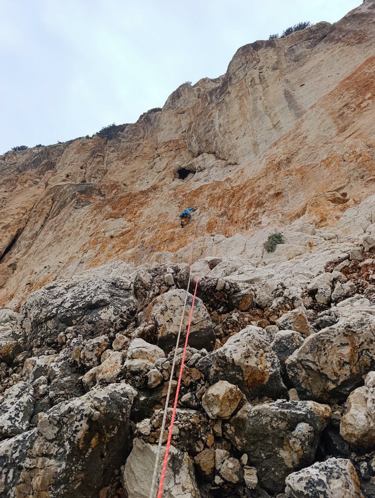
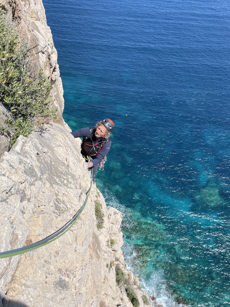
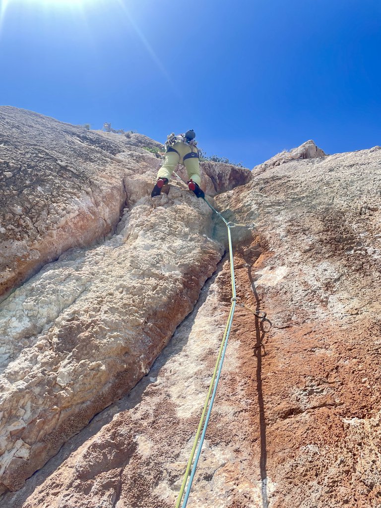
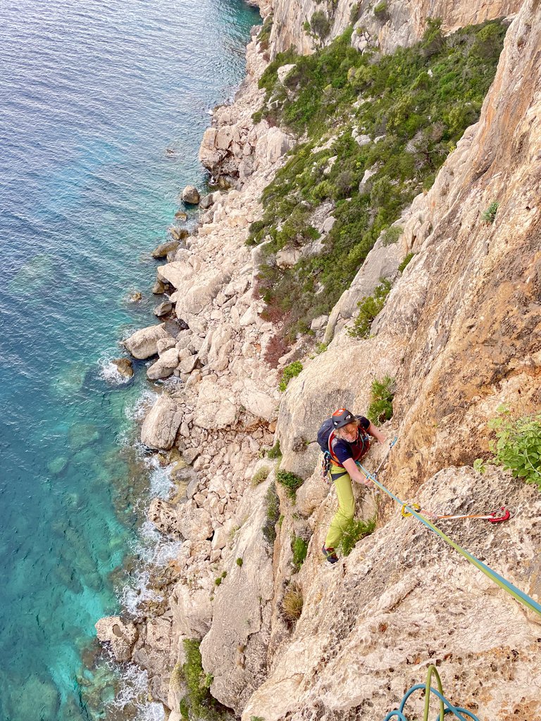
Attention!!! Not all bolts are made of titanium, older ones are often rusty. Check current information at the crag. The rock can get quite muddy when there is high humidity in the air.
Show more
Climbing
68 routes5b–8a+ Fr1 sectorSE
Biddiriscottai
5 routes · 6a+–6c+ Fr · SE–S
Zanahoria6a+ · 150 m · SE via spettacolare e molto particolare, i due tunnel sono fantastici. Verificare bene lo stato della chiodatura che, data la prossimità al mare rischia di compromettersi velocemente, causa salsedine. da cala gonone… gulliver.it ↗
L’Alchimista6c+ (obl. 6b) · a0 · 210 m Bellissima via che corre sulla scogliera appena a destra del Grottone dei Colombi. I primi due tiri sono su roccia rossa strapiombante (arrampicata atletica, tratto chiave della salita). I restanti su placche di roccia… gulliver.it ↗
Innocenti Deviazioni6a+ (obl. 6a) · 105 m · SE Bella via, un giusto mix tra il tecnico e l'atletico. Un ottima introduzione alle vie di biddiriscottai, essendo la più facile e con chiodatura abbastanza ravvicinata. La via è chiodata con fittoni in Titanio e soste… gulliver.it ↗
Gimicor6c (obl. 6a+) · 200 m · S Tutti i tiri sono attrezzati con fix inox da 10mm, attrezzatura in buono stato, tutte le soste sono attrezzate per le calate. In caso di mare grosso gli spruzzi possono arrivare fino alla prima sosta. Roccia di qualità… gulliver.it ↗
Oceano Mare6b+ (obl. 6a+) · 200 m · S Da Cala Gonone seguire l’indicazione “Carto/Osalla”. Al primo tornante continuare a salire lungo la strada cementata che presto procede in piano trasformandosi in uno sterrato. Seguirlo per due chilometri fino al primo… gulliver.it ↗
We use GPS information embedded into the photo when it is available.
3D mountains overlay
Adjust mountain panorama to perfectly match your photos because recorded by camera photo position might be imprecise.
Move tool
Rotate tool
Zoom
More customization
Choose which peak labels should make into the final photo and what photo title should be.
Next
Photo Location
Coordinates work here too — paste them as 69.72728, 20.61890 and press Enter
Satellitte
Flat map
Relief map
Latitude
Longitude
Altitude
OR
Latitude
°'''
Longitude
°'''
Apply
Register Peak
Peak Name
Latitude
Longitude
Altitude
Register
Teleport
PeakVisor
This 3D model of Sagarmatha National Park in Nepal was made using the PeakVisor app topographic data. The mobile app features higher precision models worldwide, more topographic details, and works offline. Download PeakVisor maps today.
Download OBJ model
PeakVisor
The download should start shortly. If you find it useful please consider supporting the PeakVisor app.
PeakVisor for iOS and Android
Be a superhero of outdoor navigation with state-of-the-art 3D maps and mountain identification in the palm of your hand!