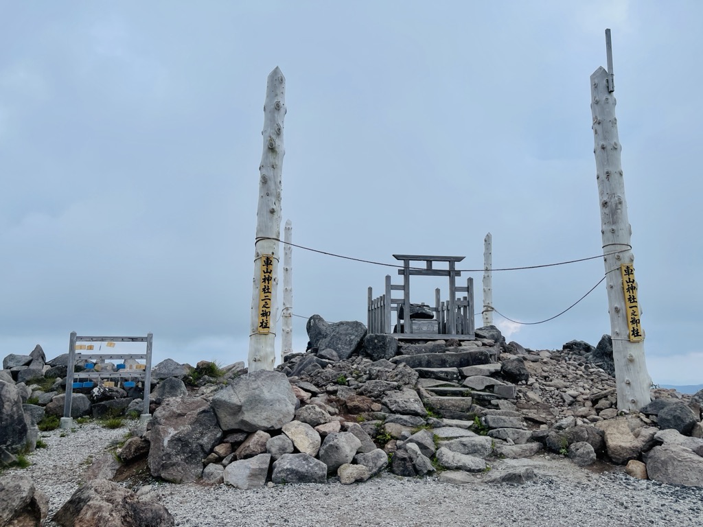
Kurumayama (車山) is mountain in Nagano Prefecture, Japan. A part of the Kirigamine volcano and is the highest point.
The north-west side is covered with forest. The south-east side of Kurumayama is grassy which allows easy paragliding. The car access to the bottom of Kurumayama does not require the four-wheel drive, but at heavy snow, snow chains may help a lot.
There's a trail leading to the summit.
The nearest mountain hut is Korpokkur Hutte located 805m/2 640ft WNW of the summit.
We use GPS information embedded into the photo when it is available.
3D mountains overlay
Adjust mountain panorama to perfectly match your photos because recorded by camera photo position might be imprecise.
Move tool
Rotate tool
Zoom
More customization
Choose which peak labels should make into the final photo and what photo title should be.
Next
Photo Location
Satellitte
Flat map
Relief map
Latitude
Longitude
Altitude
OR
Latitude
°'''
Longitude
°'''
Apply
Register Peak
Peak Name
Latitude
Longitude
Altitude
Register
Teleport
PeakVisor
This 3D model of Sagarmatha National Park in Nepal was made using the PeakVisor app topographic data. The mobile app features higher precision models worldwide, more topographic details, and works offline. Download PeakVisor maps today.
Download OBJ model
PeakVisor
The download should start shortly. If you find it useful please consider supporting the PeakVisor app.
PeakVisor for iOS and Android
Be a superhero of outdoor navigation with state-of-the-art 3D maps and mountain identification in the palm of your hand!