
Scan the QR code and open PeakVisor on your phone
Located along the western edge of the Columbia Mountains of eastern British Columbia, Canada, Wrinkly Face Provincial Park protects a basalt cliff formation in the Okanagan Highlands. Wrinkly Face Cliff is the high point and feature of the park with an elevation of 1,437 m (4,715 ft).
Wrinkly Face Provincial Park is located in eastern British Columbia, Canada and the name of the park refers to the appearance of the basalt cliff that dominates the park. It is situated on the eastern side of the Interior Plateau along the western edge of the Columbia Mountains in the Okanagan Highlands.
Located to the east of the popular Okanagan city of Kelowna, Wrinkly Face Provincial Park is one of many parks in the region that have been created for conservation and recreational purposes. Some of the many other parks that are located nearby include:
Located in the Okanagan Highlands, Wrinkly Face Provincial Park is in central British Columbia. The Okanagan Highlands are the most southerly of the three highland subdivisions of the province alongside the Shuswap Highlands which are both the western limit of the Columbia Mountains.
The Okanagan Highlands extend from southern British Columbia to the state of Washington in the US. The Monashee Mountains, which are a major subrange of the Columbia Mountains, are east of the Okanagan Highlands and the Thompson Plateau lies to the west of the highlands.
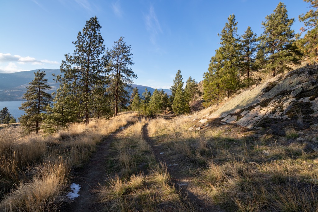
The Okanagan Highlands have a diverse geological history that includes massive fault lines, volcanoes, and glaciers. In Wrinkly Face Provincial Park, the main feature is the basalt cliff, which is called Wrinkly Face Cliff.
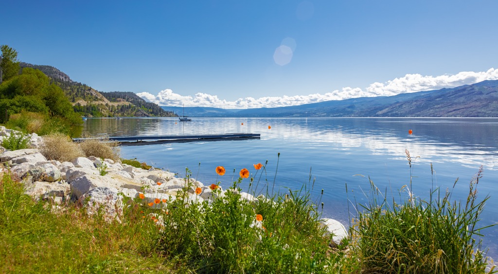
The origins of the basalt that form Wrinkly Face Cliff are likely from the volcanic activity that was centered around the Okanagan Fault, which later filled with water to create Okanagan Lake. Basalt lava flows are typically quite thick and the magma that formed the cliff likely erupted upon the surface.
In general, the mountains and ridges of the Okanagan Highlands are rounded over and are typically less than 2,200 m (7,000 ft) tall due to erosion from the extensive ice sheet that dominated the landscape during the Pleistocene. Furthermore, the ice sheet and glaciers deposited a widespread mantle of drift across the region.
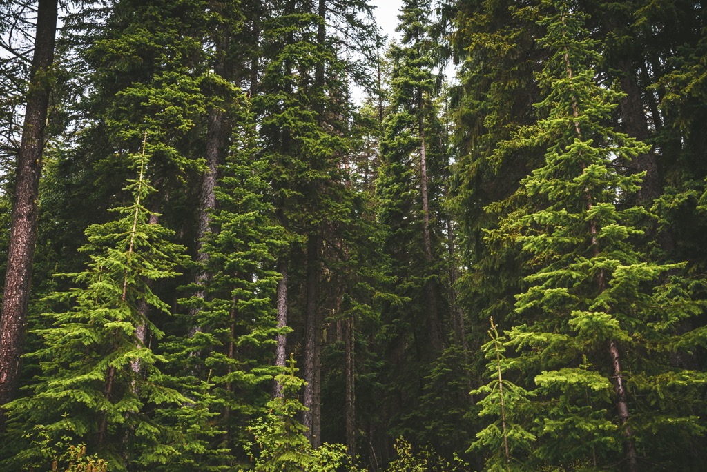
Wrinkly Face Provincial Park is part of the North Okanagan Highlands Ecosection, which is also represented extensively in the nearby Greystokes Provincial Park. The park protects a fragile ecosystem of dry meadows at the top of the cliff and seasonally wet meadows and a Douglas fir forest at the base.
Some of the rare plants that are found in the park include Obscure Cryptantha, Needleleaved Navarretia, Northern Linanthus, False-mermaid, and Awned Cyperus.
The dry meadows at the top of the cliff are particularly sensitive to damage; however, visitors may view the abundance of wildflowers from the designated trails. Some of the wildflowers to look out for are wild strawberry, heart-leaved arnica, small-flowered Blue-eyed Mary, upland larkspur, early blue violet, annual hawksbeard, alpine paint brush, blue clematis, few flowered shooting star, and many more.
The land in and around Wrinkly Face Provincial Park is part of the traditional territory of the Syilx First Nations. There are no documented cultural sites in Wrinkly Face Provincial Park; however, the First Nations likely used the cliff as a vantage point for hunting. Furthermore, some of the plants that are found in the park may have been gathered for medicinal or spiritual purposes.
The first inhabitant of the Okanagan Valley arrived about 9,000 years ago, after the glacier and meltwater retreated from the region. It is believed that the first people traveled from the south, from the Columbia River valley to arrive in the Okanagan.
Little is known about the first people to arrive in the Okanagan. The Syilx First Nation is culturally Interior Salish and their culture originated along the west coast of British Columbia. About 4,000 years ago Salish First Nations expanded into the interior and supplanted the previous cultures in the region.
The Syilx were traditionally hunter-gatherers who moved from place to place while following the hunting and gathering seasons of the region. They would regularly move camps according to the seasons and they would stay short-term in many different locations. Many artifacts have been found along the shores of the lakes, which suggests that this area was one of their seasonal hunting and fishing areas.
During the winter, the Syilx would typically winter in semi-permanent homes, which were often pit houses or semi-subterranean structures. Some of the villages in the region were quite large and contained hundreds of pithouses, while other winter villages were much smaller.
The park was created in 2004 to protect the unique ecologies that are found in the Okanagan Highlands, especially the dry meadows at the top of the cliff. The park is a popular place for hunting, fishing, and snowmobiling. A local club has created nearly 300 km (180 mi) of trails that cross the park, including paths to the popular Graystokes Plateau.
There is no direct road access to Wrinkly Face Provincial Park; however, some of the local logging roads come close to the park and have trailheads leading to the cliffs. The Okanagan High Rim Trail is the main trail through the park, and it is part of a 60 km (36 mi) trail from Vernon to Highway 33, near Kelowna.
Typically done as part of a 3-day backpacking trip, the Okanagan High Rim Trail is praised by all those that travel it. There are two backcountry campgrounds along the trail to use and the trail is great for any time of the year. The hike through Wrinkly Face Provincial Park can easily be done as a day hike, if you have limited time in the area.
The Okanagan is a beautiful area to visit during the summer and the winter. The following are some of the best cities and towns to near Wrinkly Face Provincial Park.
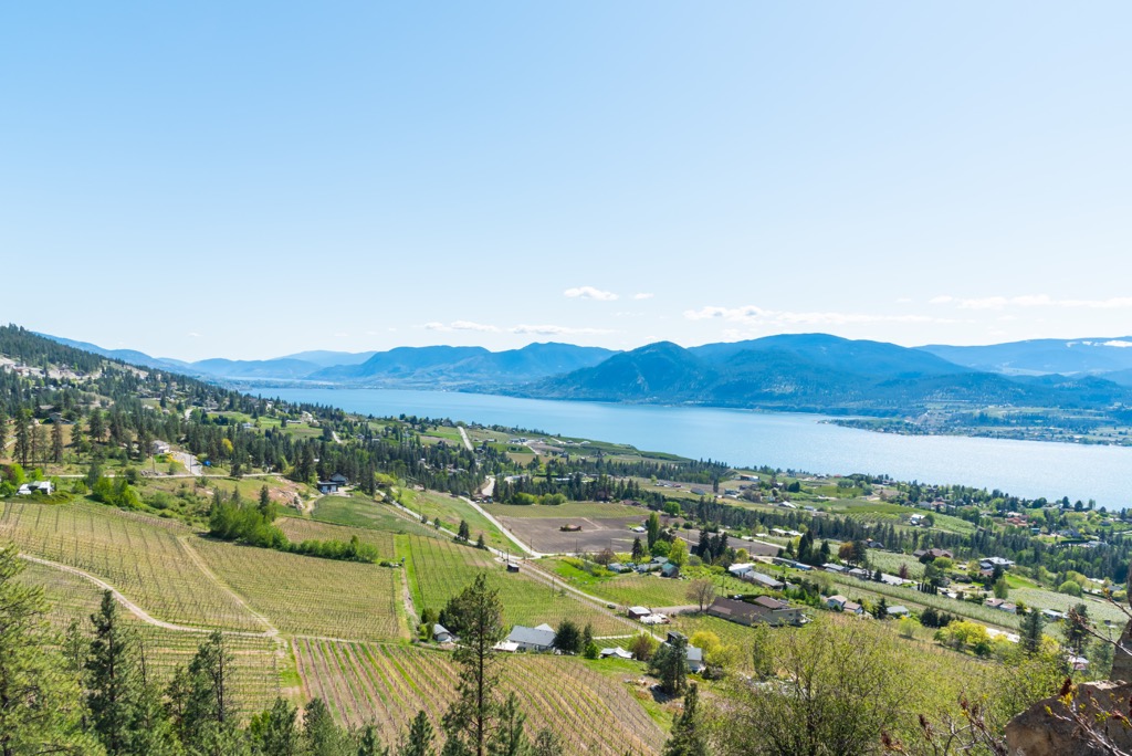
Kelowna, British Columbia is built upon the shores of Okanagan Lake in the Regional District of Central Okanagan. Kelowna is one of the province’s major metropolitan areas. It offers good access to the many attractions and wilderness areas of the Okanagan Highlands and the surrounding areas.
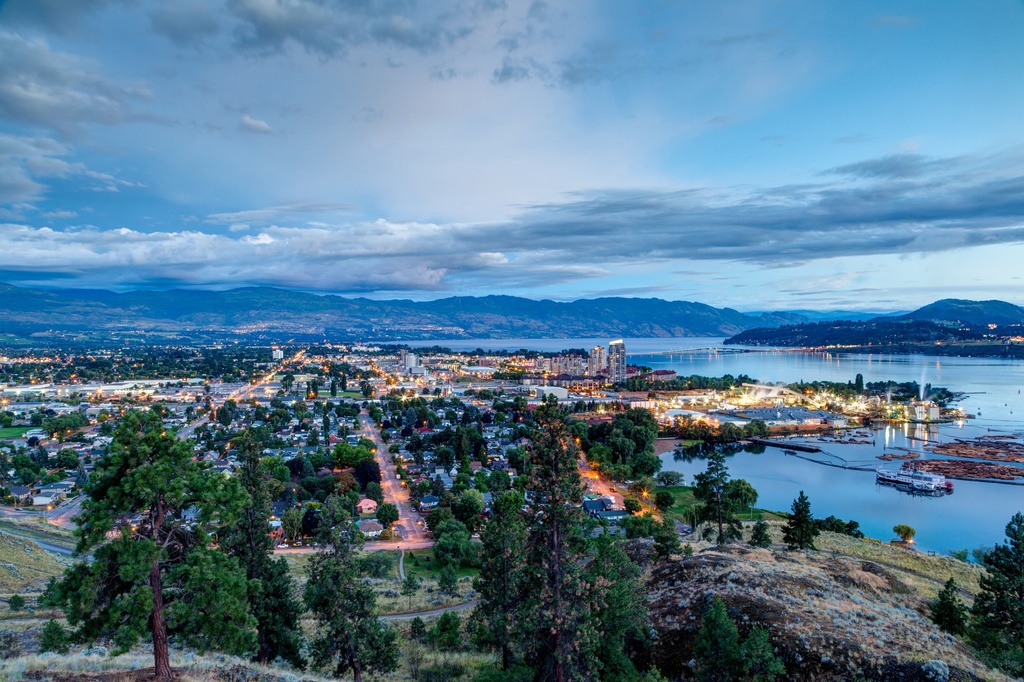
There are many lakeside accommodation options to choose from in the city, as well as campgrounds and hotels. Golf courses, fantastic restaurants, orchards, and farmer's markets are abundant within this popular resort city. There are innumerable hiking opportunities around the city, too, many of which lead along the lake, down a ridge, or up a stream to a waterfall.
Wrinkly Face Provincial Park is located about 30 km (18 mi) northeast of Kelowna and it is one of many wilderness parks and hiking near Kelowna. Other places to check out are Myra-Bellevue Provincial Park, Okanagan Mountain Provincial Park, Dark Lake Provincial Park, and Eneas Lake Provincial Park, and Graystokes Provincial Park.
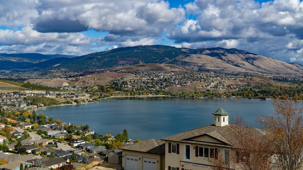
The city of Vernon is situated at the north end of Okanagan Lake and Kalamalka Lake. Set among rolling hills that are home to ranches, farmland, vineyards, and orchards, the city of Vernon is the largest city in the North Okanagan. It is an oasis on the shores of Okanagan Lake.
Vernon is a little smaller and a little more relaxed than the nearby city of Kelowna; however, it has all the amenities you need for an enjoyable trip. There are many companies in Vernon that offer guided and self-guided tours of nearby vineyards. Additionally, Vernon hosts a series of farmer’s markets that you can stroll through on the weekend when you’re not on the water or in the hills.
Wrinkly Face Provincial Park is located about 20 km (12 mi) south of Vernon, and is one of the many provincial parks in the area. Some of the other nearby parks that have great lake access and hiking trails are Kalamalka Lake Provincial Park, Ellison Provincial Park, and Truman Dagnus Locheed Provincial Park.


