Scan the QR code and open PeakVisor on your phone
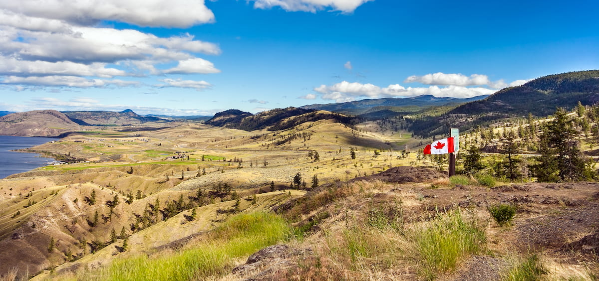
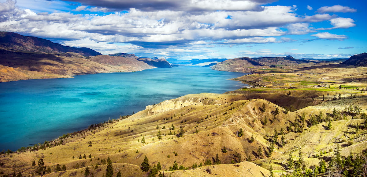
Unbeknownst to most B.C. travelers, a large, unassuming desert lies in the southern portion of the Interior Plateau, east of the Canadian Cascade Mountains. The Thompson Plateau, also known as the Okanagan-Thompson Plateau, is located west of Okanagan Lake, east of the Fraser River, and south of the Thompson River.
Though the western edge of the plateau is fairly mountainous, most of the region is characterized by rangeland, rolling plateaus, sagebrush, and prickly pear cacti. Unsurprisingly, the Thompson Plateau region is considered one of the warmest and driest ecoregions in Canada.
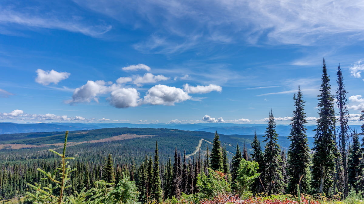
Despite the region’s arid reputation, however, the Thompson-Okanagan Plateau ecoregion is extremely diverse. Apex Mountain, the tallest summit in the plateau, lies just west of Penticton and sits at over 7,300 feet in elevation. Nearby, the unrelated Apex Mountain Resort operates a ski resort on Beaconsfield Mountain, another 7,000-foot summit. Portions of the Thompson Plateau are also covered in subalpine forest and tamarack swamp.
Continental and alpine glaciers played a significant role in shaping the Thompson Plateau and greater Okanagan-Thompson ecoregion. During the Pleistocene epoch, the entire area was glaciated. As glaciers retreated, glacial lakes developed within valleys that dissect the Interior Plateau.
Nickel Plate Provincial Park is an undeveloped wilderness area that sits near Lookout Mountain above the Nickel Plate Lake region. The park is particularly popular among hikers and cross-country skiers, though fishing, paddling, and kayaking are also available in the park. The Nickel Plate Nordic Center offers roughly 25 miles of groomed and track-set trails in the winter and boat access to the lake is located along a rough gravel launch at the north end of the dam. Access to the park requires traveling a gravel road that is only suitable for 4WD vehicles.
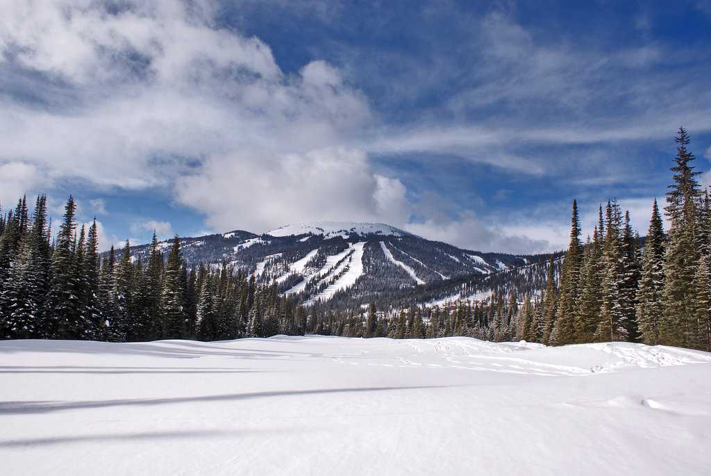
Explore 18 designated hiking trails at Sun Peaks Resort. Visitors can choose from low-grade, sightseeing strolls to breathtaking summit treks. Hop on the Sunburst chairlift to hike into the alpine or visit during the winter to explore the resort’s 6.2 miles of skiable terrain. Sun Peaks is also home to a mountain bike park with over 2,000 vertical feet of terrain. Sun Peaks comprises three mountains: Tod Mountain, Sundance Mountain, and Mount Morrisey and sits just outside of the bustling city of Kamloops.
Known for its infamous dry champagne powder snow, Apex Mountain sits at over 5,000 feet and encompasses over 1,100 acres of skiable terrain. The mountain receives roughly 236 inches of snow each season and runs can accommodate both novice and experienced skiers. Apex also offers a variety of accommodations, including ski in/ski out hotel rooms and executive chalets.
Located at the heart of British Columbia’s incredible interior, Gold Country encompasses dozens of charming towns, including Cache Creek, Logan Lake, Douglas Lake, and Ashcroft. Gold Country is known for its incredible diversity. Visitors can experience the pioneer spirit, learn about Indigenous heritage, or explore the region’s many river canyons, mountains, and grasslands.
Cache Creek is best-known for its western ambiance, gently rolling grasslands, and lake-dotted landscape.
Ashcroft lies within a valley beside Thompson River and offers a plethora of outdoor recreation opportunities, including rock climbing, hiking, and wildlife viewing.
Logan Lake is arguably the most visited community in Gold Country. Logan Lake attracts hunters, backcountry explorers, hikers, and winter enthusiasts looking to explore nearby lakes and summits.
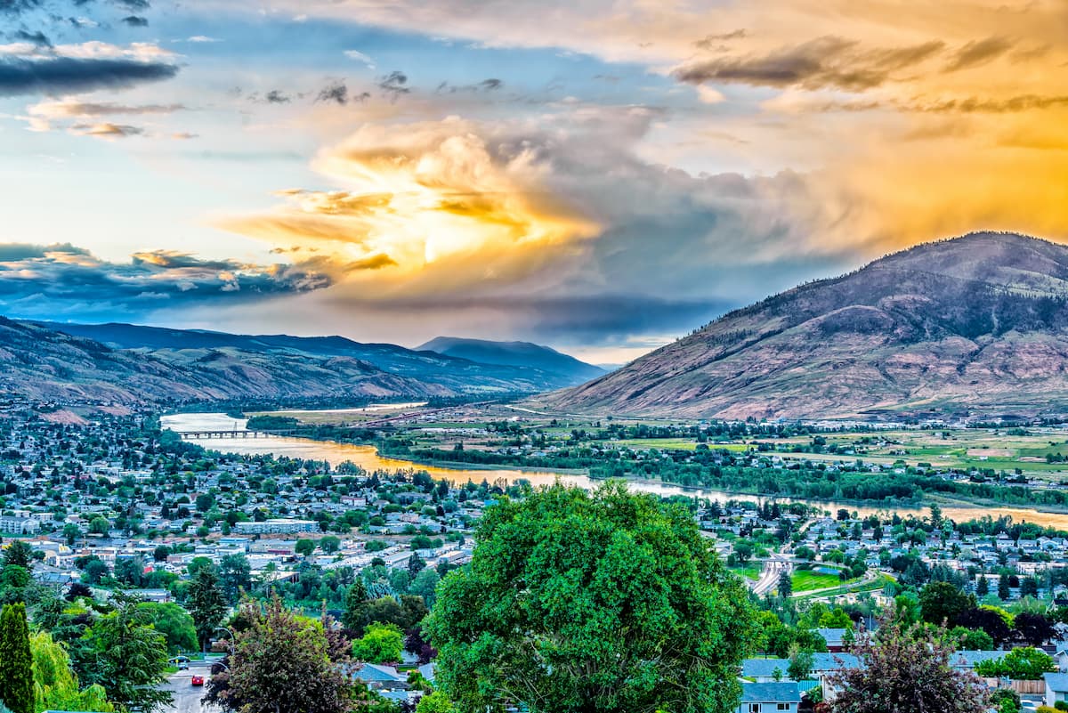
A city known for its outdoor recreation, Kamloops is dotted with an array of cafes, shops, and restaurants, as well as local art and museums. Kamloops is also home to the Kenna Cartwright Park, a 2,000-acre park that boasts more than 20 miles of trails.