Scan the QR code and open PeakVisor on your phone
Located on Christina Lake, Gladstone Provincial Park covers over 97,000 acres of British Columbia wilderness. Although it was officially established in 1995, the park’s history dates back to the First Nations people. Several nationally significant cultural artifacts, including three shoreline pictograph sites, historic home sites, and a semi-permanent village, can be found within the park boundaries. Gladstone also houses a historic cabin and an old gold mine.
In the early 1990s, Gladstone Park, which encompassed both Ole Johnson and Texas Creek parks, was identified for protection in the Kootenay-Boundary Land-Use Plan. By the mid 1990s, Gladstone Provincial Park was officially established, allowing outdoor enthusiasts to explore the diverse landscape of the Selkirk Foothills.
Surrounded by the Monashee Mountains, Gladstone encompasses four prominent peaks: Mount Faith, Mount Gladstone, Galbraith Ridge, and Lewis Peak. The park’s impressive elevational gradient stretches from the lakeshore of Christina Lake to an alpine oasis, supporting a wide range of habitats.
The park protects both stands of low-elevation cedar-hemlock forest and old-growth. The entire drainage of Sander Creek, which provides critical spawning habitat for kokanee and rainbow trout, is located within the park boundaries and, the park serves as an important wildlife protection area for blue-listed California bighorn sheep, grizzly bear, and red-listed northern leopard frog.
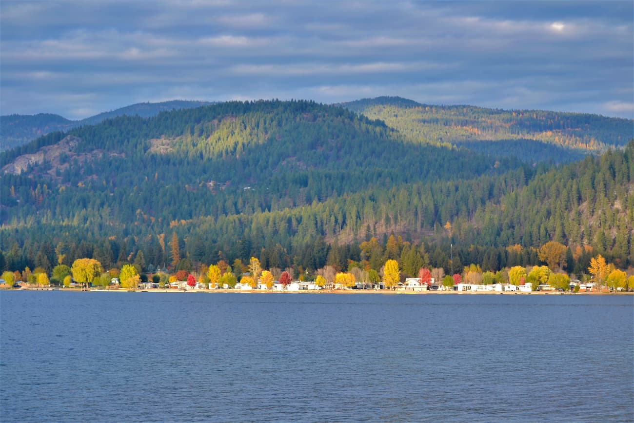
Gladstone is best-known for the Texas Creek campground, a vehicle-accessible, seasonal campground located on the shoreline of Christina Lake. Texas Creek offers 63 reservable sites and is an idyllic location for camping, picnicking, swimming, and hiking. Roughly 30 miles of self-guided hiking trails can be found scattered throughout the park, several of which start from the Texas Creek campground area.
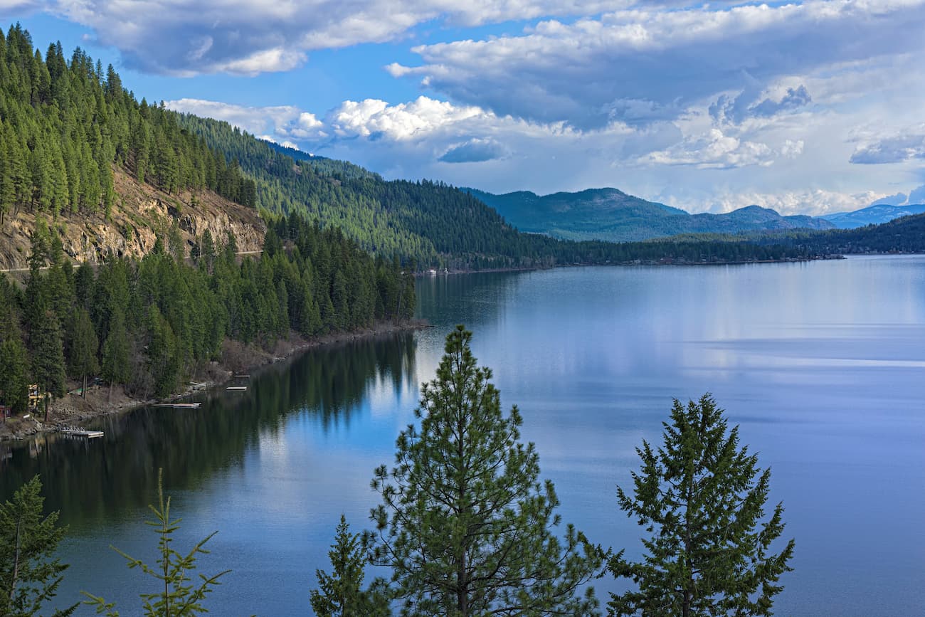
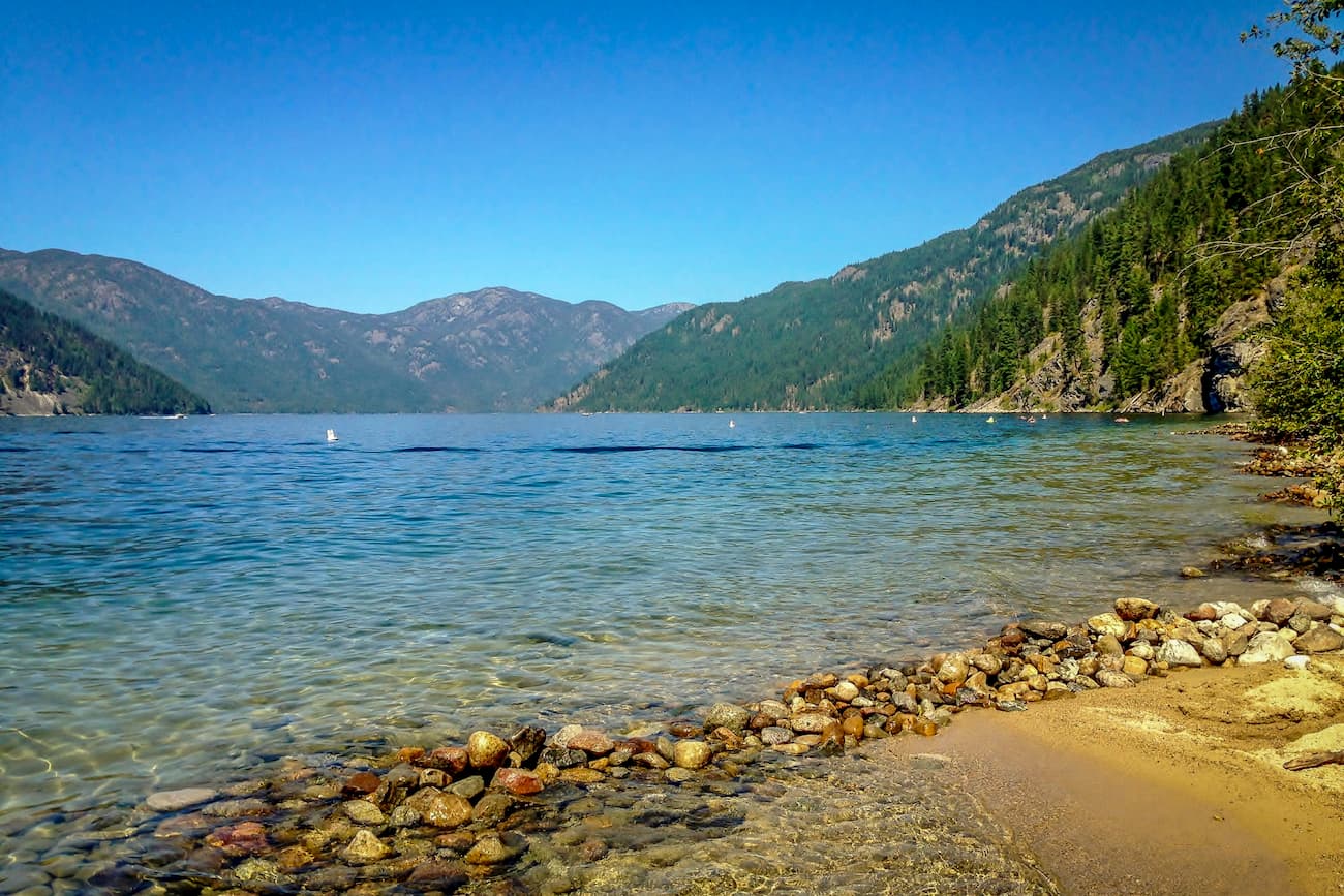
Christina Lake is known as one of the warmest and clearest lakes in British Columbia. During summer months, it’s not uncommon to see beachcombers sprawled out along one of the lake’s many beaches.
Arguably one of the most scenic footpaths in the park, the Deer Point trail is located across from site 42 at the Texas Creek campground. From there, the 7-mile trail follows the high bluffs above Christina Lake. Eventually, the trail levels off, winding through ponderosa forest and reaching stunning views of the lakeshore below.
The Xenia Lake trail is a steep and technical ascent frequented by experienced hikers. The trail can be accessed three ways – at the end of the Deer Point trail, via boat along the northwest end of Christina Lake, or from an old, rough logging road. The trail, which climbs roughly 2,300 feet in less than 2 miles, is not maintained by park staff. Though the route is generally well-tagged, hikers are expected to be self-sufficient and proficient in backcountry navigation.
The Christina Crest trail is a sub-alpine, backcountry trail that stretches for 9 miles to the summit of Mt. St. Thomas. The trail, which features striking views of Christina Lake and the Big Sheep Creek valley, is a cherished footpath used by multi-day backpackers and adventurous mountain bikers. Though not particularly strenuous, this trail is both rugged and remote, making it best-suited for experienced hikers and bikers.
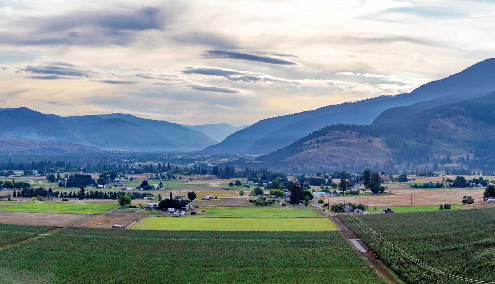
Just 30 minutes from Gladstone Provincial Park, Grand Forks is an old copper-mining town that was established in the late 19th century. Although Grand Forks isn’t a major metropolis, it remains Boundary Country’s largest city and lies in a lush, broad valley flanked by the Monashee Mountains. The Great Trail, Kettle River and Granby River all converge in Grand Forks, making this town a heavenly destination for outdoor recreation. In addition to housing several heritage sites and cultural attractions, Grand Forks also offers a large selection of grocery stores, restaurants, cafes, and coffee shops.