Scan the QR code and open PeakVisor on your phone
The Tea Creek Wildlife Management Area (WMA) is an outdoor recreation destination located within the US state of West Virginia. The WMA lies within the Monongahela National Forest. The tallest peak in the region is Red Spruce Knob at 4,705 ft (1,434 m) while the most prominent is Big Spruce Knob with 1,469 ft (448 m) of prominence.
The Tea Creek WMA lies in eastern West Virginia within the Monongahela National Forest, near the state’s border with Virginia. This managed area spans 67,919 acres (27,486 ha) of national forest land.
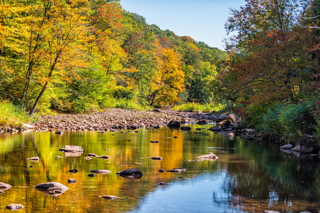
The WMA covers land in Randolph, Webster, and Pocahontas counties within the state. A majority of the area can be accessed along the U.S. Route 219. Major bodies of water include the Greenbrier, Elk, Gualey, and Williams Rivers.
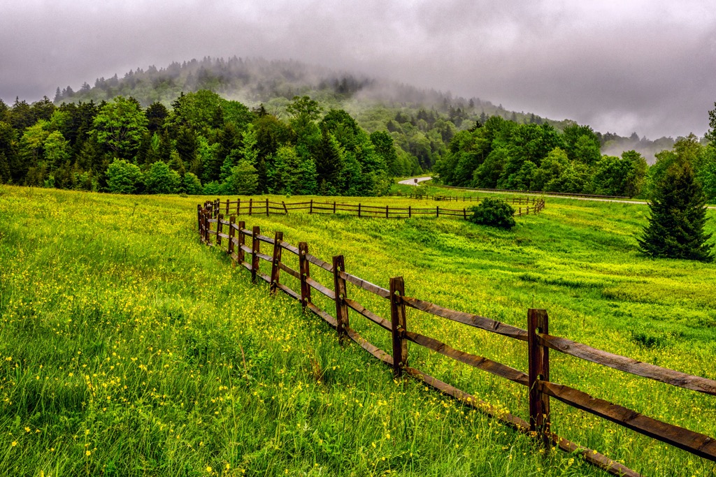
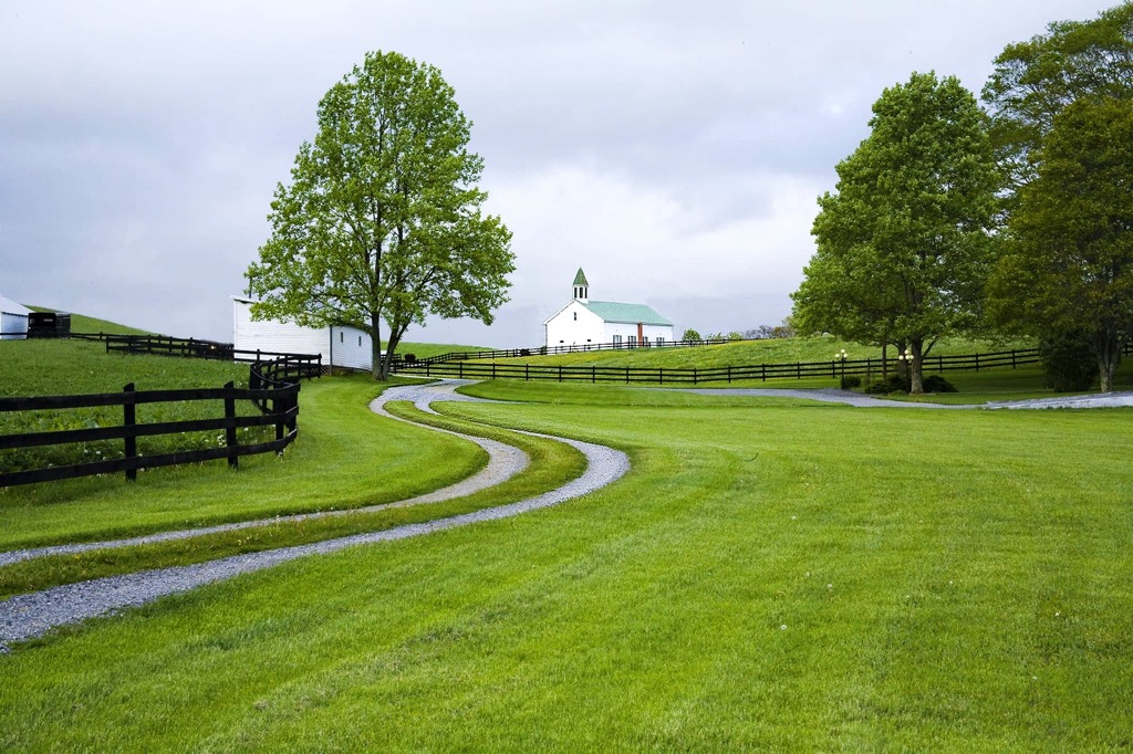
The lowest elevation in the WMA is around 1,000 feet (305 m) while the highest is marked by the summit of Red Spruce Knob. A vast majority of the region is forested and features rolling hillsides, valleys, and ridgelines.
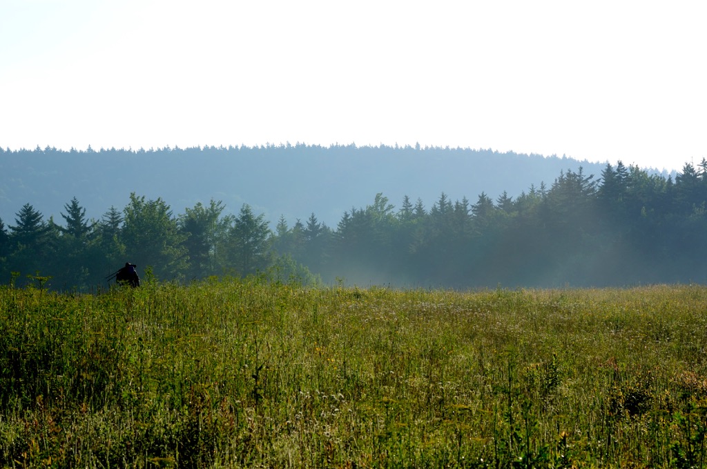
Changes in elevation are not drastic though there are very few flat regions. These densely forested hillsides provide hikers with minimal amounts of viewpoints. The seasonal creek and streams coupled with the dense tree coverage, has allowed for the region to support a wide variety of both flora and fauna.
The Tea Creek WMA lies within the Monongahela National Forest and is surrounded by various other protected areas. The Cranberry Wildlife Management Area lies to the west while the Cheat Wildlife Management Area is to the northeast. Both Seneca State Forest and Rimel Wildlife Management Area lie directly south while the Warm Springs District of George Washington National Forest lies further south.
The peaks and ridgelines found in the WMA, along with those found throughout Monongahela National Forest, are part of the Appalachian Mountains. This range spans from the US state of Alabama northward to the Canadian province of Newfoundland and Labrador.
Furthermore, the peaks in this region are part of the Allegheny Mountains, one of the many subranges of the larger Appalachian Mountains. The Allegheny Mountains extend throughout the surrounding region in a northeast-southwest orientation, for roughly 400 miles (644 km) in both eastern West Virginia and southwestern Maryland.
Though there are numerous subranges of the Appalachian Mountains, the Allegheny Mountains mark one of the most rugged sections of terrain in the eastern US. The boundaries of the range are marked by the Blue Ridge Mountains to the east and the Allegheny Plateau to the west.
These peaks were formed during the Alleghanian orogeny through a series of thrust faulting and folding. This continual process gave rise to the series of alternating ridges and valleys. The Alleghanian orogeny was a major mountain building event that helped form much of the Appalachian Mountains.
The geological history of the land can be seen through the westward folds in the sedimentary rock. Higher elevations feature exposed native bedrock which has been worn down through periods of glaciation and glacial melting.
Major peaks found within the Tea Creek WMA include Red Spruce Knob, Big Spruce Knob, Black Mountain, Gibson Knob, and Red Lick Mountain.
The flora and fauna found in the WMA is similar to that found throughout the Allegheny Mountains. A vast majority of the landscape features hardwood forests and red spruce. Common tree species include mountain ash, eastern hemlock and red maple.
The surrounding national forests and Wildlife Management Areas allow for a variety of animals to thrive. Common animals include squirrels, chipmunks, snowshoe hare, weasels, foxes, black bears, grouse and white-tailed deer.
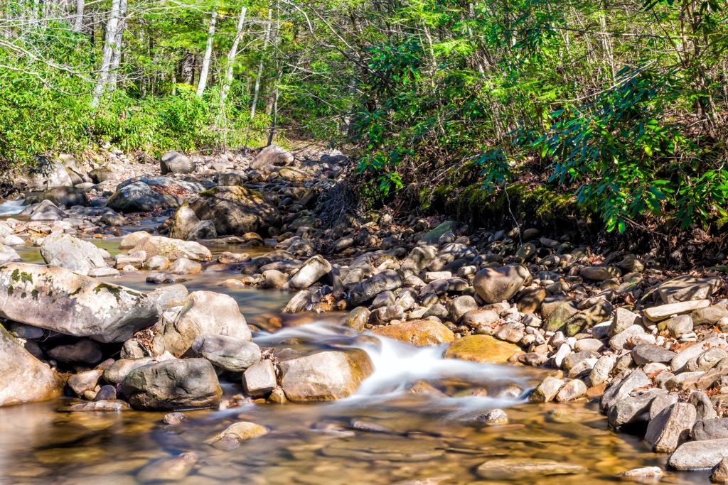
This region was once home to populations of bison, elk, and mountain lions prior to the arrival of European colonizers. There are over 70 miles (112 km) of native trout streams in the WMA which support populations of numerous species of trout.
The land in and surrounding the Tea Creek WMA has a human history that dates back long before the arrival of Europeans. This land marks part of the ancestral homelands of the Shawnee Tribe.
In the early seventeenth century, settlers of European descent began arriving in present-day West Virginia. Many of the early settlers established homesteads and were amicable with the people of the Shawnee Tribe. By the 1730s more people began to flood into the nearby Shenandoah Valley.
Over the following decades, the Shawnee people were repeatedly attacked and forced from the region as they fought to protect their native homelands. The US government worked to steadily remove the Indigenous peoples of the region and force them onto less fertile land.
From 1754 to 1763, the French and Indian War further forced the Shawnee people, and other tribes, from the region. Despite the efforts of the US government, some members of the Shawnee Tribe were able to stay in the area.
The arrival of European diseases such as smallpox and measles, drastically affected the Indigneous peoples who had no natural immunity to these illnesses. In 1817, the Shawnee Tribe signed the Treaty of Fort Meigs which forced them onto three reservations in present-day Ohio.
The Monongahela National Forest, which the WMA lies within, was established in 1911 with the passage of the Weeks Act. Over the following decades more land was added to the national forest.
The Tea Creek WMA is home to numerous hiking trails. Here are a few of the popular routes within this portion of the national forest:
This route takes hikers to the tallest point in the WMA, the summit of Red Spruce Knob. The trail climbs steadily throughout, passing through the lush forested landscape along a ridgeline. During the summer months patches of wildflowers line either side of the trail.
Once at the summit hikers have a small clearing that provides views of the surrounding forested landscape. This out and back hike is 2.4 miles (3.8 km) round trip and features 400 feet (122 m) of elevation gain.
The Tea Creek Mountain- North Fork Loop climbs steeply at the beginning before reaching the summit of Tea Creek Mountain. The trail begins at the Tea Creek Campground where Tea Creek runs into Williams River.
After reaching the summit, the trail begins a gradual decline back down to the campground. This section of trail is densely forested with numerous views of the creek. The loop trail can be made easier by completing it in a clockwise direction. The entire trail is 10.8 miles (17 km) in length and features 1,827 feet (557 m) of elevation gain.
The Gauley Mountain trail showcases the landscape of the region with no major viewpoints along the route. This forested route features numerous small climbs and descents throughout.
Along the route, hikers pass by numerous creeks including Red Run and Right Fork Tea Creek. The out and back trail is 10.3 miles (16.6 km) in length with 715 feet (218 m) of elevation gain.
Looking for a place to stay near the Tea Creek Wildlife Management Area? Here are some of the best cities and villages to check out in the region:
Marlinton lies at the southern edge of the WMA and is home to around 1,000 residents. Each year the small historical city hosts the Roadkill Cook-Off and the Hudson Cream West Virginia Biscuit Bake Off during their Autumn Harvest Festival.
The town is home to the Pocahontas County Opera House and lies in close proximity to the Cranberry Glades Botanical Area. Other nearby attractions include Beartown State Park, Highland Scenic Highway, and the Cranberry Mountain Nature Center. This center further explains the history and ecosystems of the region.
The city of Charleston, West Virginia lies west of the WMA, and is situated at the confluence of the Kanawha and Elk Rivers. Home to around 48,000 residents, Charleston is the capital city of the state.
Popular activities include the West Virginia State Museum, West Virginia Symphony Orchestra, Haddad Riverfront Park and the Capital Market. The historic district of East End features numerous historical mansions as well as the Clay Center for the Arts and Sciences.
Situated on the West Allegheny Plateau, Charleston provides easy access to the nearby Allegheny Mountains. As the major city of the region, it acts as a starting point for hiking and backpacking in the nearby mountains.