Scan the QR code and open PeakVisor on your phone
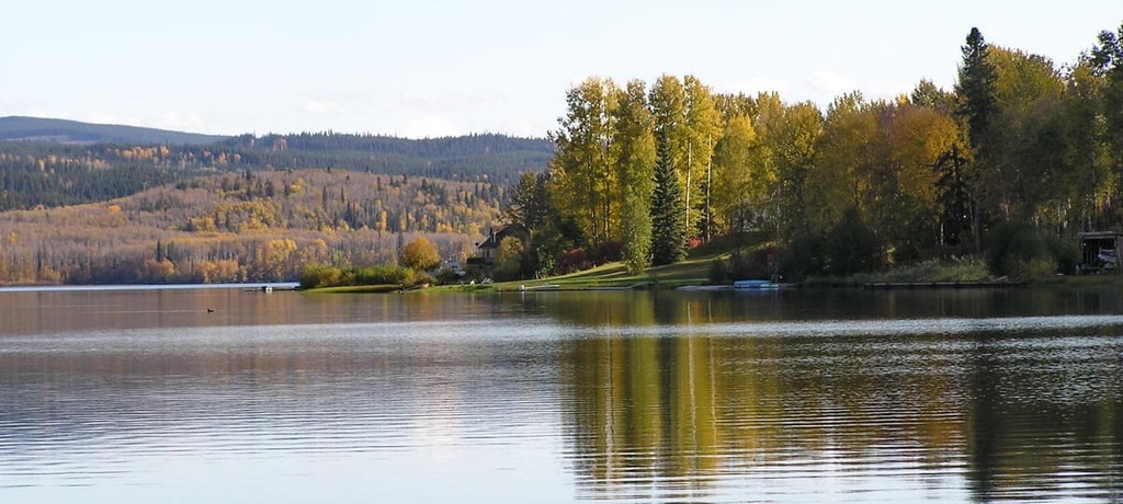
Sutherland River Provincial Park is located at the south end of Babine Lake in northern British Columbia, Canada. Situated in the middle of the Nechako Plateau in the Regional District of Bulkley-Nechako, the park encompasses 13,599 hectares (33,603 acres) of the river valley as well as the surrounding forests and mountains. Of the 2 named mountains in the park, Tetalto Mountain is the highest and most prominent.
The Regional District of Bulkley-Nechako is located in central northern British Columbia, Canada. It is home to many incredible wilderness parks and protected areas, including Sutherland River Provincial Park.
Access to the park is typically by boat via Babine Lake; however, there are logging roads throughout the region that could be used as an overland route to the park.
Other parks in the area include:
Sutherland River Provincial Park sits upon the Nechako Plateau, which mainly consists of Cenozoic lava flows. These lava flows covered older sedimentary and volcanic layers in the region as well as Jurassic and Cretaceous granitic intrusions.
The bedrock terranes of the Interior Plateau formed on different tectonic plates as microcontinents and island arcs. These microcontinents and island arcs then accreted to the western continental margin of North America about 180 million years ago.
The same tectonic processes that added these terranes to the west coast of Canada were also responsible for the formation of the Canadian Cordillera, which consist of the Coast, Columbia, and Rocky mountains.
Throughout this mountain building process, the layers of rocks in the region were compressed, cracked, bent, and uplifted, a process that also created weak spots in the continental crust. Starting around 60 million years ago, the weak areas of the continental crust cracked, and lava flowed outward, eventually creating the Nechako Plateau.
During the Pleistocene, there was significant ice coverage over the Nechako Plateau. This ice ground away at the softer rocks in the region, creating a generally flat topography.
Nowadays, the mountains on the plateau typically consist of more durable limestones or granites that were able to withstand the erosive forces of the glaciers. Alternatively, some mountains in the region are the remnants of the volcanoes that once covered the plateau with lava.
Glacial drift covers most of the plateau with a thick layer of till that has been formed into thousands of grooves and drumlin-like ridges. Most of the present-day lakes on the Nechako Plateau formed from glacial depressions, and there are significant eskers and meltwater channels that adorn the plateau.
The ecology of Sutherland River Provincial Park is mostly representative of the Sub-Boreal Spruce ecology in the flatlands and the Engelmann Spruce-Subalpine Fir ecology in the mountains. The Sub-Boreal Spruce ecology is characterized by warm summers, cold winters, deep snow cover, dense forests, varied wildlife, and clear rivers and lakes.
The densely forested, rolling landscape of the plateau is home to forests of hybrid white spruce, subalpine fir, and black spruce with occasional stands of Douglas fir in the drier areas of the plateau. The sub-boreal forests transition as they rise up the slopes of the mountains.
Eventually, Engelmann spruce becomes the dominant tree in the canopy with an understory of subalpine fir. The subalpine fir tends to dominate the alpine tree line, while the cold winds stunt the tree line trees into gnarled masses, called krummholz.
Where the mountains are tall enough to extend above the treeline, the forests dwindle to scattered stands of stunted trees and large areas of heath. The heath in the park typically contains fescue grasses and sedge wherever there is enough soil and moisture for plants to grow among the rocky outcrops.
There is abundant prey on the plateau to support sizable populations of wolves, fishers, ermines, and martens. Grizzly bears, moose, snowshoe hares, and mountain goats may also be found in the park.
Some birds, such as the pine grosbeak, red crossbill, great gray owl, and great horned owl, remain on the plateau all winter; however, many birds, such as pine siskins, golden crowned kinglets, magnolia warblers, and yellow-rumped warblers nest on the plateau during the summer and migrate elsewhere during the winter.
Most of the archaeological evidence of the initial human inhabitants on the Nechako Plateau is found along the major rivers and lakes of the region. Some archaeological evidence that has been uncovered in Sutherland River Provincial Park includes cache sites, lithics, a pictograph, and large unrecorded burial sites.
Babine Lake and the area that includes Sutherland River Provincial is the traditional territory of the Carrier, Sekani, and Dene First Nations. The first recorded European contact with the First Nations on the Nechako Plateau occurred when Alexander Mackenzie traveled through the region in 1793. Further European expeditions of the region occurred in 1806 when Simon Fraser made his way to the Pacific Ocean.
The park contains a traditionally important travel and communication route for the First Nations. This trail runs along the Sutherland River Valley and it historically linked Fraser Lake, Babine Lake, and Stuart Lake. This is one of the many trails that lead through the park, which are being mapped by the Tl’azt’en as part of their network of cultural trails.
First Nations have also used the area that is now part of the park for hunting, fishing, and gathering. Indeed, a number of old fishing camps exist on the north side of the river. Some areas of what is now the park were used by First Nations as gardens, too, and there are also decaying settler cabins scattered throughout the park.
The Nechako Plateau was a productive region for harvesting furs, so there were many trading posts built across the plateau. The region was also used for industrial timber production and agriculture throughout the nineteenth and twentieth centuries.
The remote wilderness of Sutherland River Provincial Park offers many opportunities for backcountry adventure and exploration. Some of the many activities that you can enjoy in the park include canoeing, fishing, hiking, hunting, wildlife viewing, backcountry camping, and climbing.
There are no official trails in the park, but there are several well-known and established routes. There is a hiking route to the summit of Tetzalto Mountain as well as many historical trails that can take you through the park.
The wilderness is incredibly scenic and there is the opportunity to see ancient cultural sites in the park, including a pictograph and ancient campsites. If you hike further into the park, you might also be able to locate a handful of notable waterfalls or some scenic cliffs for climbing.
Sutherland River Provincial Park is located in the remote northern wilderness of British Columbia. The following are some of the major cities and towns located near Sutherland River Provincial Park:
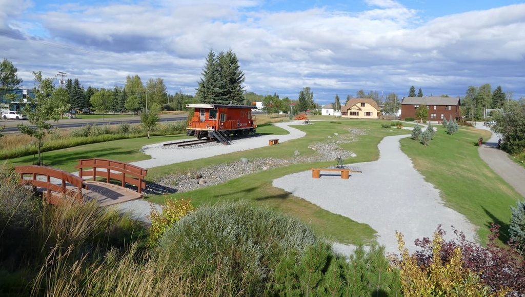
Situated centrally on the Nechako Plateau, the town of Vanderhoof is located about 80 km (48 mi) from Sutherland River Provincial Park and is surrounded by seemingly endless miles of wilderness. The small town is rich with history as it was an important location among the European settlers of what is now called British Columbia.
Located several miles to the west of Vanderhoof is the remains of a First Nations village called Chinlac. Simon Fraser made note of the village in his diary that, in 1806, he was likely the first European to trade with the residents of the village.
While the area is rich in history and culture, there are also incredible wilderness areas and trails that surround the town that are worth hiking, too. Some of the main attractions are a walking tour of Vanderhoof, the Chinlac Village Site, the Vanderhoof Bird Sanctuary, the Telegraph Trail, the Home Lake Trail, the Johnson Lake Trail, and the Gluten Lake Trail.
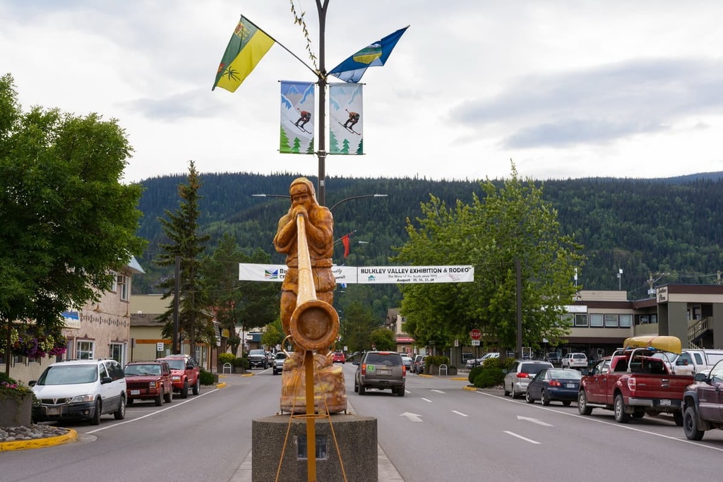
Located on the east side of the Hazleton Mountains along Highway 16, the community of Smithers is situated about 180 km (108 mi) to the west of Sutherland River Provincial Park. WIth a population of over 5,000 people, Simther is the major service hub for the Bulkley Valley.
Downtown Smithers is constructed in a charming Alpine style that beautifully reflects the stunning wilderness around the town. Some of the remote wilderness parks in northern British Columbia that are located near Smither include Tatlatui Provincial Park, Spatsizi Plateau Wilderness Provincial Park, Swan Lake/ Kispiox River Provincial Park, Sutherland River Provincial Park, and Babine River Corridor Provincial Park.
Some of the top local hikes around Smithers include the Crater Lake Trail, Malkow Lookout, Silvern Lake Trail, and Call Lake Trail. Several of the more rugged mountain trails found near the town include the Harvey Mountain Trail and the trail to Hudson Mountain.
The village of Burns Lake was incorporated in 1923, and the locals have spent decades adventuring in the wilderness around their homes. Burns Lake is located about 40 km (24 mi) to the south of Sutherland River Provincial Park
Some of the preferred trails around the village of Burns include the Lake Nourse Creek Trail, which is a 6.5 km (4 mi) trail that treats hikers to views of the impressive Nourse Creek Falls and Bears Den Trail, which is a good hike up some steep slopes to a viewpoint over Burns Lake.
Another trail located nearby is the Burns Lake South Trail, which is an 8 km (4.8 mi) trail system on the south side of Burns Lake. There are several backpacking sites around the lake that make it possible to spend several days traveling this wilderness area before returning to your car. Other trails to look for around the town include the Star Lake Trail, Kager Lake Trail, Rod Reid Nature Trail, and the Evenshen Nature Trail.