
Scan the QR code and open PeakVisor on your phone
Pallas-Yllästunturi National Park has 93 named peaks. The highest is Taivaskero at 809 m. Other notable peaks include Pyhäkero, Laukukero and Lehmäkero.
Pallas—Yllästunturi National Park is one of Finland’s 40 national parks, located in the far north of the country in Lapland. The main feature of the park is its popularity as it is Finland’s most popular national park with more than 500,000 people visiting the park every year. There are 90 named mountains in the park, the highest and the most prominent of which is Taivaskero (809 m / 2,654 ft).
Pallas—Yllästunturi National Park was founded in 1936 under the name Pallas—Ounastunturi, making it one of the two first national parks in Finland.
The park is located in the communities of Enontekiö, Kittilä, Kolari, and Muonio in western Lapland near the border with Norway. It is the third-largest park in the country with an area of 1,020 square kilometers (393 sq. mi). Its territory was greatly expanded in 2005 by the addition of the neighboring Ylläs—Aakenus Nature Reserve.
The park stretches almost exactly from north to south and consists of two roughly equal parts, but the northern part is slightly larger than the southern. The two parts of the park are separated by a highway.
You can reach the national park from one of the nearest towns with the same names as the communities, except Enontekiö, where the largest town is called Hetta. During the summer and winter tourist seasons, buses run daily from these towns to different parts of the park.
During peak seasons, there are also direct coaches even from Helsinki to the villages of Ylläsjärvi and Äkäslompolo, where you can find the ski slopes of the Ylläs ski resort. Such a trip takes about 12–13 hours by car or about 1,000 km (621 mi). You can also fly to the Kittilä Airport in 2 just hours from Helsinki using the local air company Finavia.
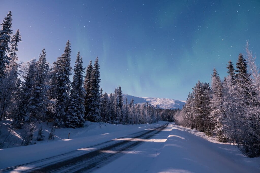
I was in Finland 10 times and traveled there by all means of transport. For traveling around the country I highly recommend overland transport, not by air. Finland is a very beautiful and interesting country, but you can’t see anything from the airplane. Especially if you are traveling to Lapland, where you can easily meet a moose on the road. Therefore, traveling by land allows you to see, not only the north of the country, but also other natural landscapes along the way.
There are two other parks, Lemmenjoki National Park and Urho Kekkonen National Park, located to the north and northeast of the Pallas, respectively, as well as several nearby wilderness areas for hiking and other activities.
The name of the park consists of two parts: Pallas and Yllästunturi.
Pallas is short for Pallastunturi. This is a group of seven fells (mountains), which includes the highest peak Taivaskero. The other six fells are Laukukero (785 m / 2,575 mi), Pyhäkero (775 m / 2,542 ft), Lehmäkero (745 m / 2,444 mi), Palkaskero (705 m / 2,312 ft), Orotuskero (685 m / 2,247 ft), and Pallaskero (646 m / 2,119 ft). The park also contains Lake Pallasjärvi.
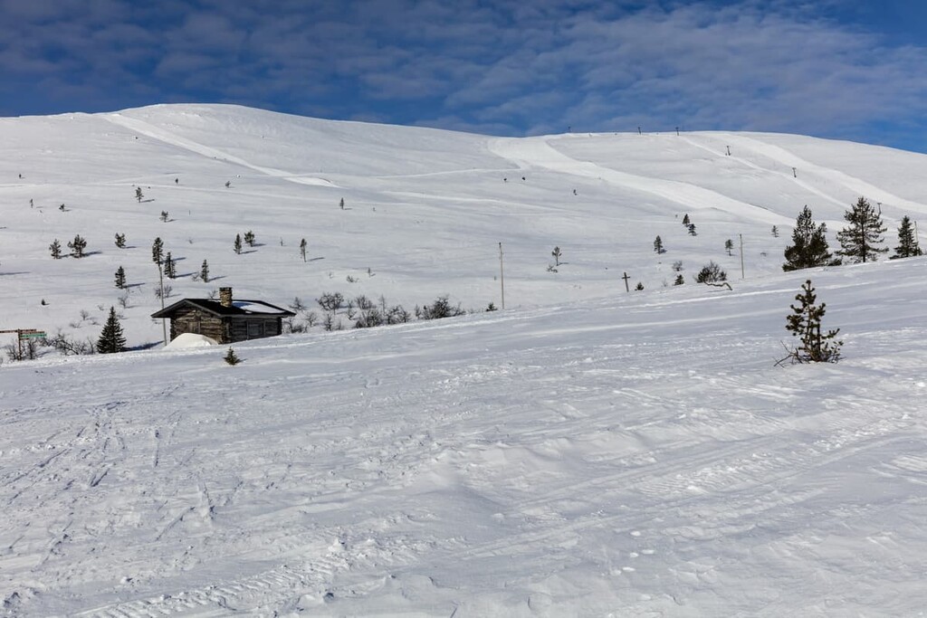
Yllästunturi, or Ylläs, for short, is another hill in the park at a height of 719 m (2,358 ft). The region’s namesake ski resort is also located on the mountain’s slopes. The Ylläs Ski Resort is the second-largest ski resort in Lapland, after Levi. And again, there is Lake Ylläjärvi nearby, which is well worth checking out.
The symbol and logo of the park, characterizing its nature, is the snow bunting. The snow bunting is a small songbird that lives throughout the northernmost parts of the Northern Hemisphere, from Alaska to Scotland and Nova Scotia, to everywhere in between.
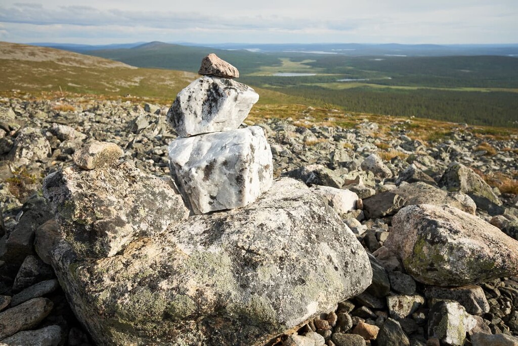
Geologically, the entire territory of Scandinavia, including Finland, is located on the Baltic Shield (a segment of the Earth’s crust), which is 1.5 to 3 billion years old. The main rocks here are various kinds of granite, gneisses, shales, and quartzites, including some of the oldest in Europe.
Therefore, there are many granite rocks and huge boulders in the forests all over the country, many of which seem like something scattered them on purpose. However, these are traces of the glaciers that once covered all of northern Europe.
The main feature of the landscape of the Pallas—Yllästunturi National Park is the chain of fells that stretches for 100 kilometers. Because of these unique beautiful fells, the landscape of Pallastunturi Fells is one of Finland’s national landscapes.
In total, there are 27 different landscapes throughout the country, which were chosen in 1992 to celebrate the 75th anniversary of the independence of Finland as a country, which until 1917 was part of the Russian Empire, and before that a part of Sweden.
Other significant landscapes include Koli National Park, Oulankajoki River, Helsinki seascape you can see from the SkyWheel, and others. All these places are associated with Finland by locals and tourists, alike.
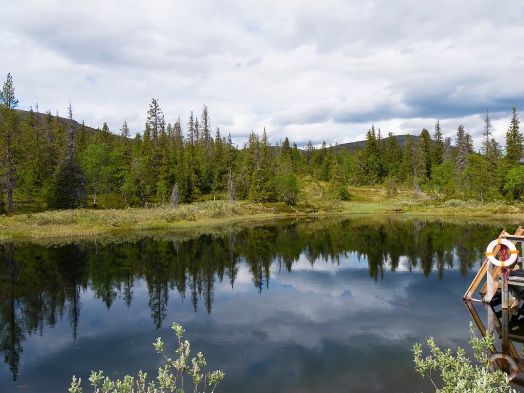
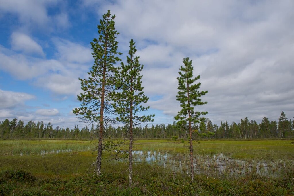
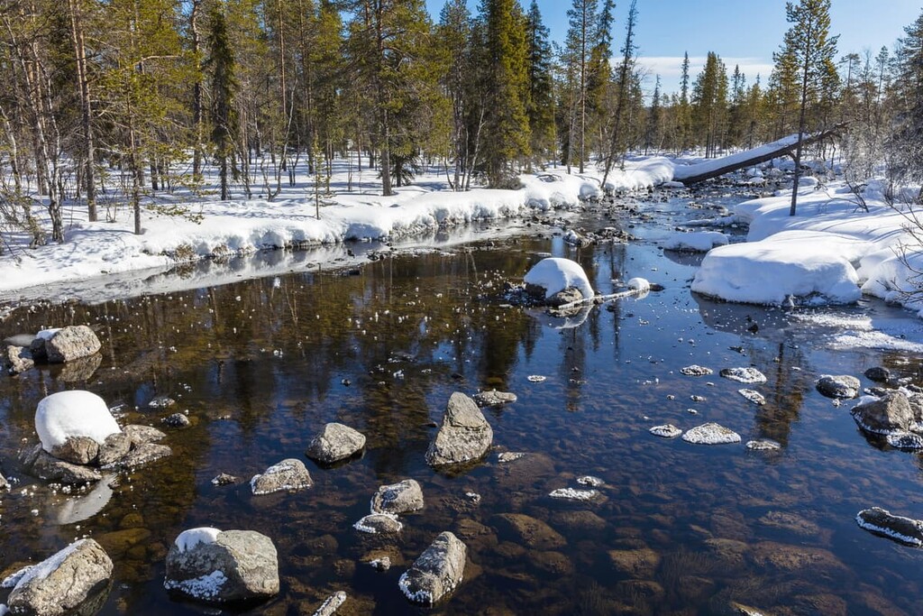
The boreal forests (taiga forests) are a no less important part of the landscape. As elsewhere in Lapland, it is the forests and swamps that cover most of the park. The park is also rich in water resources. It has lakes, ponds, and streams. The largest lake in the park is Pallasjärvi Lake, which is located southeast of the Pallastunturi Visitor Centre.
The Pallas—Yllästunturi National Park area is the southernmost place in Finland where some Arctic plants and animals can be found. Conversely, it is the northernmost place in the country where more southern plants grow, such as spruce and pines.
The park’s spruce and pine forests have many types of mushrooms and berries, including blueberries and lingonberries. Aside from hiking and cycling, picking these berries and mushrooms is my second favorite activity, as it is more like meditation than sports. If you have never tried to pick mushrooms and berries, this is another reason to go on a trip to Finland; indeed, it is a very good reason.
The many rocks in the park are covered with all sorts of mosses and lichens, a sign that the air in the park is very clean. This is also confirmed by specific measurements from the Sammaltunturi meteorological station of the Finnish Meteorological Institute (FMI) installed in the park.
This weather station was able to establish that the air is not just clean, but one of the cleanest in the world. In fact, the entire territory of Finland is one of the top countries with the cleanest air on the planet, putting it on par with Sweden, Iceland, and Estonia in Europe, Canada in North America, and Australia and New Zealand in Oceania.
The Ylläs area, in particular, has a large number of springs, which create a microclimate that supports the growth of rare plants, such as wood cranesbill, northern oak fern, dwarf cornel, currant, bird cherry, mezereum, wood stitchwort, one-flowered wintergreen, ostrich fern, garden angelica, alpine blue-sow-thistle.
In other words, for such a seemingly infertile area, the variety of plants is enormous, if you know how to understand them. I do not agree with those who say that Finnish nature is monotonous, as there is so much to discover.
The birds of Pallas-Yllästunturi National Park are typical of the Lapland, with northern and southern species in the mix. In summer, the park is home to 150 bird species.
The main bird and animal of the park, and its official symbol, is snow bunting. You can easily see these small and beautiful birds as they have a mostly black, white, and brown plumage. It is one of the first birds to return to Lapland after wintering in the more southerly regions.
Other birds in the park are Eurasian dotterel, rock ptarmigan, common blackbird, wood warbler, pine grosbeak, Siberian jay.
In the park it is quite possible to meet two large animals that live here all the time—the brown bear and the lynx. Both migrate through the park for hundreds of kilometers. For bears, remember that they wake up from hibernation in April and May and go to sleep for the winter in September and November.
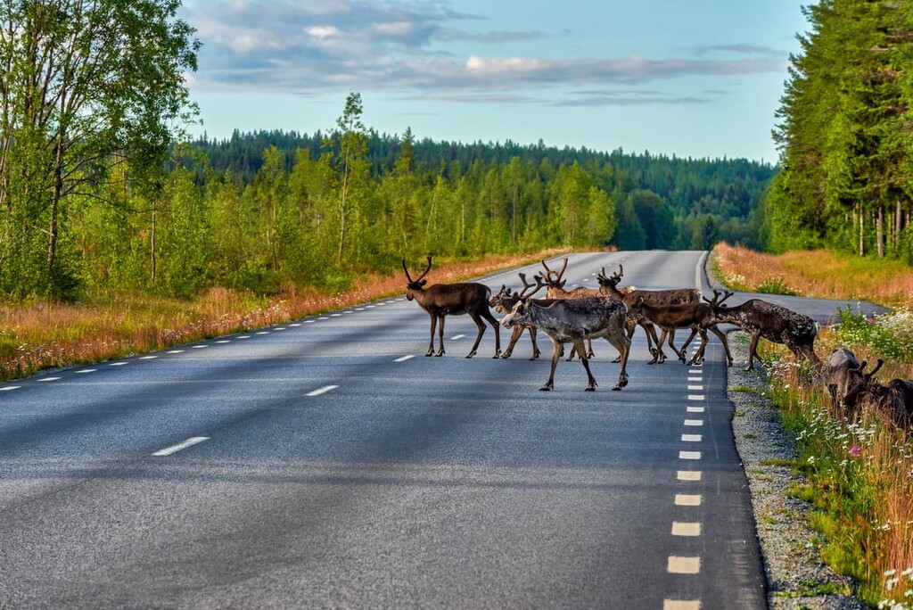
In addition to bears and lynx, there are deer and elk and other animals typical of the Lapland tundra and forest belt, such as foxes, hares, martens, and others.
The territory of the Finnish part of Lapland is vast area of land with small mountains, or hills, or fells, as they are called, up to 1,000 m (3,280 ft). The fells are the remnants of the ancient mountains, the Karelides, that existed in Finland 2 to 3 billion years ago, extending to the Finnish part of the Karelia region, which is divided into North Karelia and South Karelia in the southeastern part of the country.
Nowadays, we can only see the bases of these mountains. But, at their highest extent, these mountains reached the height of the Alps’ Mont Blanc (4,807 m / 15,774 ft).
There is an interesting historical fact about the highest and most prominent mountain in the park, Taivaskero (809 m / 2,654 ft): At noon on July 6, 1952, the second symbolic Olympic flame of the 1952 Summer Olympics in Helsinki was lit on the peak. The first flame is traditionally lit in Greece. The two flames were joined in Lapland in the town of Tornio on the way to the Olympic stadium.
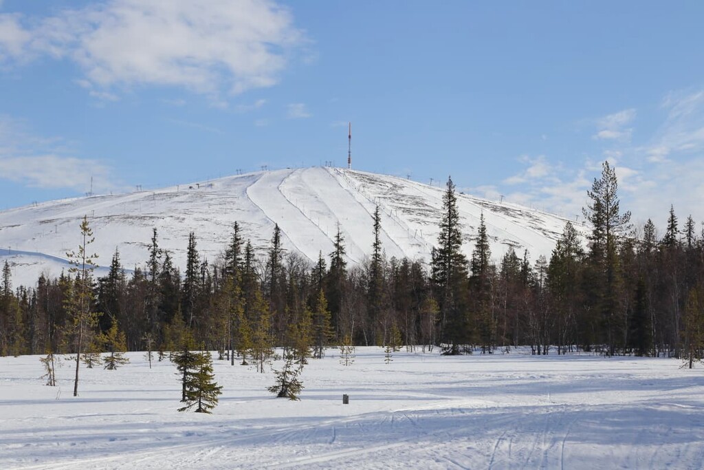
For the second most important fell in the park, Yllästunturi, the Finns have found a more practical use. Tourists climb it not only to admire the surrounding panoramic views but also to ski down from it. It is the second most popular, as well as the highest, ski resort in Finland. The resort has 330 km (210 mi) of cross-country skiing tracks, 63 ski slopes, and 28 ski lifts. Here’s the map of the resort.
The eight other highest peaks in the park are:
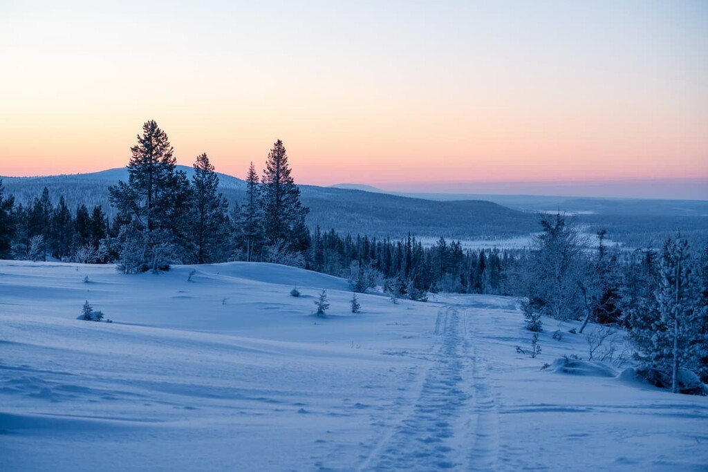
The park has 500 km (310 mi) of marked hiking trails of varying lengths, from half-day hikes to multi-day backpacking hikes in the wilderness. You can start it in one of the three parts of the park: Hetta in the north, Pallas in the center, and Ylläs in the south. I will tell you about the three most important trails in each of the three parts:
The Hetta — Pallas Trail is the classic route in the Pallas—Yllästunturi National Park. It connects the park’s between its two parts, northern and central, through a chain of many hills (Pyhäkero, Suastunturi, Lumikero), including the most famous peaks of Pallastunturi. It is also the oldest hiking route in the whole country.
From the fells, there are panoramic views to all cardinal directions. Unlike other trails in Finland, which run mostly through forests, there are almost no trees on the trail here. You will walk only through the open fells with plenty of low-growing plants. But they are the main feature of the trail.
In September, during the best time to hike this and other trails in the national park, you can witness an amazing display of autumn colors (“ruska” in Finnish) as the Arctic bearberry, bog bilberry, and blueberry plants turn the ground a beautiful glowing shade of yellow, orange and red.
To cover the whole trail in four days, you have to walk at least 13 km (8 mi) a day from one hut to another, where you will spend your nights. You need to carry all your gear, including a sleeping bag, food, gas stove, etc. I would also recommend taking a lightweight and compact tent, just in case the hut is occupied or if you just want to spend the night under the stars.
In the beginning or at the end of your trek, if you go to or from Hetta, you will also need to cross Lake Ounasjärvi on the taxi boat. There is a small fee for this, so be sure to plan head for your travels.
Taivaskeron kierros (Taivaskero Loop) is an easy circular route to the highest peak of the entire Pallas—Yllästunturi National Park, and it is one of the most famous in Finland.
The route is suitable for those who are not ready to walk dozens of kilometers through the mountains of Lapland but want to see them all in one place. What’s more, you can even see views hundreds of kilometers from the summit!
The trail starts at the main tourist center of the park, where, if you are lucky, you can see reindeer right in the yard, because they climb up to the treeless fell plain to escape insects during the summer.
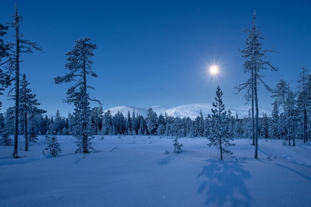
I recommend taking your time and spending more time at the top of the mountain to breathe the cleanest air in the world. If you’re going camping between May and August, you don’t have to worry about time either, because this will be a polar day in Lapland, when the sun barely sets below the horizon 24 hours a day.
The path is steep and rocky in places, so watch your step while you admire the wide-open fell landscape.
Kukastunturin kierros (Kukastunturi Fell Loop) is the longest and simply the most excellent trail in the southern part of the park on the Kukastunturi Fell. The trail begins and ends in the small village of Äkäslompolo, one of the tourist centers of the park, on the shore of the lake of the same name.
If you go counterclockwise, the trail starts with a walk through a pine forest. Then you have to overcome several ascents and descents, at which point you’ll arrive at the top.
But, take your time walking and save an extra hour of the hike to enjoy the panoramic views from the summit at 477 m (1,564 ft), sitting under the old-grown pine tree.
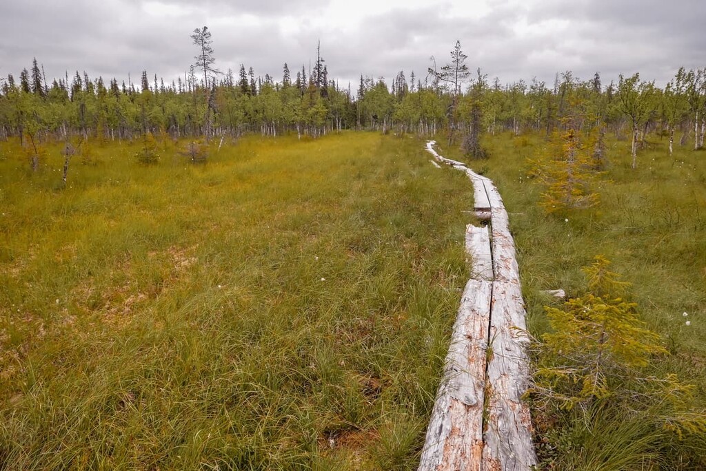
On the way back you will walk through a huge swamp on an equipped wooden trail Hormistonjänkä duckboard, one of the main features of hiking in Finland. It is a simple and amazing activity that you will remember for a lifetime.
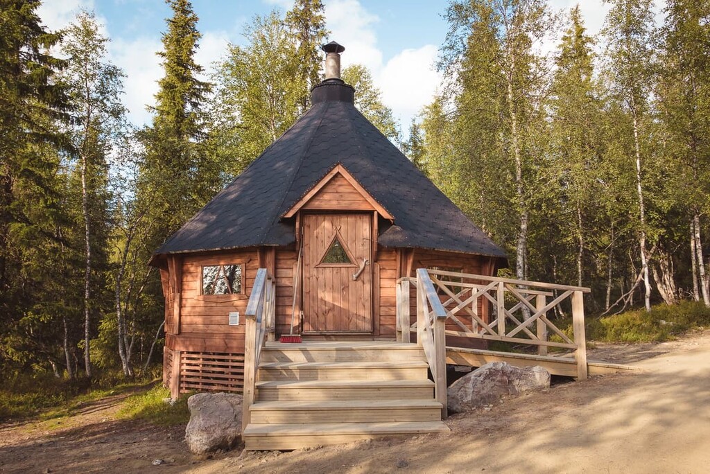
On the trail, there will be a traditional Sámi hut, the Hangaskuru hut. Here, you can rest and lunch with a campfire. As elsewhere in Lapland, the Sámi, the Indigenous peoples of Northern Europe, live in this region. For example, about one-fifth of the 1,800 inhabitants of the Enontekiö community identify as Sámi.
In addition to hiking in the Pallas—Yllästunturi National Park, you can do other sports and outdoor activities, such as geocaching, swimming, boating, fishing, cycling and mountain biking, canoeing and rowing, bird and wildlife watching, picking berries and mushrooms, and sauna.
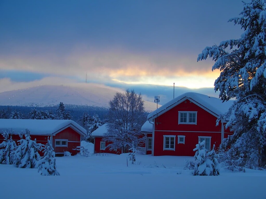
In winter, the national park is perfect for cross-country skiing. The total length of skiing trails in the Ounastunturi, Pallastunturi, and Yllästunturi Fells areas is 500 km (311 mi).
There are three visitor centers in the southern, central and northern parts of the Pallas—Yllästunturi National Park from which you can begin your journey. Before doing so, you can get more information about the trails, visit the exhibits, buy paper maps, book the forest huts, and just ask the incredibly helpful local staff for advice:
Yllästunturi Visitor Centre Kellokas
Tunturintie 54, 95970, Äkäslompolo (Kolari), Lapland, Finland
Open all year round with different days and hours. For example, from May 31 to October 3, 2021, open from Monday to Sunday from 9 am to 5 pm.
+358206397039
kellokas@metsa.fi
Pallastunturi Visitor Centre
Pallastunturintie 557, 99330, Pallastunturi (Muonio), Lapland, Finland
Open all year round with different days and hours. For example, from May 31 to October 3, 2021 open from Monday to Sunday from 9 am to 4 pm.
+358206397930
pallastunturi@metsa.fi
Fell Lapland Visitor Centre
Open all year round with different days and hours. For example, from May 31 to October 3, 2021 open from Monday to Sunday from 9 am to 5 pm.
Peuratie 15, 99400 Enontekiö, Lapland, Finland
+358206397950
tunturi-lappi@metsa.fi
You can get more information on the park’s page on the official website of the National Parks of Finland.
In Finland’s national parks, there are some simple rules of responsible travel that are important to know and follow:
You can:
You can also do these activities but with some restrictions:
You can't:
When hiking in Finland’s national parks, you can stay overnight in one of several basic types of temporary accommodation. In total, there are about a dozen of them. They differ in terms of conditions and rules, quantity, and cost..
In this park, there are 22 open wilderness huts with free beds for 1–2 nights and one lean-to shelter. It is a kind of a shelter with a roof, but no doors and windows, but it is possible to sleep in it during warm summer nights when there aren’t many insects (July to August).
There are also three reservable wilderness huts with a bed for €12 per person, per night, two rental huts, and one rental Sámi hut for €30 to €50 for 12 to 24 hours, respectively. But don't forget that another option for an overnight stay here is a tent.
You can find out more about overnight stays in the parks in the “Services” section of each park’s page on the official website of the national parks of Finland.
All the villages around the Pallas—Yllästunturi National Park offer rental cabins, camping grounds, hotels, B&Bs, so you shouldn’t have a problem finding a place to sleep before and after hiking, too.
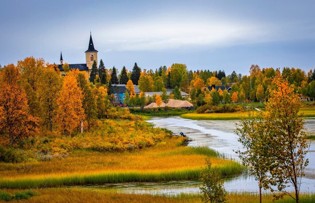
Unlike many other parks, even in central and southern Finland, which are difficult to reach due to their remote location from the nearest large settlements, Finland’s most popular park is surrounded by villages: Ylläsjärvi and Äkäslompolo in the south, Muonio in the west, Hetta (Enontekiö) in the north.
The most important village in the region is Kittilä. It is a tourist resort and a community of the same name south-east of the park. The town was founded in 1854 and it has a population of 6,438 as of 2020.
The town attracts primarily outdoor-minded people rather than urban tourists, thanks to its location between the two most popular ski resorts in Finland—Ylläs and the even larger Levi (nearest village: Sirkka). Therefore, the city has an airport served by Finnair and Norwegian Air—the two major airline companies of these countries.
The main cultural attractions of Kittilä are the art galleries Raekallio and Sibakow-Mansikka, the library Kirjasto, and the history museums Särestöniemi and Palsa.
This is because the general tradition of visual arts is strong in Kittilä. For example, Arto Paasilinna, maybe the most famous Finnish writer, and author of the great novel The Year of the Hare, about a journalist trying to escape from the city to nature (together with a hare), was born in Kittilä.
There is also an interesting baroque-style Kittilä wooden church built from 1829 to 1831, which features the 170-person Maria’s chapel. By the way, Finnish churches are often quite large, and this one is no exception.
The main natural attractions in the city are Haudanperä Lake and the Ounasjaki River, and of course the Lapland hills and forests that surround the city. Speaking more of nature, Kittilä is also famous as the place of the lowest recorded temperature in Finland: −51.5 °C (-60.7 °F). So, needless to say, it can get quite cold here during the winter months!
For more information, please check out the official tourist website of Kittilä.


The highest peak in Pallas-Yllästunturi National Park is Taivaskero, at 809 m.
Notable peaks in Pallas-Yllästunturi National Park include Taivaskero, Pyhäkero, Laukukero, Lehmäkero and Outtakka.


