Scan the QR code and open PeakVisor on your phone
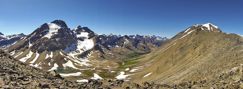
The Job/Cline Public Land Use Zone (Job/Cline PLUZ) is 1,378 square kilometers (532 square miles) of mixed-use recreation land located to the northwest of the city of Calgary, in Alberta, Canada. There are over 60 notable peaks in the area, the tallest of which is Mount Cline with an elevation of (3,361 m / 11,027 ft).
Job/Cline Public Land Use Zone (PLUZ) is a 345 km (207 mi) drive to the northwest of Calgary, Alberta, and it is located within Clearwater County. The PLUZ is also part of an area called the Bighorn Backcountry which is a multi-use recreation area consisting of the following parcels of public land:
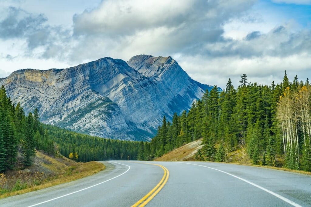
The main access to the area is Highway 11, and the closest town where services and accommodations are available is Rocky Mountain House, which is 130 km (78 mi) to the east of Job/Cline PLUZ.
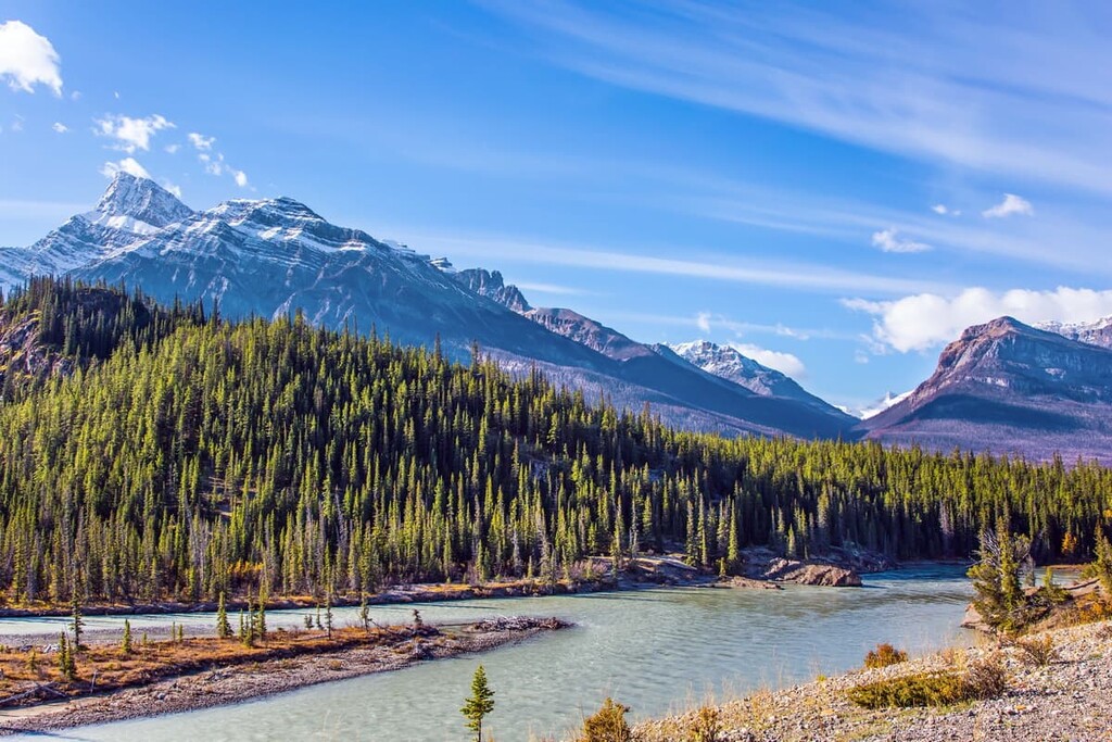
Jasper and Banff national parks, alongside the White Goat Wilderness Area, are all located to the west of the Job/Cline PLUZ. Meanwhile, the Siffleur Wilderness Area is located to the south. The rest of the public land use zones of Bighorn Backcountry are located to the east of Job/Cline.
The peaks within the Job/Cline PLUZ are part of the Rocky Mountains, which started forming approximately 75 million years ago during the Laramide orogeny. An orogeny is a mountain building event, and the Laramide orogeny was one of the major events that created the mountains of western Canada.
The cause of the orogenesis of the Western Cordillera was the subduction of several tectonic plates under the west coast of North America. In Canada, the first mountains to form were the Columbia Mountains, followed by the Coast Mountains and the Rocky Mountains.
Prior to the Laramide orogeny, shallow seas covered Job/Cline PLUZ. During this time, blue-green algae (cyanobacteria) formed calcite particles, and, as they died, the calcite accumulated as layers of sediment on the seafloor. The layers grew many kilometers thick and were compressed into the limestone that now composes the Rocky Mountains.
The mountains of Job/Cline PLUZ are massive slabs of Paleozoic limestone that were thrust over the much softer, Cretaceous sandstone and shale. These alternating layers of stone were stacked on top of each other as thrust faults broke and piled up, creating the many peaks of the PLUZ.
During the Pleistocene epoch, between 2.6 million and 11,700 years ago, Job/Cline PLUZ and the Rocky Mountains were covered with ice sheets upwards of a kilometer thick. Glaciers created much of the topography of the mountains by carving away the softer sandstone and shales that created the valleys and left behind the harder limestone peaks.
Additionally, glaciers left evidence of their passing in the region as distinct layers and piles of glacial till. Moraines, eskers, kames, and cirques are all formations found in and around Job/Cline that were created as glaciers scoured the mountains and deposited the rocks and rubble that they had removed.
The ecology of Job/Cline PLUZ is characterized by two subregions of the Rocky Mountain Natural Region: the Alpine and Subalpine Natural Regions. The alpine is the highest elevation of the mountains, which are above the treeline. Meanwhile, the subalpine is everything below the treeline in Job/Cline PLUZ.
The Alpine Natural Region of the Rocky Mountains is generally barren, rocky ground. Plants and animals are sparse in the alpine, consisting mainly of lichen covered rocks, grassy meadows, mat vegetation, shrubs, and krummholz.
Grouseberry grows in protected areas while sedges and heathers cling to the edges of snowbeds. Subalpine fir and Engelmann spruce in this region are stunted and twisted from the freezing winter winds. Lengthy snow cover and cold temperatures prevent most flora from thriving in the area.
Birds are the only animals known to regularly inhabit the alpine areas of Job/Cline PLUZ. White-tailed ptarmigan, gray-crowned rosy finch, horned lark, and the American pipit are found in the area during nesting season.
Bighorn sheep and mountain goats are the only large mammals that inhabit the alpine along with some smaller mammals that nest in the rocks, such as the hoary marmot and Columbian ground squirrel.
The lower elevations of the subalpine are warmer and less windy than the alpine region. This allows the subalpine to support significantly more flora and fauna when compared to the alpine. Forests of lodgepole pine dominate the lowest elevations of the PLUZ while subalpine fir, Engelman spruce, and larch are also found at higher elevations and along ridges.
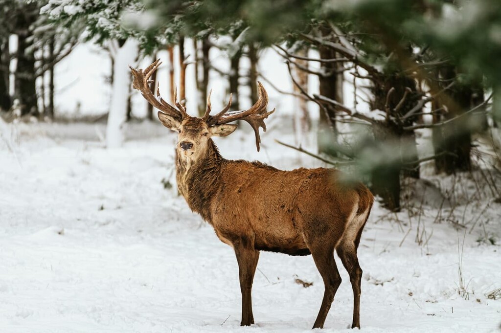
There are many recognizable animals that inhabit Job/Cline PLUZ. Large predators such as grizzly bears, black bears, cougars, and wolves make their home in the area. Additionally, ungulates such as elk, mule deer, white-tailed deer, and mountain sheep are also common in the region.
Job/Cline PLUZ is located in the area of an ancient ice-free corridor that once connected what is now Alaska and Yukon to the southern half of North America. About 12,000 years ago, as the region was being released from the glacial ice that had covered it for millennia, groups of people migrated into the area in pursuit of animals such as mastodons, camels, and giant bison.
Pre-European contact archaeological sites of note are found in the national parks to the west. A hunting camp in Banff National Park on the slopes of Mount Edith, which is over 10,000 years old, as well as sites in the Athabasca Valley in Jasper National Park, are particularly noteworthy destinations.
Most archaeological discoveries in the region occur during highway construction or oil and gas development. So, it is reasonable to assume that there are uncovered culturally significant sites in the area.
The eastern slopes of the Canadian Rockies, which includes Job/Cline PLUZ, is in an area of archaeological interest because it is on the border of the plains and the cordillera, which are distinct physiographic and cultural areas.
Job/Cline PLUZ is the traditional territory of the Cree, Métis, Ktunaxa, Stoney, Tsuu T’ina, and Blackfoot. Among the first Europeans to the area were David Thompson in the early nineteenth century and the Palliser Expedition of 1858.
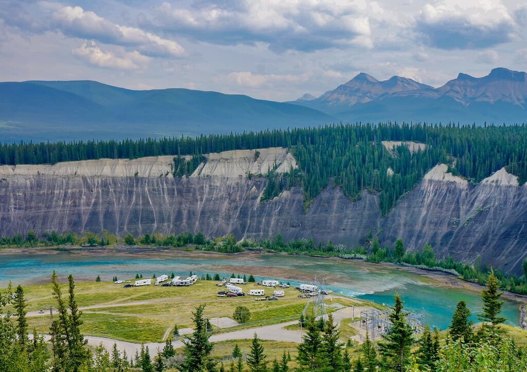
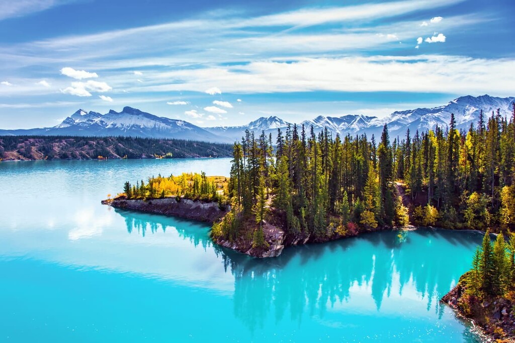
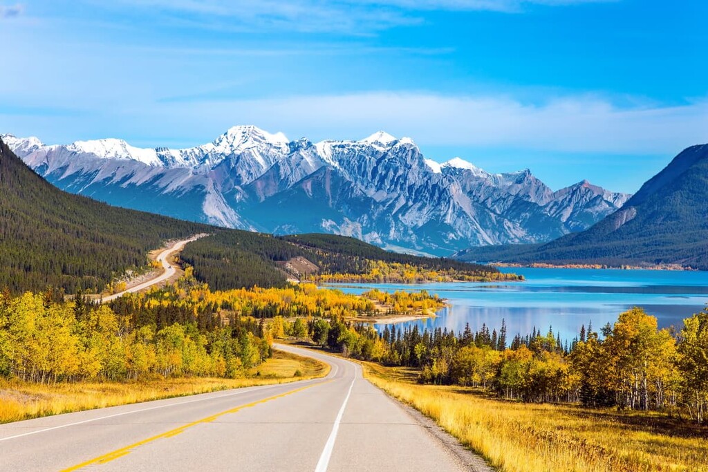
The land has remained relatively undeveloped, with forestry being the only significant industry to have occurred in the PLUZ. Job/Cline PLUZ borders Abraham Lake, which has since become a popular destination for random wilderness camping and OHV use.
With nearly 1,400 square kilometers (540 square miles) of mountainous wilderness, Job/Cline PLUZ has many activities and many interesting and unique areas for visitors to enjoy. Some of the activities in the park include hiking, skiing, equestrian, hunting, fishing, and OHV use. The following are several noteworthy trails and destinations:
The Job/Cline PLUZ has so many amazing trails and destinations that is would be possible to easily spend a week or more hiking through the area without crossing the same trail twice. Two fantastic destinations that are worth checking out are Lake of the Falls and Landslide Lake.
Both lakes are about 20 km (12 mi) from a trailhead, though the trail has nearly 1,400 m (4,600 ft) of elevation gain along the way. The trail is considered difficult; however, for those that appreciate backcountry solitude and the views of serene mountain lakes, this trail is worthwhile.
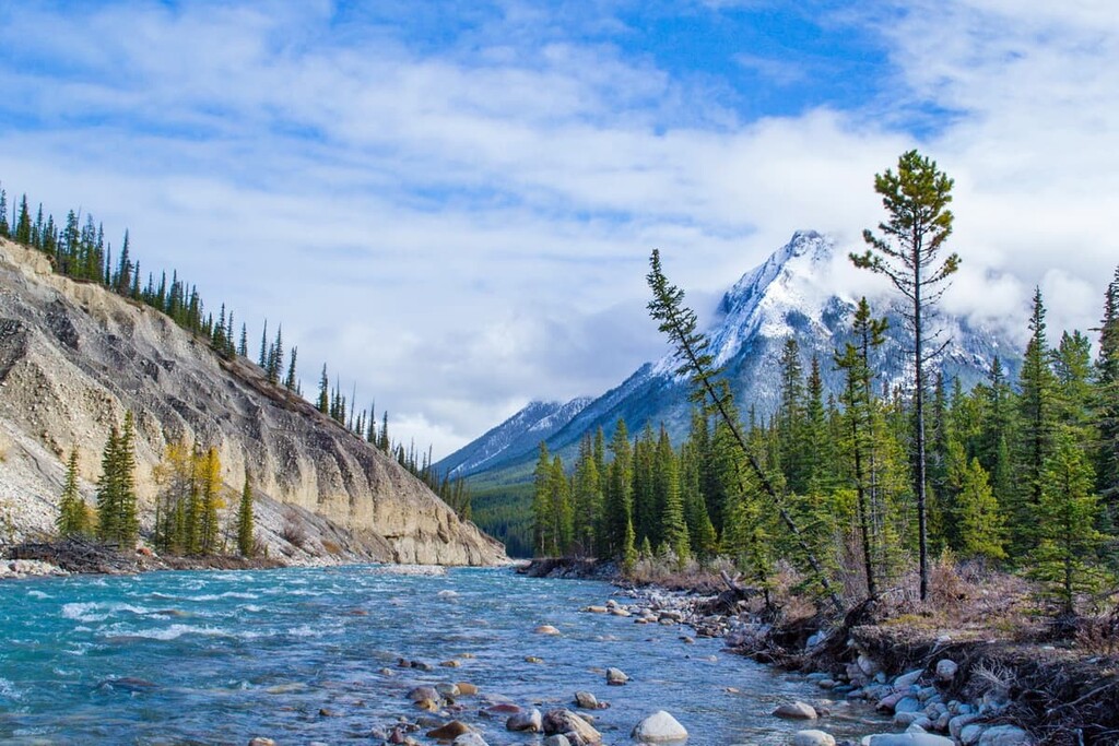
Both trails start by following the Cline River from Abraham Lake; however, Lake of the Falls is on the west side of Mount Hensley while Landslide Lake is on the east. Random camping is permitted and there are areas at the lakes as well as along the trail that make good campsites.
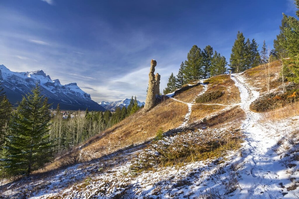
The Hoodoo Creek Trail climbs 607 m (1,991 ft) in under 3 km (1.8 mi) and is considered a moderate hike. This hike aptly named hike follows Hoodoo Creek to view some hoodoos, which are spires of rock with easily eroded columns and a resistant cap. Hiking up a creek can be a fun experience as you try to keep your feet dry. Additionally, the end of the trail has some exciting terrain to practice scrambling.
It is always exciting to summit a peak and check it off the list. In Job/Cline PLUZ there are several peaks that visitors can hike to that don’t require scrambling or mountaineering. Tuff Puff, Mount Ernest Ross, Two O’Clock Ridge, and Whirlpool Ridge all have hiking trails to the top.
While all these trails are difficult, they are hikes and not scrambles and the views are fantastic. All these peaks overlook the North Saskatchewan River and the Kootenay Plains of the Siffleur Wilderness Area.
Job/Cline PLUZ if filled with scenic mountain terrain and hundreds of kilometers of backcountry trails. The area is especially popular with residents of central Alberta; however, visitors travel great distances to spend some time camping along the shores of the beautiful Abraham Lake. The following are some options for accommodation or the best places to get supplies while on the road.
While visiting Job/Cline PLUZ, Rocky Mountain House will likely be the last major town you pass through on your way to the backcountry. The town is located about 130 km (78 mi) to the east of the PLUZ and has stores and accommodations.
In the Rocky Mountain House, you will be able to find any food and gear that you may need for your adventure. There are also shops that can repair almost any piece of gear or equipment that you might break while adventuring, from OHVs to trucks and trailers.
Calgary is about 350 km (210 mi) southeast of Job/Cline PLUZ and it is the largest city in Alberta. Calgary offers a range of accommodations for visitors as well as some great local attractions.
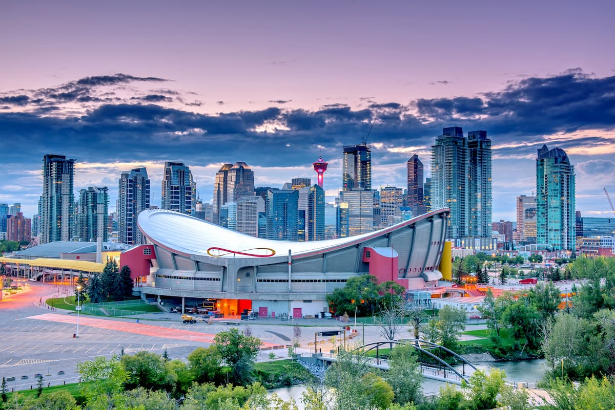
The most famous event in Calgary is the annual Calgary Stampede, the self-proclaimed “Greatest Outdoor Show on Earth.” Running for 10 days every July, the Stampede has a midway, shows, concerts, rodeo, chuckwagon races, as well as the nightly Grandstand Show and fireworks.
For the days when you’re not here for major events or on the mountain trails, there are hundreds of kilometers of trails that connect most of the parks and greenspaces around Calgary. The largest natural areas in the city are Nose Hill Park in the north of Calgary, and Fish Creek Provincial Park, in the south of the city. Other nice places for a walk or cycle are around the Glenmore Reservoir and by the Bow River at the Inglewood Bird Sanctuary.
While Job/Cline PLUZ is within a reasonable range for a day trip, one of the more popular ways to explore this area is by camping along Abraham Lake and taking more time to explore the trails through the mountains. There are campgrounds and facilities along Highway 11 and random camping is available.
Random camping is how locals refer to camping in the wilderness, outside of designated sites, either with a vehicle or hiking. While random camping, care should certainly be taken to leave no trace and to leave the wilderness in the same or better condition than your arrival. Nevertheless, random backcountry camping while hiking is an exciting way to spend time in this remote wilderness area.
Some designated campsites in the region have facilities while others are rustic campgrounds. Despite this, it is important to be able to be totally self-sufficient and adhere to Leave No Trace guidelines while random camping in the PLUZ. Rocky Mountain House is the nearest town with commercial facilities if you need something while camping.