
Scan the QR code and open PeakVisor on your phone
Home to some of the most beautiful alpine terrain in the Sierra Nevada Range, Eldorado National Forest is a federally protected region in the US state of California and Nevada. It contains 96 named mountains, the highest of which is Round Top (10,384ft/777m), and the most prominent of which is Pyramid Peak (9,977ft/3,042m).
Eldorado National Forest covers some 932 square miles (2414 sq. km) of land and is located along California’s border with Nevada. It is mostly contained within El Dorado County but parts of it are also located within Amador, Alpine, Placer, and Douglas Counties.
The national forest is located to the southwest of Lake Tahoe in the eastern Sierra Nevada. It is bordered to the north by the Granite Chief Wilderness of Tahoe National Forest and to the south by the Carson-Iceberg Wilderness of Stanislaus National Forest. The southeasternmost corner of Eldorado National Forest is also bordered by the Humboldt-Toiyabe National Forest.
Eldorado National Forest is managed by ranger headquarters in Placerville, California as well as by local ranger offices in Georgetown, Pollock Pines, Pioneer, and Camino. Within the forest, there are two wilderness areas: the Desolation Wilderness and the Mokelumne Wilderness, the latter of which extends into Stanislaus National Forest.
Some of the best-known peaks in the forest include Round Top, The Sisters, Pyramid Peak, Dicks Peak, Mount Price, Jacks Peak, and Lover’s Leap, which is a famous climbing area.
The bedrock of the Eldorado National Forest is part of the Sierra Batholith. The Sierra Batholith is a massive collection of igneous plutons that formed as magma cooled underground when the Farallon Plate subducted under the North American Plate.
However, the mountains in the region formed later, during the Nevadan orogeny of the Middle Jurassic and Early Cretaceous periods. This mountain building event created the Sierra Nevada Range as well as the Klamath Mountains.
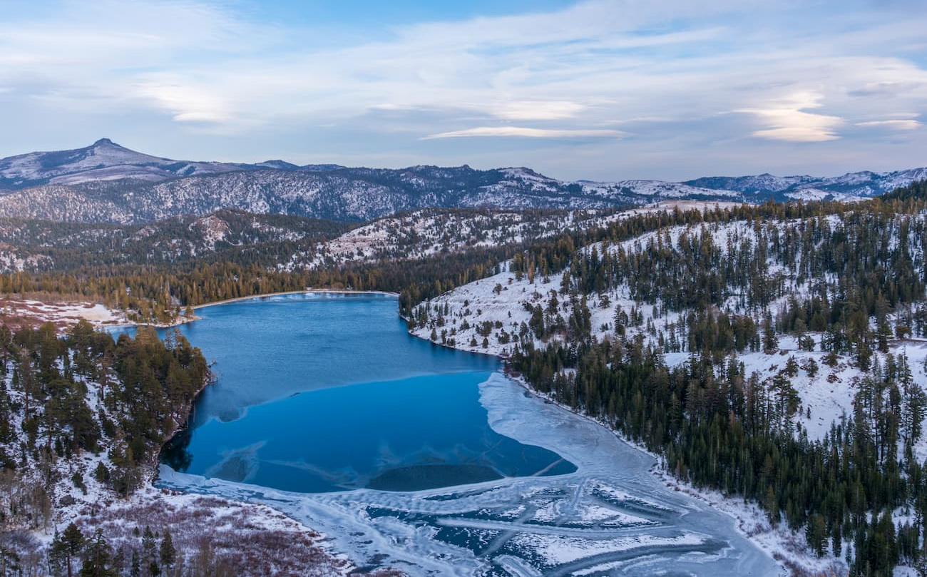
But the most distinctive features of the Eldorado National Forest, such as roche moutonnées, massive basins, and erratics were carved out and deposited by glaciers and ice sheets during the Pleistocene glaciation.
The Eldorado National Forest has a cooler Mediterranean-type climate that produces warm, dry summers and cold, wet winters. It normally has snow above 6,000 feet (1,800m) between December and May.
Within the forest, there are mixed stands of conifers and hardwoods, including coast Douglas-fir, ponderosa pine, lodgepole pine, white fir, and red fir. In fact, there are about 122,000 acres (49,000 ha) of old-growth forest still left in Eldorado National Forest.
At lower elevations, the forest is dominated by chaparral and oak woodlands, as well as lower montane forests of ponderosa pine and Jeffrey pine. There are also other tree species, such as sugar pine and incense cedar, which are commercially logged within the forest.
As far as wildlife goes, the Eldorado National Forest is home to a diversity of different mammals, including coyotes, badgers, wolverines, pine martens, bobcats, mule deer, and black bears. The forest’s many rivers, streams, and lakes, are also home to an abundance of fish, particularly rainbow and brook trout, which are popular amongst anglers.
The Eldorado National Forest is considered the ancestral homeland of a number of different native people, including the Washoe, Yokut, Wintun, and Miwok, among countless others. In particular, the Washoe lived throughout the Great Basin and the Lake Tahoe Basin until the arrival of European and European-American settlers in the 19th century.
During the 19th century, the Tahoe Basin became inundated with non-native settlers, many of whom came in search of gold. The southern part of the Eldorado National Forest in and around what would become Mokelumne Wilderness was also particularly popular among prospectors after gold was discovered at Mokelumne Hill in 1848.
The Eldorado National Forest was created in 1910 by combining portions of the Tahoe National Forest and the Stanislaus National Forest. At the time of its creation, the land managers of Eldorado National Forest were particularly concerned about illegal sheep grazing, which was having a negative impact on the landscape.
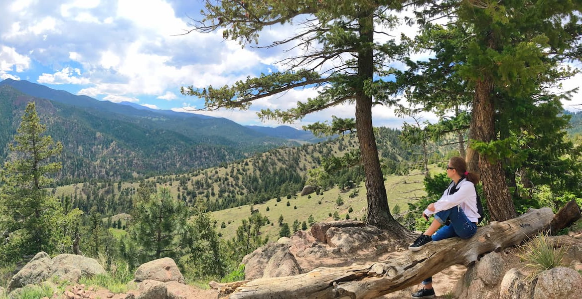
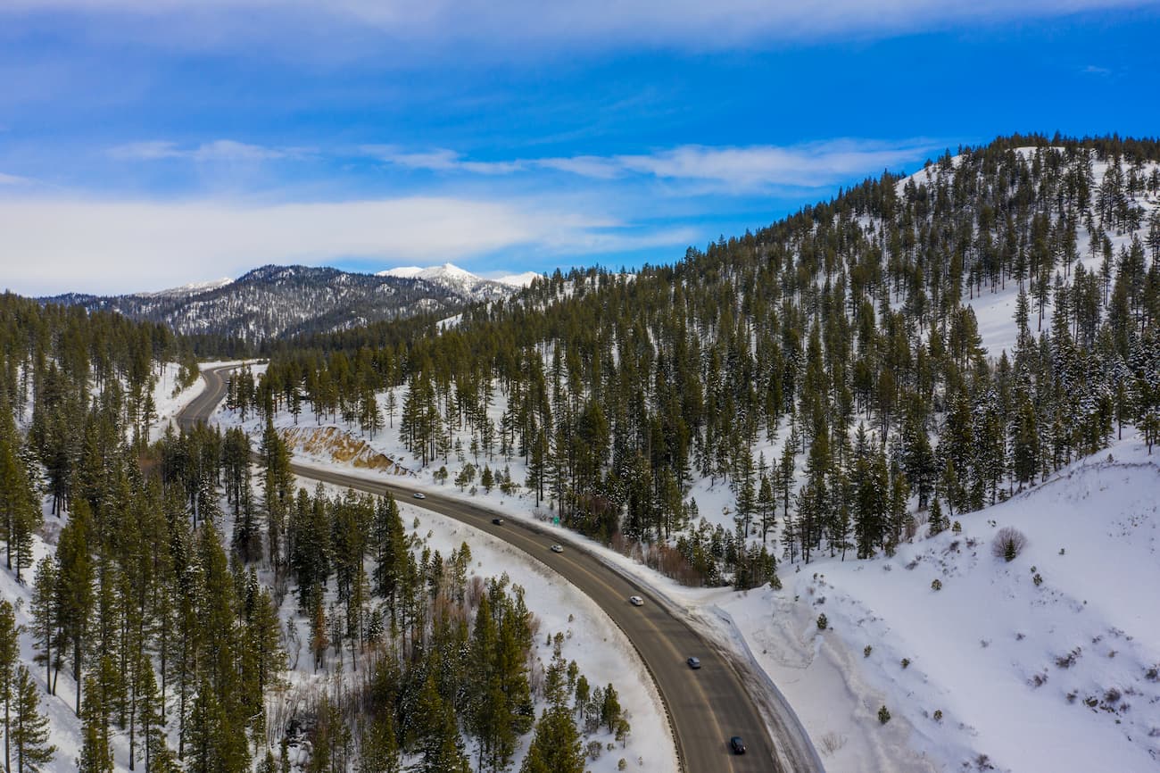
Eldorado National Forest has hundreds of miles of hiking trails and countless opportunities for outdoor recreation. Here are some of the main places to check out:
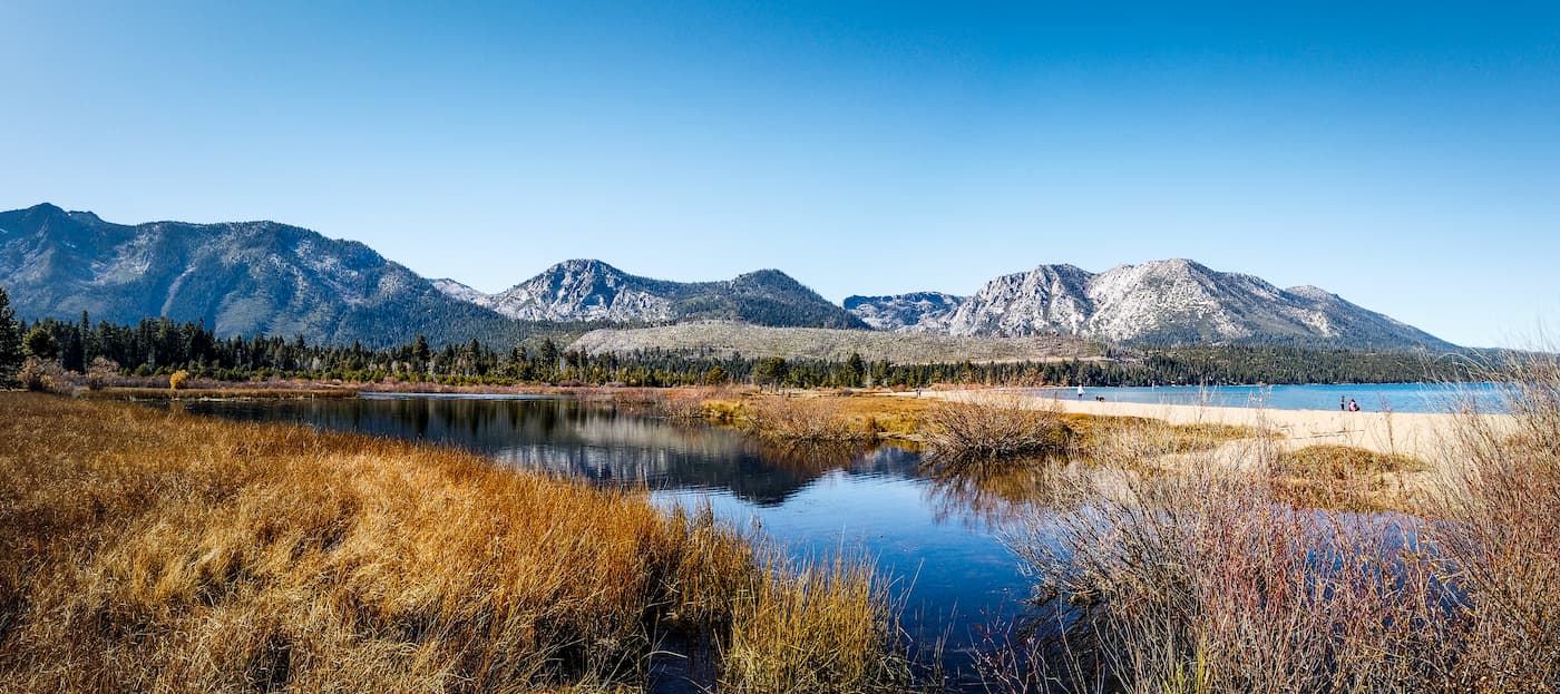
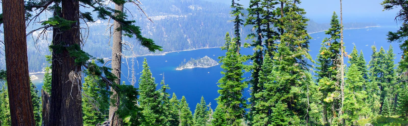
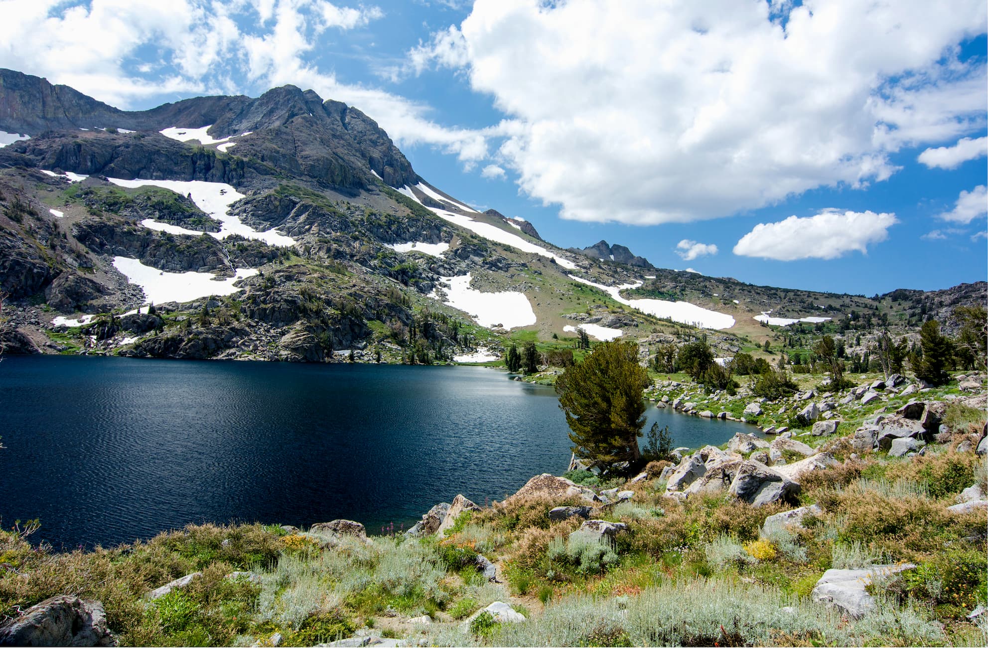
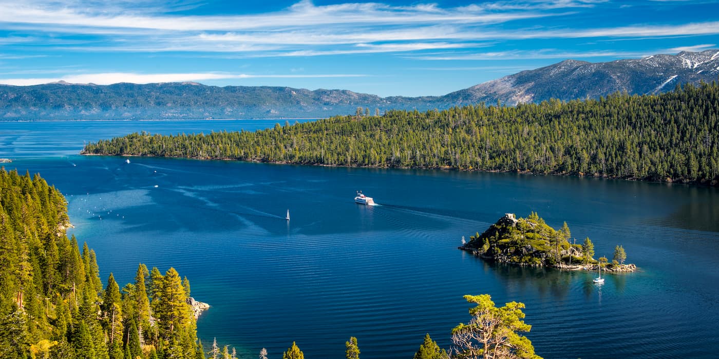
The famous Desolation Wilderness is located in the northern part of Eldorado National Forest along the southwestern border of Lake Tahoe. It is home to 22 named mountains, the highest of which is Pyramid Peak, though it also includes many of the other notable peaks in the forest, such as Mount Tallac and Maggies Peaks.
The Desolation Wilderness is known for its stunning rock formations, many alpine lakes, and abundance of wildlife. Visitors to the wilderness are required to have a permit and must abide by strict regulations to help protect the region’s fragile landscape. Day-use permits are free and self-issued at most trailheads while overnight permits should be reserved online.
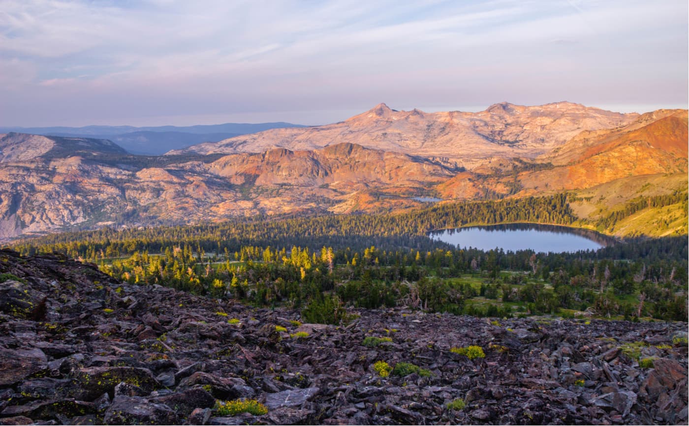
The Mokelumne Wilderness is located in the southern part of the Eldorado National Forest along its border with the Stanislaus National Forest and Humboldt-Toiyabe National Forest. It is home to 13 named mountains, the highest and most prominent of which is Round Top.
The Mokelumne Wilderness is known for its rugged landscape, peaks, and rivers. In particular, the Mokelumne River and its canyon are popular amongst visitors, though the rest of the wilderness is generally quite dry.
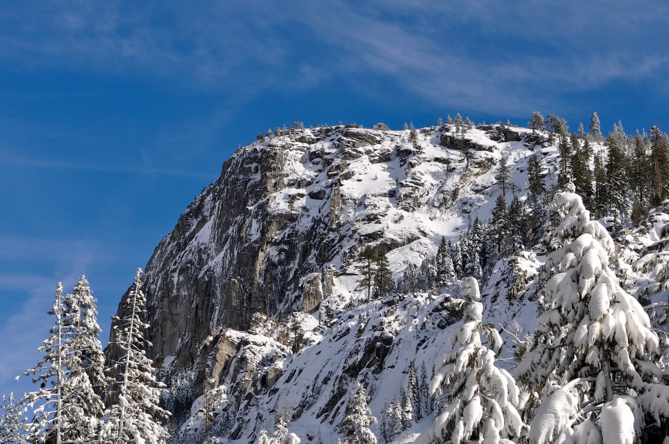
Lover’s Leap is a large granite cliff located within Eldorado National Forest. It is about 0.3 miles (0.6km) long and ranges in height between 250-600 feet (76-183m).
The cliff has been a popular climbing area since Bruce Cooke established the first route on Lover’s Leap in 1950. Since then, over 150 climbing routes have been established on the cliff, including Traveler Buttress, which is featured in the book Fifty Classic Climbs of North America.
Here are some of the best places to stay before or after your trip to Eldorado National Forest:
South Lake Tahoe is located on the southern shores of Lake Tahoe and is home to over 20,000 people. It is the closest big city to the Eldorado National Forest and offers prime access to the region’s many trails. The city has a bustling tourism industry and is a popular hotspot for outdoor recreation.
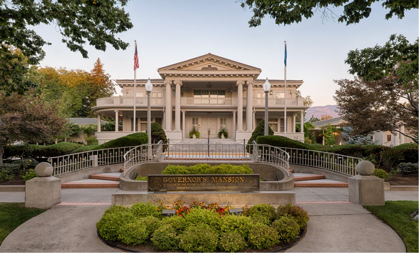
Carson City is situated just on the eastern side of the California/Nevada border near Lake Tahoe. It is home to over 55,000 people and is a short drive to trailheads within the Desolation Wilderness and the rest of the Eldorado National Forest. Carson City is easily accessible by road and is a good intermediary between the national forest and the airport in Reno.
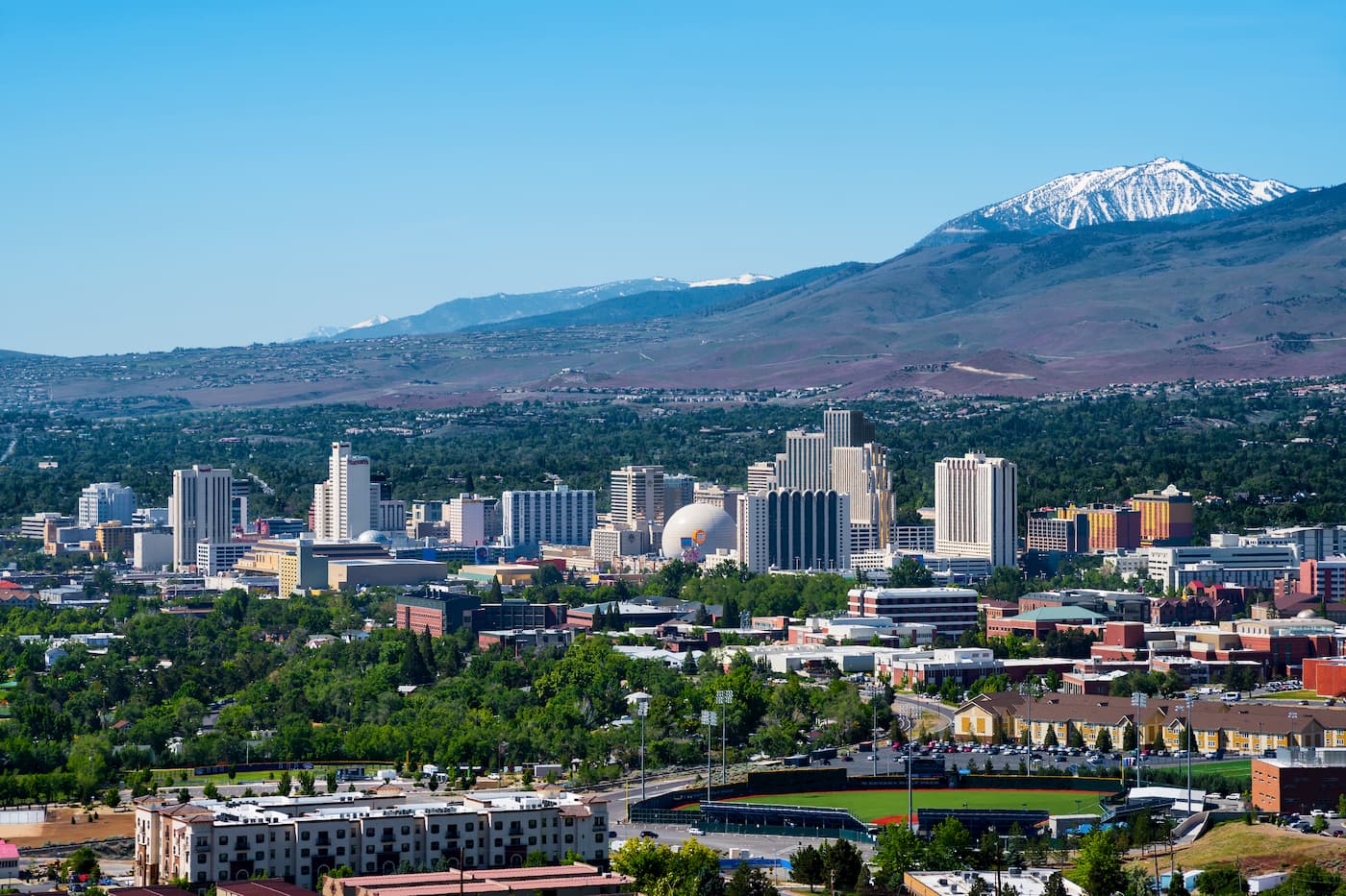
Reno is the second-largest city in Nevada with over 225,000 residents. It is just a short drive to the northeast of Lake Tahoe, making it an ideal place to start an adventure to the Eldorado National Forest. It is known for its casino and tourism industry, as well as its major international airport and good highway connections to other big cities.


western-state-climbers
western-state-climbers-emblem
sierra-club-sierra-peaks-section
sierra-sampler
tahoe-ogul
western-state-climbers
western-state-climbers-emblem
sierra-club-sierra-peaks-section
sierra-sampler
tahoe-ogul
western-state-climbers
western-state-climbers-star
sierra-club-sierra-peaks-section
tahoe-ogul


