Scan the QR code and open PeakVisor on your phone
The Humboldt-Toiyabe National Forest, which protects over 6.3 million acres, is the largest National Forest in the contiguous United States. The forest is located mostly in Nevada but also stretches into a small portion of eastern California. The Humboldt and Toiyabe National Forests were administratively joined in 1995, though they remain both legally and geographically distinct. Interestingly, however, the Humboldt-Toiyabe National Forest contains several non-contiguous sections of land.
The Humboldt National Forest is smaller than Toiyabe and is located mostly in eastern and northern Nevada. This section of wilderness contains about 43.5% of the total National Forest and spans Elko, White Pine, Humboldt, Nye, and Lincoln counties. There are 13 designated wilderness areas in the Humboldt National Forest.
The Toiyabe National Forest, which contains about 56.5% of the total area, is located in central, western, and southern Nevada, as well as parts of eastern California. Toiyabe contains 10 designated wilderness areas.
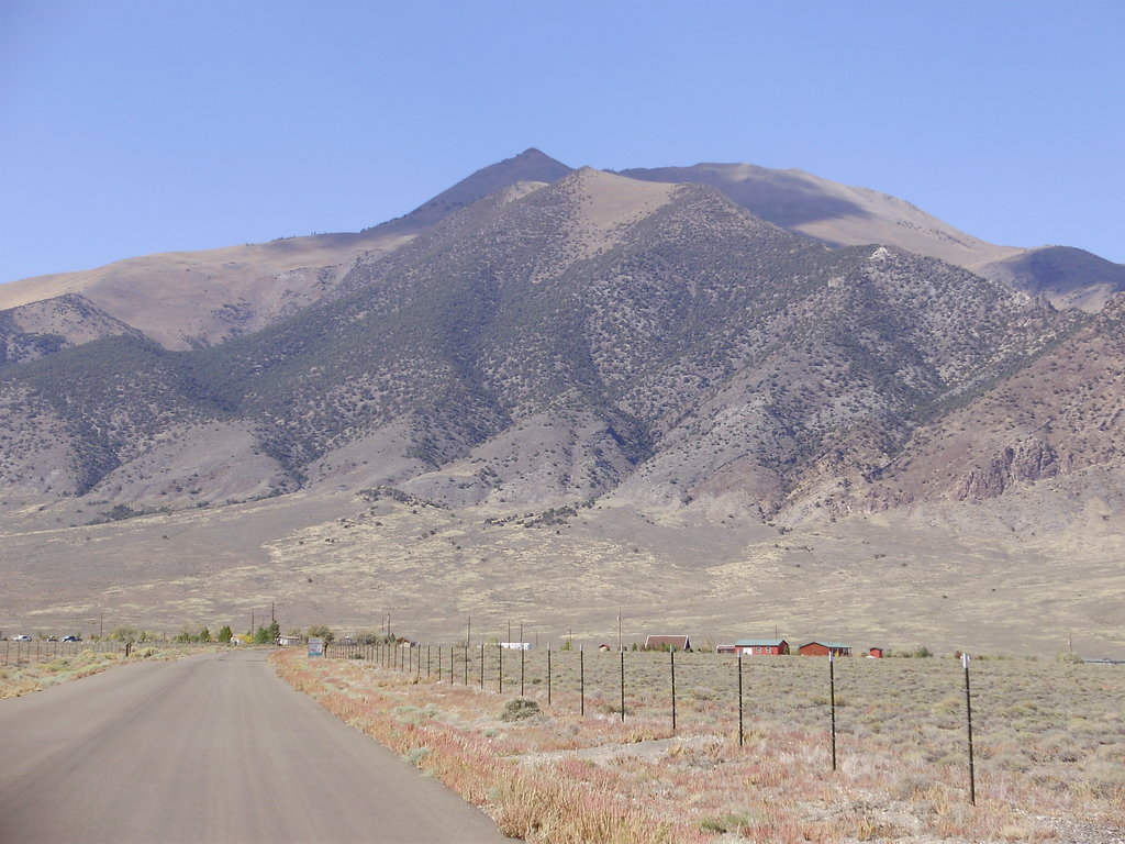
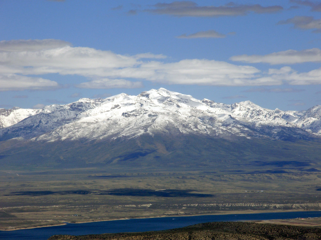
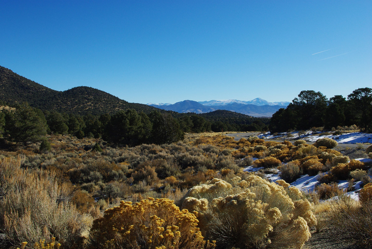
Collectively, the Humboldt-Toiyabe National Forest is incredibly diverse, featuring towering snow-capped summits and vast spans of flatland and desert terrain. Elevations range from just 4,000 feet to over 12,000 feet at the top of Dunderberg Peak in the Hoover Wilderness. The forest also exhibits a dramatic variation in climate and sees temperature fluctuations ranging from below zero to 120 degrees Fahrenheit, depending on the season.
There are over 200 named mountains and several striking mountain ranges, like the Toiyabe Range, White Pine Range, North Schell Range, Egan Range, and Schell Creek Range, located in the Humboldt-Toiyabe National Forest. Alpine regions of the forest, like those near the Ely Ranger District and Bridgeport Ranger District, contain prominent summits like South Schell Peak, Currant Mountain, Duckwater Peak, Mount Moriah, and Ward Mountain.
The Humboldt-Toiyabe National Forest is divided into seven ranger districts – The Austin-Tonopah District, Bridgeport Ranger District, Carson Ranger District, Ely Ranger District, Mountain City-Ruby Mountains-Jarbidge Ranger District, Santa Rosa Ranger District, and Spring Mountains National Recreation Area Office. Each ranger district offers the public information and assistance in finding outdoor recreation opportunities within its particular area.
The Austin-Tonopah Ranger District is located in central Nevada and contains over 2.1 million acres of the Humboldt-Toiyabe National Forest. This district contains two offices – the Austin office and Tonopah office. Tonopah sits halfway between the major metropolitan cities of Reno and Las Vegas. Despite being the largest ranger district in the lower 48, just a handful of designated hiking trails exist in this region. In fact, a portion of the “Loneliest Road in America,” stretches through this district.
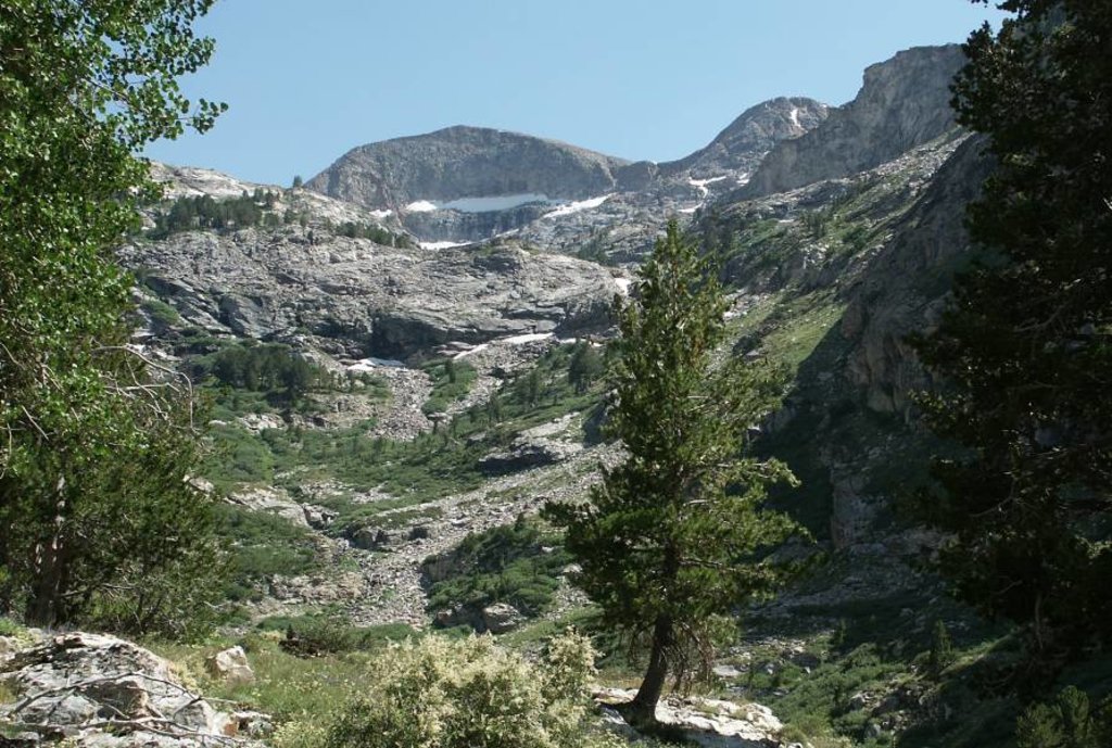
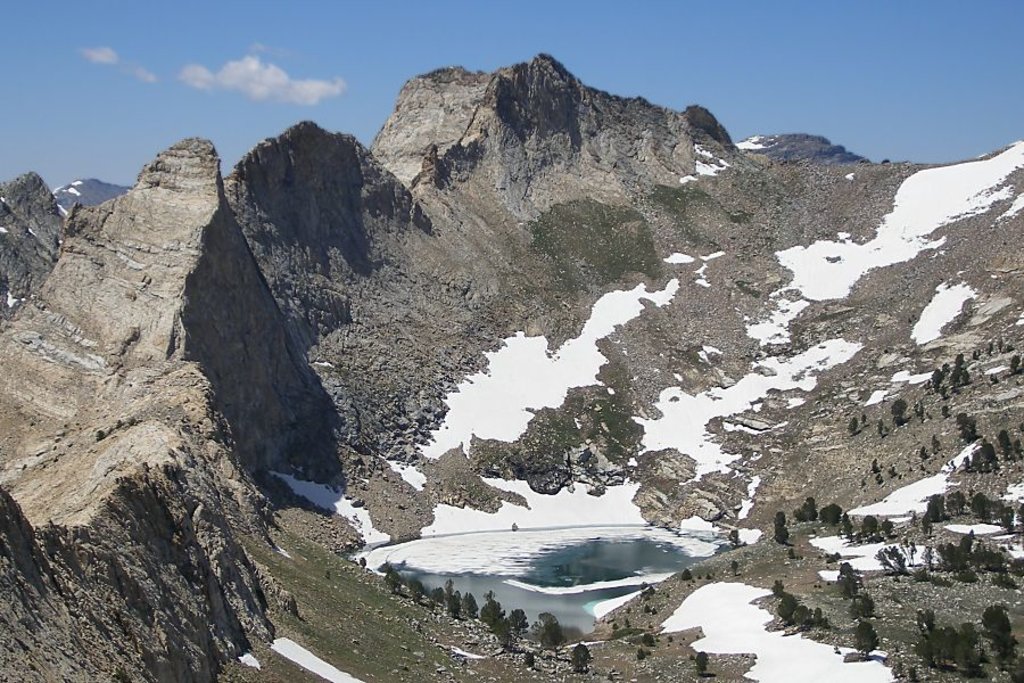
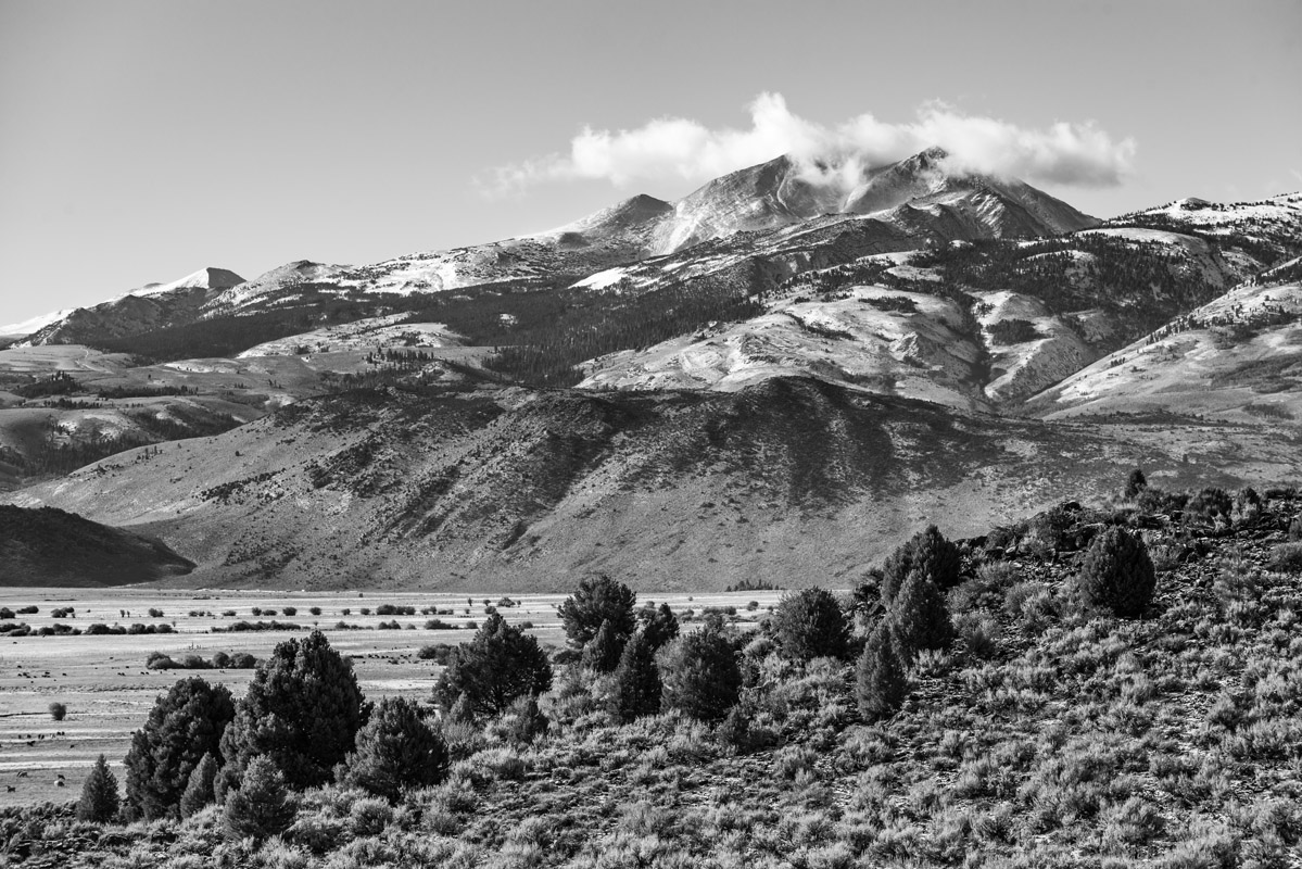
The Bridgeport Ranger District is a popular destination for hikers and backpackers looking to explore the Eastern Sierra Nevada and western Great Basin. This district contains 1.2 million acres and spans five mountain ranges. The scenery within the Bridgeport Ranger District is spectacular, ranging from snow-capped summits to crystalline alpine lakes. Points of interest include the Highway 395 corridor, Sonora Pass, Hoover Wilderness, Matterhorn Peak, the Sweetwater Mountains, Bald Peak, Mount Hicks, and Bodie Hills. Outdoor recreation is particularly high in areas that border Yosemite National Park.
The Carson Ranger District sits near Carson City and contains 400,000 acres of both Nevada and California wilderness. This district is best-known for its proximity to Lake Tahoe, but it also contains three wilderness areas – Carson-Iceberg Wilderness, Mokelumne Wilderness, and Mount Rose Wilderness. Popular hiking and biking trails in this area include portions of the Pacific Crest Trail, the Tahoe Rim & Flume Trail, and Flume Loop. Hikers can follow the PCT from Sonora Pass to Ebbetts Pass through the Carson-Iceberg Wilderness, explore volcanic peaks, and hang out along the shore of glassy blue lakes in the Carson Ranger District.
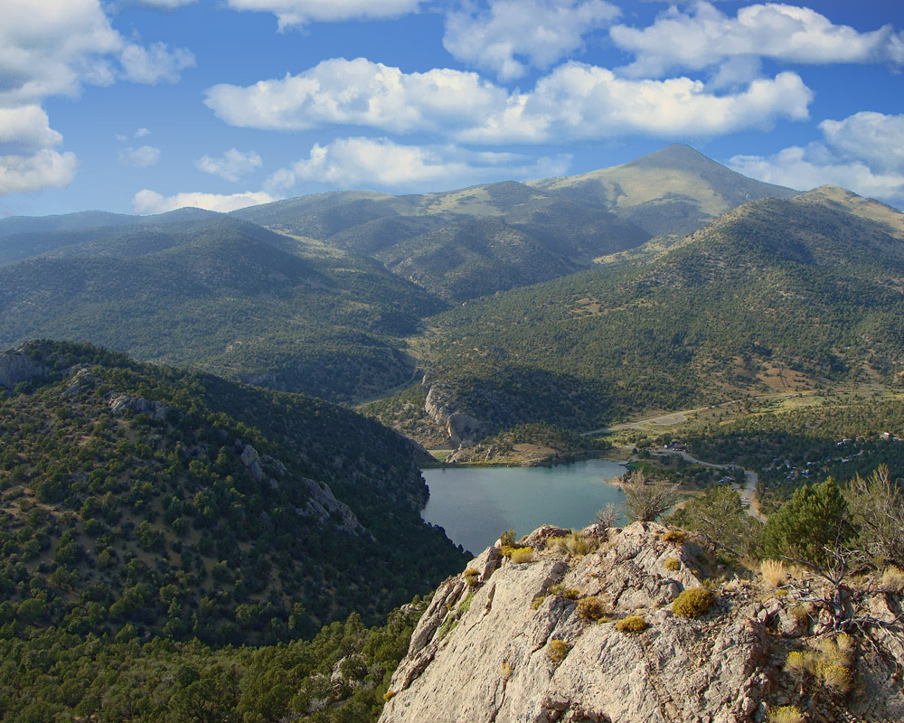
The Ely Ranger district contains a million acres of wilderness and is known as a primitive outdoor recreation destination. Historically, this region has been used for grazing, mining, and large-scale restoration projects. Just a few trails and campgrounds exist in this region, but the Cave Lake State Park, a popular destination for fishing and camping, is nearby.
Mountain City-Ruby Mountains-Jarbidge Ranger District This district contains both the Mountain City and Ruby Mountains-Jarbidge Ranger Districts. Located in northeastern Nevada, this 1.1 million-acre district is infamous for historic mining and ranching, big game hunting, and a variety of both dispersed and developed recreation opportunities. The Ruby Mountains region, in particular, contains the Ruby and East Humboldt Mountain ranges and offers a variety of hiking trails and campgrounds. Jarbidge, on the other hand, is relatively undiscovered and is ideal for adventurers looking to get further off the grid.
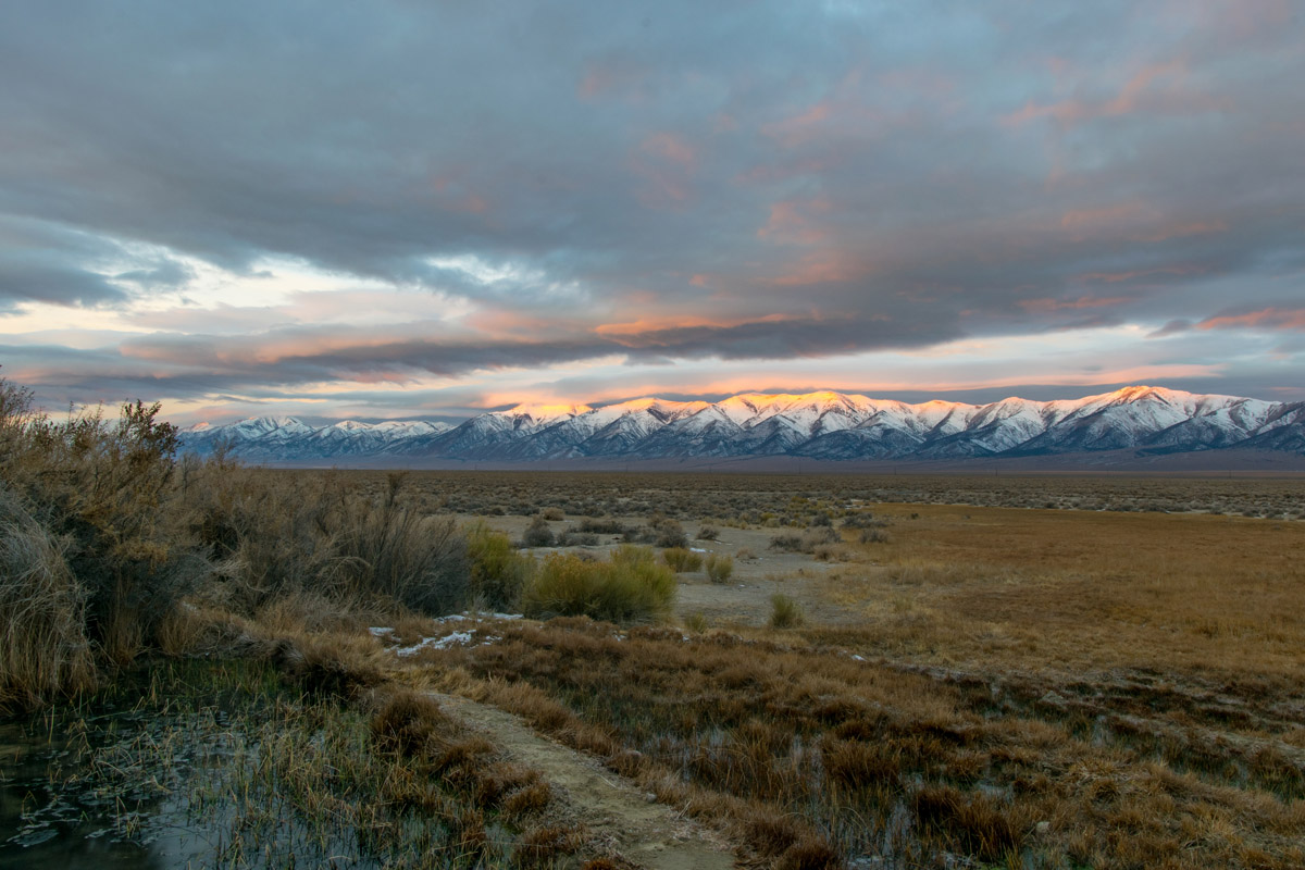
Located in Winnemucca, Nevada, the Santa Rosa Ranger District encompasses 290,000 acres of mountains and plateaus. Elevations in this region range from 5,000 to 9,700 feet. The Santa Rosa-Paradise Peak Wilderness is found within the Santa Rosa Ranger District and contains the high ridge on the South end of the Santa Rosa Mountains in Northern Nevada. Prominent peaks in this area include Santa Rosa Peak, the highest peak in the Wilderness, Paradise and Singas peaks. This wilderness area is rarely visited and is devoid of alpine meadows, lakes, and forests. Instead, visitors travel to Santa Rosa to experience rugged granitic rock formations and stunning spring wildflowers.
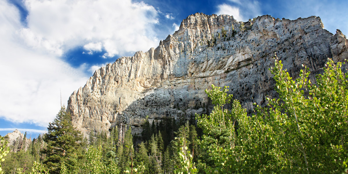
Known as ‘Mount Charleston,’ to locals, the Spring Mountains National Recreation Area is Las Vegas locals’ recreation playground. Spring Mountains contains 317,000 acres of wilderness and receives over a million visitors each year. Just 45 minutes from downtown Las Vegas, Mount Charleston and the Spring Mountains offer visitors a welcome reprieve from the desert heat, particularly in the winter. Most skiers and snowboarders look forward to spending time at the Las Vegas Ski and Snowboard Resort, while backpackers, hikers, and bikers appreciate the Mt. Charleston Scenic Byway, Bristlecone Trail, Bonanza Trail, and other scenic footpaths in the area.