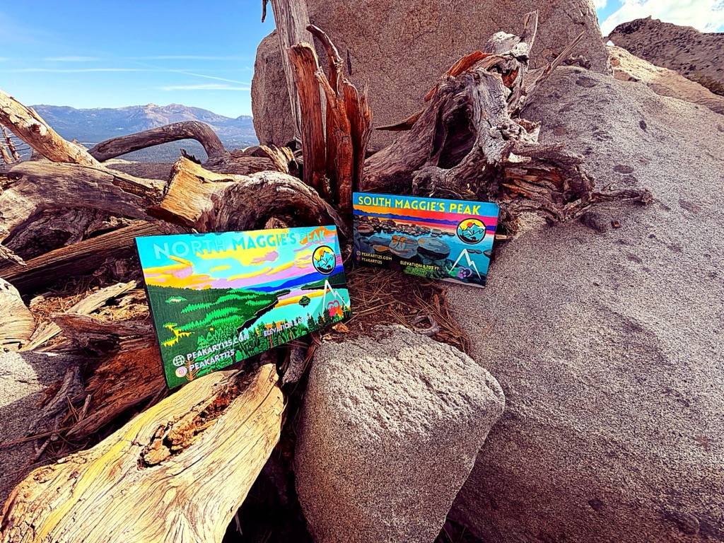
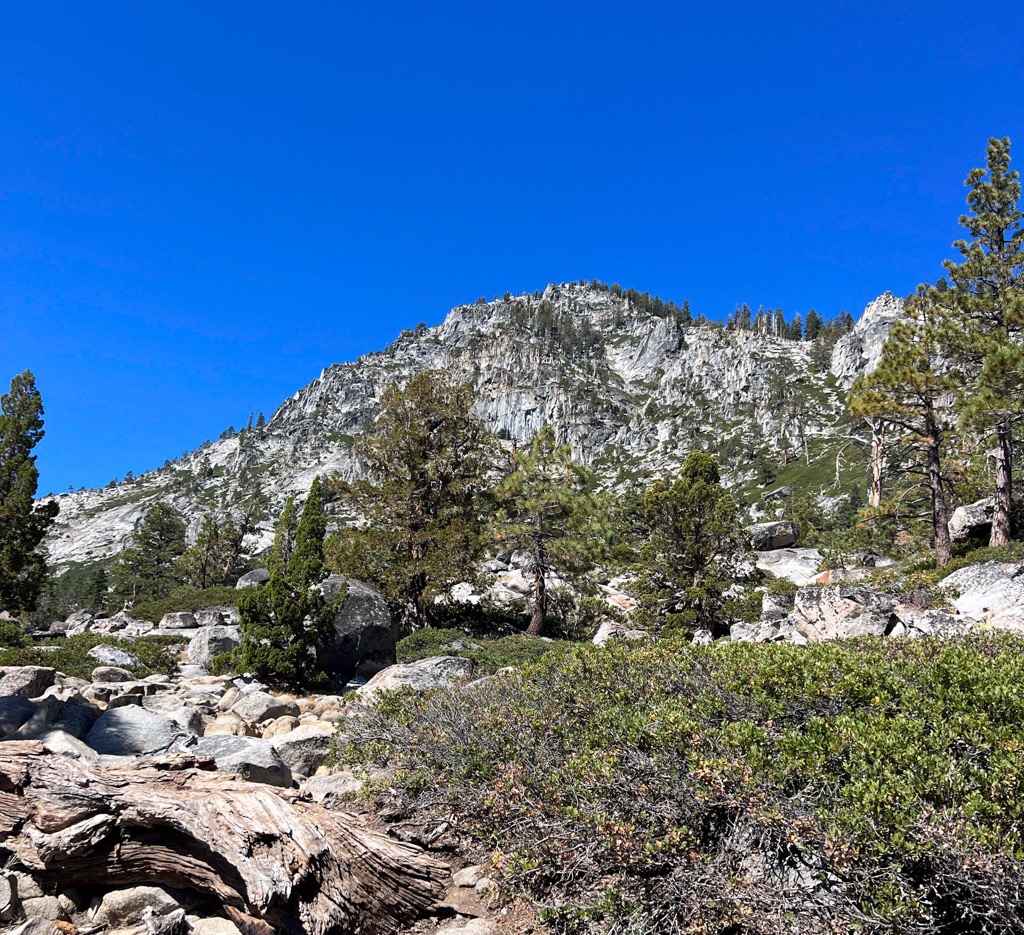
Maggies Peaks refers to a mountain in the Sierra Nevada mountain range, southwest of Lake Tahoe. There are two peaks on the mountain about 0.7 miles (1 km) apart. The northern peak has an elevation of about 8,499 feet (2,590 m) and the southern peak has an elevation of 8,703 feet (2,653 m). The mountain is located in the Desolation Wilderness in El Dorado County, California. The summits overlook Lake Tahoe and affords very good views of the lake.
There's a hiking trail (T2) leading to the summit.
By elevation Maggies Peaks is
# 27 out of 166 in El Dorado County # 19 out of 26 in Desolation Wilderness
By prominence Maggies Peaks is
# 21 out of 166 in El Dorado County # 9 out of 26 in Desolation Wilderness
We use GPS information embedded into the photo when it is available.
3D mountains overlay
Adjust mountain panorama to perfectly match your photos because recorded by camera photo position might be imprecise.
Move tool
Rotate tool
Zoom
More customization
Choose which peak labels should make into the final photo and what photo title should be.
Next
Photo Location
Satellitte
Flat map
Relief map
Latitude
Longitude
Altitude
OR
Latitude
°'''
Longitude
°'''
Apply
Register Peak
Peak Name
Latitude
Longitude
Altitude
Register
Teleport
PeakVisor
This 3D model of Sagarmatha National Park in Nepal was made using the PeakVisor app topographic data. The mobile app features higher precision models worldwide, more topographic details, and works offline. Download PeakVisor maps today.
Download OBJ model
PeakVisor
The download should start shortly. If you find it useful please consider supporting the PeakVisor app.
PeakVisor for iOS and Android
Be a superhero of outdoor navigation with state-of-the-art 3D maps and mountain identification in the palm of your hand!