
Scan the QR code and open PeakVisor on your phone
Straddling both sides of the rugged Sierra Nevada mountains, the Carson-Iceberg Wilderness is a federally-protected area in the eastern part of the US state of California. Carson-Iceberg contains 30 named mountains, the highest of which is Sonora Peak (11,457ft/3,492m), and the most prominent of which is Highland Peak (10,922ft/3,329m).
The Carson-Iceberg Wilderness contains 250.9 square miles (650 sq. km) of land in Alpine and Tuolumne Counties near California’s border with Nevada. It is managed as part of both Stanislaus National Forest and the Humboldt-Toiyabe National Forest as a federally-designated wilderness area.
It is located amongst a significant portion of other publicly-owned lands. To the south, Carson-Iceberg is adjacent to both the Emigrant and Hoover Wildernesses. Meanwhile, the Mokelumne Wilderness of Eldorado National Forest is located just north of Carson-Iceberg.
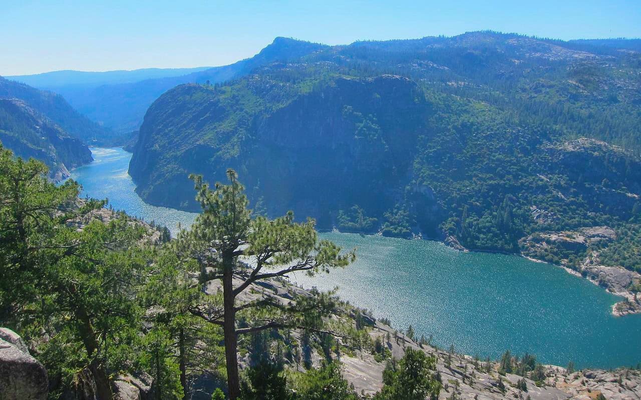
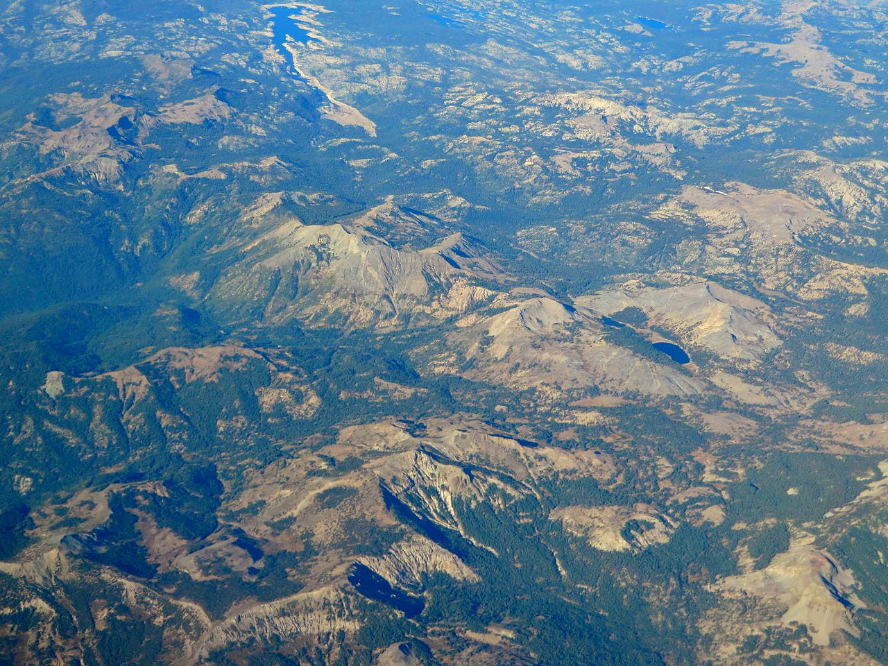
The wilderness contains a significant diversity of landscapes, from the low-lying Donnell Reservoir at 5,000ft (1,524m) to the staggering summits of Sonora Peak, White Mountain, and Stanislaus Peak, all of which are over 11,000ft (3,352m).
The mountains in the Carson-Iceberg Wilderness are part of the Sierra Nevada range. In fact, the wilderness straddles the crest of the range, which forms a natural boundary between Stanislaus National Forest to the west and Humboldt-Toiyabe National Forest to the east.
Geologically, the bedrock in the region is a remnant of the Sierra Batholith, a massive pluton of igneous rock (granite) that formed as the ancient Farallon Plate subducted under the North American Plate, starting during the Jurassic Period.
Some millions of years later, during the Late Jurassic, the Sierra Nevada started to take shape as the Sierra Batholith was uplifted during the Nevadan orogeny.
However, the mountains that we see today were heavily eroded during the Pleistocene glaciation. During this time, extensive ice sheets covered the region, sculpting out many of the granitic features that are typically found in the Sierra Nevada, including its namesake “The Iceberg”.
Due to the Carson-Iceberg Wilderness’ location along the crest of the Sierra Nevada, it actually contains two very distinct climates.
On the western side of the wilderness, conditions are substantially wetter, with an average of about 50 inches (127cm) per year of precipitation, while the eastern side of the wilderness receives just 15 inches (38.1cm) of precipitation per year. However, much of this precipitation falls as snow and both sides of the wilderness are quite dry during the summer months.
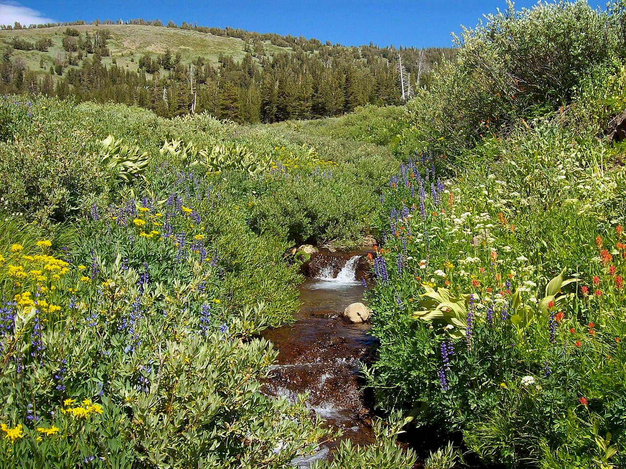
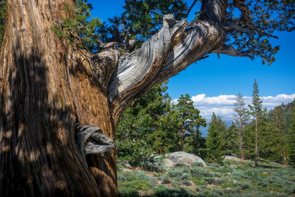
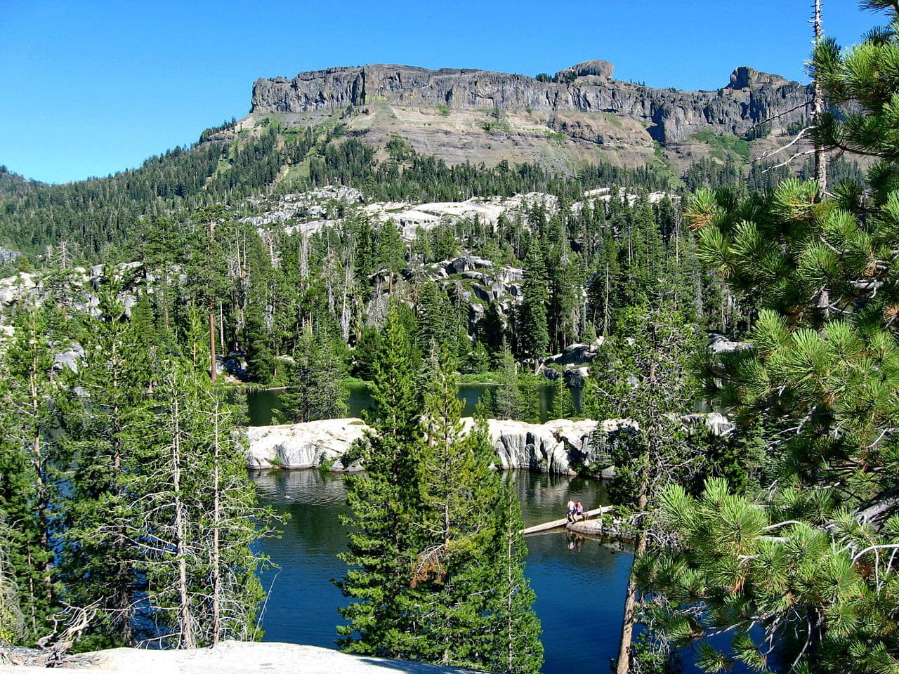
The landscape of the Carson-Iceberg Wilderness is dominated mostly by evergreen forests of Jeffrey pine, lodgepole pine, red fir, sugar pine, western white pine, and white fir. Like the rest of the Sierra Nevada, the wilderness is home to an abundance of wildlife, including mountain lions, black bears, and mule deer.
Perhaps the most unique wildlife in the wilderness, however, is the Paiute cutthroat trout. In fact, the Carson-Iceberg Wilderness is home to the only native population of these trouts that currently exists in the Silver King Creek drainage, which feeds the East Fork Carson River.
These fish are considered to be endangered and are notable because they have very few spots on their body. This distinguishes them from the closely related Lahontan cutthroat trout.
Due to their threatened status, fishing is prohibited in most streams and lakes there Paiute cutthroat trout are present in large numbers.
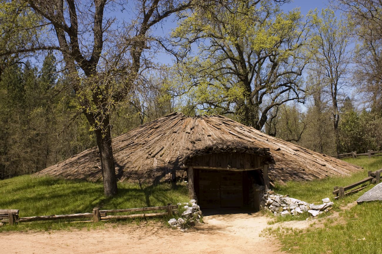
The region in and around the Carson-Iceberg Wilderness has been inhabited for thousands of years, by the Miwok and countless others.
Earlier European-American visitors to the region include Jedidiah Smith, who crossed through what is now the Carson-Iceberg Wilderness at Ebbetts Pass in 1827. Additionally, the first party of European-American immigrants to attempt to cross the Sierra on a wagon crossed Sonora Pass in 1841, led by Captain John Bartleson and John Bidwell.
The land that is part of the Carson-Iceberg Wilderness was used extensively for grazing before its official designation as wilderness under the 1984 California Wilderness Act. Due to this extensive history of livestock grazing, there are still cattle and sheep grazing allotments within the wilderness from July to September of each year.
The Carson-Iceberg Wilderness contains about 200 miles (321.9km) of hiking trails for visitors to enjoy. Here are some of the best places to check out:
The Pacific Crest Trail runs through the Carson-Iceberg Wilderness for about 26 miles as it makes its way from Mexico to Canada. Backpackers can travel from Sonora Pass in the south up to Ebbetts Pass in the north for a stunning traverse of the wilderness.
The 7.7 mile (12.4km) trail to Bull Run Lake offers a nice moderate hike to a stunning lake, which is perfect for a day trip on a hot summer’s day. There are also some options for camping around the lake, but be sure to get a permit before you go.
The Sword Lake Trail is a 6.4 mile (10.3km) out and back path that features a stunning alpine lake. It is a steep trail that travels through dense forest and alpine meadows and offers plenty of great camping opportunities.
Here are some of the best places to stay before or after your trip into the Carson-Iceberg Wilderness:
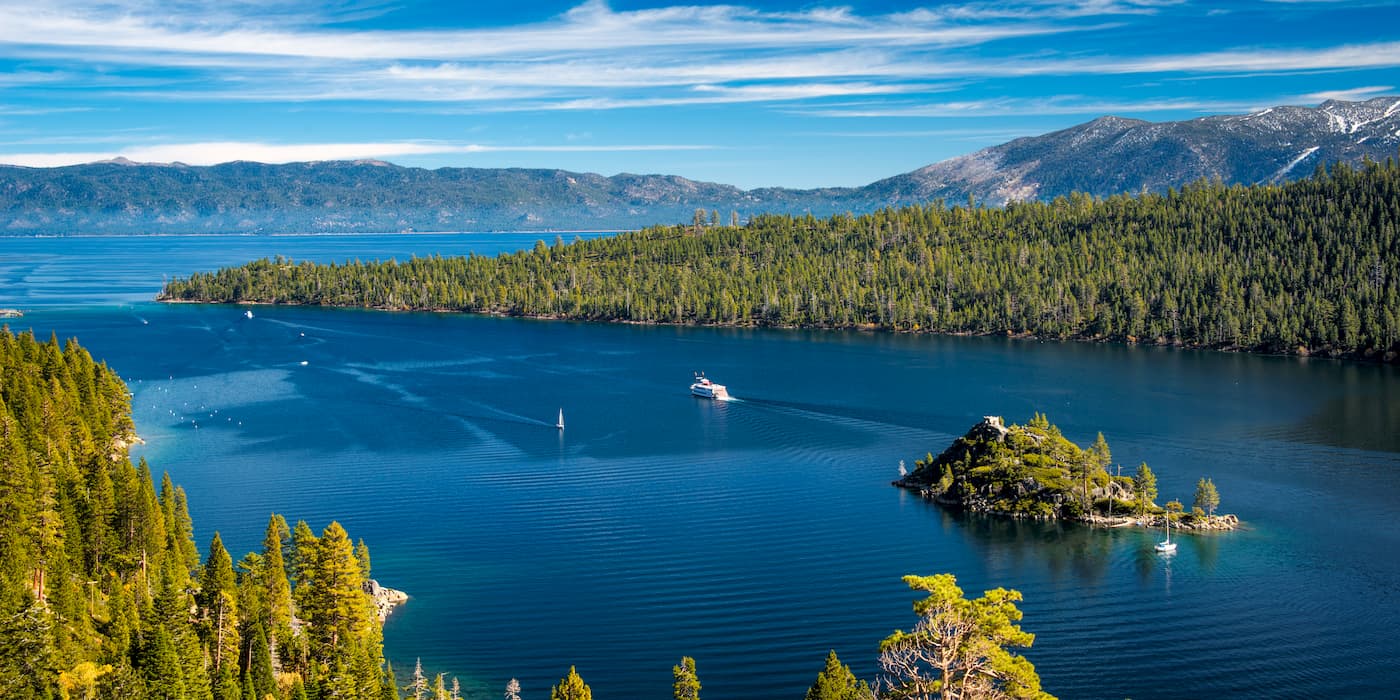
South Lake Tahoe is a popular outdoor destination located at the south end of Lake Tahoe, just north of the Carson-Iceberg Wilderness. It has a population of about 21,000 people and is easy to get to by road from Reno, which also has the city’s closest airport.
Sacramento is the capital city of the state of California and is home to over 513,000 people. The city is located about a 3.5-hour drive to the west of the Carson-Iceberg Wilderness but is the closest big city in the region. Sacramento has a major international airport as well as road and train connections around the west coast of the US.

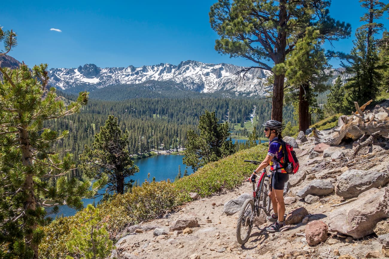
The town of Mammoth Lakes has a population of about 8,200 people and is a popular tourist destination among outdoor recreationalists. It is about 2.5 hours south of the Carson-Iceberg Wilderness and is one of the major towns on the eastern side of the Sierra Nevada range. The town has a small airport with flights to major cities in California and is located along Highway 395.


western-state-climbers
western-state-climbers-emblem
sierra-club-sierra-peaks-section
sierra-sampler
western-state-climbers
western-state-climbers-star
sierra-club-sierra-peaks-section
sierra-sampler
tahoe-ogul
western-state-climbers
western-state-climbers-star
sierra-club-sierra-peaks-section
sierra-sampler
tahoe-ogul


.jpg)
.jpg)