Get PeakVisor App
Sign In
Search by GPS coordinates
- Latitude
- ° ' ''
- Longitude
- ° ' ''
- Units of Length

Yes
Cancel
❤ Wishlist ×
Choose
Delete
Located in the southeast corner of the province of Alberta, Canada, Cypress County is home to rolling prairies and its namesake montane Cypress Hills. There are 10 named hills in the county, the tallest of which is Head of the Mountain—the tallest point in Canada between the Rocky Mountains and Labrador—with an elevation of 1,460 m (4,790 ft).
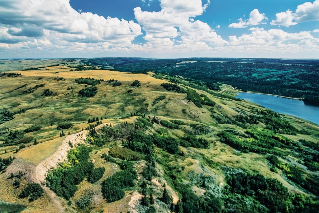
Cypress County is a municipal district that’s located in the southeastern corner of Alberta, Canada. It shares its eastern border with the province of Saskatchewan and its southern border with the state of Montana in the US.
Medicine Hat is the largest municipality in Cypress County, which is part of Alberta’s Census Division 1. Other notable communities include Elkwater, near Cypress Hill Provincial Park, and Suffield, which is near a Canadian Forces Base.
Cypress County’s mostly flat landscape is mainly dominated by shortgrass prairie and farmland. The South Saskatchewan and Milk Rivers run through the county and have eroded extensive coulees, resulting in a badlands terrain that surrounds each river.
There are several protected areas in the county, the most notable of which is Cypress Hills Provincial Park, which has a montane ecology, uniquely separate from the Rocky Mountains. Additionally, Onefour Heritage Rangelands Natural Area and Prairie Coulees Natural Area are located within the county.
Much of Alberta’s current geology owes at least part of its formation to the collision between the tectonic plates underlying the Pacific Ocean and North America that occurred some 140 million years ago. During this time, mountains were built, the coast was extended west, and a sea covered the western side of Canada.
As the Pacific plates subducted, the most notable events were the Sevier and Laramide orogenies, which are the mountain building events that created the Columbia, Coast, and Rocky Mountains. Further events during the tectonic collision include the addition of most of the terranes that form modern British Columbia.
The aspect of the collision that affects Cypress County is that as the plates were sliding under the continent, the western edge of North America dipped downward. This created an influx of water and sediment and a sea formed across present day Alberta. The new sea covered the previous coastal wetlands, marshes, and peat bogs that were thriving about 100 million years ago.
The prehistoric sea that covered Alberta, and the subsequent transformation of organic materials, created the vast coal and natural gas deposits in Cypress County. Additionally, the influx of sediment created the raw materials for the clay pottery and pipe industries that exist today.
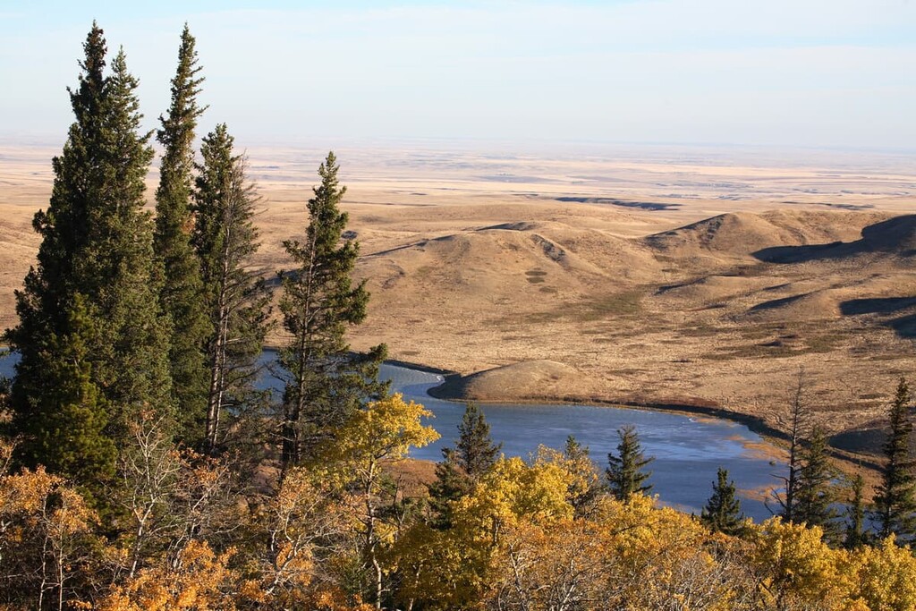
Many layers of sediment accumulated during the Cretaceous; however, significant erosion occurred as the Continental Divide was formed. The sea started to drain to the northeast with immense erosive power; however, the Cypress Hills plateau along the eastern Alberta border was spared from significant erosion and is now the highest point between the Rockies and Labrador.
The plateau on which Cypress Hills Provincial Park sits is the remnants of the plateau that once covered significant portions of southern
>>>>> gd2md-html alert: undefined internal link (link text: "Alberta"). Did you generate a TOC?
(Back to top)(Next alert)
>>>>>
During the glaciations of the Pleistocene, the tops of the Cypress Hills were spared from the Laurentide ice sheet, remaining unglaciated and forming nunataks. Other notable nunataks are Plateau Mountain and mountains of the Highwood Pass in Kananaskis Country, Alberta.
As the Laurentide ice sheet surged and receded to finally melt away about 14,000 years ago, evidence of the glaciation was left across Cypress County. Moraines were left behind as the glaciers receded; however, the meltwater had the most significant impacts on the current topography of Cypress County.
Notably, the coulee terrain of the South Saskatchewan and Milk Rivers was heavily influenced by the large volume of meltwater racing east. Melt water channels were created across the prairies, and near Walsh, Alberta, the landscape takes the form of a head wearing a feathered headdress. Caused by erosion, this unusual feature is 300 m (980 ft) wide and 25 m (82 ft) deep, and is called the Badlands Guardian.
The ecology of most of Cypress County of southeast Alberta is part of the Grassland Natural Region, with the exception of Cypress Hill Provincial Park, which is part of the montane subregion of the Rocky Mountains Natural Region.
The Grassland Natural Region is characterized by a level to rolling landscape and is often referred to as prairie. The region is the warmest and driest natural region in Alberta, and has mostly been turned into cropland. The warmest and driest part of the Grasslands Natural Region is actually in Cypress County.
While a significant portion of the prairies is used for agriculture, there are still many diverse habitats in the municipal district. In addition to the grasslands, woodlands grow in narrow strips along the rivers, wetlands tend to be shallow and saline, and the rocky outcrops of the badlands are home to many birds and animals.
Some of the animal species that are only found in the grasslands parts of Cypress County are the swift fox, greater sage-grouse, mountain plover, painted turtle, short-horned lizard, and the western rattlesnake. Richardson’s ground squirrels are an important food source for predators such as the ferruginous hawk, American badger, and coyote.
On the eastern side of Cypress County is the anomaly of the Alberta ecology, which is the sole montane ecosystem in Alberta that’s located east of the Rocky Mountains. The Cypress Hills Provincial Park, which encompasses most of the ecoregion, is ecologically similar to Bow Valley Provincial Park, near Canmore or the Municipality of Crowsnest Pass in southern Alberta.
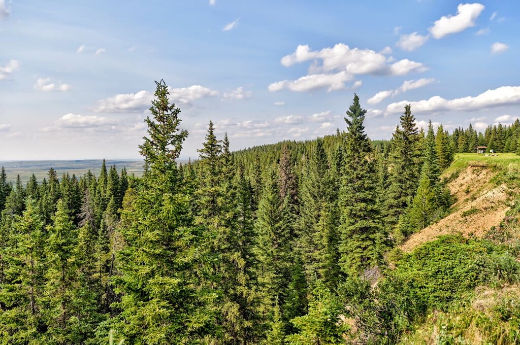
The Cypress Hills host forests of aspen, lodgepole pine, and white spruce. There are herbaceous and grassy meadows with many wildflowers, including prairie crocus, three-flowered avens, lupine, blue bells, and prairie rose. The hills are also home to fourteen orchid species, including the striped coralroot orchid and Venus's slipper orchid.
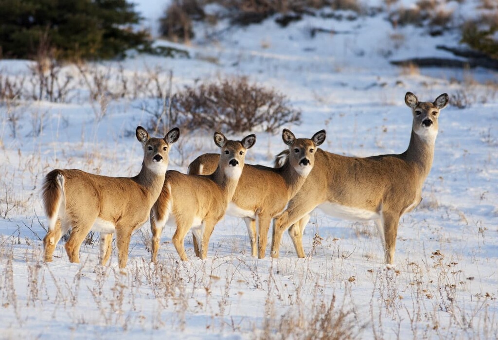
There are a wide variety of small mammals which include rodents, bats, shrews, skunks, jackrabbits, Canada lynx, foxes, and bobcats. Large mammals that inhabit the hills include moose, elk, mule and white-tailed deer, coyotes, and cougars.
Cypress County is the traditional territory of the Blackfoot Confederacy, Stoney Nakoda First Nation, and the Métis Nation of Alberta. There is archaeological evidence that the Cypress Hills have been inhabited off and on for the past 8,000 years. The Cypress Hills were a notable area in prehistory where there is evidence that the hills were a meeting and conflict area for many Indigenous peoples. The Métis settled in the hills for hunting and wintering during the nineteenth century.
A notable and tragic event that occurred in the county was the 1873 Cypress Hills Massacre where Canadian and American wolf hunters killed at least 13 Nakoda while suffering one casualty, in what appears to be a misunderstanding about missing horses. The event spurred the new Canadian government to accelerate the recruitment and deployment of the newly formed North-West Mounted Police.
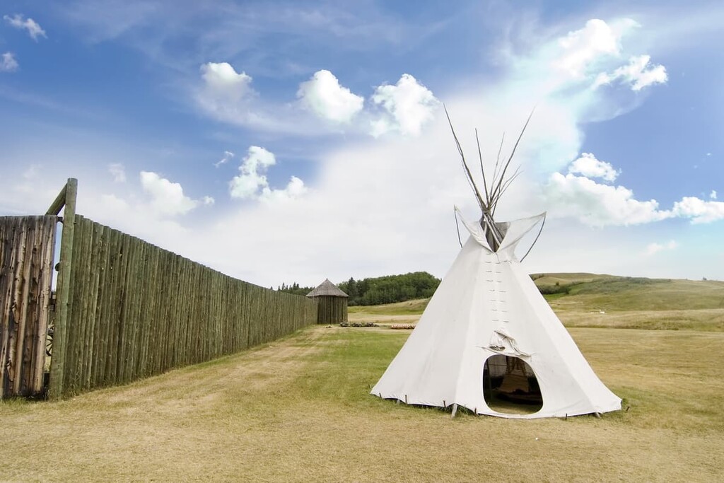
There are many significant archaeological and historical sites in Cypress County, including the site of the Cypress Hills Massacre which was designated as a Canadian Heritage Site. There is a site at South Battle Creek which has a tipi ring, lithic artifacts, and broken pottery and is believed to have been inhabited many times from 7,500 to 300 years ago.
Other unique sites contain effigies found near Graburn Creek and another site in a coulee near Elkwater Lake. Further north, Suffield Tipi Rings National Historic Site has several rock features, which are tipi rings, linear rocks, cairns, and a medicine wheel from about 1430. Such sites were once common across the prairies; however, agriculture has had a tendency to disrupt rock formations in the middle of potential cropland.
Significant events in the nineteenth and twentieth centuries revolve around the discovery and exploitation of significant natural gas reserves under the city of Medicine Hat. As the railway was being built in 1883, several workers discovered gas while looking for water. However, it wasn’t until 1904 when the natural gas reserves started influencing the local area.
Medicine Hat offered free land, free water, and cheap gas for heat, light, and power to businesses in hopes to lure them to the city. It worked, as woolen mills, flour mills, greenhouses, foundries, breweries, machine companies, and glass and brick manufacturers were lured to the city. The town quickly grew and became a city in 1906.
Between 1911 and 1913, the population tripled as settlers came by the hundreds and at this time the city claimed to be fueling thirty major industries with twenty natural gas wells. Medicine Hat was the first urban area in western Canada with its own gas utility, and was able to light the rail platforms and downtown street corners. It is said that the city left the lights on all day because it was cheaper than hiring someone to turn them off and on.
During the boom times of the early twentieth century, many settlements and communities were created across the county. However, as the 1930 drought and depression hit the prairies, many of these settlements were abandoned. In 1941, a Canadian Forces Base was constructed at Suffield and with time, Cypress County could sustain agriculture once again.
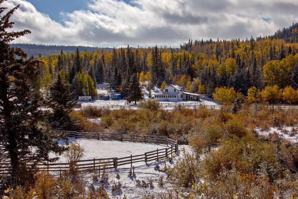
While most of Cypress County is covered with prairie grassland, there are stunning hikes in the Cypress Hills and through the river coulees with their badlands topography. The following are some areas in which you’ll find some stunning scenery and fantastic adventure in Cypress County:
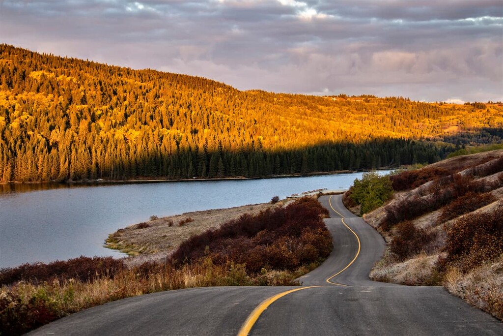
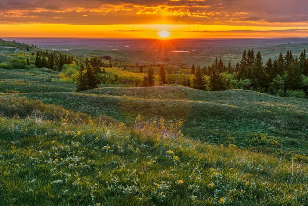
Located along the eastern border of Alberta, Cypress Hills Provincial Park is a unique montane landscape that is hidden away in the prairies. The drive to the park is part of the fun, as you drive through the flat prairies, the landscape and ecology abruptly changes from the flat prairies to thick forests that are reminiscent of the Rocky Mountains.
There are dozens of trails in Cypress Hills Provincial Park that are worth hiking. There are some great trails west of the town of Elkwater, such as Horseshoe Canyon, Mitchel Creek, Beaver Loop, and Tower Trail, along with many others.
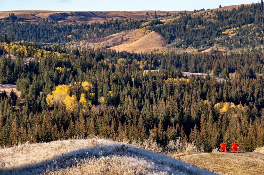
In the east of the park, there are two popular attractions: Spruce Coulee Reservoir and Reesor Lake. A leg of the Trans-Canada Trail runs between the lake, too, with access to viewpoints of the lakes. There are campgrounds throughout the park to help you stay close to nature while traveling.
The South Saskatchewan River flows through the city of Medicine Hat and is home to many incredible trails though the stunning coulee landscapes. There are several trails in the Echodale Regional Park that follow the river banks. Additionally, there are trails that run from the community of Red Cliff through the coulees.
Police Point has some beautiful trails and natural areas as well as interesting history, where the North-West Mounted Police had originally established a fort on the point. Across the river from Police Point is Strathcona Park, which has many trails along the river and through the coulee.
While visiting the trails and parks in Cypress County, the following are some of the places to stay.
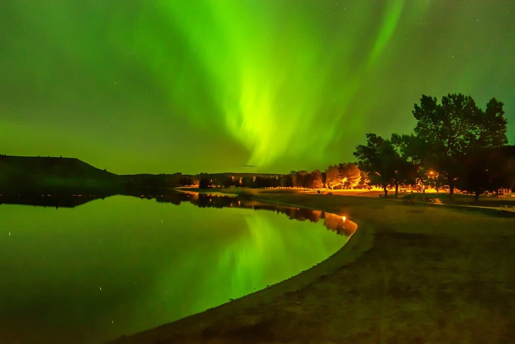
The town of Elkwater is located to the north of Cypress Hills Provincial Park on the south shore of Elkwater Lake. The lake is good for swimming, boating, and fishing. There are hotels, cabins, and campgrounds for accommodation.
Some of the notable trails from the town are the Horseshoe Canyon Trail, Old Baldy Trail, and the Fire Lookout Trail. From the town, the incredible Cypress Hills wilderness is nearby for enjoyment.
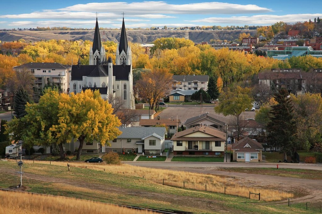
Medicine Hat was built upon the banks of the South Saskatchewan River and is the principal city of Cypress County. The town grew from the railway camp that was raised while the railway workers were constructing the bridge across the South Saskatchewan River. The city has a rich history of the First Nations that inhabited the area and the settlers that came for free land and cheap gas.
Some of the places to visit while in Medicine Hat are the Saamis Tepee, Police Point, and Echodale Regional Park. The river valley and the coulees are incredibly beautiful with their rugged terrain and fascinating views and landscapes through which you can hike.
Explore Cypress County with the PeakVisor 3D Map and identify its summits.


