Scan the QR code and open PeakVisor on your phone
Located within the Coast Mountains of British Columbia, Canada, Morice Lake Provincial Park is a remote wilderness park that has opportunities for backcountry hiking and paddling. Centered around Morice Lake, the park contains 6 named mountains, the highest and most prominent of which is Snowcap Mountain (2,150 m/7,054 ft).
Morice Lake Provincial Park is one of the seven parks and protected areas that were created in central British Columbia, Canada as a result of agreements made with the Wet’suwet’en First Nation. The name for Morice Lake in the Wetʼsuwetʼen dialect of Babine-Witsuwitʼen that is traditionally spoken by the Wetʼsuwetʼen First Nation is Wet-zuhn-buhn, which refers to the blue-green color of the water.
The other parks and protected areas that were formed as part of the agreement with the Wet’suwet’en include:
The park is located in the Morice Range, and it is centered around Morice Lake, which drains via the Morice River. The English language namesake of the park is the Reverend Father Adrien-Gabriel Morice, who lived and ministered in the Bulkley region of interior British Columbia, Canada.
There are six named peaks in Morice Lake Provincial Park, only two of which stand over 2,000 m or 7,000 ft in elevation. Snowcap Mountain is the tallest and most prominent of these peaks, at 2,150 m (7,054 ft) tall and with 1,126 m (3,694 ft) of prominence.
Other nearby parks and protected areas around Morice Lake include:
Morice Lake Provincial Park spans several geological areas of central British Columbia. The western edge of the park is part of the Kitimat Ranges of the Coast Mountains, and the eastern edge of the park is on the Nechako Plateau. The middle part of the park is part of the Hazelton Mountains, specifically the Tahtsa Ranges and their subrange, the Morice Range.
The Tahtsa Ranges are a belt of non-granitic mountains that lie between the granitic Kitimat Ranges and the Nechako Plateau. Composed mostly of Mesozoic sedimentary and volcanic rocks, the serrated peaks and ridges of the range were created from cirque glaciation that started during the Pleistocene. Many of the highest peaks in the region continue to have cirque glaciers gracing their northeast faces.
Morice Lake is one of the many lakes of the Tahtsa Ranges. The other lakes of the range include Nanika, Tahtsa, Troitsa, Whitesail, and Eutusk, all of which are all high elevation lakes that are drained to the west by tributaries of the Fraser, Nass, and Skeena Rivers.
The lakes are located at high elevations, and they occupy ice-sculpted valleys. Additionally the western end of each lake lies in the Kitimat Ranges while their eastern ends lie upon the Nechako Plateau. During the Pleistocene, ice accumulated in the Kitimat Ranges and flowed toward the Rocky Mountains.
As the glaciers flowed to the east from the Kitimat Ranges, the glaciers carved out the easterly trending valleys of the Tahtsa Ranges. The ice continued flowing across the range and came out upon the Nechako Plateau before continuing toward the Rocky Mountains.
Morice Lake Provincial Park has four distinct terrestrial ecosystems in addition to the provincially significant headwaters of the Morice River. Nearly half the park is part of the Boreal Altai Fescue Alpine zone, while the majority of the subalpine is representative of the Sub-Boreal Spruce and Engelmann Spruce – Subalpine Fir zones.
The forests within the park are nearly all old-growth forests that are more than 140 years old. Additionally, the southwestern part of Morice Lake Provincial Park contains forests that are filled with western hemlock, western redcedar, and Douglas fir, all of which are rare in the region.
The remainder of the forests have lodgepole pine, Engelmann spruce, and alpine fir. Some rare plant communities in the park include areas with amabilis fir, western red cedar, and oak fern; lodgepole pine and kinnikinnick, and Sitka spruce and salmonberry. Furthermore, whitebark pine ecologies are rare in the region.
Nearly half of the park lies above the treeline in the alpine zone. Only the peaks of the park are typically barren and rocky while the region’s lower elevation alpine meadows are filled with sedge and heather. The alpine meadows of the park also have interspersed stands of trees that grow denser as you descend toward the treeline.
Mountain goats and bighorn sheep inhabit the alpine in the park as do marmots and ground squirrels. Grizzly bears, black bears, moose, caribou, elk, cougars, and coyotes also inhabit the park. The park’s golden eagles prefer to nest in south-facing areas where they can prey upon large alpine rodents, such as the hoary marmot and the Columbian ground squirrel.
Woodpeckers are found in the old-growth forests of the region. They prefer forests of standing-dead trees, while other birds such as the gray jay, red crossbill, white-winged crossbill, and the pine siskin prefer conifer forests. The rivers in the region are home to sockeye salmon, coho salmon, lake trout, Dolly Varden, and whitefish.
The park protects important habitats for mountain goats and grizzly bears. It is also a spawning area for sockeye salmon.
Mountain pine beetles are present in the park as well as white pine blister rust, both of which are killing the regionally rare whitebark pine trees. Unfortunately the primary food source for the Clark’s nutcracker is whitebark pine seed, which they cache for the winter. The invasive beetles and pathogen may lead to the ultimate extirpation of whitebark pine and the Clark’s nutcracker in the park.
The traditional territory of the Wet'suwet'en First Nation who are a Dakelh (Dakelh-ne / ᑕᗸᒡ / Carrier) First Nations encompasses all of the modern day Morice Lake Provincial Park. The First Nation and its ancestors have inhabited the land that is now part of the park for thousands of years.
The Wet'suwet'en have traditionally divided their territory among the houses that make up their nation. Morice Lake and the surrounding parks and territory are part of C’iniggit Nenikëkh house territory in the house of Yextsowiten (Thin House) that belongs to the Gilseyhyu (Big Frog) clan.
The territory of C’iniggit Nenikëkh house is a productive area for resources known as “Common Basket.” The area was traditionally used to hunt hoary marmot and caribou, and it remains important to the Wet’suwet’en to this day.
Cultural heritage sites in the park include culturally modified trees, cultural depressions, symbolic markers, artifacts, gravesites, home places, gathering places, and traditional use sites for fishing, hunting, tool manufacturing, and food processing.
The park is part of a broader collection of provincial parks and protected areas that include cultural heritage sites of the Wet’suwet’en. Morice Lake Provincial Park has been home to the Wet’suwet’en for thousands of years. Many of the region's parks have been established to protect the natural landscape as well as the many sacred and culturally important sites in the area.
Morice Lake Provincial Park is one of a series of parks that the Wet’suwet’en have agreed to make in order to protect and preserve their traditional territory. Some of the traditional uses of the land in the park include hunting and gathering resources for food, medicine, and ceremonial purposes.
Most visitors come to Morice Lake Provincial Park to paddle across and visit the shoreline around Morice Lake. A campground on the shore of the lake provides basic sites for visitors.
Other visitors come to Morice Lake Provincial Park to paddle across Morice Lake and to make the portage to Atna Lake. There are additional opportunities for backcountry adventure in a pristine mountain wilderness in Atna River Provincial Park.
Morice Lake Provincial Park is one of many wilderness parks in the region that are designed to protect the wilderness and cultural heritage of the area. The following are some of the closest major communities to Morice Lake Provincial Park in central British Columbia that you can check out during your trip.
Houston is located about 90 km (54 mi) away from Morice Lake Provincial Park. It is the closest community to the park. The town is situated within the Regional District of Bulkley Nechako, and it has an economic focus on forestry, mining, and tourism.
The local hiking club recommends hiking to Findlay Falls, China Nose Mountain, Houston Palisades, Morice Mountain, Nadina Falls, and many more. Furthermore, the Nanika-Kidprice Lakes Basin canoe route is also a particularly popular canoe route.
Some of the wilderness and hiking areas found around Houston include Nadina Mountain Provincial Park, Morice Lake and Atna River Provincial Park, and Nenikëkh/Nanika-Kidprice Provincial Park.
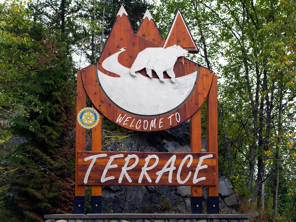
Terrace is located about 345 km (207 mi) from Morice Lake Provincial Park, which is typically the access route to Atna River Provincial Park. Terrace is situated at the junction of Highway 16 and Highway 37. It is also home to the Northwest Regional Airport as well as a railway station that’s serviced by Via Rail’s passenger trains.
There are countless areas to check out near Terrace and many outdoor activities, such as fishing, hiking, mountain biking, climbing, and hunting, to enjoy. Some of the popular wilderness areas near Terrace include Seven Sisters Provincial Park, Gitnadoiks River Provincial Park, and Khutzeymateen Grizzly Bear Sanctuary.