
Scan the QR code and open PeakVisor on your phone
The Ecstall-Spokskuut Conservancy is a protected area that encompasses over 100 sq. km (38 sq. mi) of terrain in the Ecstall River watershed of coastal British Columbia, Canada. There are 5 named peaks in the conservancy, the highest and most prominent of which is Mount Chapleau at 1,141 m (3,743 ft) in elevation and with 1,084 m (3,556 ft) of prominence.
The Ecstall-Spokskuut Conservancy is located in the North Coast Regional District of British Columbia, Canada. The conservancy is situated at the confluence of the Ecstall and Skeena Rivers, near where the Skeena River enters the Pacific Ocean.
The conservancy has five named peaks that are part of the Kitimat Ranges of the Canadian Coast Mountains. The highest of the five peaks in the conservancy is Mount Chapleau, which is 1,141 m (3743 ft) tall and has a prominence that is nearly equal to its height.
The conservancy is only accessible by boat, and it is located at the site of the abandoned community of Port Essington. In its heyday, Port Essington was the largest community in the region. It had a population over 3,000 people, and the vast majority of the residents in the community worked at one of the area’s five canneries.
The townsite has now been left to the whims and mercy of nature, as the forests have encroached upon what used to be Port Essington. The conservancy is now part of the BC Parks system, which includes over 800 protected areas across the province.
The following are some of the other parks and conservation areas that are located near the Ecstall-Spokskuut Conservancy:
The Ecstall-Spokskuut Conservancy is located on the west coast of British Columbia in the Kitimat Ranges of the Canadian Coast Mountains. Furthermore, the conservancy is part of the Wrangellia terrane, which accreted to the edge of North America between 145 and 45 million years ago.
The Wrangellia terrane started forming along the floor of the Pacific Ocean during the Paleozoic as a rift opened and lava flowed out along the seafloor. Throughout the Triassic, flood basalts flowed over the previous lava beds. During this time, a nearly 6 km (3.6 mi) thick layer of rock was added to the terrane, raising it above sea level.
The final addition to the Wrangellia terrane occurred during the Jurassic when a volcanic arc superimposed upon the terrane. While there is currently no mining activity in Ecstall-Spokskuut Conservancy, the circumstances that surrounded creation of this terrane were favorable to the formation of metal and mineral deposits.
It was about 145 million years ago when Wrangellia started accreting to the North American craton. The accretion of Wrangellia was part of the mountain building processes that created the Columbia Mountains.
The Ecstall-Spokskuut Conservancy contains part of the Kitimat Ranges of the Canadian Coast Mountains. These ranges were formed partially as a result of the further accretion of exotic, outboard terranes, which led to the subduction of their tectonic plates beneath the continent, thereby compressing the coastline. This eventually created the volcanic arcs that lifted the coastal mountains and introduced granitic intrusions into the range.
During the Pleistocene, an ice sheet covered the coast of what is now British Columbia and extended into the ocean. The weight of the ice sheet depressed the coastline so that it was up to several hundred meters lower than it is now.
This ice sheet also rounded over many of the region’s mountains, leaving only monadnocks projecting above the ice. These peaks were later sculpted into horn-like projections by cirque glaciers. As the glaciers flowed from the mountains toward the ocean, they created most of the current topography of coastal British Columbia by gouging out the deep valleys that would later become the region’s rugged fjords.
Among the most interesting ecological features of the Ecstall-Spokskuut Conservancy is the productivity of the Ecstall watershed. The watershed is an important salmon spawning habitat that is home to five species of trout.
Additionally, the conservancy is part of the temperate rainforest area that dominates the coast of British Columbia. The coast receives a significant amount of rainfall each year due to its proximity to the warm Pacific air flows. These high rates of precipitation have created the conditions necessary for massive trees to grow.
The forests of the conservancy are filled with western red cedar, western hemlock, amabilis fir, Sitka spruce, and Douglas fir. Further up the mountain slopes in the conservancy, mountain hemlock and yellow cedar are typically more common.
Many animals inhabit the conservancy, such as black bears, grizzly bears, deer, and moose. Stone sheep and mountain goats may be spotted among the region’s peaks alongside marmots and ground squirrels. Eagles are a common sight in the conservancy, and they’re typically seen reeling above the trees and along the coast as they hunt.
The Ecstall-Spokskuut Conservancy is located in the traditional territory of the Gitxaala, Lax Kw’alaams, and Metlakatla nations. The northeast corner of the conservancy is called Spokskuut in the Tsimshian language, which translates as “autumn camping place.”
The Spokskuut, which is located at the confluence of the Ecstall and Skeena Rivers, was traditionally an important meeting place between the First Nations of the upper Skeena and the coastal Tsimshian. It was also home to one of two important Tsimshian seasonal villages along the Ecstall River. The other village was traditionally located near Big Falls Creek in the Ecstall-Sparkling Conservancy.
Before European contact, the First Nations in the region would traditionally catch salmon in weirs or by spear while in Spokskuut. During their autumn stays in their villages, First Nations also harvested other fish and sea mammals. Besides salmon, the other important fish that the First Nations in the region traditionally caught in the Ecstall River is eulachon.
Also known as candlefish, eulachon has long been a valuable resource for First Nations because its oil was an important trade item for coastal peoples. The trade routes for eulachon oil became known as grease trails. One of the ancient grease trails runs along the Ecstall River Valley and ultimately connects the region to the Douglas Channel.
Grease trails are found along the coast of North America from Yukon to California and as far inland as Montana and central Alberta. Coastal nations would traditionally trade their oil with interior nations such as the Babine, Carrier, and other Athabaskan peoples.
Furthermore, the Tsimshian are known for their artistic creations, including large and detailed carvings. Indeed, the Tsimshian created many of the elaborate totem poles that are now seen as a representation of coastal First Nations culture.
In 1871, a pair of businessmen built the first cannery at the Spokskuut site near the confluence of the Skeena and Ecstall rivers. An additional four canneries would be constructed over the years in the town and the settlement would grow to have 3,000 residents.
For a short time, the settlement at the confluence of the Skeena and Ecstall rivers was even the largest community in the region. In its heyday, the community even boasted three hotels in addition to its five canneries.
The settlement would later come to be known as Port Essington, and it was serviced by steam wheelers. In later years, the settlement also saw the construction of Brown’s Mill, which was a water-powered mill that operated between 1900 and 1975. The mill was turned into a hydroelectric power plant in the 1990s.
Conservancies such as the Ecstall-Spokskuut Conservancy are typically created to preserve an area in a natural and wild state. Camping, trapping, hunting, and other recreational activities are often permitted in the conservancies; however, trail infrastructure and facilities aren’t typically part of the plan for a conservancy.
Despite the fact that there are no official trails or facilities in Ecstall-Spokskuut Conservancy, there are still many activities and attractions that are worth checking out in the area.
Some of the main attractions of the conservancy include the Port Essington townsite and the Ecstall River. The conservancy also boasts a vast wilderness with mountain peaks, valleys, and creeks to explore, including the ancient grease trail along the Ecstall River valley.
Port Essington has been largely reclaimed by nature; however, there are still remnants of the town to explore. Some of the major buildings of the town included three hotels and five canneries.
The Ecstall River is also an incredible place for canoeing or kayaking. In fact, many visitors who hope to follow the ancient grease trail along the valley opt to use the waterway instead of trying to find the land-based trail. There are historical notes regarding the grease trail that can offer some aid to navigation; however, the rainforest trail through the conservancy is difficult to locate and follow.
As a result, anyone visiting the conservancy should be comfortable navigating in the backcountry. All trips to the conservancy typically require that travelers be completely self-sufficient for the duration of their visit due to the limited nature of the resources in the area.
As it is located at the confluence of the Ecstall and Skeena rivers, the Ecstall-Spokskuut Conservancy is a very remote area that is only accessible by boat. The following are some of the closest communities to the conservancy that are worth checking out during a trip to the region.
Located along British Columbia’s north coast, Prince Rupert is a major community that’s situated at the western terminus of the Yellowhead portion of the Trans Canada Highway. Prince Rupert is nestled on Kaien Island, about 20 km (12 mi) to the north of the Ecstall-Spokskuut Conservancy.
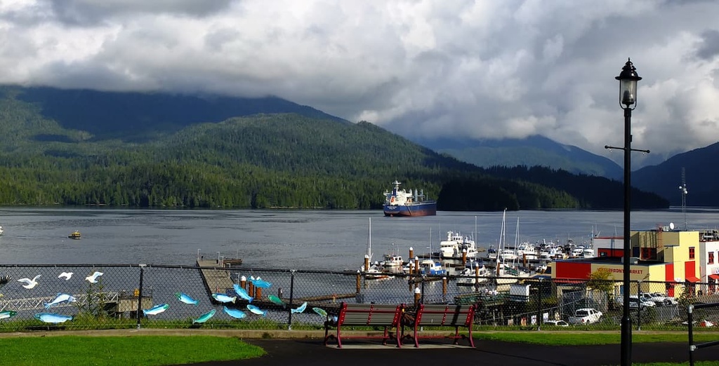
The community is surrounded by the region’s incredible coastal wilderness. The area around Prince Rupert has been inhabited for the last 5,000 years by First Nations. However, the modern city of Prince Rupert was first established with the construction of the region’s post office in 1906.
The city is the starting point for many wildlife viewing trips in the region, especially among people who hope to see grizzly bears, salmon, eagles, and whales. Tours can also be arranged from Prince Rupert to Khutzeymateen Grizzly Bear Sanctuary, which boasts one of the densest populations of grizzlies in North America.
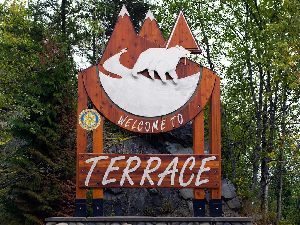
Terrace is located on the eastern edge of the Kitimat Ranges and is the primary community within the Regional District of Kitimat-Stikine. The community of Terrace is located along the Skeena River, and it is situated about 80 km (50 mi) to the east of the Ecstall-Spokskuut Conservancy.
Fishing, hiking, mountain biking, climbing, and hunting are among the many activities that visitors can enjoy in and around Terrace. Additionally, locals in Terrance often spend the autumn searching for wild mushrooms while the summer months are spent picking berries.
Some of the many wilderness and hiking areas that are located near Terrace include the Khutzymateen Grizzly Bear Sanctuary, Gitnadoiks River Provincial Park, Seven Sisters Provincial Park and Protected Area, Hai Lake - Mount Herman Provincial Park, and Kleanza Creek Provincial Park.


