Get PeakVisor App
Sign In
Search by GPS coordinates
- Latitude
- ° ' ''
- Longitude
- ° ' ''
- Units of Length

Yes
Cancel
❤ Wishlist ×
Choose
Delete
Established in 1994, Khutzeymateen Provincial Park was the first area in Canada to specifically be created in order to protect grizzly bears and their habitat. Situated along the coast of British Columbia, Canada, the park contains a range of diverse wilderness landscapes, which includes wetlands, temperate rainforests, a river estuary, and 7 named mountain peaks, the tallest of which is Redcap Mountain at 1,953 m (6,407 ft) in elevation.
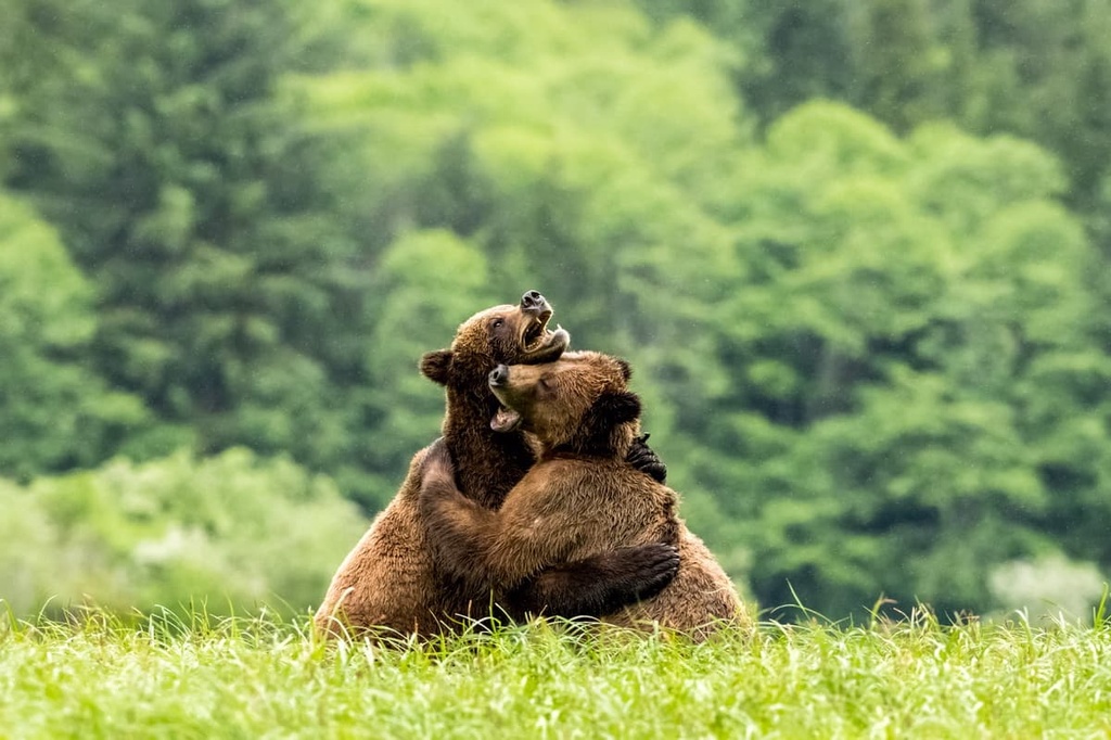
Situated along the rugged west coast of Canada in the province of British Columbia, Khutzymateen Provincial Park was established in 1994 as a grizzly bear sanctuary. The park was the first of its kind to have been specifically created for the protection of grizzly bears and their habitat.
The park has seven named peaks, the tallest of which is Redcap Mountain, which has an elevation of 1,953 m (6,407 ft) and a prominence of 721 m (2,365 ft). The most prominent mountain in the park is Mount Campagnolo, which is 1,935 m (6,348 ft) tall and has 1,100 m (3,609 ft) of prominence.
There is no land access to the park, so all travel to the region is via boat. Furthermore, land access to the park and unguided access to the river estuary is not permitted. This is because the park has been truly set aside for the conservation of the region’s prime grizzly habitat so regulations are in place to prevent human disturbance of the bears at all costs.
Khutzymateen Provincial Park and its neighbors, Khutzeymateen Inlet Conservancy and Khutzeymateen Inlet West Conservancy, are often referred to as the “Khutzeymateen protected areas.” Other protected areas that are located adjacent to and near the park include:
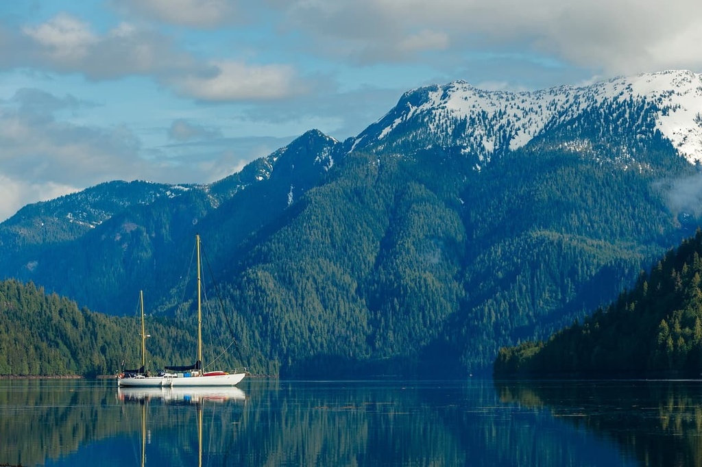
The peaks of Khutzymateen Provincial Park are part of the Kitimat Ranges of the Canadian Coast Mountains, which dominate the coast of British Columbia. The Coast Mountains are composed of sedimentary and volcanic rocks that are Jurassic age and older. Additionally, marine deposits have been discovered at elevations in the region that are well above 100 m (330 ft).
Much of the region also features Coast Intrusions. The Coast Intrusions are batholiths that are composed of granodiorite and quartz diorite. The eastern limit of the intrusions essentially creates the boundary between the granitic Kitimat Ranges and the sedimentary Hazelton Mountains, which are located to the east of Khutzymateen Provincial Park.
Further to the south in the Coast Mountains, the Coast Intrusions delineate the border between the Chilcotin Ranges and the rest of the Pacific Ranges.
In general, the Kitimat Ranges are comprised of low elevation mountains when compared to the elevations of the peaks in the northern Boundary Ranges and the southern Pacific Ranges.
Mountains and ridges that are less than 2,280 m (7,500 ft) in elevation within the region are characteristically dome-like with rounded summits. That’s because the Pleistocene ice sheet overrode the area in thick ice, substantially eroding away peaks and rocky projections in the process.
These glaciers and ice sheets also carved significant U-shaped valleys, including the Khutzeymateen Inlet and the other nearby fjords. During the Pleistocene, the weight of the ice sheet depressed the land nearly by 150 m (500 ft).
Furthermore, the glaciers deposited massive amounts of glacial debris in and around Khutzeymateen Provincial Park. There are significant deposits of glacial debris located just offshore in the park. Khutzeymateen also features a veneer of glacial till that covers much of the lower elevations of the park, in addition to the moraines and other formations that were left by the receding glaciers.
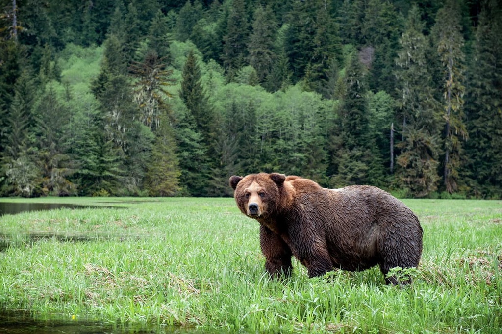
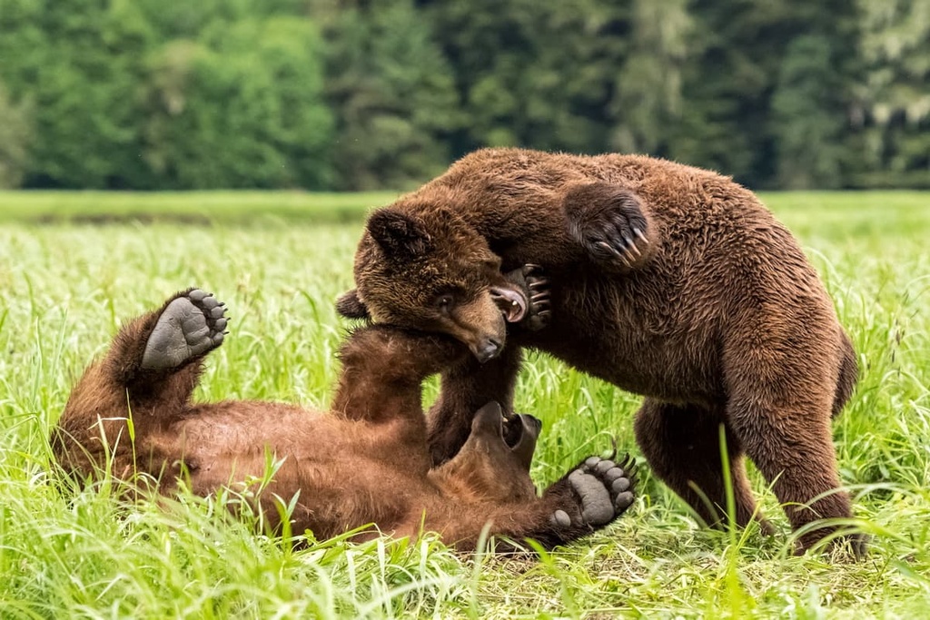
As it is located along the northern coast of British Columbia, Khutzymateen Provincial Park contains three distinct ecosystems that include everything from rugged and barren alpine zones to lush valleys and flourishing estuaries. The primary purpose of the park is to protect the population of grizzly bears that lives in the region and the area’s prime bear habitat.
The rugged alpine peaks of the park are the home to the mountain goats who use these steep cliffs and inhospitable environment to avoid predators. As you move to lower elevations, these rocky peaks transition to alpine meadows and then to the subalpine forests that consist of some yellow cedar, amabilis fir, and mountain hemlock.
Black bears tend to inhabit the marginal areas of the park, including the higher elevations of the subalpine. It’s believed the black bears are very aware of the grizzly bears and that they tend to cede this prime habitat to them to avoid conflict.
The lower elevations of the park are filled with wetlands and dense, old-growth forests of Douglas fir, Sitka spruce, and western hemlock. There are also red cedars in the park forests; however, they are not as abundant as in other areas of the coast.
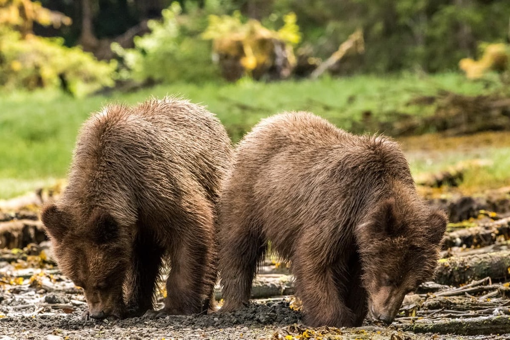
The quantity and quality of the region’s forbs and sedges, in addition to the large numbers of Pacific salmon spawning streams in the park, are what make it prime grizzly habitat. Upward of 50 individual grizzly bears have been seen in a single season in the park, which is quite a substantial number given the large territories that these bears tend to maintain.
Khutzymateen Provincial Park is located on the traditional territory of the Coast Tsimshian. More specifically, the park is located on the territory of the Gitsi’is, who are one of the nine allied tribes of the Tsimshian First Nations. The land in and around the park has been used by the Tsimshian for generations for cultural, social, and economic purposes.
The Tsimshian call the area K’tzim-a-deen, which means “a deep valley at the end of an inlet.” Khutzeymateen is the Anglicization of the Tsimshian word K’tzim-a-deen. The area is considered especially important to many First Nations in the region as it is a valuable place for hunting and gathering food and resources.
The protected areas along the Khutzeymateen River have provided the Tsimshian with food, medicine, transportation, shelter, raw materials, cultural items, and trade goods since time immemorial. There are several traditional harvesting sites for groundfish, salmon, crab, clams, cockles, mussels, harbor seals, and Steller sea lions that are located within the park.
Furthermore, the Tsimshian have used the area to harvest wild foods such as cranberries and other plants including cedar bark for many generations. There are a number of culturally modified red cedars within the park; however, likely due to the relative scarcity of these trees in the region, there are not as many culturally modified red cedars in the park as you might find in other coastal areas of what is now British Columbia.
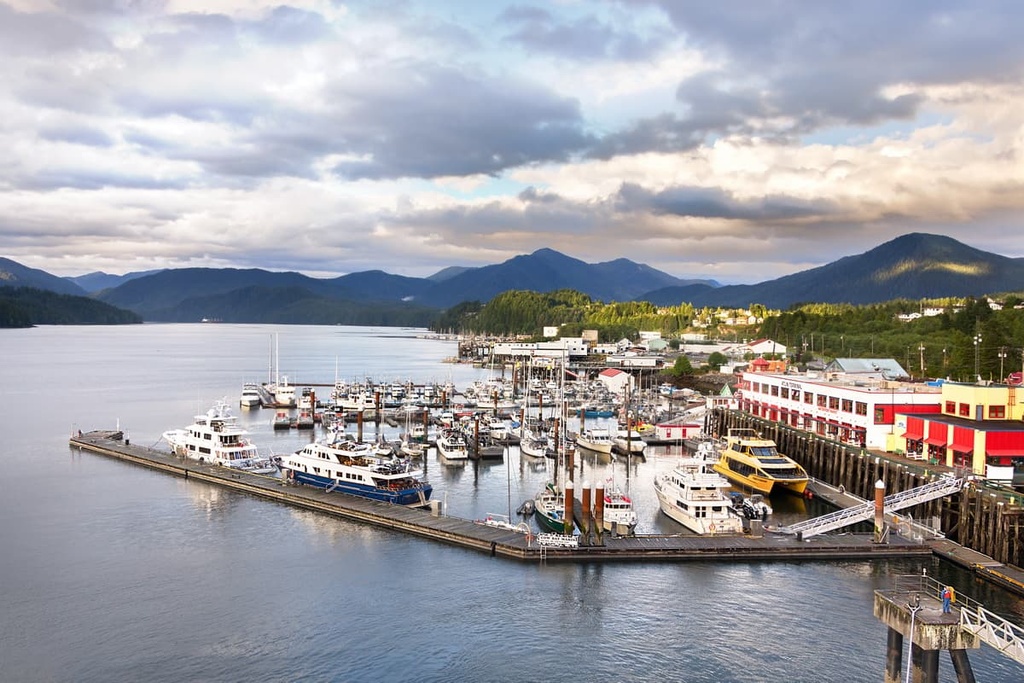
The park contains one known archeological site. There are also several other known archeological sites that are adjacent to the park.
The most likely place for a culturally significant archeological site to be uncovered in the park is along the lower river valley; however, the regular flooding of the river and the deposition of fluvial material have likely destroyed most archeological sites in the area over the centuries.
Next to Khutzymateen Provincial Park in Khutzymateen Inlet West Conservancy, there is an archeological site that contains pre-contact lithic and other materials. While no other such sites have been uncovered in the region, this is likely because there have been no significant archeological assessments of the area.
Currently, the Tsimshian First Nation plays a role in the management and activities of the park. First Nations are still able to practice their traditional harvesting and hunting activities in the park and they use it for other social, ceremonial, cultural, and economic purposes. Furthermore, members of the First Nations are among the primary guides that are permitted to operate tours of the grizzly bear sanctuary.
The primary attraction of Khutzeymateen Provincial Park is the opportunity to view grizzly bears in their natural habitat. Since all visitors arrive at the park by boat or by plane, there are plenty of great opportunities to coast through the Khutzeymateen Inlet to view these majestic grizzlies as they wander along the shoreline.
Vacation packages in the park can include everything from a half-day tour to a trip of several days that includes a stay at the Khutzeymateen Wilderness Lodge. Land access to the park is prohibited and the estuary at the end of the inlet is only accessible through a guided tour.
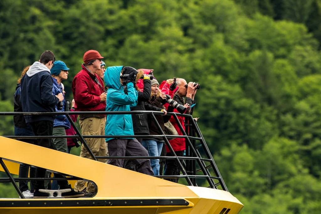
During a wildlife view tour, visitors to the park may also have the opportunity to view humpback and other whales, sea lions, and seals in addition to grizzly bears. The wilderness of Khutzeymateen Provincial Park is pristine and wild, so the landscape itself is a true wonder to behold.
While traveling by boat in the park, it is possible to enter Crow Lagoon, which is possibly the remnants of a volcanic cinder cone. Visitors can boat into the lagoon and observe its steep cone walls while also relaxing in an incredible wilderness setting.
Khutzeymateen Provincial Park is located along the remote and rugged Pacific coast of central British Columbia. The following are some of the main cities and accommodation options that are located closest to the park.
Prince Rupert is at the western terminus of the Yellowhead portion of the Trans Canada Highway. It is located on Kaien Island and is surrounded by the region’s incredible coastal wilderness. Due to its strategic location, Prince Rupert is also the transportation hub of British Columbia’s northern coastal region.
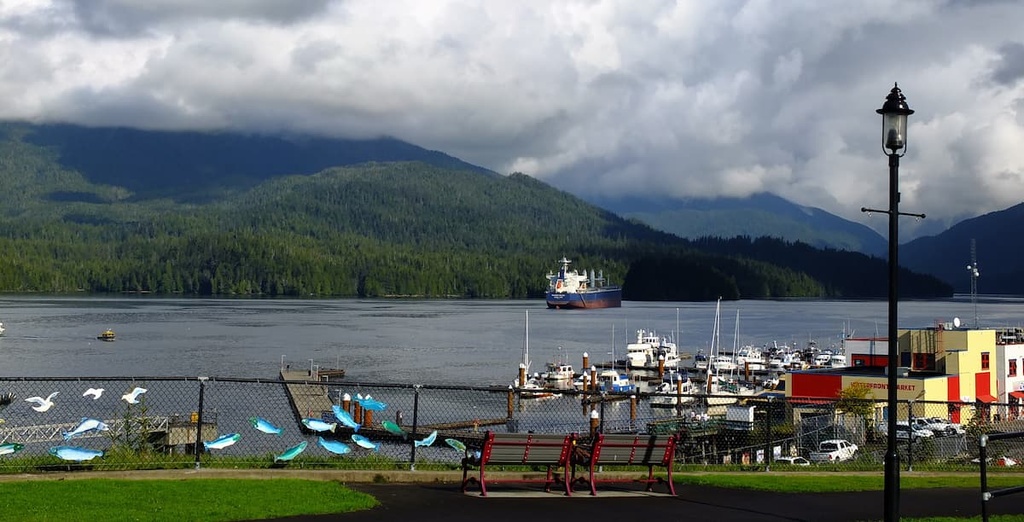
The area around Prince Rupert has been inhabited for the last 5,000 years by First Nations. However, the modern city of Prince Rupert was first established with the construction of a post office in 1906. It was initially envisioned as the western terminus for many newly built national and regional railways.
Prince Rupert is now a stop for cruise ships traveling the Inside Passage along the west coast from Vancouver, British Columbia to Skagway, Alaska. The city is also the starting point for many wildlife viewing trips for people who hope to see grizzly bears, salmon, eagles, and whales. Tours can be arranged from Prince Rupert to Khutzeymateen Grizzly Bear Sanctuary, which features one of the densest populations of grizzlies in North America.
The warm climate of the Bella Coola River Valley has allowed it to become a place of gathering for the Nuxalk people for generations. In 1793, Alexander Mackenzie reached the Bella Coola Valley at the end of his journey across North America. Mackenzie’s journey was the first recorded crossing of the continent to the north of Mexico.
In the late nineteenth century, a group of Norwegian Lutheran settlers from the US was given land grants in the Bella Coola Valley. The settlers came to the region after many of the First Nations communities in the area had suffered the fatal results of several smallpox epidemics.
Fishing, forestry, public service, retail, and tourism make up the primary economic drivers in the valley, though there has been an emphasis on increasing local tourism in the area in recent years.
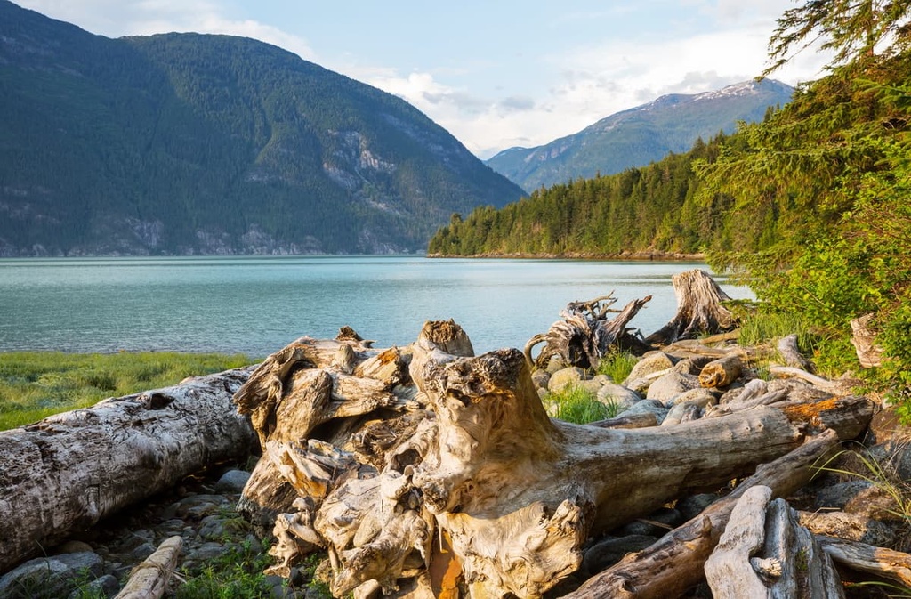
This remote valley, which is located at the edge of the continent, offers many opportunities for wilderness adventure for those willing to make the trip to the region. In addition to its many accessible ocean routes, the community is surrounded by pristine mountains, which offer great hiking trails and incredible heli skiing terrain.
Accessible only by boat and seaplane, the Khutzeymateen Wilderness Lodge is a floating lodge anchored in the Khutzeymateen Inlet. The property has eight bedrooms for rent and a dining room with a chef that prepares incredible meals.
The lodge is available for booking as part of a tour package in the provincial park for visitors interested in wildlife viewing along the Khutzeymateen Inlet. In addition to spending hours cruising along the shore viewing wildlife, visitors to the area can enjoy fishing, swimming, kayaking, and relaxing on the dock of the floating lodge, all while surrounded by the beautiful and pristine wilderness of coastal British Columbia.
Explore Khutzeymateen Provincial Park with the PeakVisor 3D Map and identify its summits.


