
Scan the QR code and open PeakVisor on your phone
The Walnut Mountains are part of the Blue Ridge Mountains, located in western North Carolina in the United States. The 46 mountains are north of Asheville and close to the border with Tennessee. Snakeden Mountain is the tallest (4,173 ft/1,272 m) and Big Knob (4,035 ft/1,230 m) is the most prominent (669 ft/204 m).
The Walnut Mountains are a relatively low section of the Blue Ridge Mountains, a subsection of the Appalachian range. Elevations range from 2,405 ft (733 m) on Redoak Mountain to 4,173 ft (1,272 m) at the summit of Snakeden Mountain.
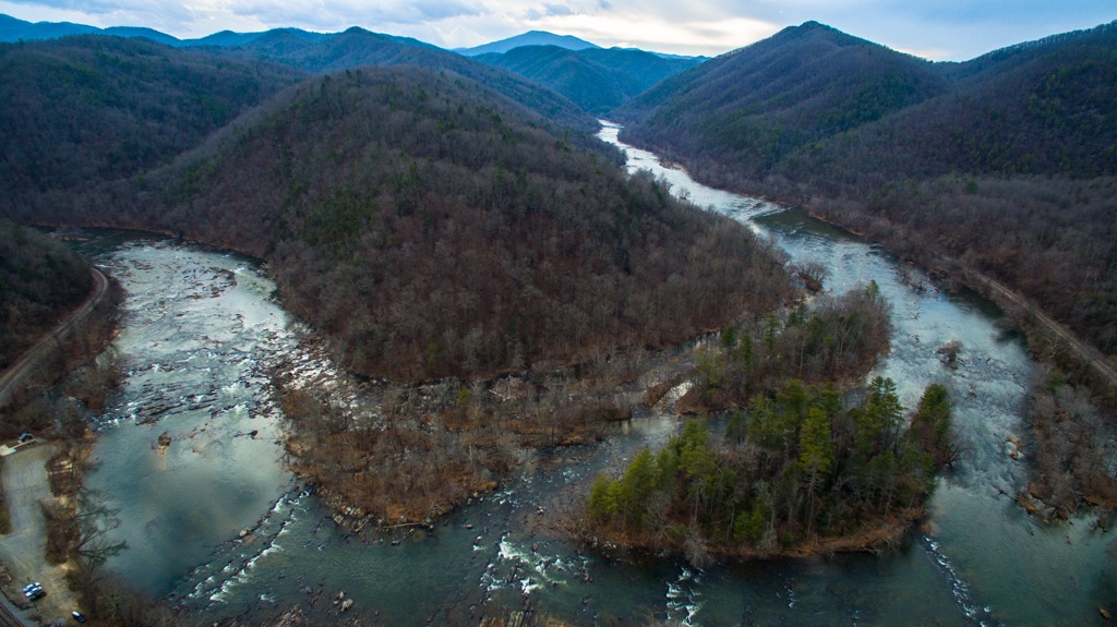
The mountains are located in Madison County in western North Carolina. They lie just south of Pisgah and Cherokee National Forest, northeast of the Great Smoky Mountains, and northwest of Mount Mitchell State Park.
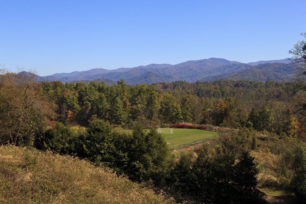
Some of the mountains have bald tops but elevations do not reach high enough to support the spruce-fir forests found at some higher elevations in the Blue Ridge Mountains. As the peaks are surrounded by more dramatic mountains of the Blue Ridge and Great Smoky Mountains, the hikes in this range tend to have a greater emphasis on relaxed scenic walks and wildlife viewing rather than strenuous climbs.

The Walnut Mountains occupy a section of the Blue Ridge Mountains which is part of the greater Appalachian range. The Blue Ridge Mountains, at more than one billion years old, are some of the world’s oldest mountains. They began forming about 1.1 billion years ago and continued to develop until about 250 million years ago as a result of uplift from tectonic plates.
The Blue Ridge spans eight states from Pennsylvania to Georgia. It is narrow in the north but widens to the south with the widest point measuring about 70 mi (115 km) across in North Carolina.
The Walnut Mountains and surrounding Blue Ridge are composed of deformed metamorphic rocks. These schists, gneisses, slates, and quartzites date from the Precambrian and feature extensive igneous intrusions. Along the western boundary, the Blue Ridge province is separated from the Valley and Ridge province by thrust faults.
Mineral resources can be found throughout the Blue Ridge mountains. For example, the Spruce Pine district in North Carolina is one of the country’s top feldspar producers and other regions have copper and mica.
The Blue Ridge Mountains in North Carolina, and all subranges they include such as the Walnut Mountains, support a diverse array of biodiversity. Across the region, more than 4,000 species of plants, 2,000 species of fungi, and 500 species of mosses and lichens have been documented.
Because the Walnut Range barely exceeds 4,000 ft (1,220 m), there is no spruce-fir present as can be found above 5,500 ft (1,675 m) on other Blue Ridge summits. Rather, higher elevations in the Walnut Mountains feature hardwood species such as yellow birch, American beech, and mountain maple. Rhododendrons, hobblebush, and yellow buckeye also grow well here.
At lower elevations, pine, oak, and hickory species including Virginia pine, pitch pine, Table Mountain pine, red oak, chestnut oak, and pignut hickory dominate. They can be found at higher elevations on slopes and ridges that are fairly dry.

Hemlocks in the forest are currently being affected by hemlock wooly adelgid, an introduced aphid. Historically chestnut trees thrived in this region. Around 1910, an introduced fungus decimated chestnut populations, leaving behind only young sprouts that rarely grow to full size.
Black bears, bobcats, white-tail deer, foxes, groundhogs, raccoons, skunks, river otters, rabbits, and squirrels are some of the area’s most common mammals. Waterfowl, migratory birds, and birds of prey such as hawks, falcons, and owls live throughout the range.
The earliest signs of human activity in the region date as far back as about 12,000 years ago. In more recent history, the Cherokee occupied the Blue Ridge Mountains. They claimed an extensive territory that ranged from the Ohio River to Alabama and numbered possibly as many as 25,000 people prior to the arrival of European settlers and explorers.
The Cherokee practiced agriculture with corn, beans, and squash as their primary crops. Hernando DeSoto, the first Spanish explorer, arrived in 1540 – the start of a wave of Spaniards searching for gold. Along the way, they took slaves and spread fatal diseases like measles and smallpox amongst the Native population.
The Cherokee maintained productive, though occasionally strained, trade with Europeans during the 17th and early 18th century. They sided with the British during the Revolutionary War and, following the British defeat, lost much of their land in western North Carolina. They managed to assimilate to a certain extent by establishing schools, churches, and a written language.
1838 and 1839 saw a new policy that forced the removal of the Cherokee from their homes in Georgia, North Carolina, and Tennessee. They were sent to reservations in Oklahoma on a grueling journey known as the Trail of Tears where possibly as much as half the people died on the trail or within the first year of arriving.
The Walnut Mountains are relatively low compared to nearby hikes in the Blue Ridge and Smoky Mountains. However, several peaceful and easy hikes allow visitors to appreciate the region’s wildlife, fertile landscape, and waterways.
The hike to Bailey Ridge is located in the Bailey Mountain Preserve north of the town of Mars Hill. The trail is 4.4 mi (7.1 km) out and back and is considered a moderately easy hike. The well-maintained path begins in an open area that is popular among birders. It then passes into the forest, punctuated frequently by benches and marked by yellow blazes. About 2 mi (3.2 km) in, the trail becomes slightly steeper as it summits.
The Laurel River Trail is located near Hot Springs, North Carolina. It is 7 mi (11.3 km) out and back and relatively flat as it follows the Big Laurel River. Along the way, the trail passes rapids, trout pools, swimming holes, and a handful of great camping spots. It is particularly scenic in the spring when wildflowers burst into bloom. Bikes are allowed on the trail although there are a few sections that are rocky.
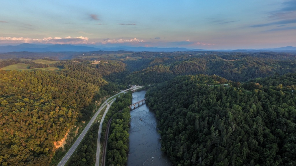
Towns such as Mars Hill and Marshall are adjacent to the Walnut Mountains and offer basic accommodation and amenities. Camping opportunities are abundant in the area and the surrounding national forest. Asheville, North Carolina and Knoxville, Tennessee are larger cities nearby.
Asheville, North Carolina has a population of 95,000 people. Nestled into the Blue Ridge Mountains, the Blue Ridge Parkway and dozens of hikes and campsites lie in the city’s backyard. The Biltmore Estate is a top attraction. The 250 room mansion and 8,000 acre (3,240 ha) estate was once home to a member of the Vanderbilt family. Today, both the home and grounds can be toured, and it houses a winery, shops, restaurants, and upscale accommodation.
Those looking to get a sense of the city can spend a half or full day on Asheville’s Urban Trail. This 1.7 mi (2.7 km) curated route takes visitors by 30 stations with art and plaques telling some of the city’s most influential historical and cultural stories.

Farmers markets abound and restaurants strive to incorporate local ingredients where possible, bringing diners a wide range of cuisines with fresh flavor. Accommodation options include hotels, resorts, cabins, B&Bs, campgrounds, and hostels.
Home to just over 190,000 people, Knoxville, Tennessee has both outdoor and cultural options for those looking to stay over and explore in the area. The city has more than 50 mi (80 km) of urban trails and greenways. Most of these trails are mixed use except for foot traffic only trails at Ijams Nature Center and Mead’s Quarry. The French Broad, Holston, and Tennessee Rivers flow nearby and are popular spots for paddling.
There are numerous spots around town to find live music and explore local museums. Check out Market Square – a hub for restaurants, bars, and live music. Another neat neighborhood is the historic Old City where independent and artsy new venues blend with historic charm.

Knoxville chefs place a big emphasis on local ingredients while providing both classic breweries and pub food, as well as a variety of cuisines. The city offers hotels, scenic cabins, cozy B&Bs, campsites, and RV parks for those planning to stay overnight.


