Get PeakVisor App
Sign In
Search by GPS coordinates
- Latitude
- ° ' ''
- Longitude
- ° ' ''
- Units of Length

Yes
Cancel
❤ Wishlist ×
Choose
Delete
The Granatspitze Group (Granatspitzgruppe) is a subgroup of the High Tauern (Hohe Tauern) in the Eastern Alps. Overshadowed by neighboring Großglockner (3,798 m / 12,461 ft) and Großvenediger (3,657 m / 11,998 ft), the Granatspitze Group is one of the best places to see the finest peaks in High Tauern National Park without encountering large crowds. There are 127 named mountains in the Granatspitze Group. The highest and most prominent mountain is Muntanitz (3,232 m / 10,603 ft).
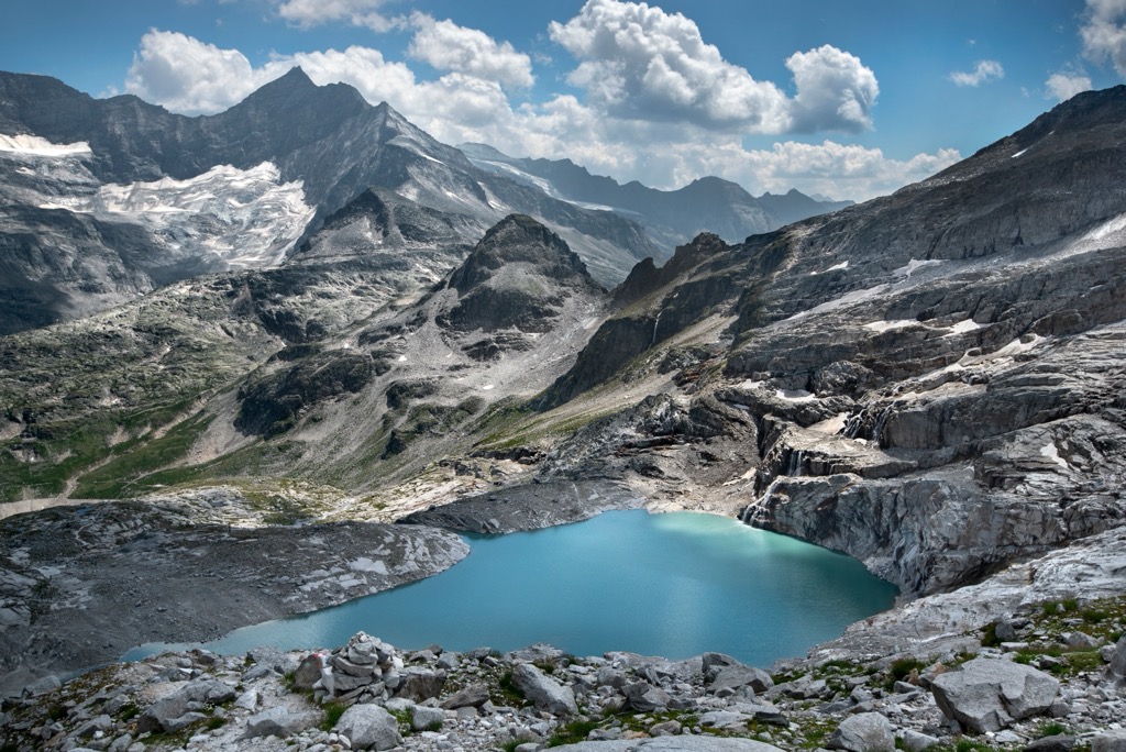
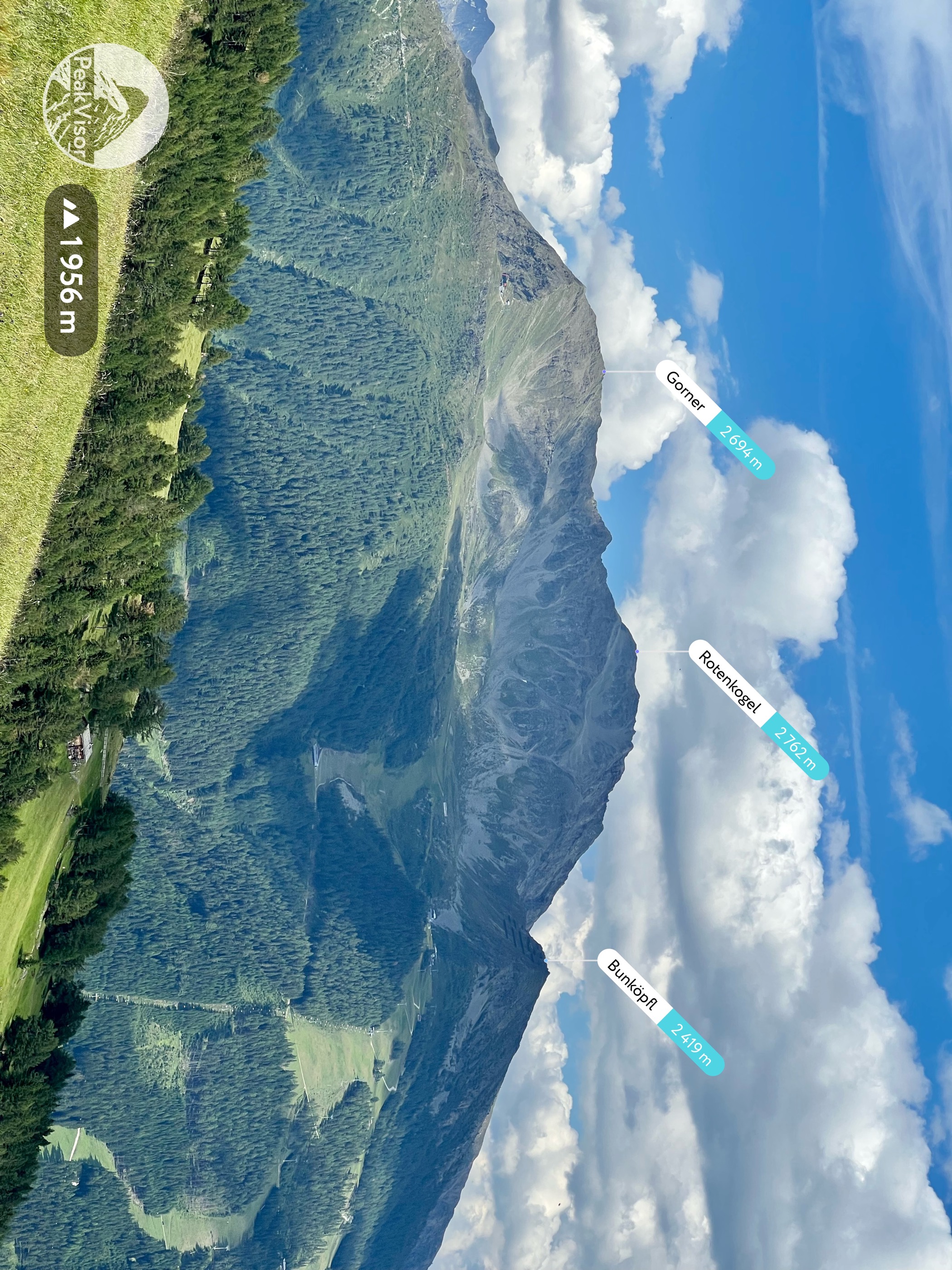
The Granatspitze Group is a narrow mountain subgroup consisting of a main ridge that runs for roughly 40 km (25 mi) from the Birkkogel (2,269 m / 7,444 ft) in the north to the Rotenkogel (2,762 m / 9,062 ft) in the south.
Several side ridges branch off to the east and west of the Granatspitze Group's main ridge. At its maximum, it's less than 10 km (6 mi) wide between Felber Tauern (2,464 m / 8,087 ft) and Enzingerboden. The subgroup is located entirely within Austria and is split between the states of Salzburg and Tyrol.
Sandwiched between the Glockner Group to the east and the Venediger Group to the west, the Granatspitze Group is at the heart of the High Tauern. To the north of the Granatspitze Group are the Kitzbühel Alps, with the Schober Group to the southeast and the Villgraten Mountains to the southwest.
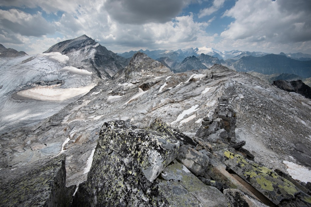
The Granatspitze Group includes 14 named three-thousanders, none of which exceed 3,250 m (10,662 ft) in elevation. The subgroup takes its name from the mountain of the same name, despite Granatspitze (3,086 m / 10,125 ft) being the subgroup's sixth-highest summit. Its recognition is due to its historical importance, central location, and heavy glaciation.
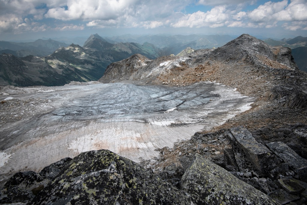
The Granatspitze Group is lightly glaciated compared to the rest of the High Tauern. Three of its main glaciers, Granatspitzkees (2,840 m / 9,318 ft), Prägratkees (2,842 m / 9,324 ft), and Sonnblickkees (2,751 m / 9,026 ft), encircle Granatspitze and neighboring Stubacher Sonnblick (3,087 m / 10,131 ft). Overall, there are 11 glaciers remaining in the Granatspitze Group.
The Granatspitze Group's valleys, including the Kalser Tal and the Matreier Tal, hide several beautiful mountain lakes, including Weißsee, Amertalsee, and Schwarzsee.
There are no settlements within the Granatspitze Group's interior. On its northwestern boundary is the city of Mittersill, with around 5,400 people. Other nearby settlements include Matrei in Osttirol, Utterdorf, and Kals am Großglockner.
Located centrally within the High Tauern, the Granatspitze Group is part of the Tauern Window, a metamorphic rock strata featuring the deepest rocks in the Austrian Alps exposed at the surface. The Tauern Window is approximately 160 km (99 mi) wide, spanning from the Brennerpass (1,370 m / 4,495 ft) in the west to the Katschberghöhe (1,641 m / 5,384 ft) in the east.
The area around Granatspitze consists mainly of gneiss, formed when magma cooled into granite, granodiorite, and tonalite and then transformed through high pressure and temperature. The north and south of Granatspitze are composed mainly of the Habach Series. Named after the Habachtal, the Habach Series comprises lower schist. Granatspitze's summit is primarily granite, as the name would imply.
The Granatspitze Group and the rest of the Alps formed approximately 66 million years ago during the Alpine Orogeny. This mountain-building event occurred when the African, Arabian, Indian, and Cimmerian tectonic plates to the south collided with the Eurasian Plate to the north.
Convergent movement between these tectonic plates created the basis of the Alps and exposed the Penninic rocks that form the Tauern Window. The Alpine Orogeny is a recent event by geological standards and is still ongoing in parts of the Alps. In addition to the Alps, the Alpine Orogeny helped form many famous mountain ranges worldwide, including the Himalayas, the Pyrenees, and the Caucasus.
Part of Austria's largest national park, the Granatspitze Group is home to a wealth of flora and fauna.
Over 15,000 animal species live within the High Tauern, accounting for a third of species found in Austria.
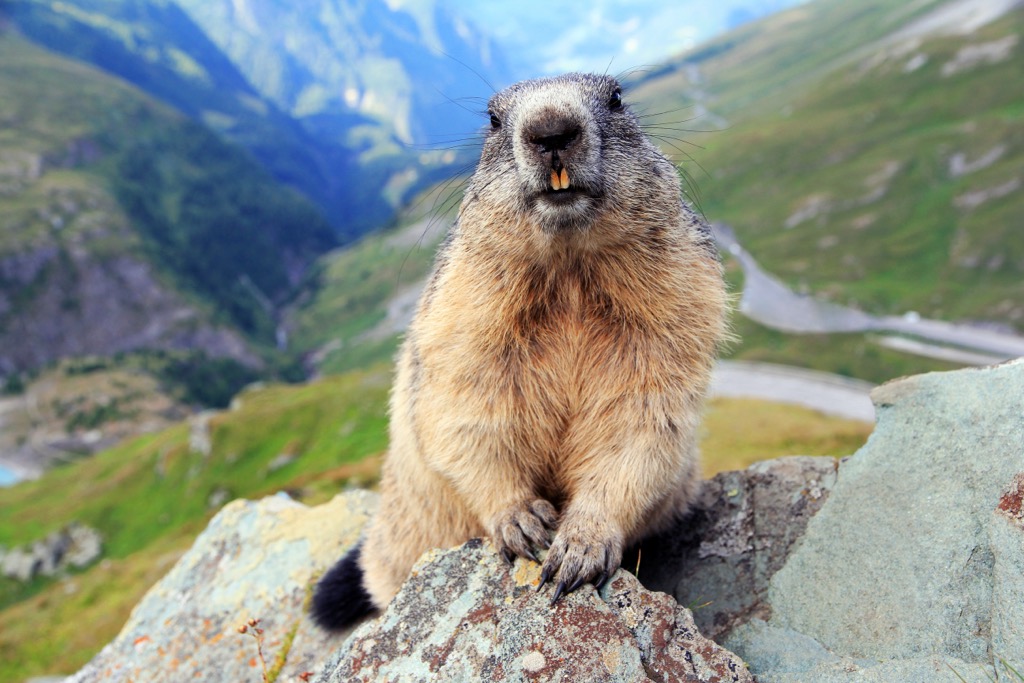
Many iconic alpine mammal species inhabit the Granatspitze Group, including alpine ibex, marmots, and chamois. Other notable mammals include red deer, roe deer, mountain hares, and red foxes. Brown bears, Eurasian lynxes, and gray wolves are seldom seen in the High Tauern and are not residents of the range.
The forests, pastures, and rugged mountain slopes of the Granatspitze Group are ideal habitats for a range of bird species. One popular species among birdwatchers is the golden eagle, which can reach a wingspan of up to 2.1 m (7 feet). There are around 40 breeding pairs in High Tauern National Park.
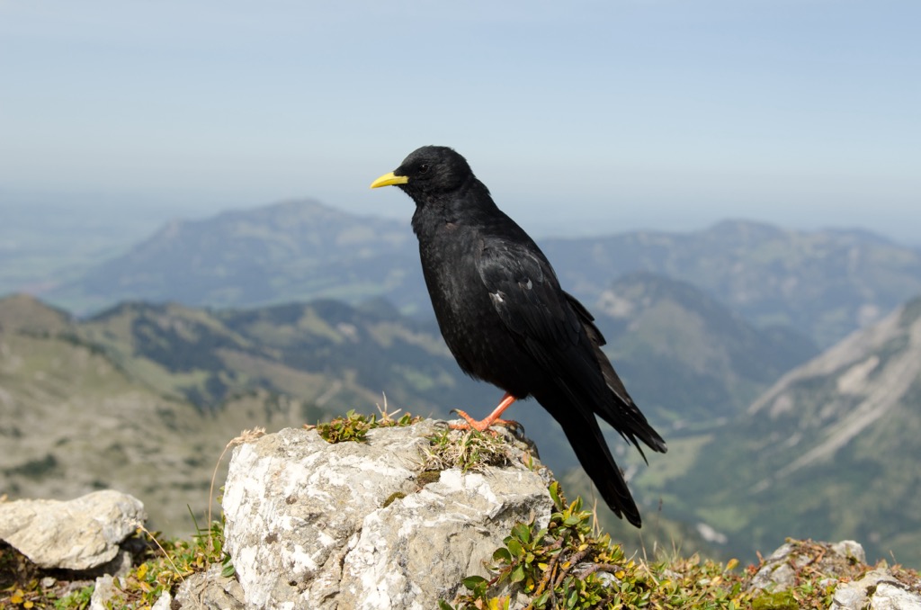
Other notable bird species within the Granatspitze Group include griffon vultures, common buzzards, Eurasian kestrels, rock ptarmigans, yellow-billed choughs, ring ouzels, red crossbills, wallcreepers, and alpine accentors.
Numerous reptile and amphibian species inhabit the High Tauern, some of which are endemic to the Alps, like the alpine salamander. Notable species include alpine newts, common slowworms, and European toads. Common European adders are the only venomous snake native to the Granatspitze Group. Its bite is painful but rarely lethal.
Around 3,500 plant species, including over 1,300 fern and flowering plant varieties, grow across the High Tauern. Austria is one of Europe's most forested countries, and the Granatspitze Group is no exception.
The composition of the High Tauern's forests changes with elevation. Mixed deciduous forests are most common at the lowest elevations within the montane zone, with more spruce trees at higher elevations. Above 1,700 m (5,577 ft) in elevation, the hardier trees, like stone pines, carpet the landscape.
Above 2,300 m (7,545 ft) at the tree line, forests give way to grasslands and tundras interspersed with shrubs. Surprisingly, many vibrant flowering plants blossom on these high alpine grasslands.
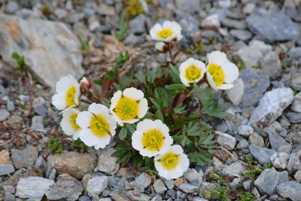
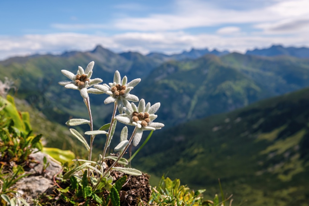
Edelweiss, the National Flower of Austria, is one such flowering plant species. Other notable examples include glacier buttercups, Bavarian gentians, Rudolph's saxifrages, and alpine toadflax.
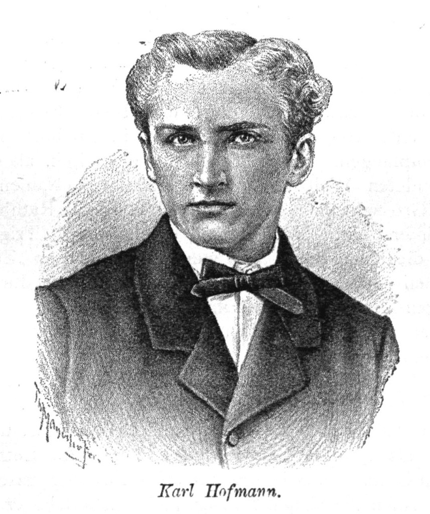
German mountaineer Karl Hofmann first called the Granatspitze Group an independent subgroup in 1871. Until this time, it was considered part of the Glockner Group.
Hofmann considered initially calling the group the Landeck Group, with Großer Landeggkopf (2,900 m / 9,514 ft) as its main summit, but its height was thought to be too insignificant. He eventually settled on the Granatspitze Group, believing that Granatspitze was the ridge's highest and central summit.
Many of the first ascents within the Granatspitze Group occurred around the same time it was designated as a separate subgroup. Arthur von Schmid and his guide Thomas Groder made the first ascent of Großer Muntanitz (3,232 m / 10,603 ft) on September 2nd, 1871.
Groder was also Victor Hecht's guide for the first tourist ascent of Luckenkogel (3,100 m / 10,171 ft) in 1871, made via Luckenwand to the southeast. Surveyors are credited with the first actual ascent of Luckenkogel in 1870.
Arthur von Schmid and noted Austrian theoretician Gustav Demelius became the first climbers to scale the Stubacher Sonnblick on August 24th, 1871. They were accompanied by local guides Johann Gräfler and Kaspar Gorgasser.
In 1981, over a century after many of its first ascents, the Granatspitze Group and the surrounding subgroups were designated part of the High Tauern National Park. It's one of Europe's largest protected areas, covering roughly 1,856 sq km (716 sq mi).
The Granatspitze Group is excellent for a quiet hiking adventure. However, its lack of busy tourist areas means it's less developed than the neighboring Venediger Group and Glockner Group, with fewer marked paths, huts, and amenities.
As a result, you should come well-prepared with plenty of provisions and appropriate gear when hiking in the Granatspitze Group. Check local weather forecasts, map out your route carefully, and inform others of your itinerary.
You can learn more about the UIAA climbing scale mentioned in this guide here.
At PeakVisor, we love information. That’s why we write articles like this one.
For even more information on thousands of additional hikes across the Alps, check out the PeakVisor App. In fact, we’ve compiled information on all publicly maintained walking tracks across the world, formatted onto our 3D maps. Surrounded by some of the most popular areas in the Austrian Alps, the Granatspitze Group is at the heart of one of our most thoroughly mapped regions.
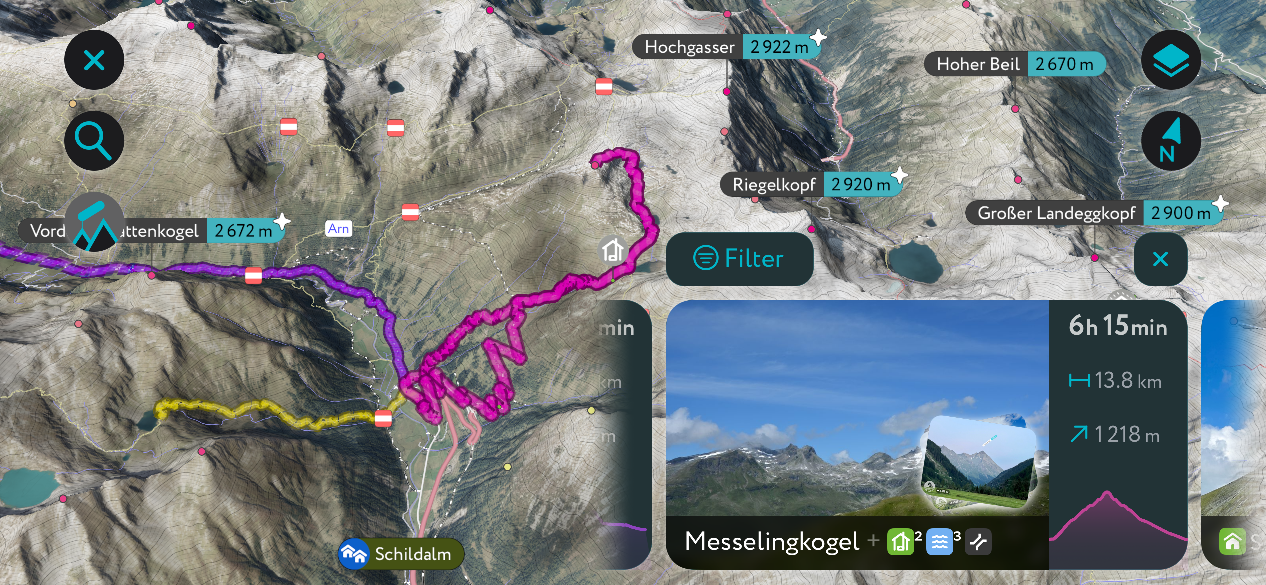
PeakVisor started as a peak identification tool, but we’ve evolved into purveyors of the finest 3D maps available. We continue to expand our offerings. You can track your hikes directly on the app, upload pictures for other users, and keep a diary of all your outdoor adventures.
Most recently, the PeakVisor App has included up-to-date weather reports, including snow depths, at any destination. Plus, we've been hard at work adding the details of hundreds of mountain huts, including information on overnight accommodation, dining options, and opening hours. You can also use our Hiking Map on your desktop to create .GPX files for routes to follow later on the app.
Despite the Granatspitze being the subgroup's namesake, its highest mountain is approximately 6 km (3.7 mi) to the south. Muntanitz is composed of an attractive south-facing cirque that overlooks Gradötzkees. It has two summits: Großer Muntanitz (3,232 m / 10,603 ft) and Kleiner Muntanitz (3,192 m / 10,472 ft).
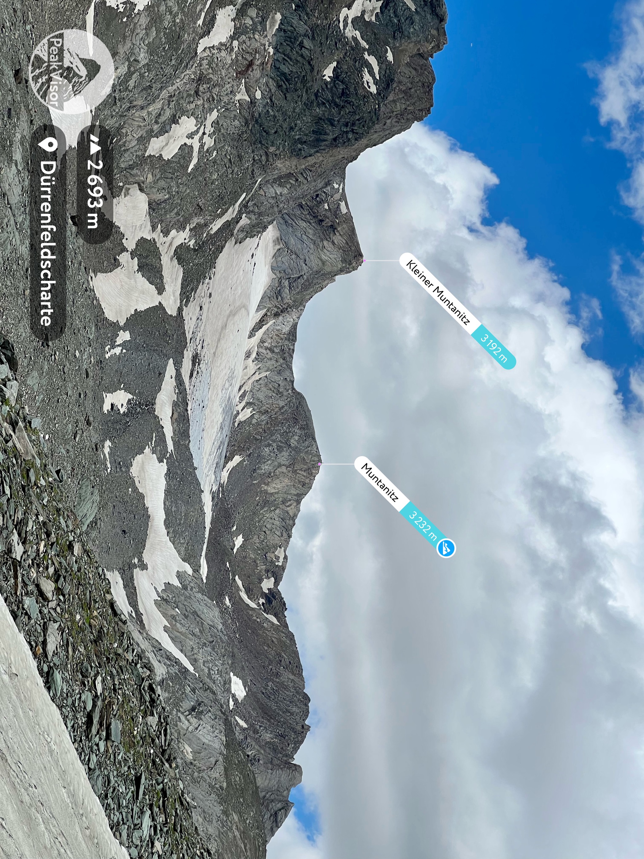
Muntanitz casts an impressive shape when viewed from Kals but is often ignored in favor of its more dramatic neighbor, Kendlspitze (3,085 m / 10,121 ft). Regardless, Muntanitz is a popular and easy mountain to climb, providing uninterrupted views of Großglockner and Großvenediger.
The normal route to Muntanitz, the Karl-Schöttner-Weg, starts from the Sudetendeutsche Hütte (2,650 m / 8,694 ft) via the Wellachköpfe (3,127 m / 10,259 ft). There are several ways to reach the Sudetendeutsche Hütte — one popular route is from the Parkplatz Glanz just northeast of Matrei.
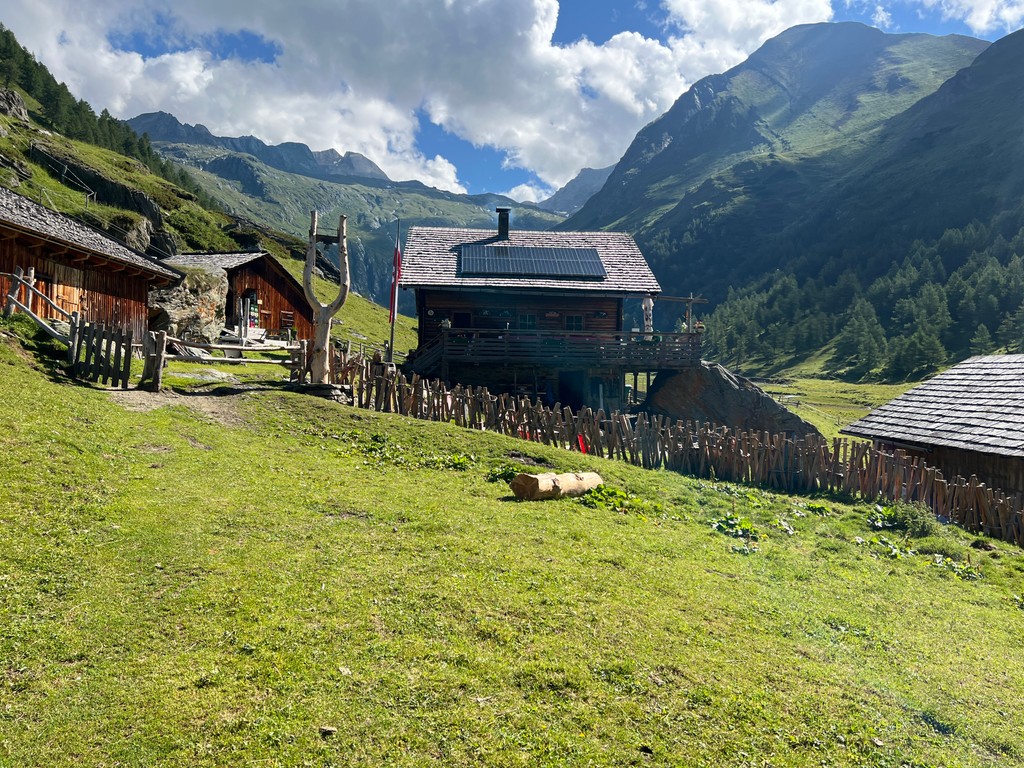
This route leads past the Köfler-Alm (1,808 m / 5,932 ft) and the Äußere Steiner Alm (1,914 m / 6,280 ft) to reach the Sudetendeutsche Hütte. You'll then ascend Wellachköpfe's two northern summits and Kleiner Muntanitz to reach Großer Muntanitz. Return the way you came.
Several areas of this route are exposed and rope-secured, so a head for heights and surefootedness is required. This route is long, so we recommend you spend a night at the Sudetendeutsche Hütte. From Glanz to Großer Muntanitz, it's approximately a 22.5 km (14 mi) round-trip.
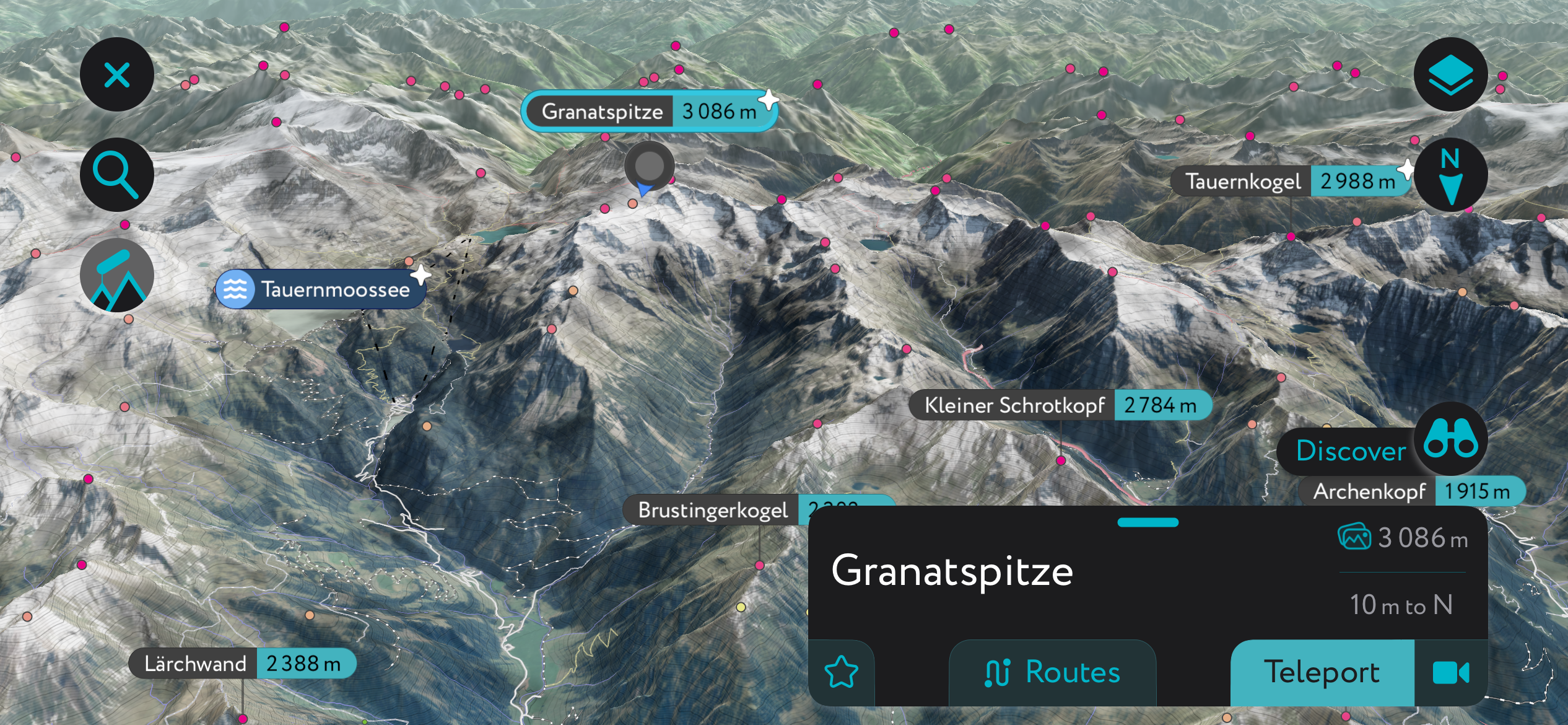
The namesake of the Granatspitze Group, Granatspitze (3,086 m / 10,125 ft), is often mistaken as its highest summit. Despite being only just within the sixth highest mountain in the subgroup, its central location and stunning surrounding glaciers make it a popular destination.
Granatspitze's central position means it provides one of the best views north and south along the Granatspitze's main ridge and of the neighboring Venediger Group and Glockner Group. Thanks to its glaciers, Granatspitze is popular in winter and summer.
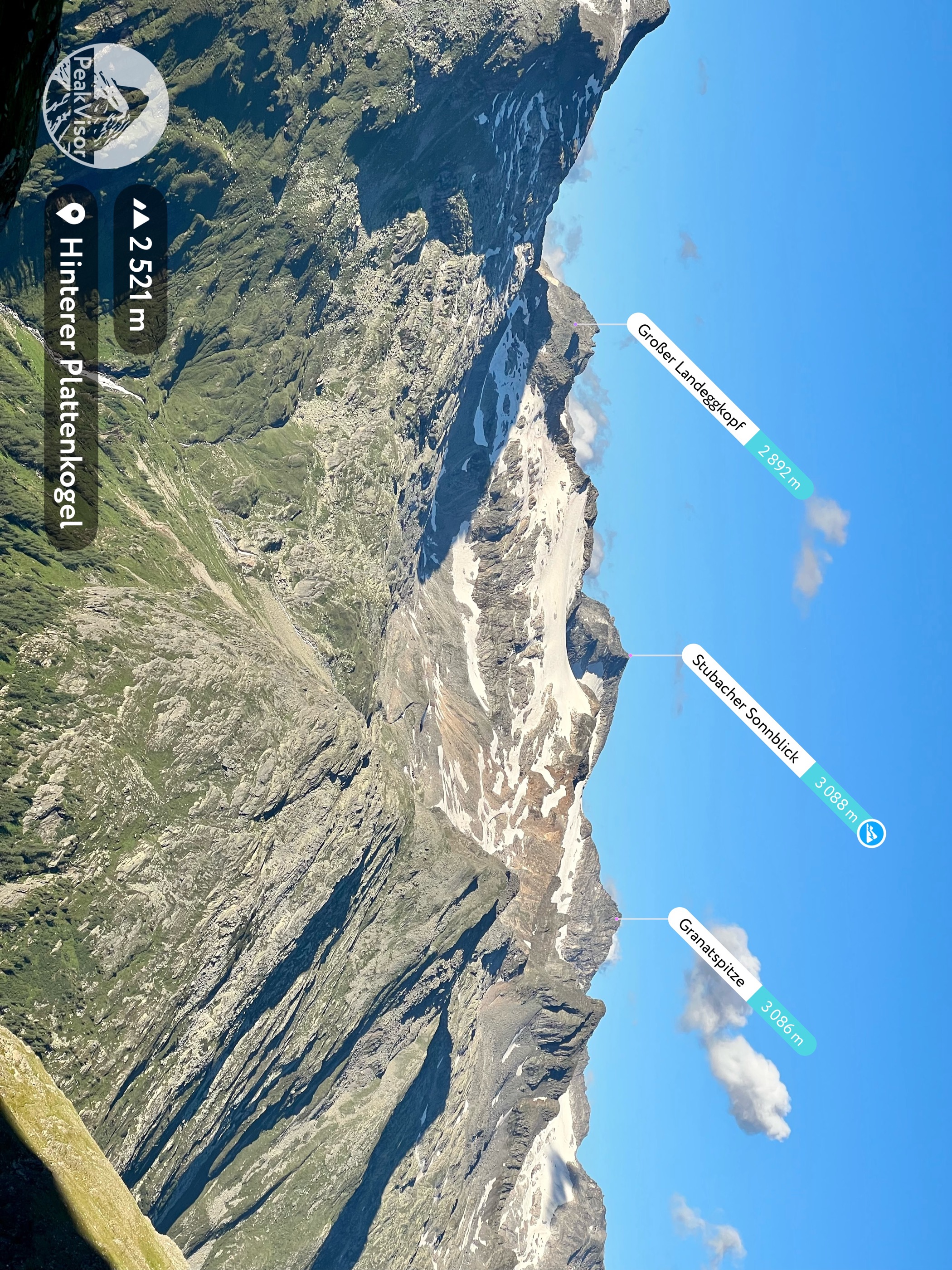
The easiest normal route to Granatspitze begins from Rudolfshütte (2,314 m / 7,595 ft) to the east on the shores of Weißsee. You'll walk along the southern edge of Weißsee before climbing its eastern slope.
From Granatspitze, experienced mountaineers may want to extend their hike to Stubacher Sonnblick (3,088 m / 10,131 ft) to the north. It's a popular yet tricky climb, with glacier climbing gear needed to reach the saddle between the summits, Granatscharte (2,945 m / 9,665 ft). From here, you can climb along the ridge and up its gravelly southeastern slope.
Descend the way you came. This hike includes a UIAA II-graded climb. The hike from Rudolfshütte to Granatspitze is approximately an 8 km (5 mi) round-trip.
Gradötzkogel (3,063 m / 10,049 ft), also known as simply Gradötz, is one of the easiest 3,000ers to climb in the Granatspitze Group. It's snow-free for a significant chunk of the year and requires no special hiking equipment to scale. The summit provides one of the best close-up views of Muntanitz and the Wellachköpfe.
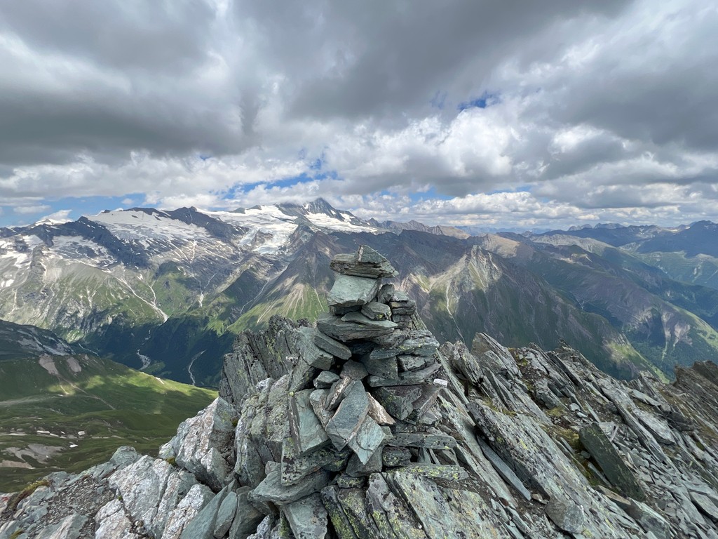
Gradötzkogel is also popular with hikers due to its proximity to the Sudetendeutsche Hütte (2,650 m / 8,694 ft), less than 1.5 km (1 mi) to the west. However, the easiest way to reach Gradötzkogel is via the Dürrenfeldscharte (2,823 m / 9,262 ft).
You can reach Dürrenfeldscharte from Spöttling-Taurer, following the trail that leads by Pahlalm (2,136 m / 7,011 ft) and over Hohes Tor (2,477 m / 8,127 ft).
From Hohes Tor, the Sudetendeutscher Hohenweg leads most of the way to the summit. Descend the way you came. The hike from Spöttling-Taurer to Gradötzkogel is approximately a 6 km (3.8 mi) round-trip.
To the south of Gradötzkogel, connected by a long ridge, is Kendlspitze. It's a craggy and appealing mountain to climb, comprising two connected peaks: Vodere Kendlspitze (3,085 m / 10,121 ft) and Hintere Kendlspitze (3,080 m / 10,105 ft).
Kendlspitze is unique as it's made of a highly brittle type of slate called kalki glimmerschiefer, which breaks underfoot. As a result, some of the slopes of Kendlspitze resemble fine sandy beaches instead of rocky mountainsides.
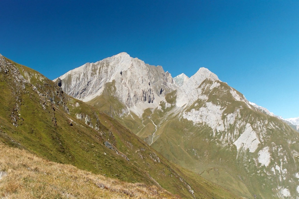
There are several routes to Kendlspitze, including from Spöttling-Taurer. But if you want to avoid uphill climbing as much as possible, you can ride the Glocknerblickbahn up to the Blauspitz (2,296 m / 7,536 ft) cable car station.
From the cable car station, the trail leads over Hohes Tor and onto Dürrenfeldscharte. You'll climb to the summit of Vodere Kendlspitze via its northern ridge. Descend the way you came. This hike from the Blauespitze cable car station to Kendlspitze is approximately an 11 km (7.2 mi) round-trip.
The short, leisurely walk up the southern slopes of Blauspitze (2,575 m / 8,448 ft) rewards you with views of Großglockner and the Großvenediger without exerting too much effort. You'll need a head for heights and surefootedness despite Blauspitze being one of the more accessible mountains to scale in the Granatspitze Group.
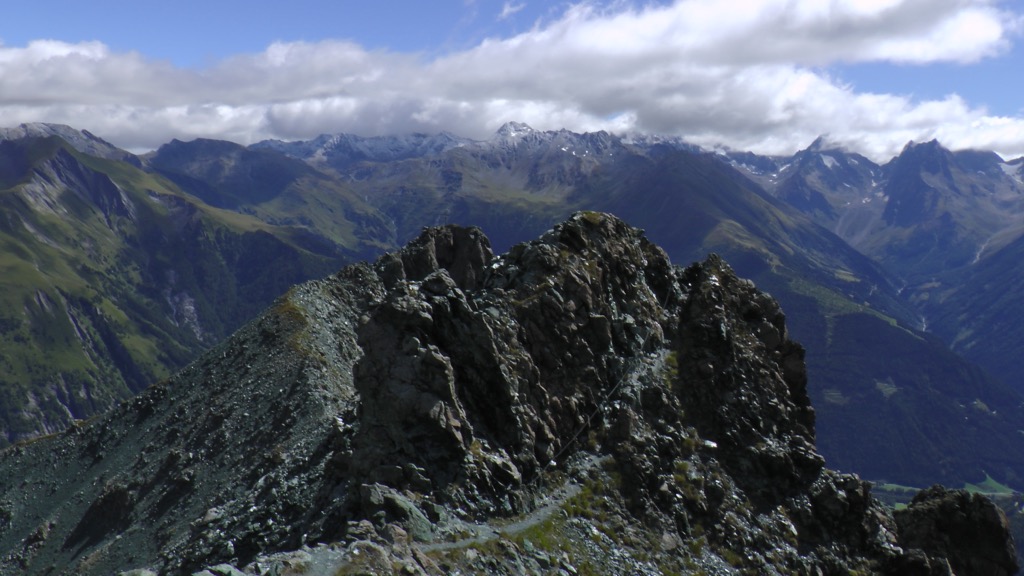
You can start this hike from the Kalser Gondelbahn 2nd Station, walking north to Kalser Hohe. Follow trail 24 past Ganotzkogel (2,528 m / 8,294 ft) and Weißer Knopf (2,577 m / 8,455 ft) to reach Blauspitze.
Descend by turning right below the summit to the mountain's northern side and follow the Aussig-Teplitzer-Weg clockwise to the east side of Blauspitze to head back to your starting point. This hike to Blauspitze is approximately an 8.5 km (5.2 mi) round-trip.
The Großglockner Resort Kals-Matrei is the main ski resort in the Tyrolean half of the sub-group, with 40 km (25 mi) of slopes and 12 lifts. Another smaller ski resort, Weißsee Gletscherwelt in Salzburg, has 23 km (14 mi) of slopes and eight ski lifts.
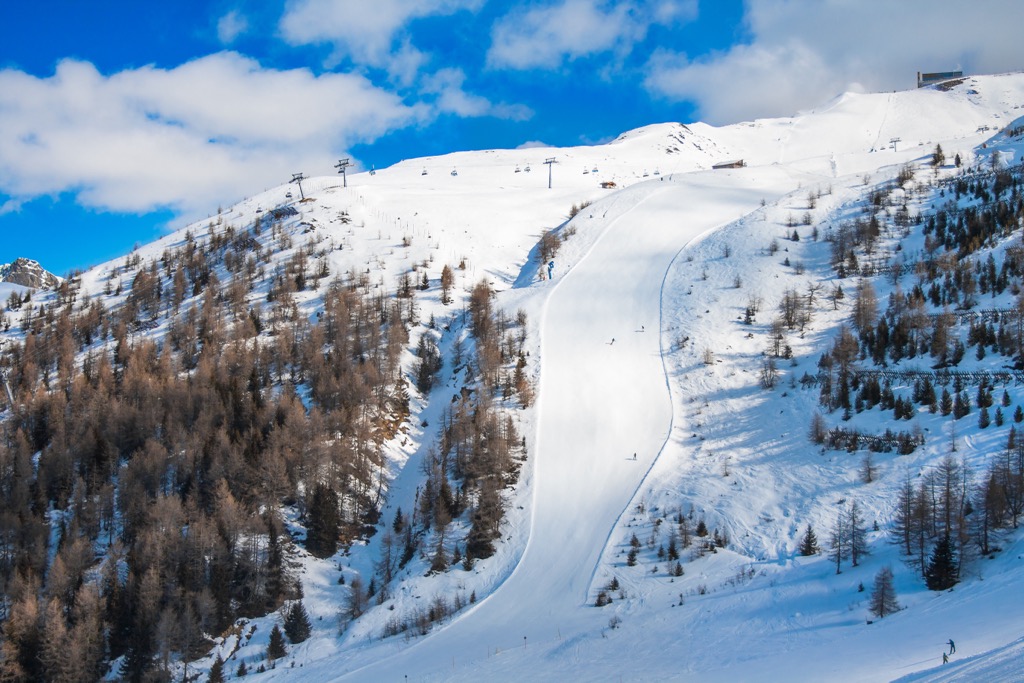
Home to several attractive glaciers and snow-capped mountains, the Granatspitze Group is an appealing destination for ski tours away from the hustle and bustle.
Here's a quick breakdown of a couple of popular ski tours in the Granatspitze Group and a few of the PeakVisor App's features that make it perfect for planning an off-piste ski adventure.
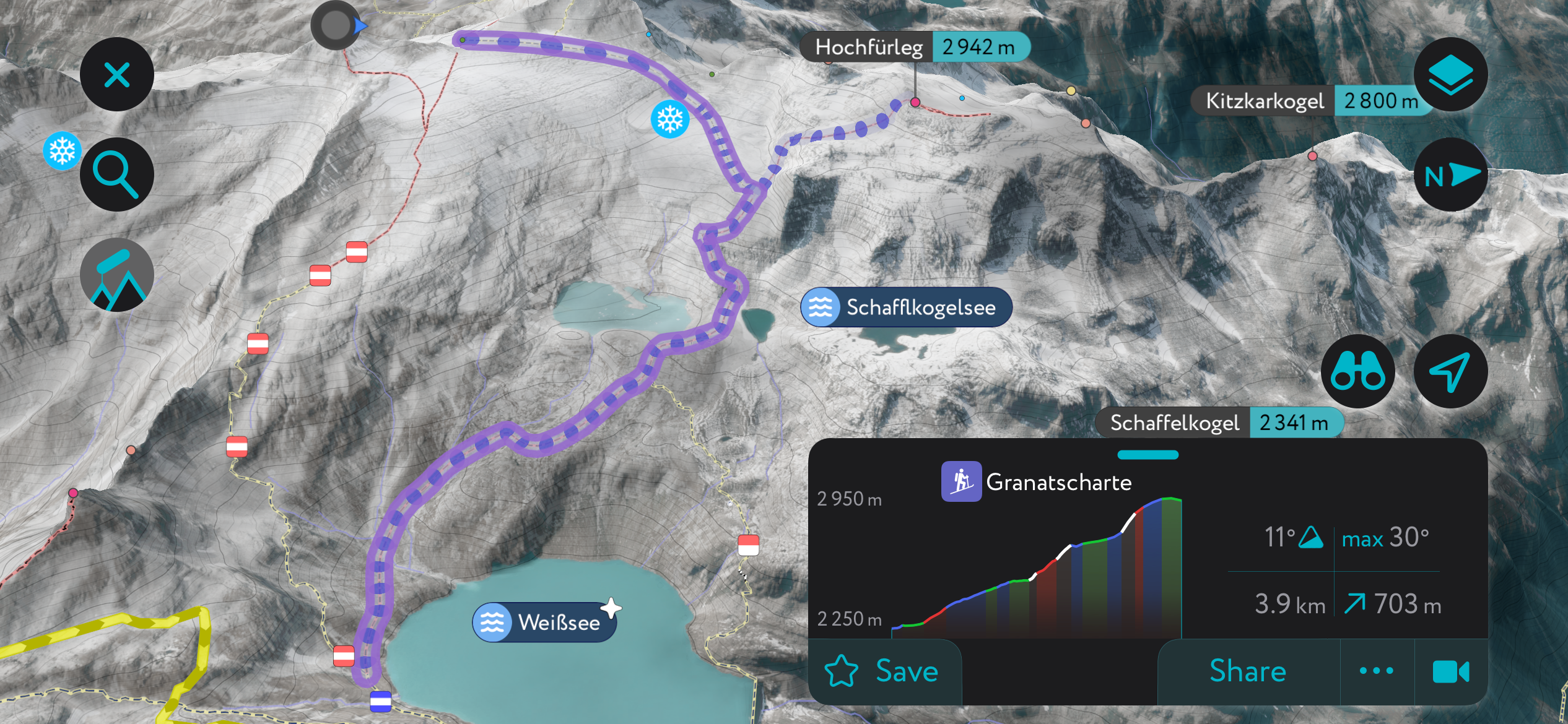
Granatspitze, with its three surrounding glaciers, is equally popular with hikers and skiers. As with Granatpitze's hiking tour, you'll begin your ski tour from the Rudolfshütte (2,314 m / 7,595 ft).
It's possible to undertake a circular ski tour of Granatspitze, ascending Sonnblickkees (2,751 m / 9,026 ft) to Granatscharte (2,945 m / 9,665 ft). From the saddle, you'll walk on crampons to Granatspitze's summit. You'll descend along the ridge to the southeast, along the north slopes of Tauernkogel (2,683 m / 8,802 ft).
This circular ski tour of Granatspitze is approximately 9.5 km (6 mi) long.
The Granatspitze's southern mountains, especially between Kendlspitze and Ganimitz (2,785 m / 9,137 ft), provide some of the best skiing terrain in the subgroup. This ski tour leads through the Kalser Tal to Graue Scharte (2,976 m / 9,764 ft) and Stellachwand.
You can pick up this tour from the Wanderhotel Taurerwirt in Spöttling-Taurer at the end of the Kalser Tal. Follow the signposted paths towards Kehrer Alm, crossing the stream via a bridge at around 1,800 m (5,905 ft) in elevation.
You'll then pass Pahlalm (2,137 m / 7,011 ft) to reach Graue Scharte, where there's a picturesque cirque to explore. Take care, as the valley's eastern side is prone to avalanches. Descend via Kehrer Alm's forest trail. This ski tour to Graue Scharte is approximately 8 km (5 mi) out and back.
The settlements of the Granatspitze Group, bordered by some of Austria's highest mountains, provide fine views of the High Tauern.
Innsbruck Airport is the nearest international airport to the Granatspitze Group, located approximately 165 km (102 mi) west of Matrei in Osttirol.
Mittersill is the largest city near the Granatspitze Group, with a population of over 5,400. Resting on the Salzach River on the Granatspitze Group's northwestern edge, it provides easy access to the High Tauern to the south and the Kitzbühel Alps to the north.
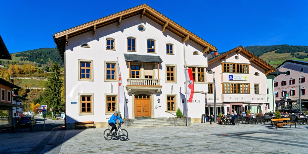
Mittersill is popular with skiers. The recently built Panoramabahn cable car connects Mittersill to the Kitzbühel Ski Area. Mittersill is close to the Kitzsteinhorn (3,203 m / 10,509 ft) and the Gipfelwelt 3000, home to Salzburg's highest viewing platform and restaurant.
Mittersill is connected by train to Zell-am-See, Sankt Johann, and Kitzbuhel.
Matrei in Osttirol is a market town on the western boundary of the Granatspitze Group with over 4,600 residents.
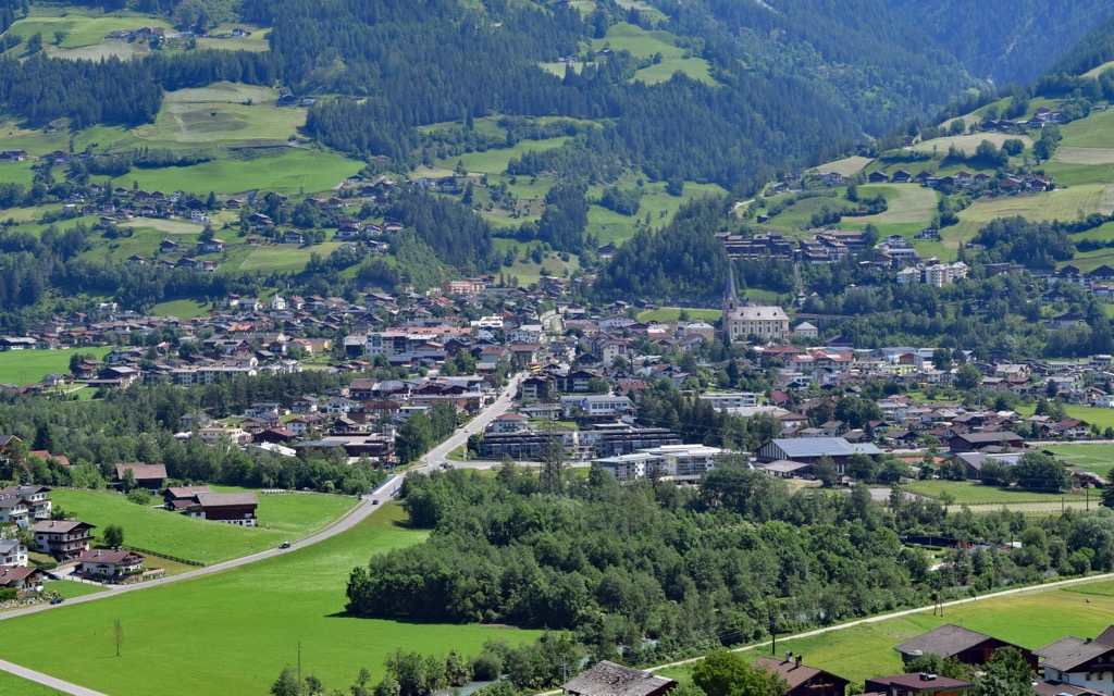
It's an excellent base for hikers and skiers — the Großglockner Resort Kals-Matrei borders Matrei to the east, and Großvenediger is located less than 20 km to the northwest.
Popular nearby mountains within the Granatspitze Group to Matrei in Osttirol include Blauspitze, Kendlspitze, and Gradötzkogel.
Kals am Großglockner is a municipality between the Granatspitze Group and the Glockner Group, constituting 11 villages and locales, including Großdorf, Lesach, and Arnig. It has a population of roughly 1,100.
Kals is on the opposite side of the Großglockner Resort Kals-Matrei to Matrei, offering easy access to popular ski areas like Blauspitze. Over 100,000 people visit Kals annually to ski its slopes. Located within the Kalser Tal, Kals boasts stunning views of Großglockner and Kendlspitze.
Explore Granatspitze Group with the PeakVisor 3D Map and identify its summits.


