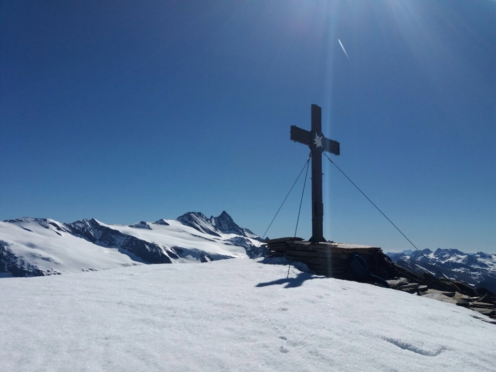
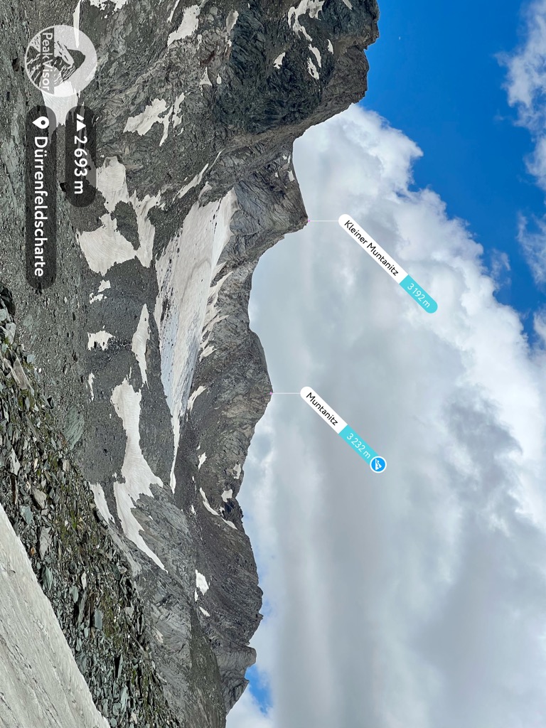
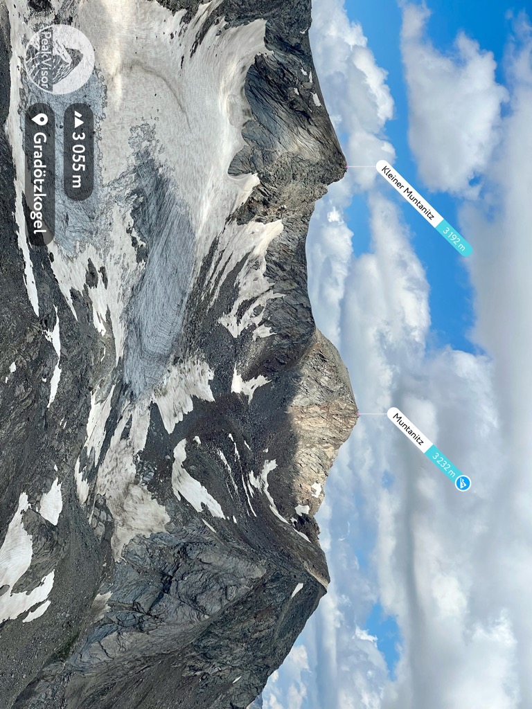
The Großer Muntanitz (3,232m) is the highest mountain in the Granatspitze Group, located between the Venediger Group and the Glockner Group in the High Tauern, Austria.
The mountain is close to Matrei in Osttirol and Kals am Großglockner in Tyrol, and climbs usually start from either village. The summit offers fine views of both Großglockner and Großvenediger.
There's a demading hiking trail (T3) called Karl-Schottner-Weg 535 leading to the summit.
By elevation Muntanitz is
# 86 out of 1318 in High Tauern National Park # 54 out of 1030 in Bezirk Lienz # 1 out of 135 in the Granatspitze Group # 76 out of 1786 in the Hohe Tauern
By prominence Muntanitz is
# 11 out of 3311 in the Western Tauern Alps # 6 out of 1318 in High Tauern National Park # 44 out of 5947 in Tyrol # 5 out of 1030 in Bezirk Lienz # 1 out of 135 in the Granatspitze Group # 5 out of 1786 in the Hohe Tauern
We use GPS information embedded into the photo when it is available.
3D mountains overlay
Adjust mountain panorama to perfectly match your photos because recorded by camera photo position might be imprecise.
Move tool
Rotate tool
Zoom
More customization
Choose which peak labels should make into the final photo and what photo title should be.
Next
Photo Location
Satellitte
Flat map
Relief map
Latitude
Longitude
Altitude
OR
Latitude
°'''
Longitude
°'''
Apply
Register Peak
Peak Name
Latitude
Longitude
Altitude
Register
Teleport
PeakVisor
This 3D model of Sagarmatha National Park in Nepal was made using the PeakVisor app topographic data. The mobile app features higher precision models worldwide, more topographic details, and works offline. Download PeakVisor maps today.
Download OBJ model
PeakVisor
The download should start shortly. If you find it useful please consider supporting the PeakVisor app.
PeakVisor for iOS and Android
Be a superhero of outdoor navigation with state-of-the-art 3D maps and mountain identification in the palm of your hand!