Get PeakVisor App
Sign In
Search by GPS coordinates
- Latitude
- ° ' ''
- Longitude
- ° ' ''
- Units of Length

Yes
Cancel
❤ Wishlist ×
Choose
Delete
Joffre Lakes Provincial Park is in southern British Columbia, Canada, in the Pacific Ranges of the Canadian Coast Mountains. While covering only 1,487 hectares (3, 672 acres), the park encompasses the three beautiful Joffre Lakes, seven peaks, and several glaciers.
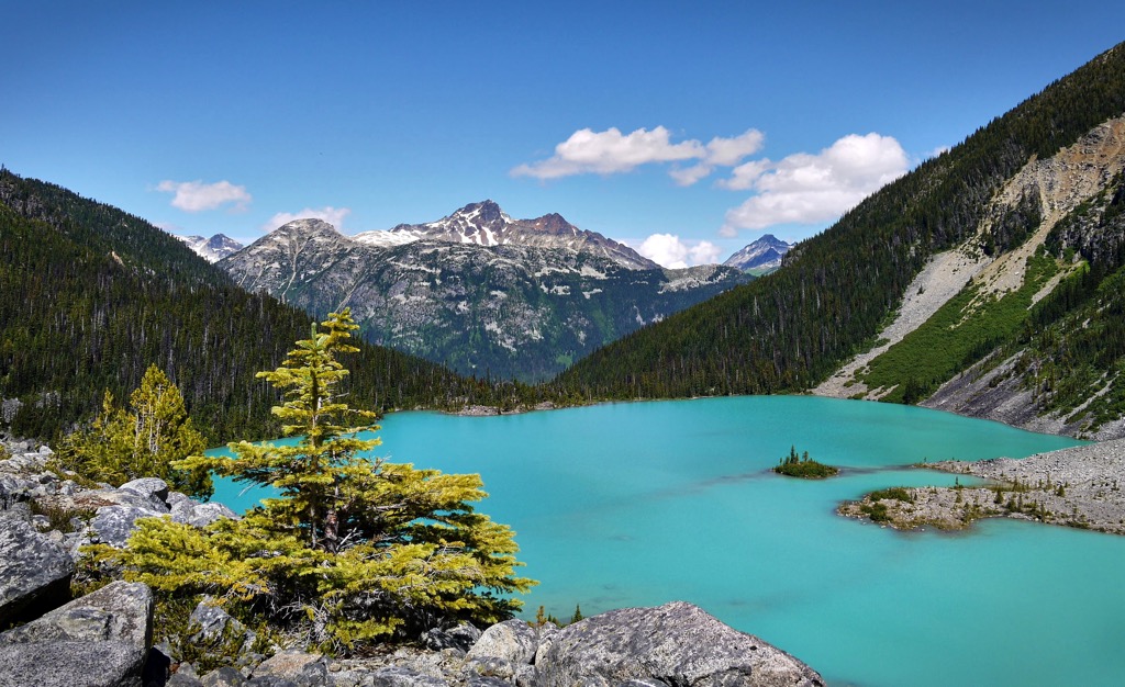
Situated in the Pacific Ranges of southwestern British Columbia, Canada, Joffre Lakes Provincial Park offers several scenic lakes, glaciers, and several challenging peaks. Seven peaks rise above the subalpine forests of Engelmann spruce and subalpine fir, the tallest and most prominent of which is Mount Matier with 2,783 m (9,131 ft) of elevation and 1,241 m (4,072 ft) of prominence.
Joffre Peak is a close second, with 2,721 m (8,704 ft) of elevation. Looking up, towards the glaciers, Joffre Peak is on the left, and clockwise the remaining peaks are Mount Matier, Mount Hartzell, Mount Spetch, Slalok Mountain, Tszil Mountain, and Mount Taylor.
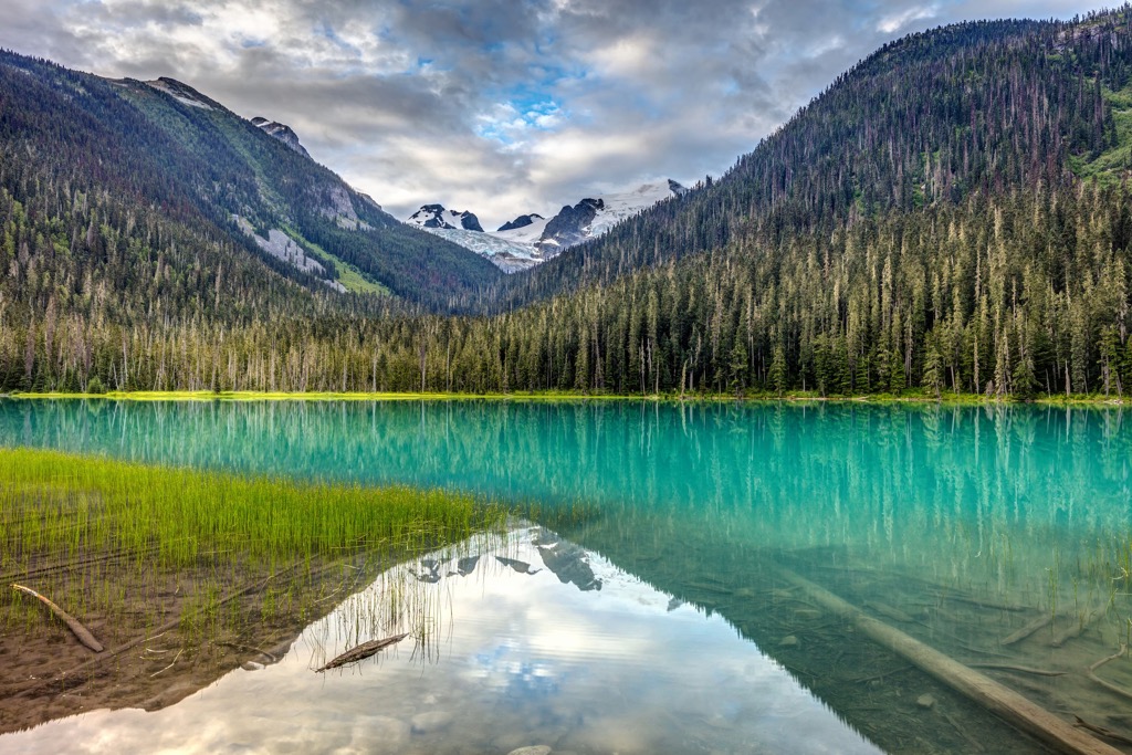
The Matier Glacier is the largest glacier and easily recognized. The Anniversary Glacier is east of the Matier Glacier, filling the valley south of Joffre Peak. West of the Matier Glacier are the Stonecrop and Tszil glaciers.
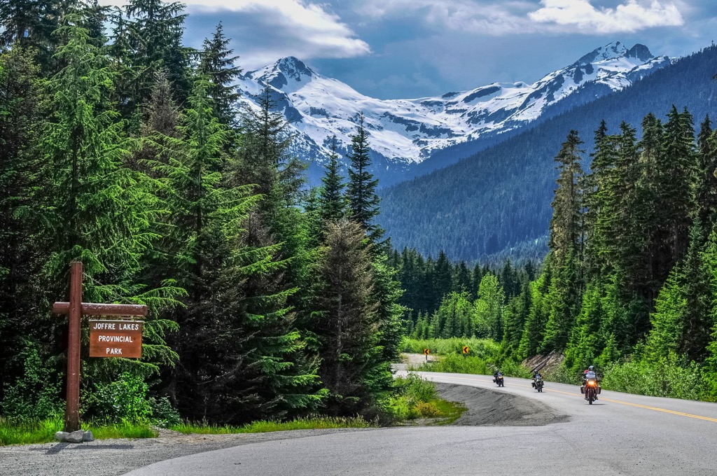
Joffre Lakes Provincial Park is off Highway 99, east of the community of Pemberton, on Duffey Lake Road. The park is adjacent to Nlhaxten / Cerise Creek Conservancy and near several other provincial parks such as:
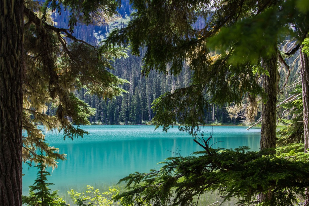
Within the rugged Pacific Ranges of the Canadian Coast Mountains, Joffre Lakes Provincial Park encompasses the stunning beauty of the range in a small area. The high, jagged, ice-capped peaks tower above the forested slopes and glacial U-shaped valleys.
The Canadian Coast Mountains are composed of exotic terranes that accreted to the western edge of Canada around 100 million years ago. Volcanic island arcs and microcontinents which formed out in the Pacific Ocean were added to British Columbia’s coastline when their tectonic plate subducted beneath the continent.
The subduction of the oceanic plate beneath the continent created significant volcanic events across the newly added terrain. Some volcanoes formed as magma erupted onto the surface and the backbone of the coast mountains was created, which is known as the Coast Intrusions.
The Coast Intrusions are the granitic backbone of the Coast Mountains. During the subduction of the Farallon Plate, the crust was thinner in areas and magma intruded into the established layers of rock, creating batholiths.
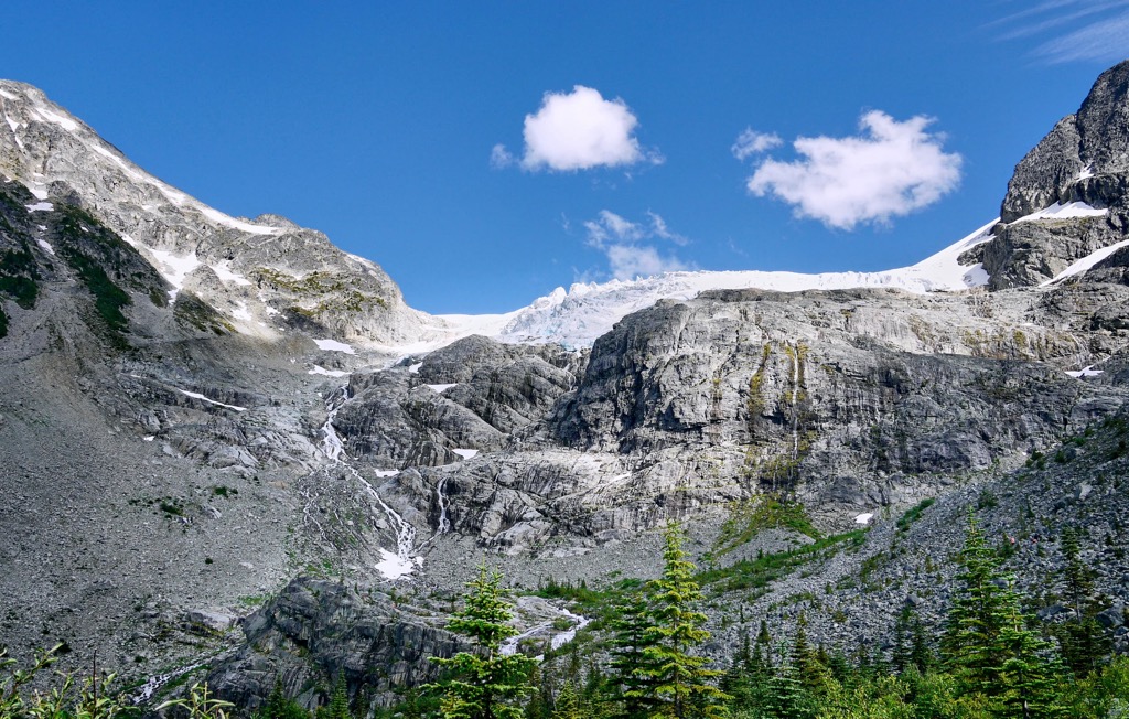
During and after the formation of the Coast Mountains, the upper layers eroded to expose the granite batholiths throughout the range. As such, most of the rocks of Joffre Lakes Provincial Park are granodiorite and quartz diorite, which are typically formed from volcanic intrusions.
Furthermore, glacial activity in the park created its current topography and has left behind evidence of their passing. There are the U-shaped valleys below the glaciers ,caused by the scouring power of the glaciers as they advanced during the Pleistocene.
There are also lateral moraines throughout the park and vast amounts of surface glacial deposits. In the upper lakes area, the talus slopes evidence the massive erosion that occurred.
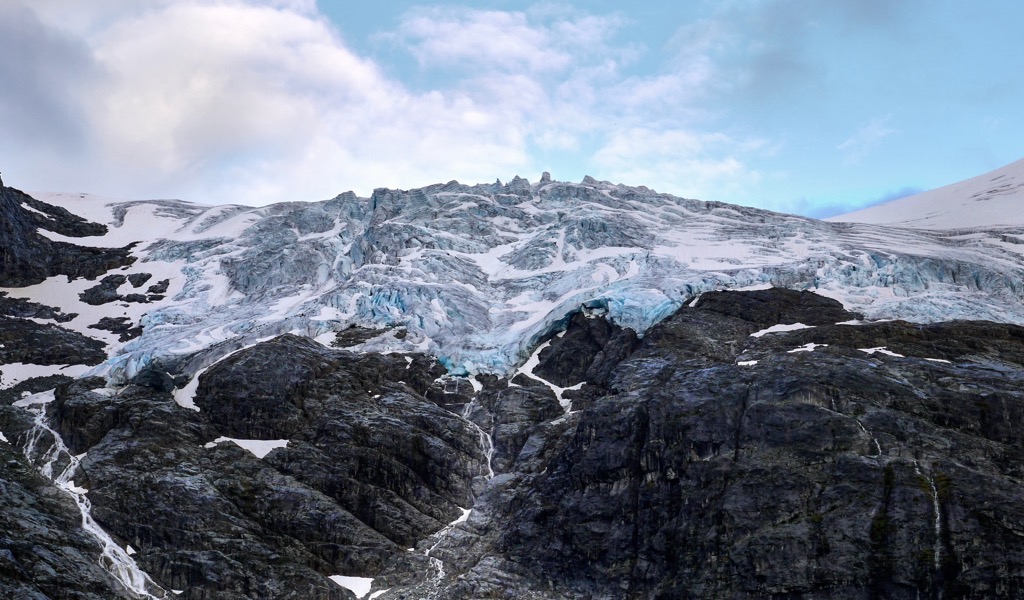
The major ecosystems present in Joffre Lakes Provincial Park are the subalpine Engelmann spruce and subalpine fir forests and the alpine tundra. The peaks of the park are rocky, void of vegetation, and often covered in ice. The presence of glaciers gives evidence of the harsh conditions present at the top of the park.
The lack of soil accumulation makes it difficult for plants to grow in the alpine; however, there are some lichens, bryophytes, and liverworts which have adapted to the harsh conditions. In sheltered areas within the lower alpine zone, white mountain heather, pink mountain heather, as well as some grasses and low growing herbs can be found.
In the subalpine there are old growth forests of Engelmann spruce, subalpine fir, mountain hemlock, and western red cedar. Trees in the park have grown to nearly 40 m (130 ft) tall. Pink mountain heather and huckleberries are the dominant ground cover in the subalpine forests.
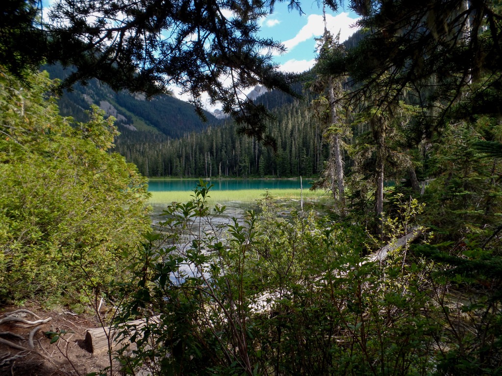
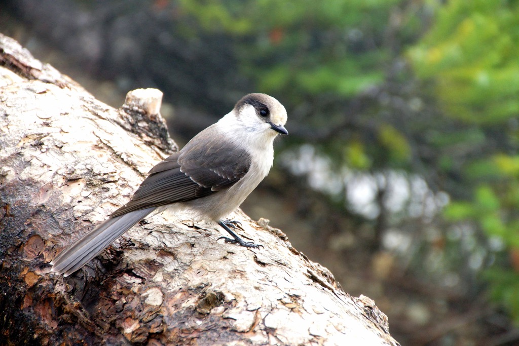
Since the park is quite small compared to the natural range of most larger mammals, there are only a few resident species. The resident species of Joffre Lakes Provincial Park include squirrels, Rocky Mountain pika, and hoary marmots.
Some of the commonly seen animals are mule deer, black tail deer, black bears, and mountain goats which are the primary animals to visit during the summer. Cougars, bobcats, wolverines, and grizzly bears territorially roam the park; however, they are seen only rarely.
The traditional territory of the Lilwat Nation and N’Quatqua encompasses Joffre Lakes Provincial Park. The park is a place where indigenous people connect with the land and are able to carry out traditional, cultural, and spiritual practices. Furthermore, the local indigenous people can hunt, trap, fish, and gather mushrooms and other plants.
The park is part of a vast area that has been inhabited for thousands of years and is likely one of the oldest continuously inhabited regions in North America. There are currently many provincial parks in the region that help preserve the landscape and cultural values.
The nearby conservancies are a special designation of provincial natural areas with the focus of preserving the traditional and cultural values of the local indigenous people.
During the 1960s and 1970s local conservationists and outdoor enthusiasts noted the exceptional recreational values of the wilderness surrounding the Joffre Lakes and proposed the area’s protection. In 1988 the area was established as a recreation area and in 1996 it became an official provincial park. As a provincial park it is protected from commercial and industrial developments.
While there are opportunities for mountaineering and climbing in Joffre Lakes Provincial Park, such adventures should only be had by experienced and well-prepared mountaineers. Though the rugged beauty of the glaciers may beckon to visitors, the glaciers and mountain routes should only be traveled by those with the appropriate experience and preparation.
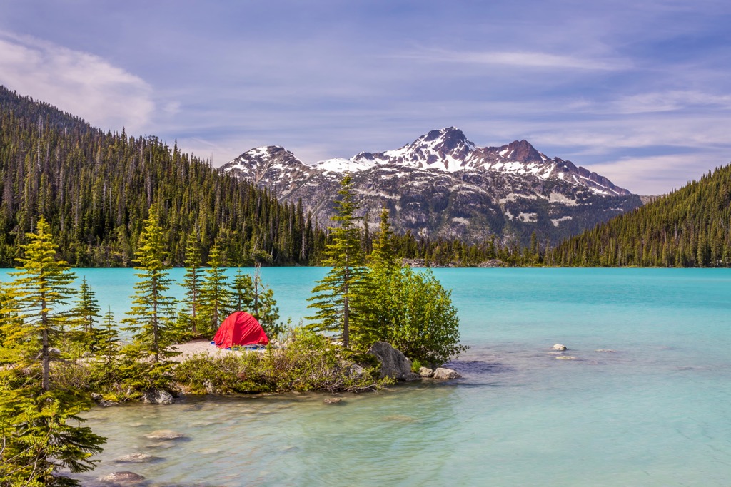
For most visitors to the park, the trail past the Joffre Lakes is more than sufficient as an adventure and is a worthwhile trek. The trail is about 5 km (3 mi) with about 400 m (1,300 ft) of elevation gain. Starting from the parking lot the trek to the first lake is about 5 minutes and there is a nice viewpoint from Lower Joffre Lake.
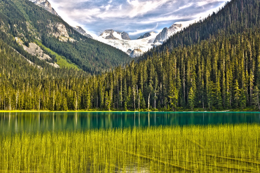
From the lower lake, the trail continues up through the old growth forests of hemlock and spruce and along the talus slopes. The viewpoints around the middle take in the picturesque turquoise waters of the lake surrounded by the subalpine forests and backed by the rugged Coast Mountains.
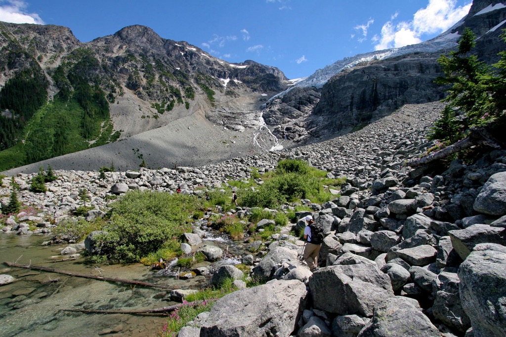
The final stretch of trail to Upper Joffre Lake is narrower and rougher than the rest of the trail; however, it is the most stunning of the three lakes. At Upper Joffre Lake hikers are rewarded with the opportunity to stand beneath Matier Glacier and have a fine view of Joffre Peak.
During a warm afternoon it is common to hear the thunderous crashes of glacial calving and rocks falling from the slopes above. Due to the instability of the glacial terrain, scrambling beyond the upper lake and upon the glacier is discouraged unless you have mountaineering experience and are sufficiently prepared for the trek.
The park has a special, quiet beauty during the winter when there are fewer visitors and the thick snow and trees muffle sounds. The trail to the lakes is popular for winter hiking and snowshoeing and the winter opens up opportunities for backcountry skiing upon the slopes and glaciers in the park.
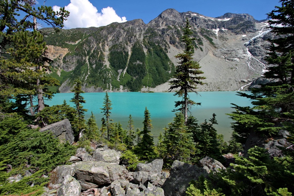
The seven peaks of the park beckon to scramblers and mountaineers. While Mount Hartzell and Mount Taylor offer relatively easy scrambles, the remaining peaks offer Class 5 technical climbs with rock, snow, and ice pitches.
While the idea of scrambling may seem like an intense hike, the reality is that scrambling is low-level mountaineering and there are additional skills that must be learned. With proper experience and preparation, there are incredible opportunities upon the rugged peaks and vast glaciers of Joffre Lakes Provincial Park.
Joffre Lakes Provincial Park is part of the incredibly beautiful Sea to Sky recreational corridor in southwest British Columbia. There are many stunning natural features and wilderness areas, and the following are the closest communities and cities.
Metro Vancouver is British Columbia’s largest city and about 185 km (111 mi) southwest of Joffre Lakes Provincial Park. The city is often mistaken for the capital city of BC; however, the capital is Victoria, on Vancouver Island.
While Metro Vancouver stretches from the sea to the mountains, the provincial dedication to wilderness conservation shows in the many nearby wilderness parks. Some of the popular hiking areas near Vancouver are Mount Seymour Provincial Park, Garibaldi Provincial Park, Golden Ears Provincial Parks, and Pinecone Burke Provincial Park.
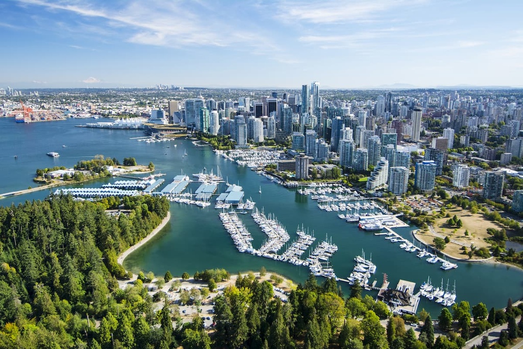
The nearby provincial parks and wilderness areas have opportunities for day hikes, weekend camping trips as well as trails for longer backcountry expeditions. Within the city there are many opportunities for connecting with nature such as Stanley Park, which is one of North America’s largest urban parks.
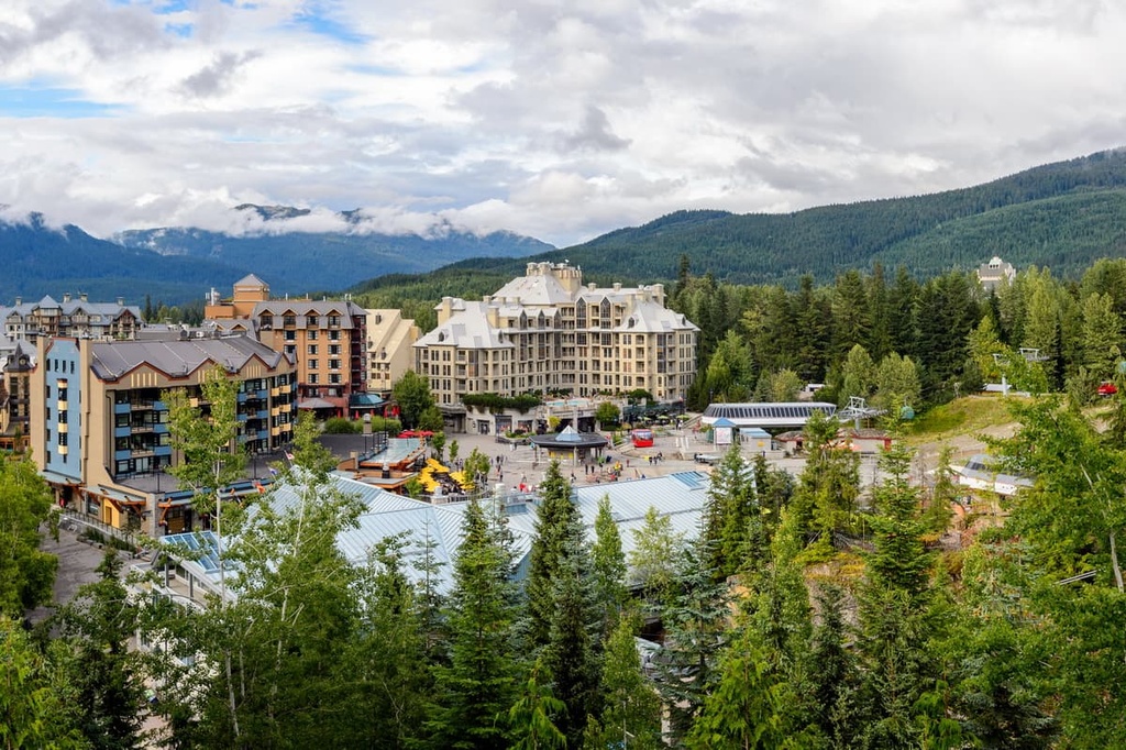
Whistler is a resort community in the Coast Mountains about 120 km (72 mi) north of Vancouver and approximately 62 km (37 miles) southwest of Joffre Lakes Provincial Park. Over two million people visit Whistler annually to spend time on the slopes of Whistler-Blackcomb resort.
Most people come to Whistler during the winter for alpine skiing and snowboarding; however, downhill and mountain biking are quickly gaining popularity at the resort during the summer.
Singing Pass Trail and the High Note Trail to the top of Whistler Mountain are among the most popular hikes around the town. Additionally, one hike that you don’t want to miss is the short hike to the train wreck at the south end of town.
The town is located in the Fitzsimmons Range of the Pacific Ranges and is adjacent to the Spearhead Range, both of which have many fantastic hiking trails. There are also many parks and wilderness areas nearby to enjoy, such as Garibaldi Provincial Park, Brandywine Falls Provincial Park, Brew Lake Recreation Reserve, and Showh Lakes – Ancient Cedars Recreation Site.
Explore Joffre Lakes Provincial Park with the PeakVisor 3D Map and identify its summits.


