Whistler Mountain (Lillooet/Ucwalmícwts: Nsqwítsu) is a mountain in the Fitzsimmons Range of the Pacific Ranges of the Coast Mountains, located on the northwestern edge of Garibaldi Provincial Park. It is the location of the Whistler-Blackcomb ski resort and the town of Whistler, British Columbia, Canada, and played host to the 2010 Winter Olympics.
Previously, the mountain was called "London Mountain," named after a mining claim in the area and the fog at the mountain's base. The locality was called Alta Lake before the creation of the Resort Municipality of Whistler in the 1970s, but the mountain's name had already been changed in 1965. With the advent of the ski resort in the late 1960s, the name was changed to "Whistler" to represent the whistling calls of the marmots, which are also known as "whistlers", that live in the alpine areas of the mountain.
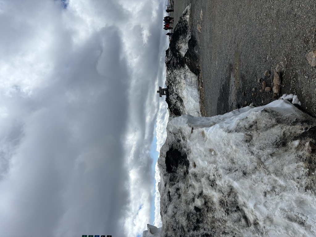
Because of the mountain's proximity to Garibaldi Provincial Park, ski lifts are regularly used to quickly reach the alpine and ski tour into the park. The summit is home to the Whistler Peak chair, and this makes it one of the most travelled summits in British Columbia.
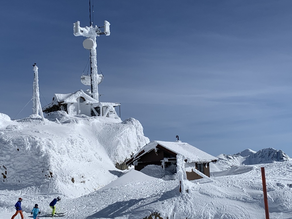
The mountain forms part of a major ski and snowboard resort, the largest in North America.
There's a trail leading to the summit.
The nearest mountain hut is The Stu Inn located 1 412m/4 631ft W of the summit.
We use GPS information embedded into the photo when it is available.
3D mountains overlay
Adjust mountain panorama to perfectly match your photos because recorded by camera photo position might be imprecise.
Move tool
Rotate tool
Zoom
More customization
Choose which peak labels should make into the final photo and what photo title should be.
Next
Photo Location
Satellitte
Flat map
Relief map
Latitude
Longitude
Altitude
OR
Latitude
°'''
Longitude
°'''
Apply
Register Peak
Peak Name
Latitude
Longitude
Altitude
Register
Teleport
PeakVisor
This 3D model of Sagarmatha National Park in Nepal was made using the PeakVisor app topographic data. The mobile app features higher precision models worldwide, more topographic details, and works offline. Download PeakVisor maps today.
Download OBJ model
PeakVisor
The download should start shortly. If you find it useful please consider supporting the PeakVisor app.
PeakVisor for iOS and Android
Be a superhero of outdoor navigation with state-of-the-art 3D maps and mountain identification in the palm of your hand!