Get PeakVisor App
Sign In
Search by GPS coordinates
- Latitude
- ° ' ''
- Longitude
- ° ' ''
- Units of Length

Yes
Cancel
❤ Wishlist ×
Choose
Delete
Fiftymile Mountain Wilderness Study Area is a federally managed outdoor recreation area located in the southwestern portion of the US state of Utah. The wilderness study area features dramatic red rock canyons along with an extensive collection of archeological and cultural sites. The tallest and most prominent point in the wilderness study area is Cougar Knoll (7,608 ft/2,319 m).
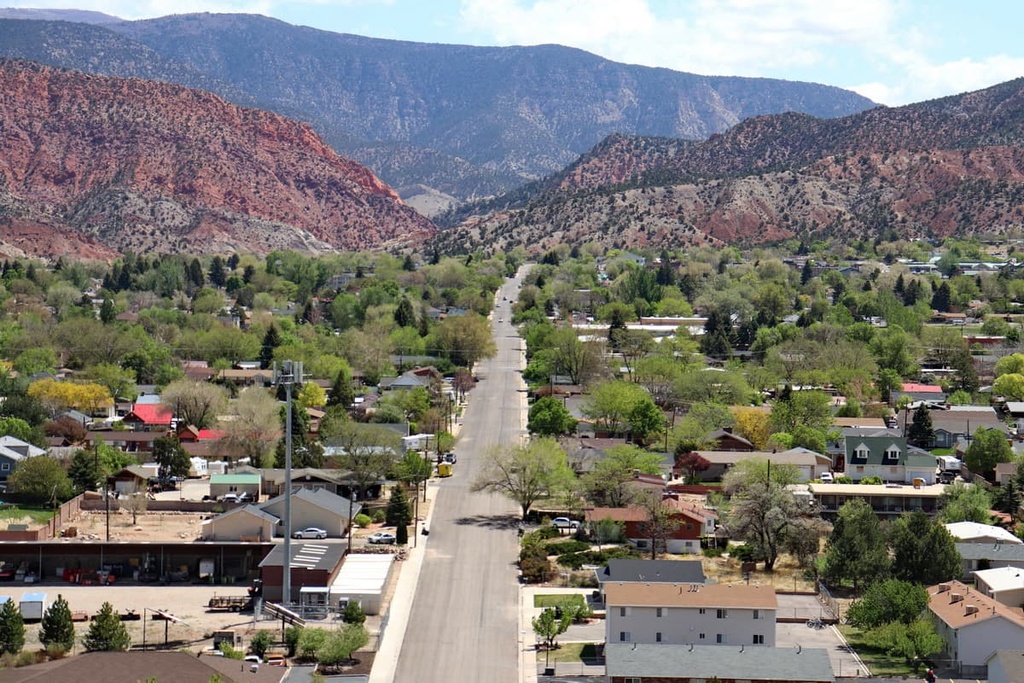
Fiftymile Mountain Wilderness Study Area is located in the southwestern part of the US state of Utah. The wilderness study area encompasses a ridgeline that runs from northwest to southeast across the southwestern region of the state.
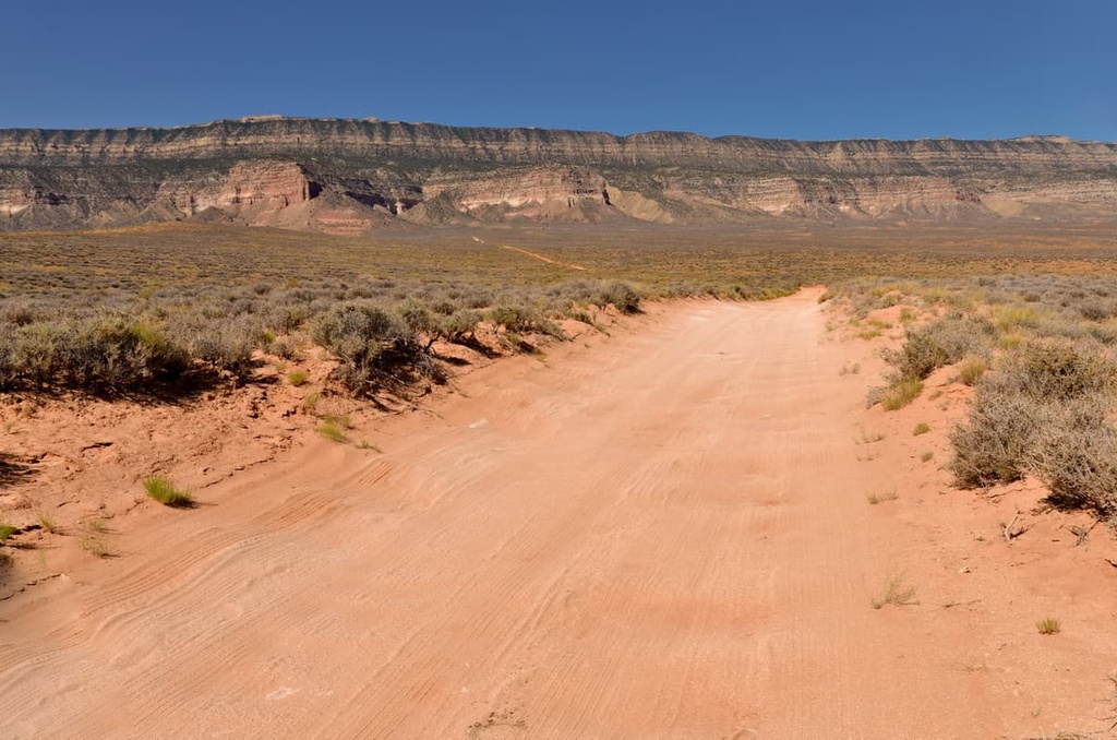
The eastern part of the wilderness study area is bounded by the Straight Cliffs Formation. Meanwhile, the western portion of the wilderness study area is marked by numerous large canyons.
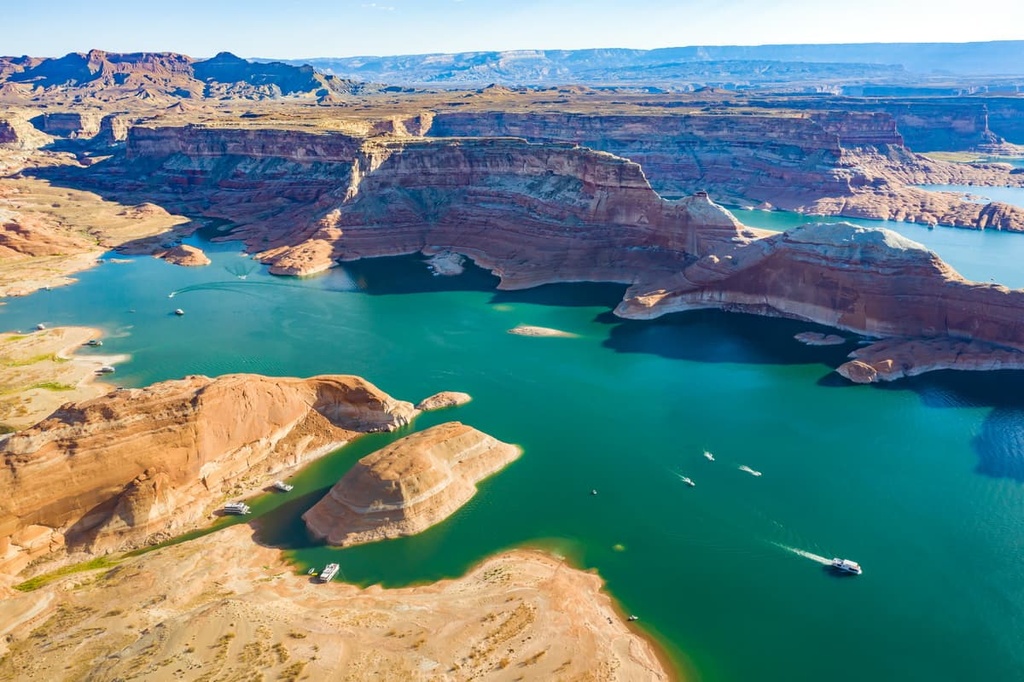
Lake Powell, one of the largest reservoirs in the US, serves as the southern boundary of the wilderness study area. The landscape in the rest of the region features high mesas, narrow red rock canyons, and rugged ridgelines.
The creeks and streams that drain through the region’s canyons all feed into Lake Powell, which was created by the damming of the Colorado River. Despite the fact that the region boasts a desert climate, the wilderness study area also features small stands of trees and shrubs.
This wilderness study area is even part of a much larger network of protected land that encompasses much of southwestern Utah. Indeed, Fiftymile Mountain Wilderness Study Area is surrounded by numerous other wildernesses, parks, and monuments.
Some of the many protected areas that are located around Fiftymile Mountain include the Glen Canyon National Recreation Area, Burning Hills Wilderness Study Area, Grand Staircase-Escalante National Monument, Death Ridge Wilderness Study Area, and Scorpion Wilderness Study Area.
Geologically, the land within the Fiftymile Mountain Wilderness Study Area is part of the vast Colorado Plateau. The plateau is a physiographic province that covers land throughout Arizona, New Mexico, Colorado, and Utah.
The entire plateau is drained by the Colorado River, which runs just to the south of the wilderness study area into Glen Canyon National Recreation Area. The Colorado Plateau is known for being relatively geologically stable as it has experienced minimal folding and thrusting over the past few million years.
Due to this relative stability, the deep canyons of the wilderness study area and surrounding region provide geologists with pristine rock layers that have helped them further the study of the history of the Earth.
In particular, rocks found throughout the region date back between the Permian and the Cretaceous. The sedimentary rocks in the wilderness study area have been eroded over the course of millions of years to form numerous geological features including canyons, mesas, plateaus, spires, buttes, and cliffs.
The landscape in and around the Fiftymile Mountain Wilderness Study Area is also known for being rich in fossils. In fact, numerous dinosaur fossils have been discovered in the nearby Grand Staircase-Escalante National Monument over the last century.
That said, according to the US Geological Survey and the US Bureau of Mines, the Fiftymile Mountain Wilderness Study Area doesn’t contain any known economic resources, such as precious metals. There is a possibility that the wilderness study area contains uranium, titanium, and even coal deposits, but the region hasn’t been heavily mined in recent decades.
Some of the most prominent high points that are located within the Fiftymile Mountain Wilderness Study Area include Cougar Knoll, Blondie Knoll, White Point, Buck Ridge, and Burnt Ridge.
At first glance, the Fiftymile Mountain Wilderness Study Area appears to be quite barren due to its desert-like landscape. However, the region is actually home to a diverse array of both flora and fauna.
The region in and around the Fiftymile Mountain Wilderness Study Area is primarily part of the Colorado Plateau Shrublands ecoregion. There are numerous subregions within this ecoregion. Most of these subregions are confined to specific elevations as the flora and fauna found in the area tends to vary as you move up and down in elevation.
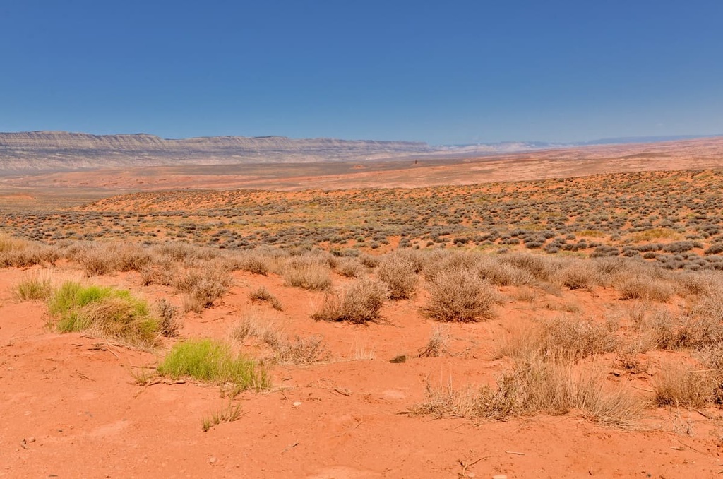
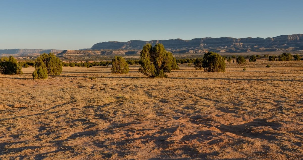
For example, along the bottom of the wilderness study area’s canyons, visitors may spot shrubs, grasses, blackbrushes, and sagebrushes. As elevations increase, this shrub ecosystem transitions into an ecosystem of pinyon-juniper woodlands.
The highest elevations in the wilderness study area are typically home to pinyon-juniper woodlands along with stands of aspen trees. Additionally, there are some parts of the wilderness study area that are completely devoid of plant life.
The vast network of protected land in the southwestern part of Utah allows a number of animal species to thrive in the wilderness study area, too. Some of the many animals that live in this area include mule deer, elk, mountain lions, pronghorns, and bobcats. Venomous snakes are also relatively common in the region, so take care as you hike.
The land within and surrounding the Fiftymile Mountain Wilderness Study Area has been inhabited by humans for thousands of years. Thousands of archeological sites can be found in and around the wilderness study area.
This region is part of the ancestral homelands of numerous Indigenous peoples. Some of the many Tribes with ancestral claims to the land in and around the current wilderness study area include the Hopi Tribe, Southern Paiute, Navajo Nation, Ute Mountain Ute Tribe, Ute Indian Tribe of the Uintah and Ouray Reservation, and the Pueblo of Zuni.
The first people of European descent to travel through the region were likely the Spaniards who arrived in the sixteenth century. Spain would later go on to claim the Four Corners region of the present-day United States as part of New Spain.
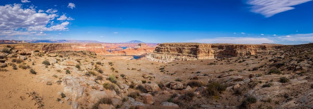
In 1776, the Domínguez-Escalante expedition traveled throughout the region in search of an overland route to connect Santa Fe, New Mexico, and Monterrey, California. The expedition traveled throughout the Colorado Plateau and spent a lot of time navigating the land near the Colorado River.
The earliest European settlers in the region were likely fur trappers and traders who came in search of valuable pelts. However, European-American settlement of the region didn't really take off until the beginning of the nineteenth century when Brigham Young sent a group of Mormon missionaries to northern Utah to claim what they believed to be their promised land.
Over the following decades, the Mormon missionaries, along with other settlers, began settling throughout present-day Utah. In the process, they often displaced and attacked the Indigenous people who had been living in the region for thousands of years.
Gold prospecting and hopes of striking it rich in the area around the Glen Canyon brought even more settlers to the region in the 1890s. These settlers were backed by the US government and they often forced many of the Indigenous people who still lived in the region onto reservations.
The nearby Dixie National Forest was established in 1903. Portions of the forest were later designated as a national monument in 1996. The Glen Canyon National Recreation Area was established in 1972, and many of the surrounding wilderness study areas (including the Fiftymile Mountain Wilderness Study Area) were established in the following decades.
The Fiftymile Mountain Wilderness Study Area is home to a handful of hiking trails, though not all of them are well maintained. Here are some of the most popular hiking destinations in the area that are worth checking out during a trip to the region.
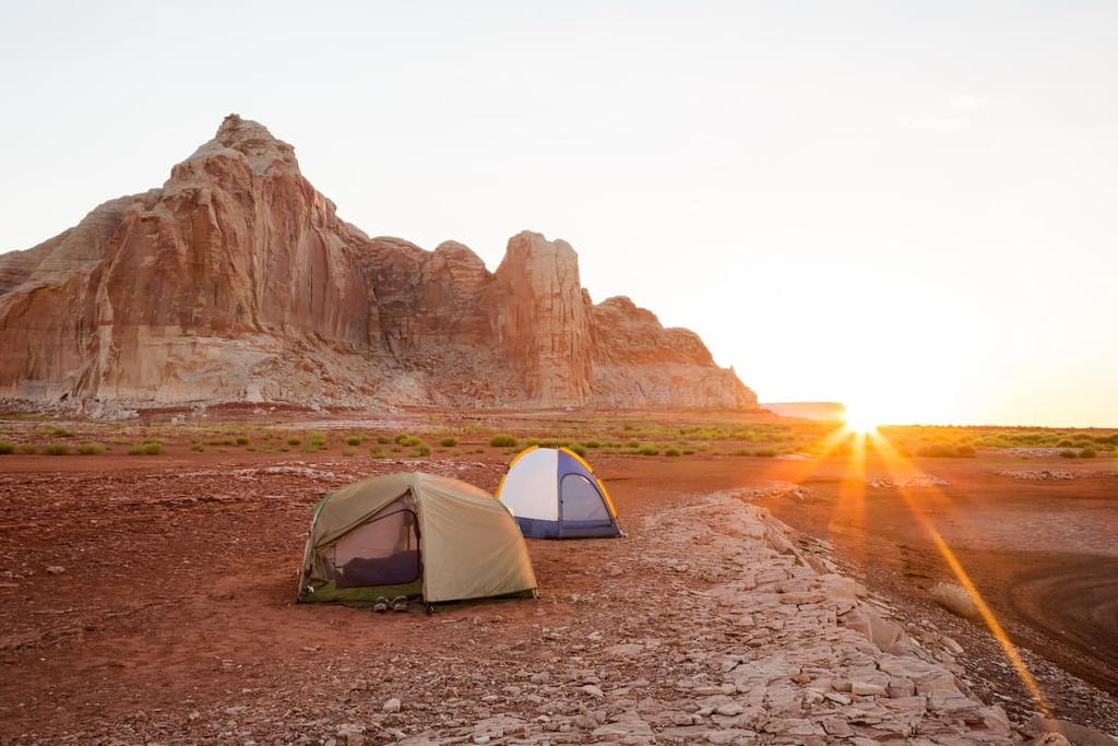
The Window Wind Arch Trail is a relatively short hike that’s located near the eastern edge of the wilderness study area. This trail climbs steadily along the shrub-covered hillside of the wilderness study area before reaching the top of a rocky butte.
Once at the top of this rocky butte, hikers can enjoy panoramic views of the wilderness study area and Glen Canyon National Recreation Area to the south. The entire hike is 3.2 miles (5.1 km) long round trip and it has 1,296 feet (395 m) of elevation gain.
The Top Arch Trail lies in the northwest corner of the wilderness study area, along its border with the Grand Staircase-Escalante National Monument. The trail begins with a section of downhill walking before it starts gradually climbing upward toward Top Arch.
On this trail, hikers have the opportunity to view a stunning sandstone arch that is far less visited than other natural arches found in the region. This out-and-back hike is 3.4 miles (5.5 km) long round trip and it has 100 feet (30 m) of elevation gain.
A majority of the most popular hikes in the region lie just to the east of the wilderness study area within Grand Staircase-Escalante National Monument and Glen Canyon National Recreation Area. Here’s a look at a few of the many hikes that are located just outside of the wilderness study area:
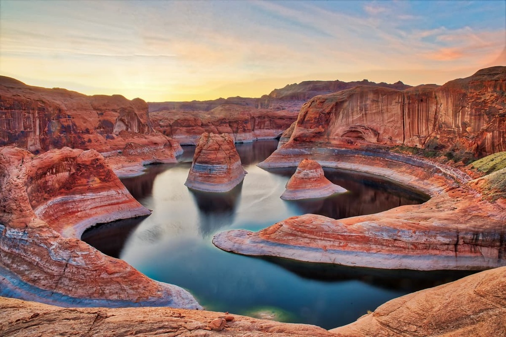
Looking for a place to stay near the Fiftymile Mountain Wilderness Study Area? Here are some of the best cities and villages to check out in the region.
Escalante is a city that lies to the northwest of the Fiftymile Mountain Wilderness Study Area. It is home to around 800 residents, and it acts as a gateway to the Grand Staircase-Escalante National Monument and the Escalante Petrified Forest State Park. Other nearby attractions that are located around the city of Escalante include Capitol Reef and Bryce Canyon national parks.
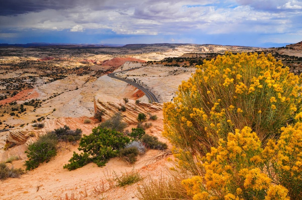
Though small in size, the city of Escalante features a few local diners and cafés for visitors to enjoy along with a handful of motels and inns. This city’s quiet streets also serve as an ideal starting point for trips into the stunning landscapes that define this portion of the state.
Keep in mind, however, that hikers visiting Escalante during the summer should exercise extreme caution on their adventures. The region is known for having very hot summers, which can make hiking dangerous.
Cedar City is a community that lies to the west of the wilderness study area. Although it is situated about 3.5 hours away from Fiftymile Mountain by car, it is the closest major city to the wilderness study area. The city is home to around 35,000 residents and it is the site of Southern Utah University. Cedar City also hosts the headquarters of Dixie National Forest.
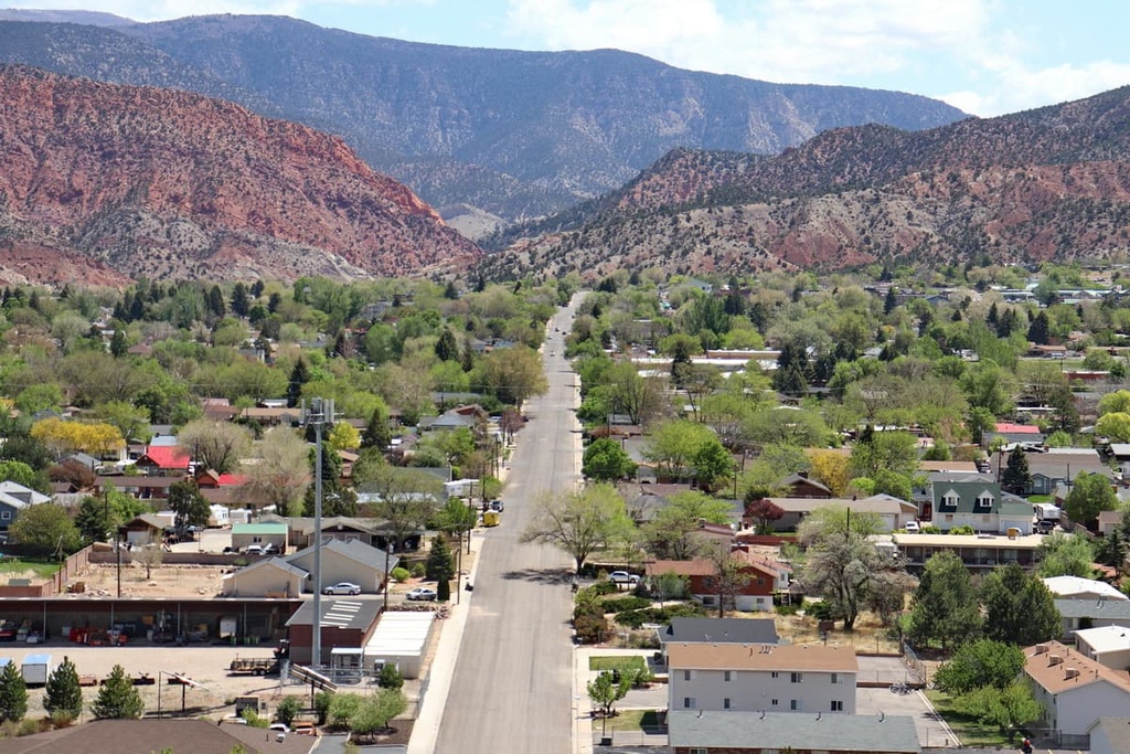
In addition to being surrounded by Dixie National Forest, Cedar City also provides easy access to a number of other popular hiking areas including Zion National Park. Visitors and locals alike in Cedar City can also marvel at the forested hillsides and red rock landscape that define the region.
Each year, the city hosts the Utah Summer Games, Simon Fest Theater, and the Utah Shakespeare Festival. Cedar City’s many local stores, restaurants, and gear shops also provide a wide range of amenities for visitors to the area.
Explore Fiftymile Mountain Wilderness Study Area with the PeakVisor 3D Map and identify its summits.

