Get PeakVisor App
Sign In
Search by GPS coordinates
- Latitude
- ° ' ''
- Longitude
- ° ' ''
- Units of Length

Yes
Cancel
❤ Wishlist ×
Choose
Delete
Bald Eagle State Forest is an outdoor recreation destination featuring limestone rich valleys and forested hillsides that’s located in the US state of Pennsylvania. The forest features a variety of landscapes and it contains 68 named mountains. The tallest and most prominent peak in Bald Eagle State Forest is Riansares Mountain (2,320 ft/707 m).
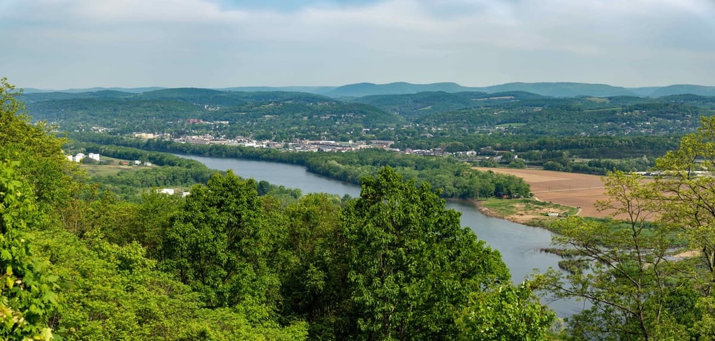
Bald Eagle State Forest lies in central Pennsylvania and encompasses 194,602 acres (78,750 ha) of terrain. The varied and forested landscape of the state forest is located in five counties: Synder, Union, Centre, Mifflin, and Clinton.
The state forest features numerous streams and creeks that wind their way through the region’s rolling hills. Portions of the region are marked by old-growth forests that are interspersed with sharp ridgelines. The forest and surrounding region both lie within the ridge and valley section of central Pennsylvania.
The southeastern portion of the forest is home to the Susquehanna Valley while the Allegheny Mountains lie to the northwest. Along the eastern border of Bald Eagle State Forest lies the confluence of the north and west branches of the Susquehanna River.
Various other streams begin within the forest before connecting to the Susquehanna River. The cross-country hiking trail known as Mid State Trail runs through the center of the forest, too. There are also five state parks contained within the forest:
Additionally, Bald Eagle State Forest lies near numerous other parks and forests for outdoor recreation. Rothrock State Forest lies directly west while Tiadaghton State Forest is situated to the north. Other nearby areas include Sproul State Forest, Elk State Forest, and Tuscarora State Forest.
The geology of Bald Eagle State Forest is often categorized based on the two major geological features of the region: the Susquehanna Valley and the Allegheny Mountains.
The Susquehanna Valley, or Susquehanna River Basin, covers a majority of central Pennsylvania. The Susquehanna River is considered one of the oldest rivers in the country as it often flows over rock that is younger than the river itself.
Meanwhile, the nearby Appalachian Mountains were thrust upward around 300 million years ago, forcing the change in direction of the Susquehanna River to the southeast. Over the course of 150 million years, the river carved out a wide valley in the Earth’s crust.
During the last glacial maximum, a vast ice sheet covered northern Pennsylvania. As the glacier began to melt, its runoff was added to the Susquehanna River, further increasing its force and its rate of erosion of the landscape. Over time, sediment filled in the deep canyon that had formed, leaving behind the current geological landscape.
The Allegheny Mountains are part of the larger Appalachian Mountains, which extend across the eastern US and into Canada. The bedrock of the range is primarily sandstone and quartzite. These layers of rock formed during the Appalachian orogeny.
Some areas of the range feature various conglomerates. However, there are very few spots within the range where native bedrock is exposed to the elements.
Major peaks within Bald Eagle State Forest include Riansares Mountain, Paddy Mountain, Winkelblech Mountain, Shriner Mountain, and Strong Mountain.
Bald Eagle State Forest is home to a variety of ecosystems that allow for numerous types of flora and fauna to thrive in the region’s many streams, wetlands, lakes, and forests.
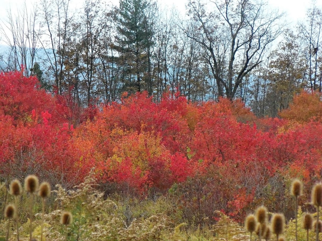
Mature sections of oak and hickory forest dominate much of the forested landscape in the area. Populations of pine and maple trees can also be spotted throughout the forest. Common flowering plants include goldenrod, asters, sumacs, and dogwoods.
Other plants within the forest include teasel, Queen Anne’s lace, wild carrot, mayapples, redbud tree, and milkweed.
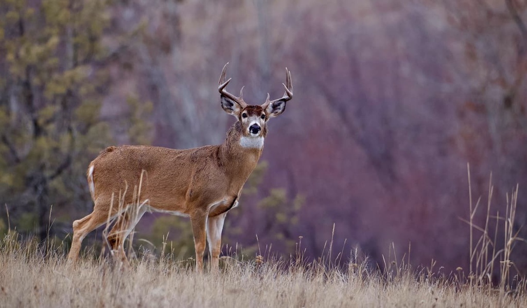
Bald Eagle State Forest is home to a plethora of animal species. Commonly spotted mammals include cottontail rabbit, squirrel, white-tailed deer, and bobcats. Porcupines and wild turkeys often inhabit the forested sections of the region while snapping turtles, bass, black crappie, great blue heron, and bald eagles live in and near the state forest’s many lakes and streams.
Bird watching is a particularly popular activity within the forest. Other bird species in the area include sparrows, finches, cardinals, northern shrikes, northern mockingbirds, red-eyed vireos, green herons, wood ducks, and oven birds. Monarch butterflies flourish in the region, too, due to the high concentration of milkweed which is their main source of food.
The land in and surrounding Bald Eagle State Forest is part of the ancestral homelands of the Susquehannock people. The Susquehannock people are an Iroquoian people who traditionally lived in the Northeastern Woodlands of what is now called the US.
For thousands of years, the Susquehannock people lived harmoniously with the land, particularly along the Susquehanna River that flows throughout what is now called central Pennsylvania. During the thirteenth to sixteenth centuries, it is believed that the Susquehannock people lived as far west as present-day Ohio, too.
As European settlements began forming, the Susquehannock people united with other Indigenous groups that lived primarily to the east of the Appalachian Mountains. The first recorded European contact with these Indigenous peoples was in the seventeenth century.
The Susquehannock people were able to resist the Haudenosaunee alliance during the beginning of the seventeenth century. Instead the Susquehannock formed alliances with the Swedish and Dutch settlers of the region. The Susquehannock and Swedes were able to defend themselves from a war during the mid seventeenth century that was fought against the colony of Maryland.
The population of the many Susquehannock tribes drastically declined by the 1670s, most likely due to introduced infectious diseases. Many of the remaining people were overwhelmed by the Haudenosaunee and forced to relocate to the area around the territory of the Oneida tribe in present-day New York. Decades later, some Susquehannock people were able to return to their native homelands along the Susquehanna River.
In the decades that followed, European settlements began to steadily grow in size throughout the Susquehanna Valley. Many of the Susquehannock people who remained in the area by this time were either massacred or forced off of their land.
Timber harvesting dominated the region throughout the nineteenth century, further depleting the land. Conservationists became increasingly concerned about the state of the forest and eventually passed a piece of legislation in 1897 that marked the beginning of the state forest system.
The forest was named after the Lenape Chief Woapalanne, whose name translates to ‘Bald Eagle.’
Bald Eagle State Forest is home to a number of excellent trails for outdoor recreation. Here are a few of the trails that you can find within the forest that are worth checking out.
The Castenea Boulder Field Loop is the most popular trail in the state forest. The route is 6.9 miles (11.1 km) in length and it has 2,073 ft (824 m) of elevation gain. Hikers on this trail wind their way through the forested landscape while enjoying views of the Susquehanna River down below.
After passing through the trees, hikers then cross the boulder field that the route is named after. During the summer months, hikers should be aware of timber rattlesnakes on this trail as the boulder field acts as an ideal hiding spot for this species of snake.
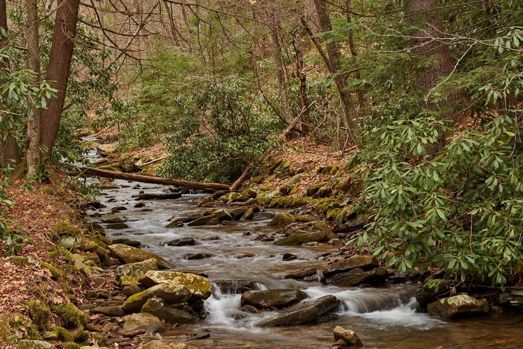
The Top Mountain Trail is an out-and-back route situated above White Deer Creek. During the wetter months of the year, it is recommended that hikers bring a 4-wheel drive vehicle to access the start of the trail.
The trail climbs up and down through the rolling hills of the forest before reaching the vista at the summit of Top Mountain. This route can be accessed throughout the year, offering hikers a view of the changing landscape, which is full of deciduous trees.
The James Cleveland Memorial Trail is an out-and-back route that takes hikers through lush forests and past a rock field. It eventually climbs up to the memorial site where there is a memorial for a pilot whose plane crashed in the area during the 1930s.
The trail features minimal signage and totals 4 miles (6.4 km) in length with 1,505 ft (459 m) of elevation gain. Metal from the plane can still be seen at the memorial site.
Looking for a place to stay near Bald Eagle State Forest? Here are some of the best cities and villages to check out in the region:
Harrisburg, the capital city of Pennsylvania, lies just to the southeast of Bald Eagle State Forest. The city has a population of around 50,000 residents, making it the ninth most populous city in the state. Situated on the east bank of the Susquehanna River, Harrisburg is home to the National Civil War Museum and the State Museum of Pennsylvania.
Visitors to Harrisburg can explore the historic building and local shops or take a riverboat cruise along the river. Just 10 miles (16 km) to the east of Harrisburg lies Hershey, Pennsylvania, home of the world famous chocolate company of the same name. Besides hiking, biking, and kayaking, visitors to the region can also explore Hershey Park and Hershey’s Chocolate World.

The city of Williamsport lies near the northern edge of Bald Eagle State Forest. With a metro population of around 114,000 people, Williamsport serves as the financial, cultural and commercial center of central Pennsylvania. The quaint downtown is lined with local shops, galleries, and restaurants.
Both Pennsylvania College of Technology and Lycoming College are located in Williamsport. The city is known for being the birthplace of Little League Baseball and the region hosts the Little League World Series each year. Nearly 300,000 acres (121,400 ha) of state gameland surround the city, making it a popular area for all types of outdoor enthusiasts.
Explore Bald Eagle State Forest with the PeakVisor 3D Map and identify its summits.


