Get PeakVisor App
Sign In
Search by GPS coordinates
- Latitude
- ° ' ''
- Longitude
- ° ' ''
- Units of Length

Yes
Cancel
❤ Wishlist ×
Choose
Delete
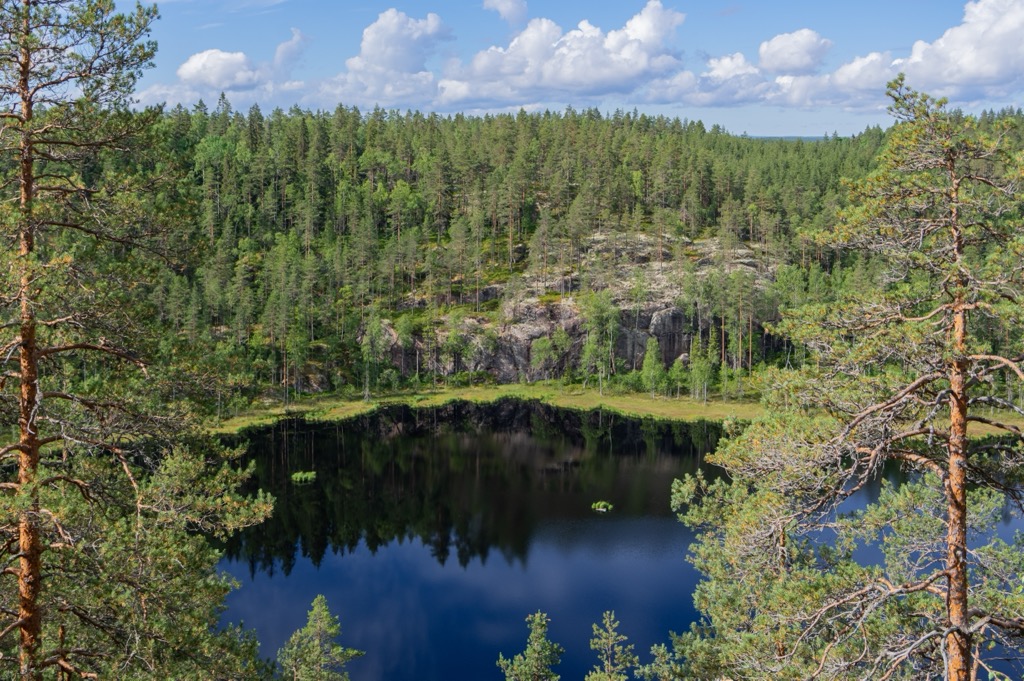
Aarnikotka Forest Nature Reserve is one of Finland’s 500+ various nature reserves. Together with the neighboring Repovesi National Park, with which they form the largest protected forest area in south-eastern Finland, the reserve is consistently among the 10 most visited parks in the country. The main feature of Aarnikotka Forest Nature Reserve is some of the best lake scenery in Finland, which can be seen from all 7 of its named mountains, including “Finnish El Capitan”, Olhavanvuori (142 m / 465 ft) with rock paintings of ancient people, and in Repovesi, there are 3 more peaks (a dozen in total). The highest and most prominent mountain of both areas is Tolosenvuori (153 m / 502 ft), due to its location on the border between them.
The beautiful name of the reserve, Aarnikotka, is translated from Finnish as griffin or griffon. It is an ancient mythical creature, a mixture of a lion and an eagle. From the former, it got its strong and large body and paws, and from the latter—the head with a beak and wings that allow it to fly. Like all mythical creatures, it most likely did not exist in reality, but who created it in his imagination (and frightened and inspired the world at the same time) was definitely a genius.
The name of the Griffon Forest Nature Reserve, as it could be translated in English, comes from the logo of Finland’s largest forest industry company, UPM (United Paper Mills), which depicts a green griffon. It is also one of the oldest and most frequently and nationally used symbols in Finland—for example, the griffons are depicted on many coats of arms of cities and provinces. What is the connection between the company and the nature reserve? Read more about it below.
The full name of the reserve in Finnish is Aarnikotkan metsän luonnonsuojelualue.
Aarnikotka Forest Nature Reserve is located between the Kymenlaakso and South Savo regions in northeast of Southern Finland, one of the six former large provinces into which the country was divided from 1997 to 2009. The name now describes the entire southern part of the country.
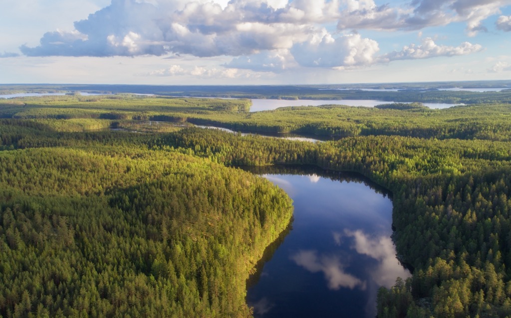
The reserve is about the same size as Repovesi National Park and surrounds it on three sides: north, west, and south, forming the largest natural protected territory in southeastern Finland with a total area of over 30 sq km (11.5 sq mi).
Warning: there is a firing range to the east of the park, and entry is prohibited. You will read about it on the signs on the trails.
Aarnikotka Forest Nature Reserve and Repovesi National Park, which is known for its lake and forest scenery, as part of the larger Finnish Lakeland, is consistently ranked in the top 10 most visited national parks in the county, occupying the 6th–7th places. For example, during the last year 2021 alone, it was visited by over 170,000 people, and the year before over 230,000. In Southern Finland it is second only to Koli National Park in North Karelia, and Nuuksio National Park in Uusimaa.
In addition to the lakes, which I described in more detail in the guide to the national park (be sure to read it, too, to get the most complete picture), and the mountains, about which I will talk further, the main feature of the landscape of Aarnikotka Forest Nature Reserve, is in its name—the forest itself. Here is a brief history of its development in three main points:
The center of the reserve is about 10 km (6.2 mi) from the nearest small settlement Sikoniemi, which can be reached by car or bus from Kouvola, one of the two capitals of Kymenlaakso on the same level as Kotka on the Baltic Sea. In turn, in Kouvola, the easiest and fastest way to get from Helsinki. The total journey is 230 km (143 mi) or 3:30 hours.
The most numerous animal of Aarnikotka is the red-throated diver, which is also called loon in biology. It is easy to see and hear, especially in spring when they are looking for mates. It is the rarest of five main species of this bird, which migrates constantly between north and south in search of ice-free water and nesting sites.
But, of course, it is not the only animal of the reserve. It is also home to many other birds, as well as medium-sized and large predators. Among the former are red foxes, among the latter are even some bears.
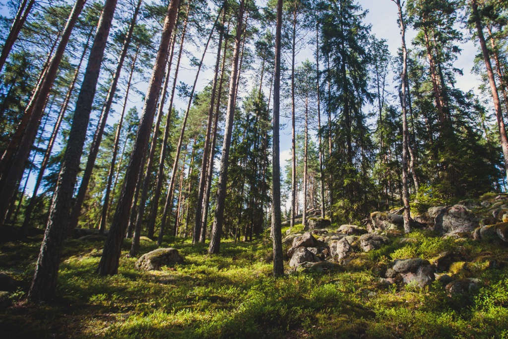
The main mountain of Aarnikotka Forest Nature Reserve is without doubt Olhavanvuori (142 m / 465 ft)—a huge rock, the reddish color of which is due to a local rapakivi granite. Specifically, Aarnikotka is the southernmost area of the largest deposits of granite of this type, the Vyborg Rapakivi Massif, named after the former Finnish town, now part of the Vyborg District of Leningrad Oblast in Russia.
The rock, which has been worn smooth by the glacial ice sheet, is similar to El Capitan in the Sierra Nevada mountains of California, USA (hence its second unofficial name).
It is located in the very south of the northern part of the reserve on the bank of the Olhavanlampi pond of the same name, so it literally cliffs into the water, or it would be more accurate to say—grows out of it. Therefore, you can get close to the base of the rock either by boat or in winter, when the pond is frozen.
The best reason to do it is to look at the rock paintings of ancient hunters, left here between 5200–1000 BC. The Finnish rock art sites are usually located on vertical lakeshore granite cliffs such as Olhavanvuori. Yes, it is not the only site in Finland. The others are Astuvansalmi rock paintings (South Savo), Saraakallio rock paintings (Central Finland), Hossa Värikallio Rock Paintings (Northern Ostrobothnia), Vitträsk Rock Paintings (Uusimaa), and more.
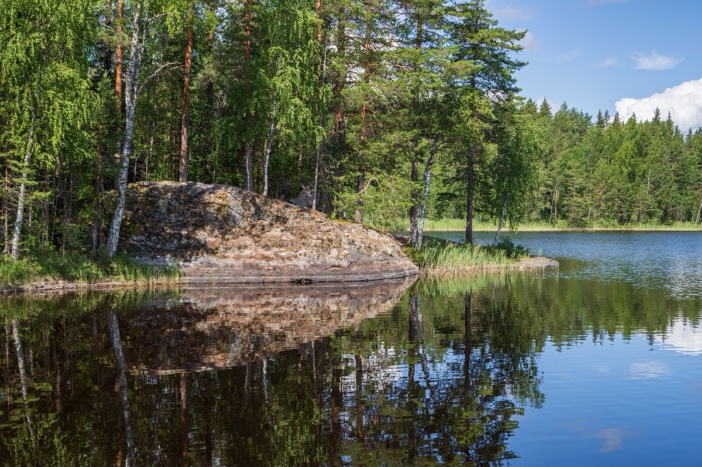
You can and should also climb the mountain on the trail to look at the pond, surrounded by endless pine and spruce forests, from above.
However, the best natural lookout point in the reserve is Katajavuori (126 m / 413 ft), located to the south. The actual territory is exactly in the middle between the two parts of the reserve—the northern and the southern—and Repovesi National Park to the east, so it belongs to neither of them, but you can hardly notice it on the spot—there are, of course, no skyscrapers and any other buildings in the middle of the forest.
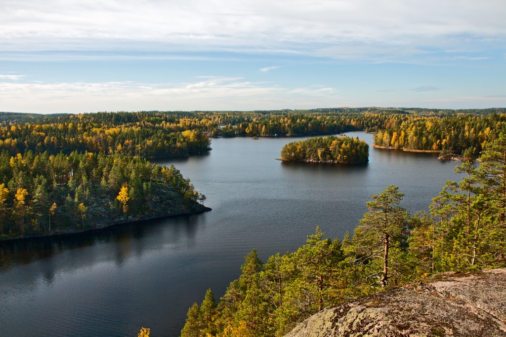
Katajavuori is best known because it offers the most picturesque view in the park and the reserve on a series of four large islands and capes on the shores of Repovesi Lake of the same name to the west of the natural area. The mountain is also famous for having a long wooden staircase of more than a hundred steps leading to its summit to help climb it. You can get to the mountain on the park’s main trail, Kaakkurinkierros.
The third most known mountain of an area is the collapsed cliff Kuutinvuori on the shore of the small Kuutinlahti Bay also in the center of an area between Olhavanvuori and Katajavuori—a good example of the collapse of a granite cliff believed to have occurred more than 9,000 years ago, which is now a huge pile of stones.
In addition, the reserve has five more named peaks, including the highest for both areas, Tolosenvuori (153 m / 501 ft)—also a good viewing platform. Together with two more peaks in Repovesi, in total there are 10 mountains, which is enough for climbing during a one or two-day hike.
The main and longest trail in Aarnikotka Forest, covering both natural areas, including all the main mountains, lakes, and other attractions, is Kaakkurinkierros of 26 km (16 mi) long, which name means "The Loon Ring" ("kaakku" is red or black-throated diver in Finnish, and the "rinkierros" is the ring, loop or circle). I recommend splitting it into two days to spend the night in the park and not rushing anywhere. Otherwise, you'll have to hike intensely all day and climb the cliffs for the most beautiful views that you definitely don't want to walk away from.
For those who only want to walk through the reserve, the Korpinkierros trail around Olhavanlampi with views and the ascent to Olhavanvuori is the first choice. The trail is 4.6 km (2.8 mi) long.
Two similar small trails in the southern part of the reserve are Ketunlenkki (3.5 km / 2.1 mi) around the northern part of the large Kapiavesi Lake and its picturesque Terrilahti Bay, where you can take a cable "Fox Ferry" (I tried, it is extremely fun); and twice as big Koppelonkierros (8.6 km / 5.3 mi), taking a bit of Repovesi, around Tervajärvi Lake, the largest on the eastern borders of the park.
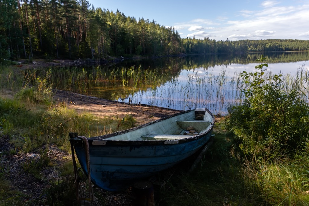
There are two small ski resorts in Kymenlaakso with several slopes of no more than 3 km (1.8 mi) in total and several ski lifts. In addition to Mielakka (Mielakan Rinnekeskus) near Kouvola in the center of the region, this is Uuperi (Uuperin rinteet) to the northeast of Kotka. Of course, they are too small for Alpine skiing but if you like cross-country skiing you wouldn't be disappointed, because they offer tens of km (mi) of marked trail around them.
The nearest larger ski resort in Southern Finland is Messilä near the city of Lahti with 5.7 km (3.5 mi) of slopes with 111 m (364 ft) of vertical drop and 9 ski lifts—enough for a day of skiing.
Check the Finland ski resorts map in the World Mountain Lifts section of the site. It includes information about open ski lifts / slopes in Finland in real-time with opening dates and hours. There are also year-round cable cars, funiculars, cog railways, aerial tramways, and all other types of mountain lifts.
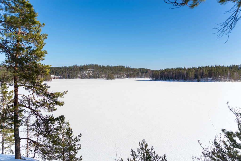
Aarnikotka Forest Nature Reserve has no Visitor Center (the nearest one is in Koli National Park), but there are some informational stands with park’s maps for sure. Anyway, before or after the hike, visit the region's official tourist office, which can be found in Kotka. It also gives information about Hamina, the third largest city of the region.
Visit Kotka-Hamina Tourist Information
Kyminlinnantie 6, 48600, Kotka, Finland
+358401356588
VisitKouvola Tourist Information
Only online services
+358206155295
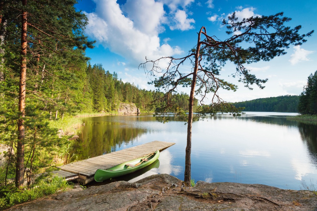
Seven rented huts are available for overnight stays in Repovesi National Park and Aarnikotka Forest Nature Reserve: Karhulahti, Lojukoski, Mustavuori, and Määkijä can be booked at Verkkokauppa.eraluvat.fi and Kuutinkämppä, Pihkapirtti and Saarijärvi at Tervarumpu.fi.
In addition, there are 12 camping and campfire sites. The difference is that the latter includes the campfire place, firewood with an ax in a shelter, and a dry toilet—in other words, everything you need for overnight stays away from home except for the food you have to take with you.
In my experience travelers often leave uneaten food at such places to lighten their backpacks for the next hike or on the way back. It even helped me out once when I decided to stay at the lake for another day because of the beautiful views, but I ran out of food supplies.
Yes, of course, I'm talking about canned food.
Besides that, you will also find two lean-to shelters, where you can sleep overnight in summer without a tent but I don't recommend doing it from May to late July, because there will be a lot of mosquitoes, which you will have to chase away constantly.
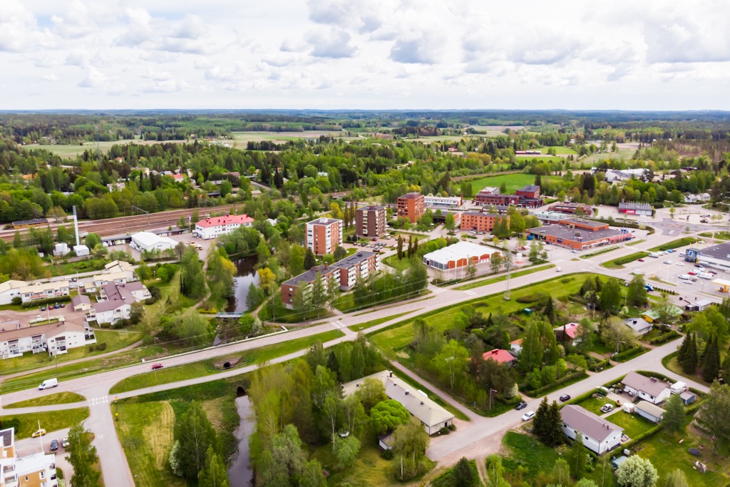
Kouvola is the nearest city to Repovesi National Park and Aarnikotka Forest Nature Reserve.
The city’ main natural attraction is Kymijoki, the 7th–9th longest river in Finland, depending on the data source, of 180–204 km (111–127 mi). If you take only Southern Finland, then Kymijoki is the longest.
The main man-made attraction of the city are Kouvola's City Hall; Kasarminmäki Historic Area; Central Church of Kouvola, as well as St Ursula's Roman Catholic, and Holy Cross churches; Villa Ruth's Manor, Home and Radio, Model Railway and Kouvola Art museums Kouvola Theatre, Kouvolatalo—a facility for meetings, concerts and more, and others.
An ideal place for a half-day trip from the city is the famous Verla Mills, one of seven UNESCO sites in Finland, which is located just 30 km (mi) to the north of the center — a must-visit location.
Explore Aarnikotka Forest Nature Reserve with the PeakVisor 3D Map and identify its summits.


