Get PeakVisor App
Sign In
Search by GPS coordinates
- Latitude
- ° ' ''
- Longitude
- ° ' ''
- Units of Length

Yes
Cancel
❤ Wishlist ×
Choose
Delete
Located deep in the wilds of the northern Adirondacks in the US state of New York, the Seward Mountains are some of the most remote peaks in the region. The range is home to 4 named mountains, the highest and most prominent of which is Seward Mountain at 4,327 ft (1,319 m).
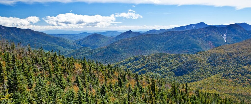
The Seward Mountains, also known just as “the Sewards,” lie in the western half of the High Peaks Wilderness, in the north central area of the Adirondack Park in the US state of New York.
The four peaks in the range are Seward Mountain, Donaldson Mountain, Seymour Mountain, and Mount Emmons. They are all official 46 Adirondack High Peaks with elevations above 4,000 ft (1,219 m). Seward Mountain is the highest point in Franklin County, New York while Mount Emmons is the westernmost Adirondack High Peak.
Seward, Donaldson and Emmons form a range running in a northeast–southwest direction. Seymour lies to the east of the other three peaks, separated by the deep valley of Ouluska Pass.
The Seward Mountains present a serious challenge for anyone attempting to climb the 46 Adirondack High Peaks. None of these peaks have official trails to the summit and hikers must follow unofficial herd paths over challenging terrain. However, they feature beautiful views and some of the most remote hiking in the Adirondacks.
There are numerous other hiking areas around the Seward Mountains, including the Sargent Pond Wild Forest, the McKenzie Mountain Wilderness, the Sentinel Range Wilderness, and, of course, the rest of the High Peaks Wilderness.
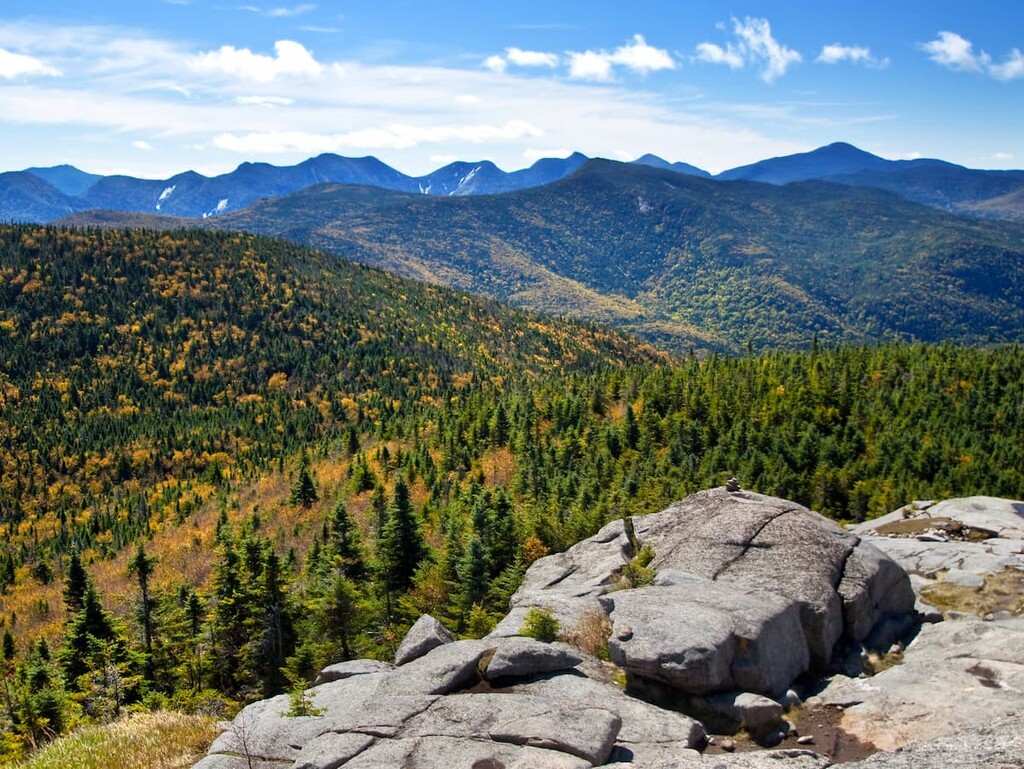
The Seward Mountains are some of the westernmost mountains of the High Peaks Wilderness in the central Adirondacks. Unlike the nearby Appalachians, the Adirondacks form a distinctive dome-shaped grouping of mountains some 160 miles (257 km) wide and 1 mile (1.6 km) high, as opposed to a long chain of peaks.
The Adirondacks are unique in the northeast. Some of the exposed bedrock in the Adirondacks is over a billion years old, although the mountains are still rising about 1 foot (30 cm) per century. They were originally formed during the Grenville Orogenic Cycle, while the landforms we see today carved largely by glaciers as the Laurentide Ice Sheet retreated about 12,000 years ago.
The Seward Mountains themselves are part of the Marcy Massif, which is mostly made up of anorthosite, an intrusive igneous rock with a high concentration of plagioclase feldspar. Interestingly, anorthosite is rare on Earth’s surface, but relatively common on the moon.
The Seward Mountains are located in the watershed of the Raquette River, which drains into the St. Lawrence River and eventually into the Gulf of Saint Lawrence in Canada.
The highest point in the Seward Range is Seward Mountain at 4,327 ft (1,319 m).
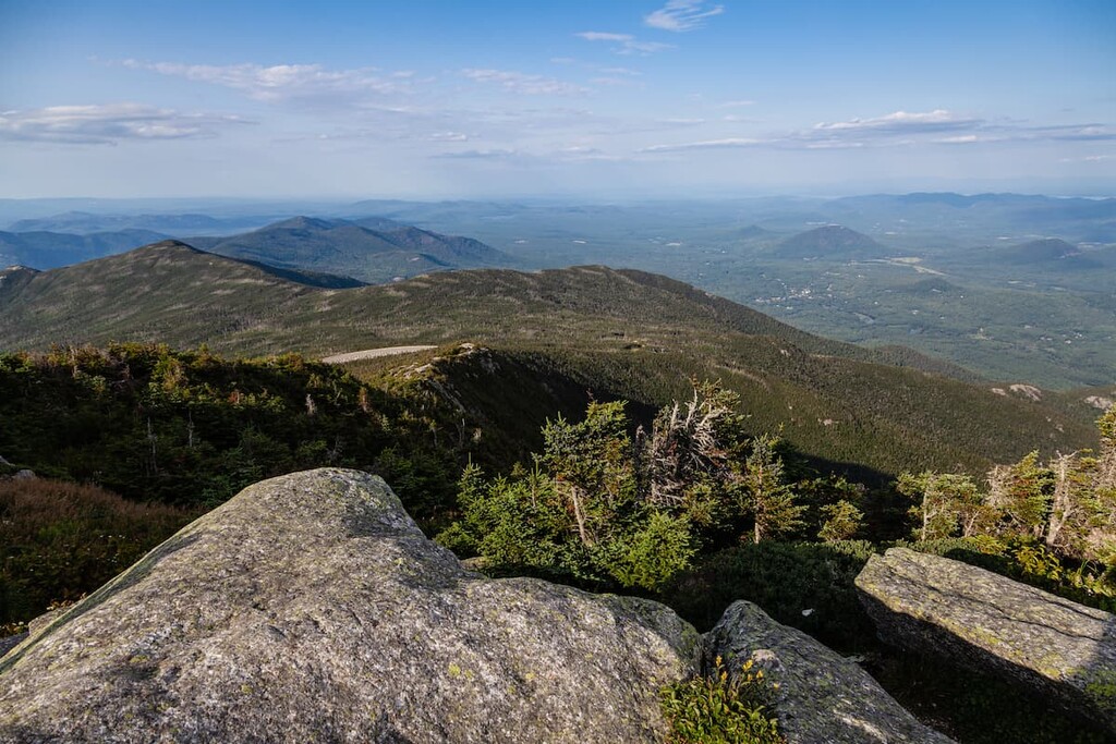
The Seward Mountains are heavily forested. At lower elevations, the mountains are mostly covered with northern hardwood forests of hemlock, beech and maple trees. At higher elevations, the pine, spruce, and larch trees of the North American Boreal Forest are common.
Unlike some of the nearby mountains in the MacIntyre Range and the Great Range, the Seward Mountains contain no high alpine vegetation. Most of the peaks have some views from the summit, but they’re not fully above the treeline.
Because of their remoteness, the Seward Mountains make a good habitat for large mammals like deer, black bears and moose. However, moose are rare in the region and the New York Department of Environmental Conservation estimates there are only about 400 moose in the whole of the Adirondacks.
Other notable animals found in the Sewards include coyotes, racoons, bald eagles, fishers, and several types of owls.
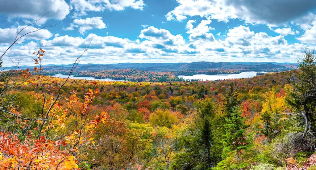
Evidence of human settlement in the Adirondacks goes back more than 11,000 years. The Mohawk (Kanienʼkehá꞉ka), the easternmost members of the Iroquois (Haudenosaunee) Confederacy, were the most dominant tribe in the Adirondacks prior to European contact.
There were about 8,000–11,000 Mohawk people living in the Adirondacks before colonization, with most living in settlements centered around what’s now called the Mohawk River, just south of Adirondack Park today. While most of the Tribal Nations in the region avoided settling in the rugged, mountainous High Peaks of the Adirondacks, many were forced to move north as pressure from colonists increased.
During the Revolutionary War, the Mohawk sided with their traditional allies, the British, and conducted successful raids against American interests in the area. In retaliation, the US military killed scores of people and destroyed 40 Iroquois villages during the Sullivan Expedition.
After the mass destruction of their villages in what is now New York, most of the Mohawk were forced to flee north to British Canada, with the rest being removed from their lands after the war. A large group of Mohawk settled at the Six Nations of the Grand River reservation.
Another group closely associated with the Adirondacks, the Saint Regis Mohawk Tribe, settled at the Akwesasne/Saint Regis Mohawk Reservation on the border between New York and Canada. There are about 30,000 Mohawk people living in the US and Canada today.
The mountains of the Seward Range were incorporated into Adirondack Park when it was first preserved in 1892. They were officially designated as wilderness land in 1972. Today, the High Peaks Wilderness is the largest wilderness area in New York state and the second largest east of the Mississippi.
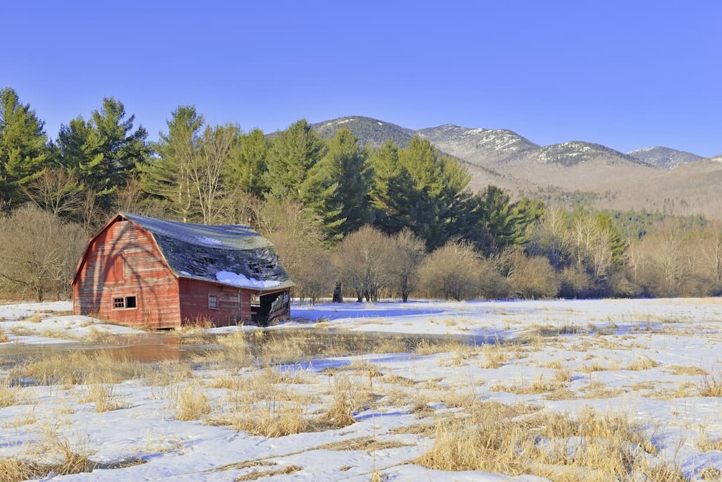
Two of the mountains of the range, Seward and Seymour, are named after former governors of New York. Seward Mountain is named for William H. Seward, who was the former governor of New Work and the secretary of state in Lincoln’s cabinet. Seward was also the driving force behind the United States’ purchase of what is now Alaska from Russia in 1867.
Mount Emmons is named for Ebenezer Emmons, a geologist who’s credited with making the first recorded climb of Mount Marcy in 1837 and naming the Adirondacks on maps of the area. The name supposedly means “bark-eaters,” a derogatory term for the Algonquin people in the Mohawk language.
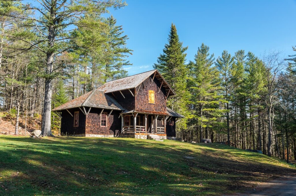
Donaldson Mountain is named after Alfred Lee Donaldson, who wrote the 1921 book A History of the Adirondacks, one of the first major histories of the region.
The first group to hike all 46 High Peaks of the Adirondacks, brothers Robert and George Marshall and their friend Herbert Clark, finished the historic project by summiting Mount Emmons in 1925. To this day, climbing the challenging Seward Mountains is popular largely thanks to aspiring Adirondack 46ers.
Hiking in the rugged, secluded Seward Mountains is challenging but rewarding. If you’re heading for the Sewards, be aware that none of the peaks have official trails to the summit, and some areas have limited water.
The herd paths in this area are fairly well defined, but they can be very steep, especially where they follow rock slides. Bring a map and compass and be prepared to scramble.
The four mountains of the range are usually hiked as two separate treks, one for the three western peaks and one separate hike for Seymour Mountain. To hit all four peaks on one trip, you’ll have to hike a grueling 21.3 miles (34.3 km) with 6,368 ft (1,940 m) of elevation gain.
Many hikers chose to camp at the Ward Brook Lean-To or Blueberry Lean-To at the base of the peaks and dayhike the two areas separately. This makes for a much more manageable trip.
The 18 mile (29 km) trek over Seward, Donaldson and Emmons is considered one of the hardest in the 46 Adirondack High Peaks. The lack of official trails means distance and elevation can vary depending on which routes you choose, but most routes are 17–18 miles (27.4 km–29 km) with 2,600–3,000 ft (792–914 m) of climbing.
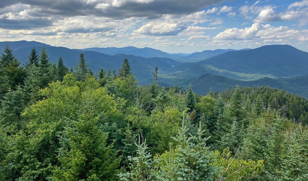
The hike starts off Corey’s Road in Tupper Lake (check conditions before heading out in winter as the road can be impassable due to snow or closed for logging). Follow Corey’s trail, where you’ll pass two herd paths marked by cairns that lead off to the right up Seward Mountain. Many hikers opt to climb the Seward Mountain Trail and descend by the Calkins Brook trail, which creates a loop with an easier descent.
The herd paths in the Seward Mountains travel through dense forest, emerging occasionally for stunning views. While there are no views from the top of Seward Mountain, there are excellent views over Saranac Lake from a boulder near the summit if you follow the path to right off the ridgeline.
If you’re continuing on to the other two peaks in the ridge, there are even more fantastic views in store. The herd path follows the ridgeline, descending a saddle and then climbing again to Donaldson Mountain and Mount Emmons.
You’ll have to retrace your steps back to Seward Mountain and descend from there. There are no herd paths linking the eastern three mountains to Seymour Mountain. The descent to Ouluska Pass from Seward is dangerous due to cliffs and major blow down.
Many hikers opt to make the 5 mile (8 km) trek into Ward Brook Lean-To and use it as a base camp for summiting the four Seward peaks. The campsite sits at the start of the herd paths over both sides of the range.
As a single hike, Seymour Mountain is 14 miles (22.5 km) with 2,355 ft (718 m) of climbing. To reach the top of Seymour Mountain, you’ll have to hike 5 miles (8 km) in from the trailhead on Corey’s Road to the Ward Brook Lean-To. Just past the lean-to, there’s a herd path leading off to the right over the mountain.
The trail follows a steep slide for a while, but that’s probably the most exciting point of the hike. The summit of Seymour Mountain is forested and doesn’t really offer views. It is an official High Peak though, so you’ll need to climb it if you want to become an Adirondack 46er.
One of the main draws to the Seward Range is the remoteness and wild terrain. That said, there are a few small towns in the area. The beautiful towns of Lake Placid, Saranac Lake, and Tupper Lake are known collectively as the “Tri-Lakes Communities.”
Tupper Lake is a town of about 3,500 residents located just west of the High Peaks Wilderness. It’s home to a historic theater, a wildlife center, and excellent parks and lakeside beaches.
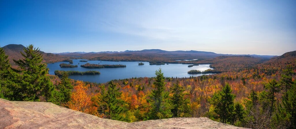
Tupper Lake also has some of the darkest skies in the entire northeast. The Adirondack Sky Center and Observatory, located near the Little Wolf Beach and Campground, is open periodically to the public. On Friday nights (weather permitting) the roll-off roof observatory is open to anyone who wants to stargaze.
Saranac Lake offers canoeists and kayakers easy access to Flower Lake and Upper, Middle, and Lower Saranac lakes, as well as plenty of arts and cultural amenities. The town is home to over 200 buildings on the National Register of Historic Place and the only year-round, professional theater in the Adirondacks.
The town of 5,000 has a thriving downtown with galleries, shops, and restaurants and it hosts outdoor concerts and monthly art walks during the summer. In the winter, the town holds a ten-day carnival, which features an ice palace and parade.
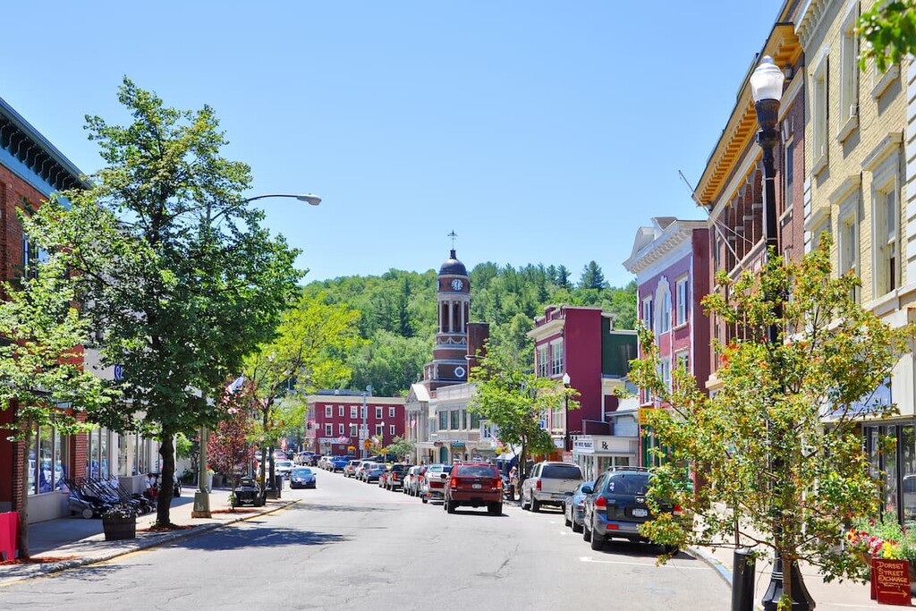
The town of Lake Placid, confusingly located just south of its namesake lake, Lake Placid, on the shores of Mirror Lake, is one of the main tourist destinations in the area. The town is about 30 miles (48 km) away from the Seward Mountains trailhead, but it’s got the most amenities for travelers of the towns in this region.
Lake Placid, which has a year-round population of about 2,300 residents, hosted the Winter Olympics in 1932 and 1980. The ski jumps, speed skating rink, and bobsled run built for the events are still in use there today.
The town is located right in the heart of the high peaks, making it easy to access nearby hiking areas like the Great Range and the McKenzie Mountain Wilderness. Visitors can also enjoy the beautiful small town with lots of arts and cultural offerings.
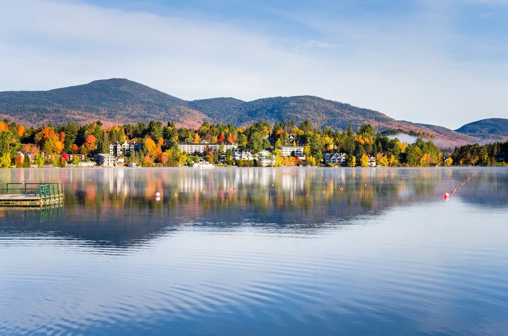
Explore Seward Mountains with the PeakVisor 3D Map and identify its summits.


