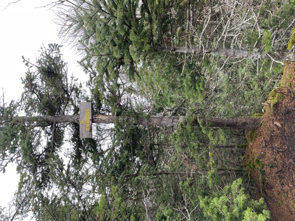
Mount Emmons is a mountain located in the Adirondack Mountains near the southern edge of Franklin County, New York, United States.
There's a hiking trail (T2) called Seward Range Trail leading to the summit. Mount Emmons is one of the 3 peaks along the Seward Range Trail.
By elevation Mount Emmons is
# 51 out of 1601 in Adirondack Park # 52 out of 3825 in New York # 46 out of 126 in High Peaks Wilderness # 4 out of 167 in Franklin County # 4 out of 4 in the Seward Mountains # 51 out of 1678 in the Adirondack Mountains
By prominence Mount Emmons is
# 96 out of 126 in High Peaks Wilderness # 4 out of 4 in the Seward Mountains
We use GPS information embedded into the photo when it is available.
3D mountains overlay
Adjust mountain panorama to perfectly match your photos because recorded by camera photo position might be imprecise.
Move tool
Rotate tool
Zoom
More customization
Choose which peak labels should make into the final photo and what photo title should be.
Next
Photo Location
Satellitte
Flat map
Relief map
Latitude
Longitude
Altitude
OR
Latitude
°'''
Longitude
°'''
Apply
Register Peak
Peak Name
Latitude
Longitude
Altitude
Register
Teleport
PeakVisor
This 3D model of Sagarmatha National Park in Nepal was made using the PeakVisor app topographic data. The mobile app features higher precision models worldwide, more topographic details, and works offline. Download PeakVisor maps today.
Download OBJ model
PeakVisor
The download should start shortly. If you find it useful please consider supporting the PeakVisor app.
PeakVisor for iOS and Android
Be a superhero of outdoor navigation with state-of-the-art 3D maps and mountain identification in the palm of your hand!