Scan the QR code and open PeakVisor on your phone
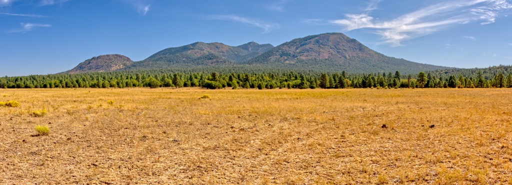
The Juniper Mountains are a north to south trending mountain range situated in the US state of Arizona. The peaks extend into multiple national forests in the region. The tallest and most prominent peak in the forest is Bill Williams Mountain at 9,258 feet (2,822 m) tall with 2,316 feet (706 m) of prominence.
The Juniper Mountains are a rugged mountain range situated in central Arizona. This north to south trending range is bound by the Black Hills in the south and relatively flat plains to the north, east, and west.
The entire range lies within Yavapai County with elevations ranging from around 3,400 feet (1,036 m) up to the summit of Bill Williams Mountain. The San Francisco Peaks are northeast of the range, surrounding the city of Flagstaff.
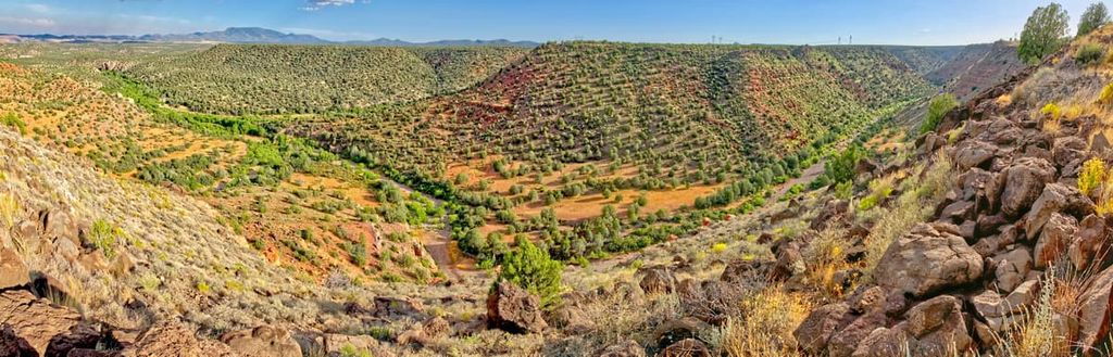
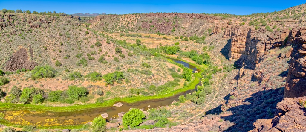
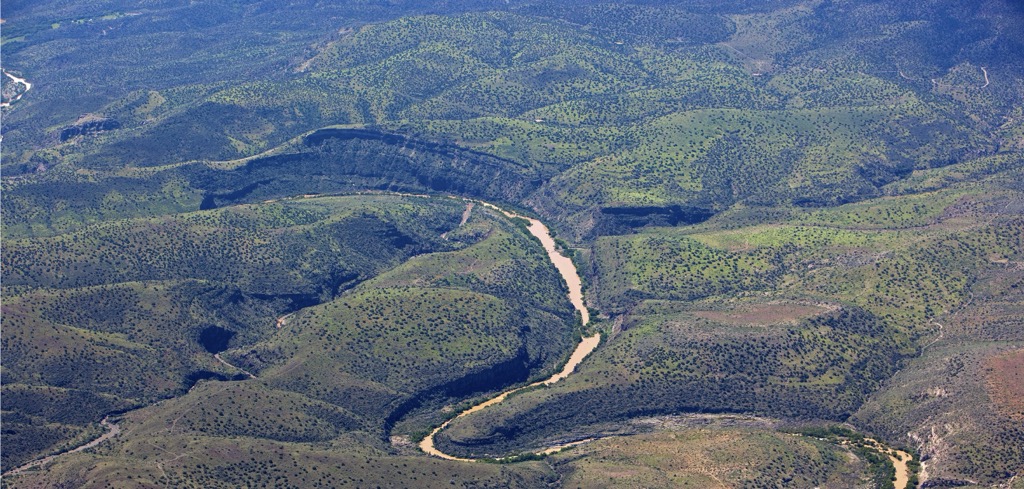
In the southern portion of the range, the Verde River, a major tributary of the Salt River, cuts across the landscape. Sycamore Creek lies southeast of the range with no other major bodies of water in the Juniper Mountains
Peaks in the range lie within multiple national forests. The southern portion of the Juniper Mountains lies within Prescott National Forest with a majority of the range being situated within Kaibab National Forest. Coconino National Forest lies a short distance east of the range.
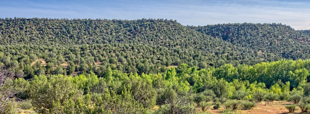
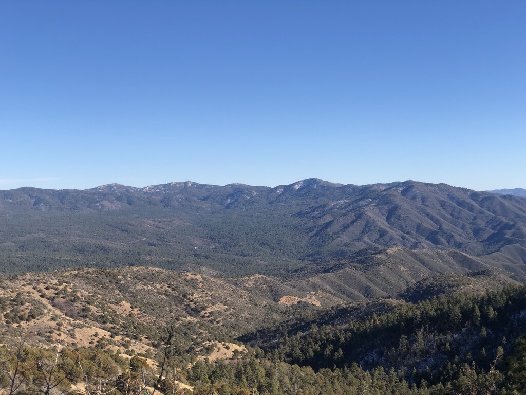
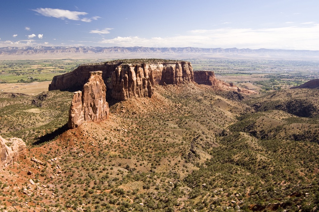
Terrain is similar to the surrounding mountain ranges, featuring a mix of rolling foothills, dramatic changes in elevation, and forested patches.
Additionally, the Juniper Mountains are surrounded by other popular outdoor recreation areas. Besides being surrounded by national forests, the Kendrick Mountain Wilderness lies northeast of the range with Tuzigoot National Monument and Red Rock-Secret Mountain Wilderness both to the southeast. The Juniper Mesa Wilderness and Apache Creek Wilderness are situated west of the Juniper Mountains. Further north of the range lies Grand Canyon National Park.
The Juniper Mountains are part of the greater Colorado Plateau. This range, along with the Black Hills to the south, lie along the Transition Zone between the plateau and the Sonoran Desert.
The Colorado Plateau is fairly young on a geological level. This region began being uplifted between 80 million and 50 million years ago, still rising to this day. Lack of folding and thrusting of the Earth’s crust has enabled this region to be very geologically stable. The Grand Canyon, which lies north of the range, has allowed geologists to study the exposed layers of rock in the region.
This uplift was caused by magma swelling up from the Earth’s mantle to the crust, slowly causing the region to rise. Millions of years of erosion have further carved out the landscape, leaving behind the rugged peaks and river canyons.
Major peaks within the range include Bill Williams Mountain, Saint Matthew Mountain, Bixler Mountain, and Dutch Kid Knoll.
The foothills of the range are characterized by flora found in the Sonoran Desert. Here hikers are likely to spot low growing grasses and shrubs. The Verde River Canyon supports a riparian ecosystem. Near the river lie cottonwoods and willows.
As elevations increase, the terrain begins to feature chaparral and mesquite shrubs. The highest peaks in the range are populated by pinyon pine and juniper woodlands. Some sections of the range are more densely forested than others with the tallest peaks often being free of flora.
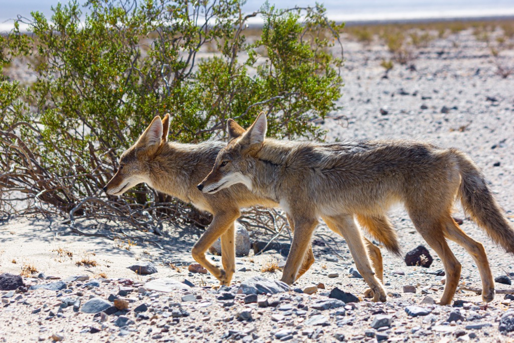
This mountainous terrain is surrounded by a vast network of national forests, allowing for a variety of animals to thrive. Common wildlife includes coyotes, mountain lions, black bears, mule deer, rabbits, bats, and javelinas. A few birds that can be found in the range are hawks, goshawks, quails, and bald eagles.
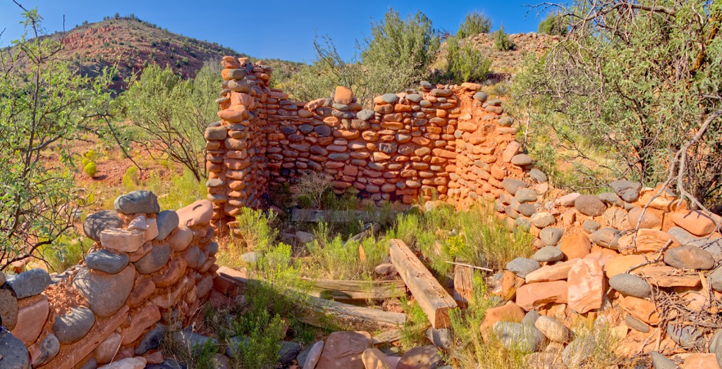
The land surrounding the Juniper Mountains has been inhabited by humans for thousands of years. Numerous Indigenous Tribes have occupied parts of this region, long before the arrival of European colonizers.
Some of the most prominent Tribes that have ancestral ties to this region are the Yavapai-Apache (Wipuhka'bah and Dil’zhe’e), Hohokam, and Hopitutskwa.
The Yavapai-Apache are descendants of the Hohokam Culture which once spanned throughout the surrounding region. They traditionally were hunters and gatherers, with small- scale gardening. This Tribe would also migrate often, depending on the changing of the seasons and presence of other Indigenous peoples.
Spanish explorers are thought to have passed through this region during the seventeenth century. Large numbers of settlers began arriving during the early nineteenth century. Many of those who arrived were Americans of European descent.
Opportunities for mining brought more people to the region, while many passed through present-day Arizona en route to the west coast of the US. This increased presence of outsiders led to numerous disputes and battles between the Indigenous peoples and the colonizers of the region.
Despite their continual efforts to protect their native homelands, the Indigenous people of the region were continually attacked, harassed, murdered, and displaced. Those who survived were forcibly moved onto reservations, often far away from their homelands.
In 1898, Prescott Forest Reserve was established and later became the Prescott National Forest in 1908. The North Kaibab District was originally protected in 1893 as part of the Grand Canyon Forest Reserve.
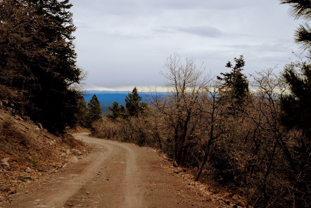
There are minimal amounts of designated hiking trails in the Juniper Mountains. A majority of the established routes lie along the foothills of the range, especially near the city of Williams. Here are some of the top hiking areas to visit in the forest:
True to its name, this route takes hikers to the summit of Bill Williams Mountain, the tallest and most prominent peak in the range. The trail begins near the city of Williams and climbs steadily through the forested landscape. Once at the summit, hikers can climb a lookout tower for panoramic views of the surrounding ranges and national forests. This out and back trail is 7.5 miles (12 km) long and features 2,385 feet (727 m) of elevation gain.
This out and back trail begins in the northern stretches of the Juniper Mountains. The scenic route approaches Bill Williams Mountain from the east, while winding through the forested hillsides. Though the trail does not reach the summit of the peak, it connects to a road that leads to the summit. The out and back trail is 5.8 miles (9.3 km) in length and features 1,456 feet (444 m) of elevation gain.
Summit Mountain lies in the center region of the range, along its eastern edge. The forested route begins to thin near the summit and offers views of the rolling hillsides. Hikers are likely to spot a variety of wildflowers during the spring and summer months of the year. This route is 2.5 miles (4 km) in length and features 652 feet (199 m) of elevation gain.
Looking for a place to stay near the Juniper Mountains? Here are some of the best cities and villages to check out in the region.
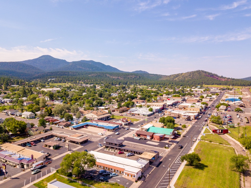
The small city of Williams, lies along the northern edge of the Juniper Range. Situated along the Historic Route 66, Williams is home to the headquarters for the Kaibab National Forest. Williams is home to around 3,200 residents and features Americana-style shops and restaurants.
Known for being the gateway to Grand Canyon National Park, the city’s economy is centered around tourism. Throughout the year visitors have a plethora of outdoor activities to enjoy. While the summer months are ideal for hiking and backpacking, the winter months provide visitors with opportunities for cross country and alpine skiing.
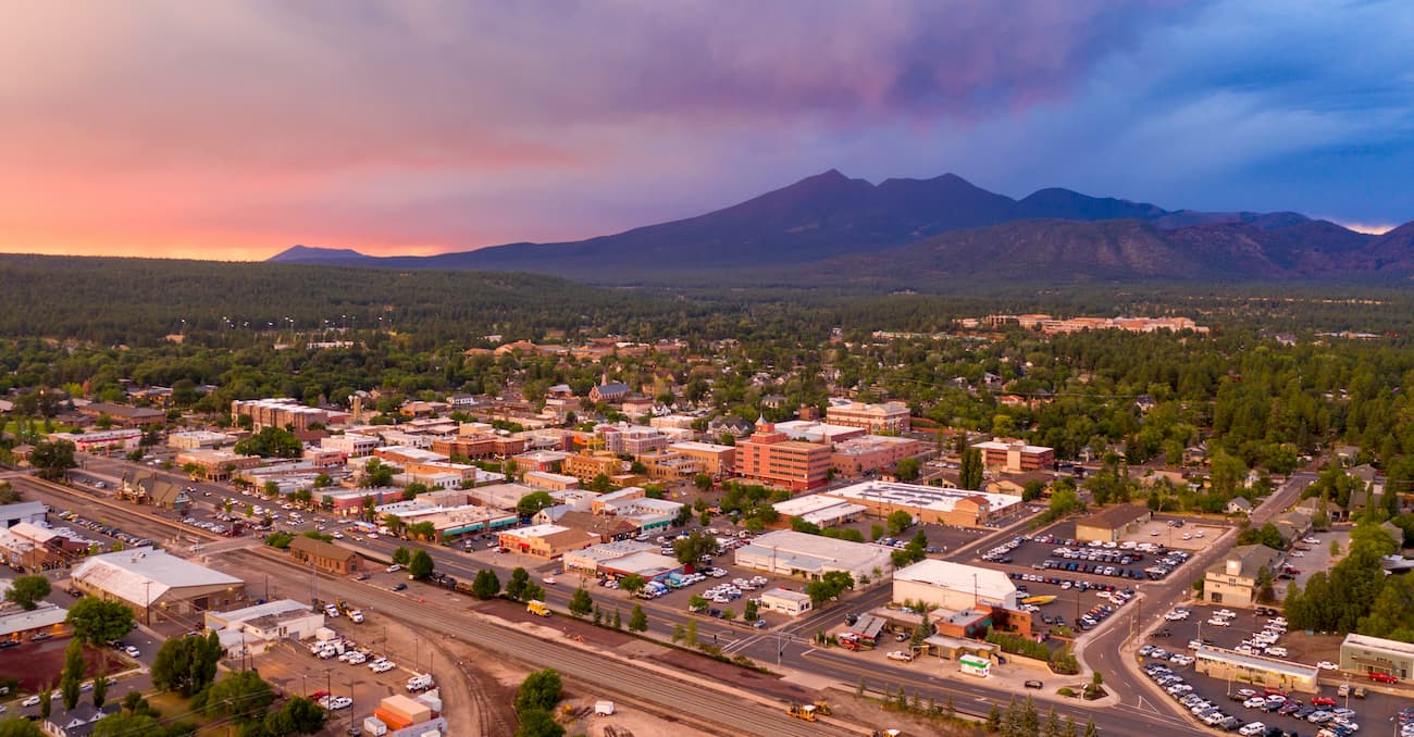
Located just northeast of the range, Flagstaff lies in the heart of the Coconino National Forest. Home to around 75,000 residents, the city is known for being an outdoor paradise. Flagstaff is surrounded by one of the largest contiguous ponderosa pine forests in all of North America at an elevation of 7,000 feet (2,134 m).
Besides being surrounded by hundreds of miles of trails for hiking, biking, and trail running, Flagstaff also sits near the base of Humphreys Peak, the tallest mountain in the entire state. During the winter months, visitors can ski at the nearby Arizona Snowbowl Ski Resort. The downtown streets are lined with local shops, businesses, restaurants, and breweries.