
Scan the QR code and open PeakVisor on your phone
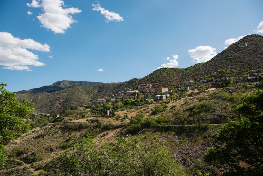
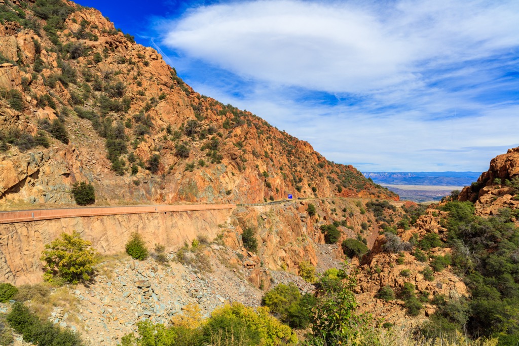
The Black Hills are located in Yavapai County in Arizona, USA, east of Prescott and west of the Verde Valley. They lie near the transition zone between the Colorado Plateau and the Sonoran Desert and are part of Prescott National Forest. There are 43 mountains in the range. Mingus Mountain is the tallest (7,736 ft/2,358 m) and Pine Mountain (6,811 ft/2,076 m) is the most prominent (2,073 ft/632 m).
The Black Hills are a small range running generally northwest-southeast in north-central Arizona. They are located in Yavapai County, slightly east of Prescott. Prescott National Forest protects most of the range, although some parts fall within the neighboring Tonto National Forest.
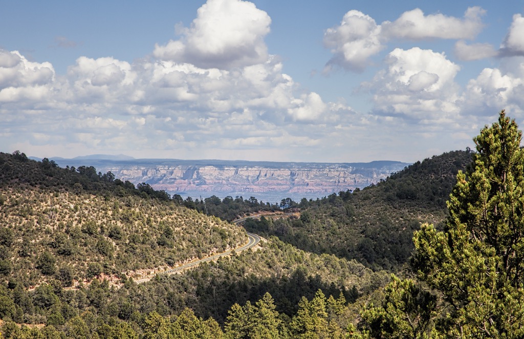
The range is surrounded by the Verde Valley, Sycamore Canyon Wilderness, Woodchute Wilderness, and West Clear Creek Wilderness. Views from the summits sweep across these landscapes, as well as Sedona’s impressive red rock formations.
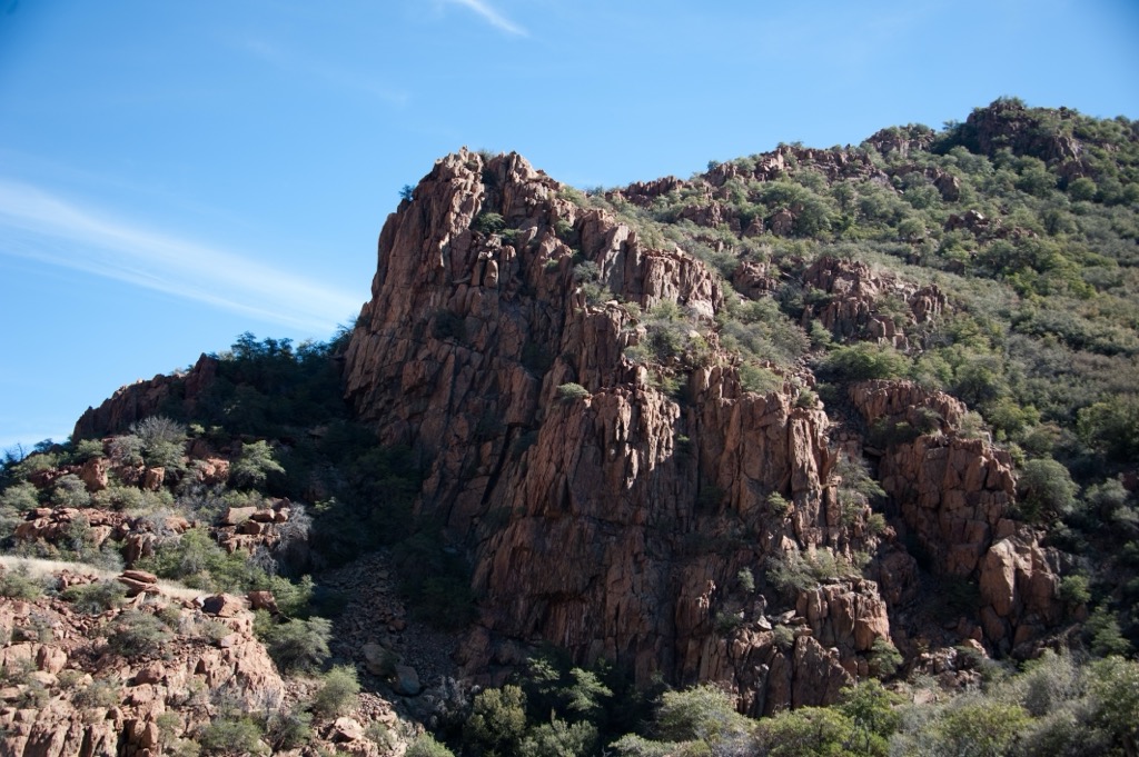
The most prominent peak, Pine Mountain (6,811 ft/2,076 m), is protected by the Pine Mountain Wilderness. This wilderness is a little over 20,000 acres (8,090 ha) and sits on the boundary between Prescott and Tonto National Forests. It preserves stands of ponderosa pine and Douglas fir surrounded by desert mountains and dry mesas.
Mingus Mountain (7,736 ft/2,358 m) is the tallest peak and has a road to the top, a lookout point, a picnic site, and campsites near the summit and on its lower slopes.
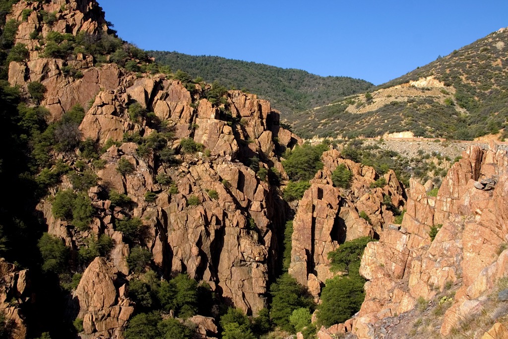
The Black Hills are part of the Colorado Plateau close to the transition zone with the Sonoran Desert. The southeastern part of the range is composed mainly of Bradshaw granite while the western foothills contain chlorite and sericite schists.
The Colorado Plateau formed fairly recently. It raised approximately 0.6 mi (1 km) from 80 to 50 million years ago, and a further 0.9 mi (1.5 km) from 40 to 5 million years ago. Hot magma from the Earth’s mantle swelled beneath the crust causing the plateau to uplift.
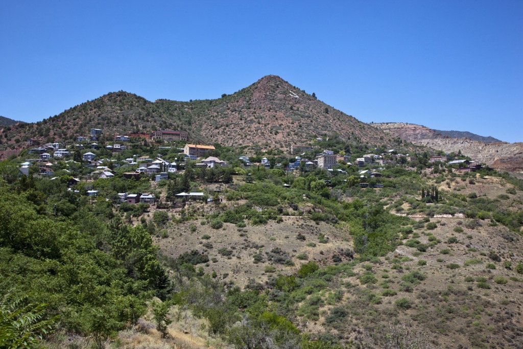
The Black Hills have been mined for lead, silver, and gold, though not to the same extent as the nearby Bradshaw Mountains.
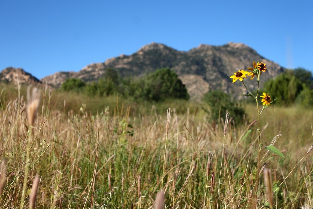
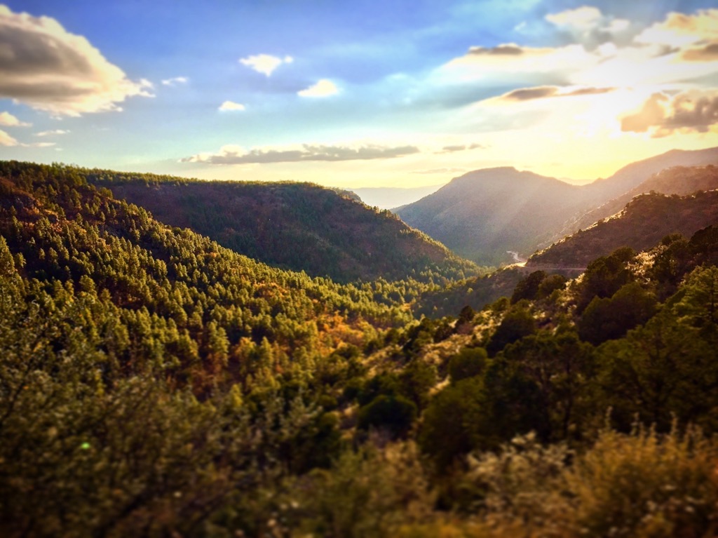
From Sonoran Desert at the base to stands of ponderosa pine at the summit, the Black Hills encompass several habitat types. Climbing up the lower slopes, Sonoran Desert transitions to mesquite shrub, chaparral, and then to piñon pine and juniper woodlands. Other vegetation include Arizona cliffrose, hualapai milkwort, and ripley’s buckwheat.
Thousands of years of precipitation and snowmelt have carved out deep canyons. Where water flows, such as in Verde Canyon and Oak Creek, the canyon bottoms support lush riparian ecosystems with willows, cottonwoods, fish in the streams, river otters, garter snakes, frogs, flycatchers, and cuckoos.
The mountains provide habitat for wildlife including mule deer, bobcats, coyotes, mountain lions, black bears, javelinas, rabbits, and bats. A few of the birds that prefer this habitat are bald eagles, hawks, goshawks, and quails.
The region around the Black Hills is the traditional territory of the Yavapai-Apache (Wipuhka'bah and Dil’zhe’e). This tribe occupied central Arizona along the Verde Valley for several hundred years but were forced to move to reservations after gold was discovered in the late 1800s.
The Yavapai-Apache are descended from the Hohokam Culture and their language is similar to that of the Havasupai and Hualapai. They hunted, gathered, and did some small scale agriculture and gardening. This tribe moved often and tended to have conflict with other groups. They were also excellent basket makers and traded their baskets with the Navajo and Apache.
Early Spanish explorers and missionaries first arrived in Arizona in the late 1500s, but settlers didn’t begin arriving in large numbers until the 1820s. As outsiders began to compete for the same resources, violence increased and resulted in the death of many indigenous people.
The Prescott Forest Reserve was first set aside in 1898 and became Prescott National Forest in 1908. This area was established in order to protect water sources for surrounding communities.
A couple top spots in the Black Hills are Mingus Mountain and Pine Mountain Wilderness. Mingus Mountain has a campground near the top and a picnic area. The Pine Mountain Wilderness is closed to all motorized vehicles and open only to hikers, backpackers, and horseback riders.
The Pine Mountain Loop combines several trails in the Pine Mountain Wilderness – Pine Mountain Trail #14 (1.2 mi/1.9 km), Nelson Trail #159 (8.7 mi/14 km), Verde Rim Trail #161 (6.1 mi/9.8 km), and Willow Spring Trail #12 (1.5 mi/2.4 km).
The west side of Pine Mountain burned during a 1989 wildfire. Ponderosa pine is starting to grow back, and native grasses grow in the clearings. Old growth junipers still provide shade where the fire missed them.
The loop offers views of the Mazatzal Mountains to the east, the Four Peaks to the south, and the Bradshaw Mountains to the west.
There is a road up Mingus Mountain and a handful of facilities at the top. A scenic lookout point takes in the Verde Valley, Sedona’s Red Rocks, Humphrey’s Peak in Flagstaff, and the Mogollon RIm. There is a picnic spot, a campground, and several trails to explore the top and get a few more impressive views.
The Butterfly Trail #536 is 1.5 mi (2.4 km) to the junction with the two other trails. Middle Trail #537, if taken with Butterfly Trail, makes a 2.4 mi (3.8 km) loop. West Rim Trail #538 is 2 mi (3.2 km) total, out and back.
There are several campgrounds within the Black Hills and Prescott National Forest. The small city of Prescott is only 45 minutes away by car and Phoenix is just two hours to the south.
Prescott, Arizona is a 45 minute drive southwest from the Black Hills. The city has a population of 47,000 people. It is surrounded by hundreds of miles of trails in Prescott National Forest that are open to hikers, mountain bikers, and horseback riders. Watson Lake is not far from town and a great spot to fish, boat, paddle, and rock climb.
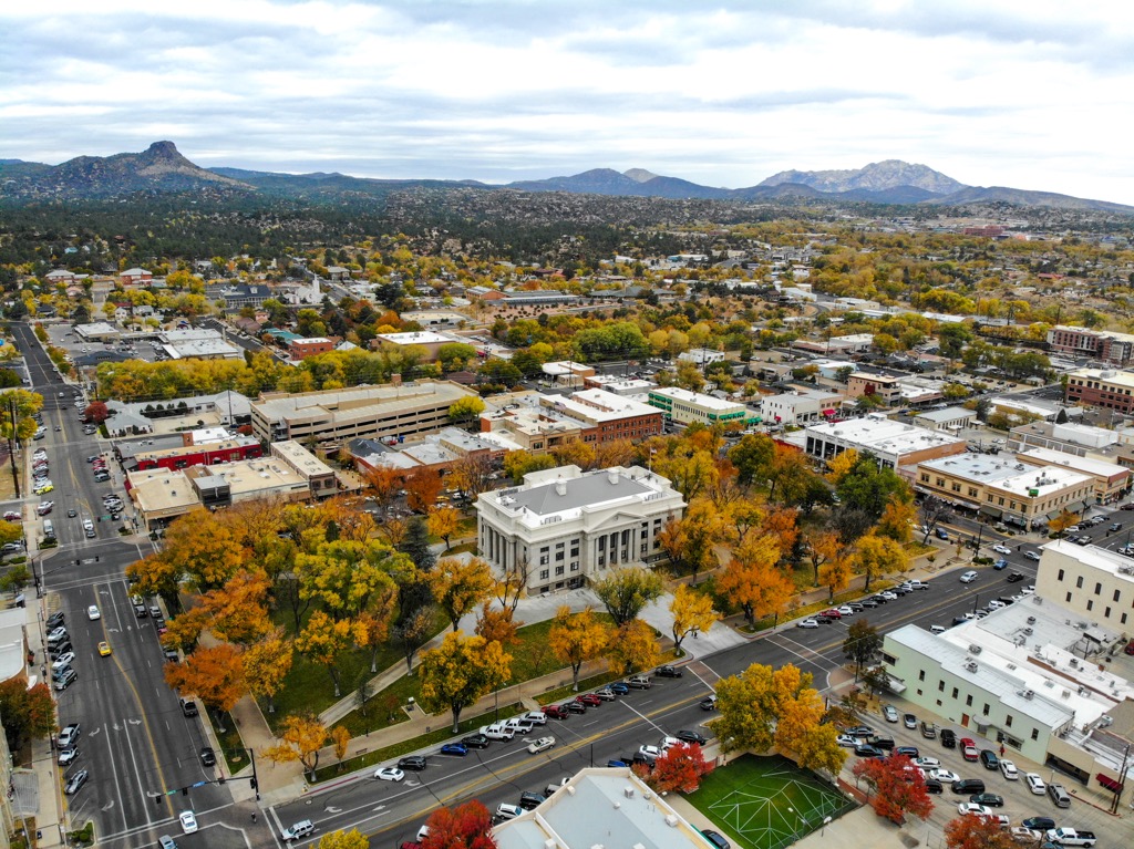
In town, Whiskey Row embodies the city’s Old West feel with a number of old time saloons. The Sharlot Hall Museum offers events and an interactive experience to learn more about Arizona’s history.
If you’re looking for food around town, you’ll find options of brewpubs, grills, farm-to-table restaurants, Italian, Mexican, and cafes. Lodging spans hotels, lodges, and inns for all budgets, as well as campgrounds and RV parks near town.
Phoenix, Arizona’s capital, is home to 1.625 million people and is a two hour drive to the south. Surrounding the city are great opportunities to explore the Sonoran Desert, hike up Camelback Mountain, and paddle along the Salt River.
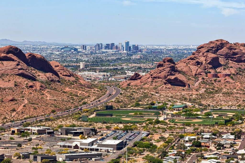
Learn more about Phoenix’s culture and history by visiting the Heard Museum with its in-depth exhibits celebrating the numerous Native American cultures that have called the region home. Or else stop by Taliesin West, Frank Lloyd Wright’s winter home, and the Phoenix Art Museum.
The city houses a robust food scene. Sample tacos and other authentic Mexican food, locally inspired dishes and drinks such as prickly pear margaritas, or enjoy fine dining and cutting edge menus created by up-and-coming chefs. From guest ranches and resorts, to centrally located hotels and motels, to cute B&Bs and campgrounds, the city has accommodations to suit everyone.


