Scan the QR code and open PeakVisor on your phone
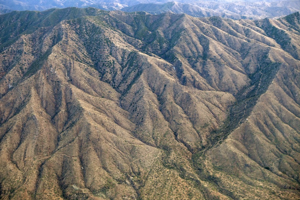
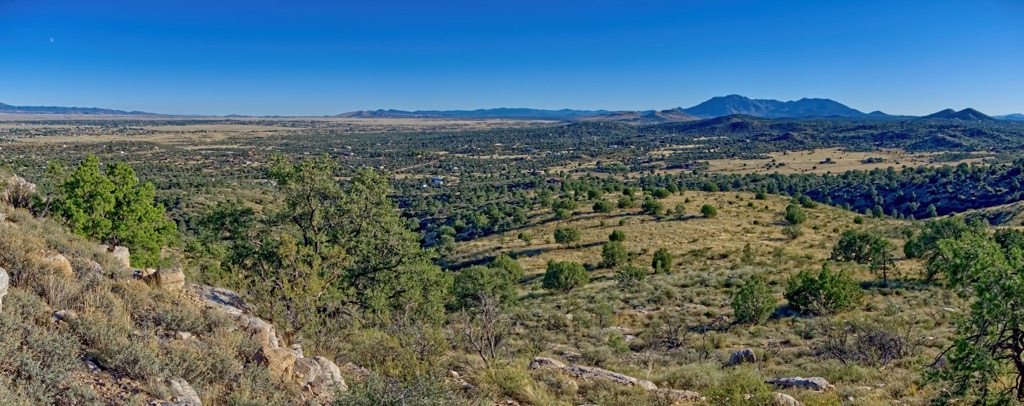
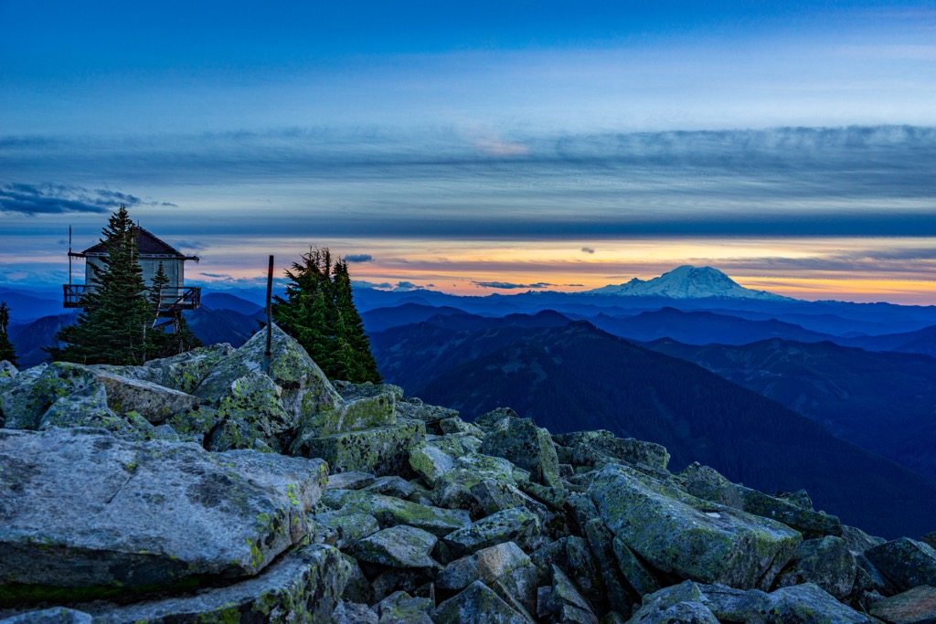
The Bradshaw Mountains run north-south in Prescott National Forest in Arizona, USA. The range measures approximately 40 mi (65 km) long and 25 mi (40 km) wide and is composed primarily of granite, featuring several ecosystems including extensive stretches of ponderosa pine forest. There are 89 named mountains in the range. Mount Union is the tallest and most prominent in the range, measuring 7,969 ft (2,429 m).
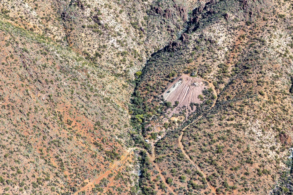
Located in Prescott National Forest in central Arizona, the Bradshaw Mountains hold the distinction of being one of the most mineralized ranges in the world. The range, measuring approximately 40 mi (65 km) long and 25 mi (40 km) wide, has been mined for gold and silver since at least the mid-1800s. The tallest peak in the range is Mount Union (7,969 ft/2,429 m).
Two wilderness areas overlap the range. The Castle Creek Wilderness covers 25,517 acres (10,326 ha) and runs along the eastern slopes of the range. It encompasses rugged granite peaks and overlooks the Agua Fria River.The Granite Mountain Wilderness lies to the north. It spans 9,799 acres (3,966 ha) near Prescott and features huge granite boulders stacked on top of each other. There are several hiking trails and climbing is permitted although no new anchors are allowed. Although the wilderness area is close to town, it remains a great spot for viewing wildlife.
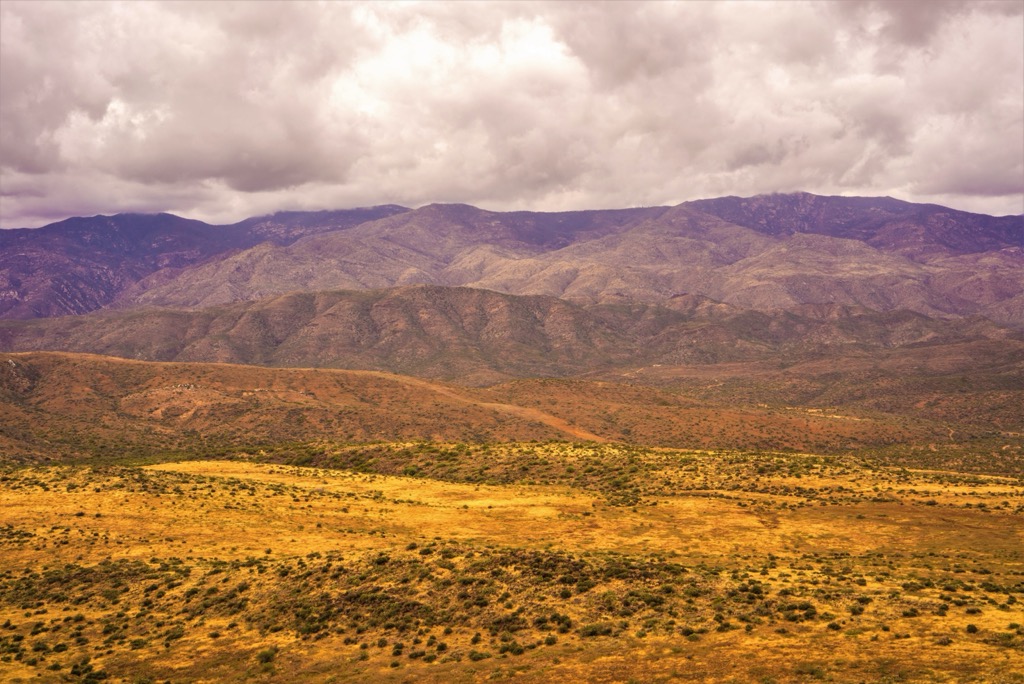
The Bradshaw Mountains lie on the Colorado Plateau and are part of the Basin and Range region. The range is highly mineralized, containing ample sources of gold and silver, as well as copper, lead, manganese, and tungsten.
The core rock is Bradshaw granite, interspersed with Precambrian schist and other intrusive rocks. As parts of the range were raised through geologic uplift, older rocks are overlaid by younger tertiary rocks such as basalt.
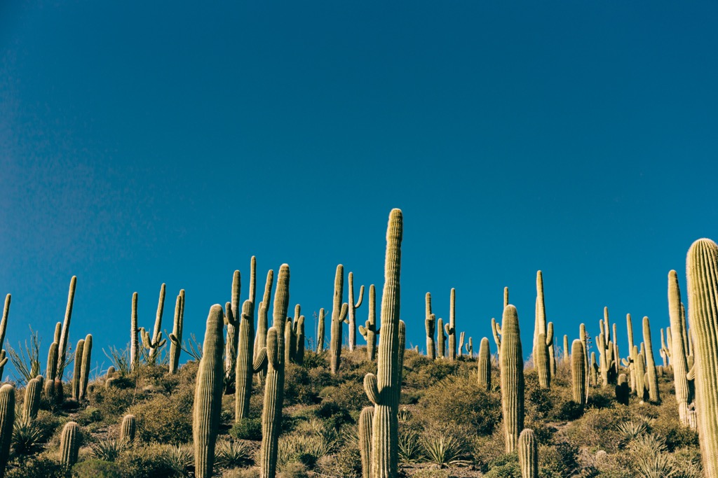
From the upper Sonoran desert along the mountain base to the mixed conifer forests at high elevations, the range takes in several plant communities. Along the desert floor, saguaro cacti, palo verde, and mesquite grow in abundance. Climbing the slopes, the desert transitions to grasslands and then thick swaths of chaparral.
From there, the forest becomes primarily ponderosa pine until reaching the mixed conifer forests of Douglas fir and white fir between 7,000 and 8,000 ft (2,130 and 2,440 m). Other trees present in the forest include pinyon pine, alligator juniper, and Arizona whiteoak.
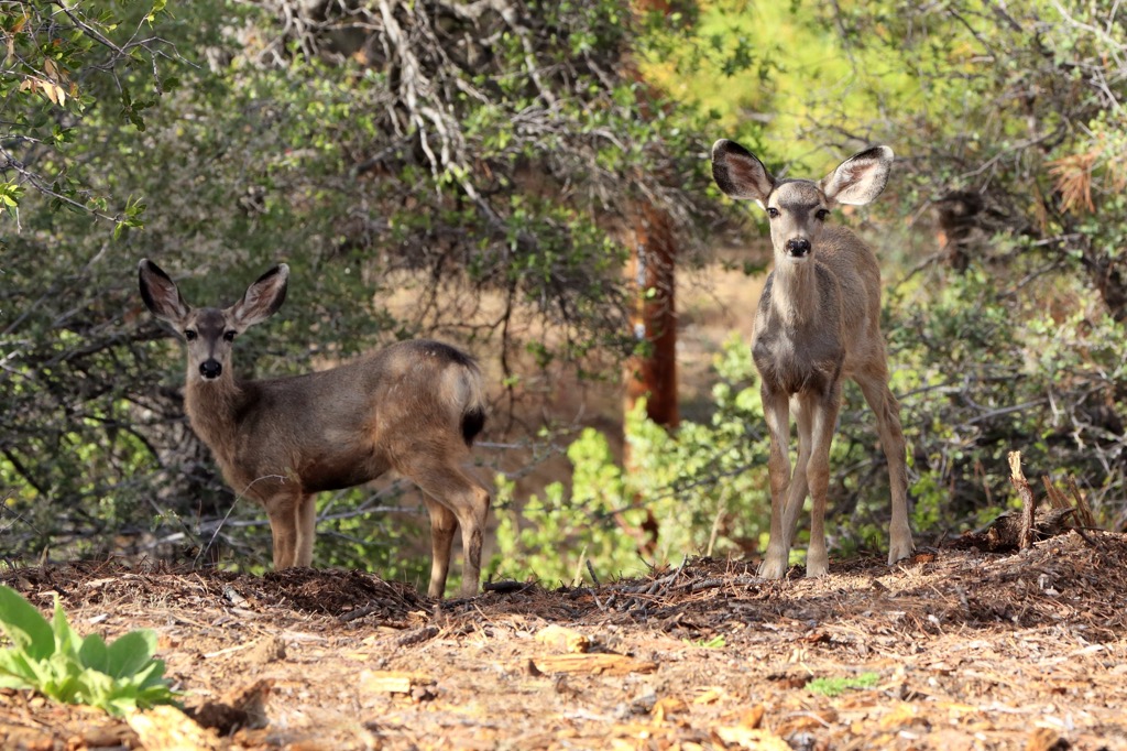
Daytime temperatures average 50 F (10 C) in winter and 70 F (21 C) in summer. The range is home to wildlife including deer, javelina, foxes, coyotes, black bears, mountain lions, rabbits, snakes, lizards, and a wide range of Southwestern birds.
The region was originally home to the Hohokam people, a prehistoric group of Native Americans who cultivated maize in addition to hunting and gathering. Their culture grew and expanded for centuries before beginning to taper off around 1100 AD.
Later, the area around the Bradshaw Mountains became home to the Yavapai Apaches. The Apaches migrated into the southwest from the north, driven out of the region by conflict. While they maintained a hold in the southwest for several centuries, the influx of settlers arriving through westward expansion ultimately led to several decades of escalating conflict known as the Apache Wars. They concluded around 1873 when the Apaches surrendered.
Following the Apache Wars, settlers from the US and Mexico were able to establish themselves more easily in the region and quickly moved to build on earlier mining operations.
The first purchase of mining rights in the mountains occurred in 1853, although arrastras indicate that Mexicans had been mining gold prior to this. Early mining operations experienced conflict with the local Apaches. One of the most significant altercations occurred in 1864 at a site later named Battle Flat.
The largest mine, the Crowned King Mine, was identified in 1875 at an elevation of 5,835 ft (1,780 m). The mining town that popped up around it had 500 buildings, including a post office, and electricity and a telephone as these then new inventions became accessible.
Another significant mine is known as the Tiger. Both the Tiger and the Crowned King Mine operated from the late 1800s through the early 1900s, though experienced periodic shutdowns due to management conflict.
The mountains are named after William D. Bradshaw, a prospector who arrived in the region as part of the Walker and Weaver Expedition in the early 1860s. Today, the trails and abandoned towns and mining sites in the mountains provide excellent recreational opportunities.
Many trails cross and explore the range, offering the option to enjoy the area by biking, hiking, climbing, horse riding, camping, and even gold panning.
The Groom Creek Loop Trail #307 to reach Spruce Mountain (7,684 ft/2,342 m) measures 8.7 mi (14 km). It is a beautiful trail through wooded high country that passes through stands of ponderosa pine and Gambel oak on the way to the summit. Contrary to its name, the summit has no spruce trees, but it does support Douglas fir and other cone-bearing trees. At the top, you will find a lookout tower (open when manned), a picnic area, and a vault toilet.
There is an equestrian camp near the trailhead and it is a popular trail with riders. The trail is also open to mountain bikers. Dogs must be on leash.
Combine Dandrea Trail #285 and Yankee Doodle Trail #284 to summit Mount Union (7,969 ft/2,429 m), the tallest peak in the range. Dandrea Trail is 3 mi (4.8 km) on its own, and less to reach the intersection with the Yankee Doodle Trail. It passes by both old mining sites and forests of ponderosa pine, fir, and gambel oak interspersed with aspen groves, grasses, and wildflowers in summer.
For a while, the trail follows an old road from the community of Potato Patch to the saddle below the Mount Union lookout tower. At the saddle, the trail intersects with Yankee Doodle Trail.
Yankee Doodle Trail is one of the longest trails in the range, measuring 12.1 mi (19.5 km) one way. It begins by climbing Longfellow Ridge. It then heads north as it crests Yankee Doodle Peak (7,054 ft/2,150 m) and the western face of Moscow Peak. Near the top of Mount Union, a short spur trail leads to a picnic site and tower at the summit. The views from the top are breathtaking.
The trail is open to hikers, horses, mountain bikes, and OHVs. It is best to be aware of all users while recreating here. Also note that there is no reliable water along the trail.
Beginning around 6,830 ft (2,080 m) elevation, the Bradshaw Trail is 6.2 mi (10 km) one way. At lower elevations, the path cuts through thick chaparral and is relatively flat. As it begins to climb, the trail becomes steeper and enters ponderosa pine forest. Climbing further, you’ll pass beautiful aspen groves and riparian vegetation. There was lots of mining in this part of the range during the late 1800s and early 1900s and signs of this activity remain.
The trail is open to motorized vehicles. However, some sections are steep, narrow, and rocky and other parts may be blocked by fallen trees.
Located in the Granite Mountain Wilderness, three trails form a 6 mi (9.7 km) loop around Little Granite Mountain (7,093 ft/2,162 m). This includes Granite Mountain Trail #261, Little Granite Mountain Trail #37, and Clark Spring Trail #40. It’s a great trail for spotting wildlife and offers impressive views along the way.
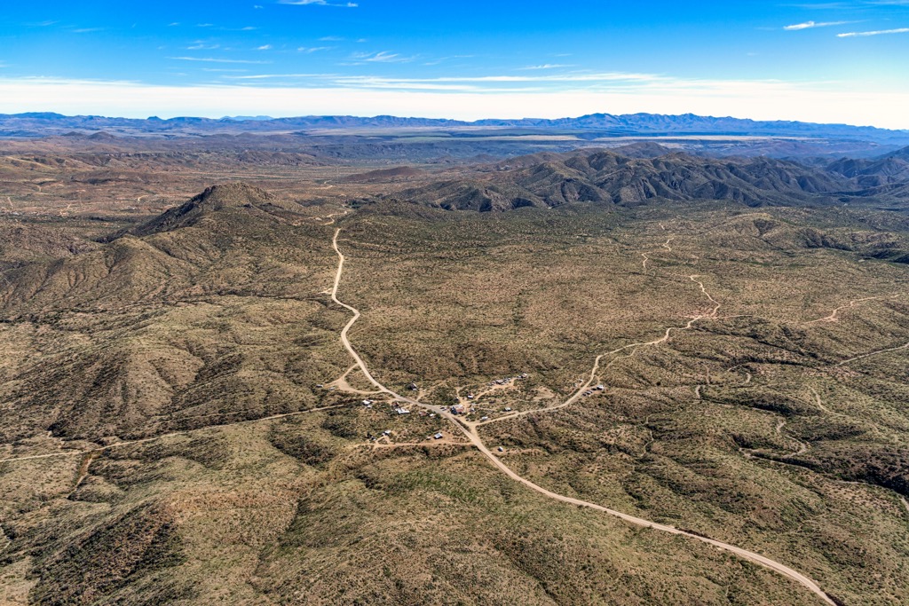
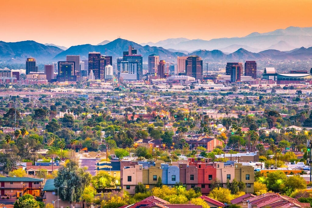
The Bradshaw Mountains lie close to Prescott, Arizona, with a population just over 45,000 people. Prescott offers live music, museums about the indigenous people of the region, and access to prime birding at Watson Lake. The larger cities of Phoenix and Flagstaff lie only a short distance away to the south and north respectively.
Phoenix has a population of 1.625 million people. A hike up Camelback Mountain or running or biking in Papago Park, a trail system through a series of red rock formations, is a great way to take in the region’s natural beauty. The Heard Museum is well-known for its displays on Native American art and culture, and the Phoenix Art Museum and Roosevelt Row arts district are top destinations for art fans.
The city embraces its roots in its dining scene by offering many dishes infused with local ingredients like peppers and prickly pear. There are top notch Mexican restaurants, international cuisines, and American classics such as delis, steakhouses, cafes, and diners. For lodging, there are hotels in the heart of the city, peaceful guest ranches and resorts surrounded by nature nearby, or campgrounds, RV parks, and B&Bs.
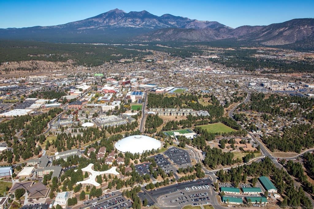
With a population of 77,000 people, Flagstaff, Arizona offers prime all-season outdoor adventures. The city is surrounded by the world’s largest ponderosa pine forest and miles of trails. At around 7,000 ft (2,130 m) elevation, the city receives over 100 in (255 cm) of snow in the winter. The area draws people every year to take advantage of the excellent hiking, mountain biking, climbing, skiing, and snowboarding opportunities.
Flagstaff is a great home base for a number of day trips including to Grand Canyon National Park, the Wupatki National Monument, the Walnut Canyon National Monument, and the Sunset Crater Volcano National Monument.
There is a diverse dining scene in the city with some excellent southwestern and Mexican options. Those hoping for something different can choose from a mix of international cuisines, BBQ and burger joints, and cozy cafes. If you’re looking to stay for a few nights, options include hotels, B&Bs, cabins and yurts, campgrounds, and RV parks.