
Scan the QR code and open PeakVisor on your phone
The stunning forests of the Owens River Headwaters Wilderness are located in the eastern portion of the US state of California. This federally protected region contains 23 square miles (59 sq. km) of land and is home to four named peaks, the highest and most prominent of which is San Joaquin Mountain (11,578ft/3,529m).
The Owens River Headwaters Wilderness is located in the eastern part of the Sierra Nevada range, close to California’s border with the state of Nevada. It is located mostly within Mono County and is partially within the borders of Madera County.
The Wilderness is located in one of the most mountainous regions of California. It is in the middle of a large swath of public land and is completely surrounded by federally-managed forests and parks.
Inyo National Forest is responsible for the management of the Owens River Headwaters Wilderness area. The wilderness is bounded to the east by the rest of the Inyo National Forest. To the south lies the Sierra National Forest, including the John Muir and Ansel Adams Wildernesses.
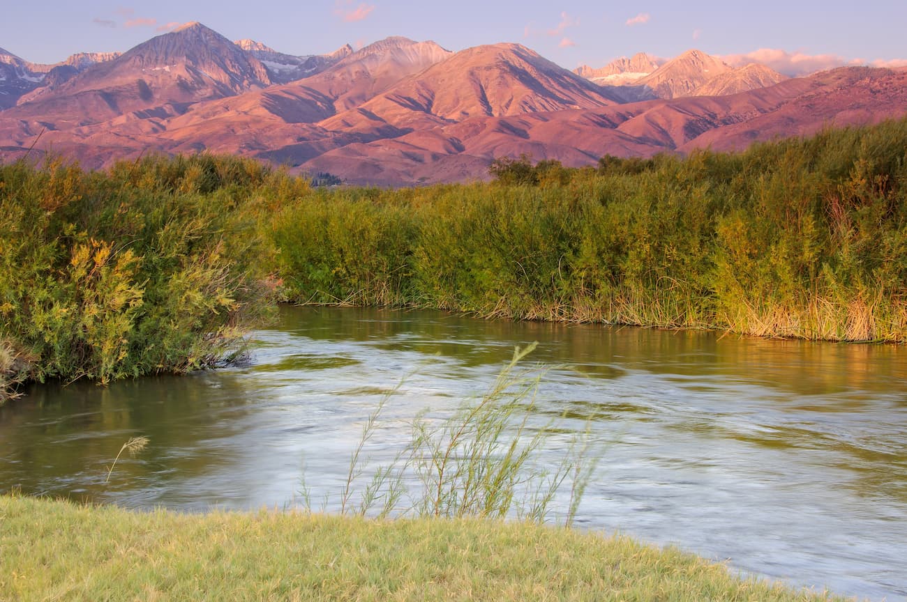
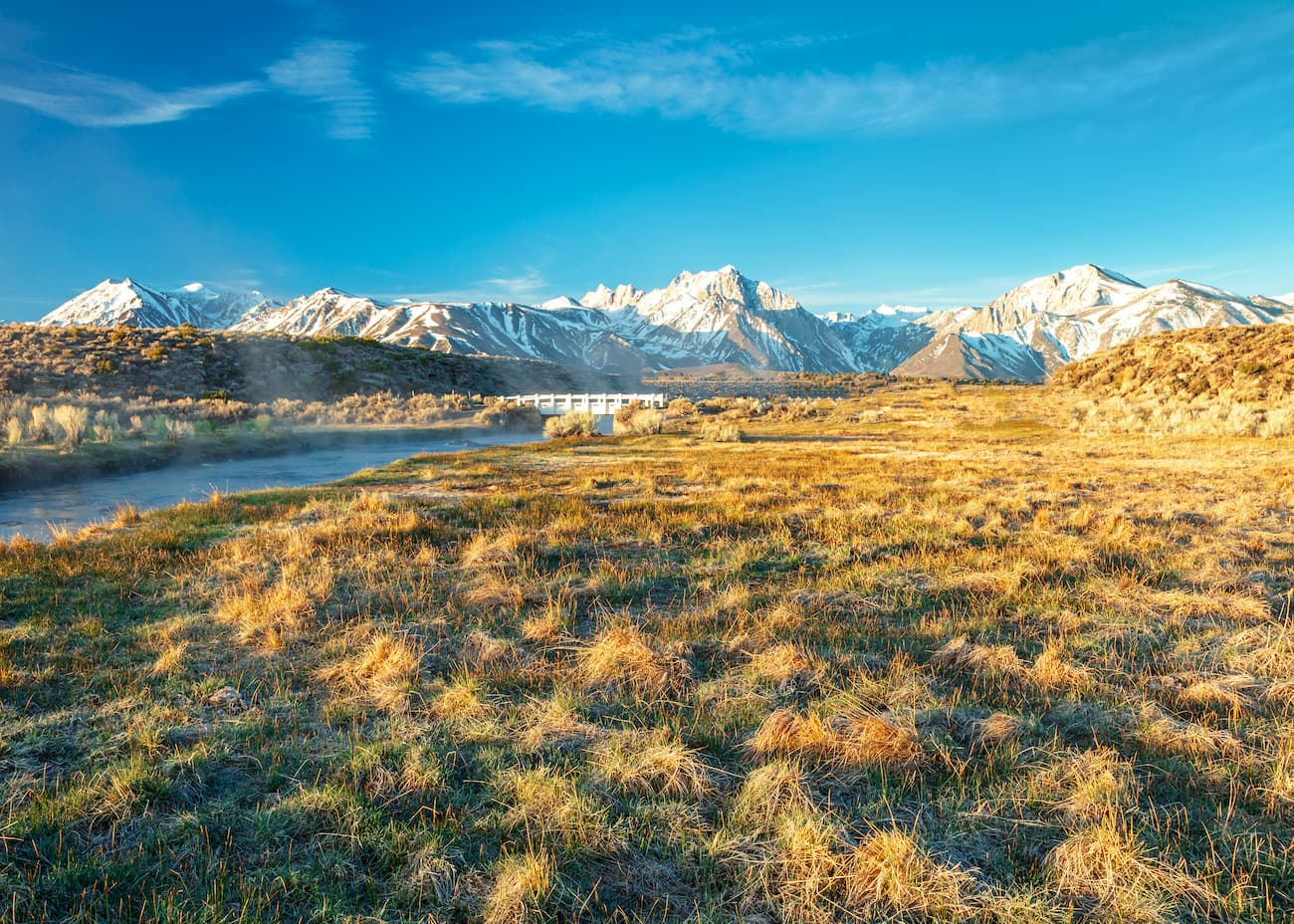
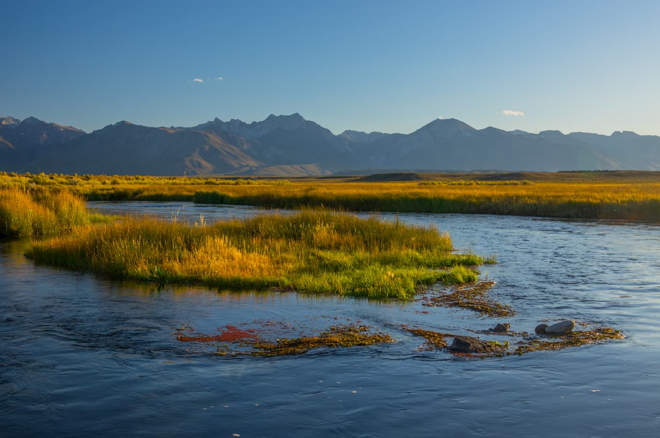
The wilderness is home to the headwaters of the Owens River, which was one of the main impetus behind the region’s protection. It drains a massive basin of water that separates the Sierra Nevada from the Inyo and White Mountains.
The Owens River runs for some 183 miles (295km) through the Owens Valley to its terminus at Owens Lake near the town of Lone Pine. This lake is situated between Sequoia and Kings Canyon National Parks to the west and Death Valley National Park to the east.
The Owens River forms the valley that separates the Sierra Nevada from the Inyo and White Mountains. Interestingly, the valley is one of the deepest in the United States, with the highest peaks reaching over 14,000 feet (4,300m) and the valley floor reaching an average elevation of around 4,000 feet (1,220m).
Geologically, the valley is what’s known as a graben, which is a block of crust that has dropped down in between two faults. Due to its geological origins, the Owens Valley is quite flat at the bottom but has steep walls on either side.
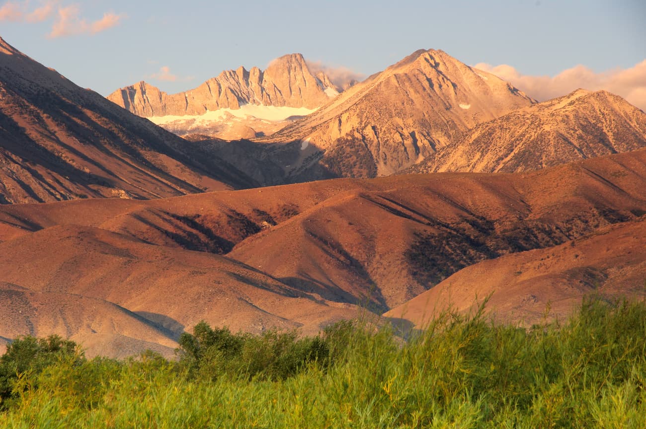
From its headwaters at the summit of San Joaquin Mountain, the first 30m (48km) of the Owens River actually runs through igneous rocks from the Long Valley Caldera. This is a huge 20 mile (32km) wide crater that was formed as a result of a massive volcanic eruption over 760,000 years ago, which also created Mammoth Mountain.
Additionally, when the region was covered with an extensive ice sheet during the Pleistocene glaciation, runoff from these glaciers fed a large amount of water into what would later become the Owens River. Due to this substantial volume of runoff, the Owens River was much larger than its current size during the Pleistocene era.
One of the major reasons that the Owens River Headwaters area is a formally designated wilderness is its abundance of flora and fauna. In particular, the Owens River Headwaters Wilderness is home to the largest old-growth red fir forest in the eastern Sierra.
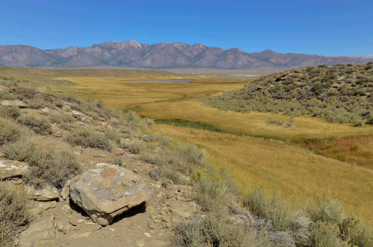
Interestingly, this area is substantially wetter than the surrounding region. This is mostly because the mountains surrounding the Wilderness are much lower than what you’d find elsewhere along the crest of the Sierra. Due to these relatively low lying mountains, moisture from the Pacific is able to make it to the eastern side of the range, creating the perfect conditions for flora and fauna to thrive.
The region is also known for its alpine meadows, of which Glass Creek Meadow is perhaps the most famous. Glass Creek Meadow is actually the largest subalpine meadow in the eastern Sierra and is a well-known habitat for the Yosemite toad, a near-threatened species.
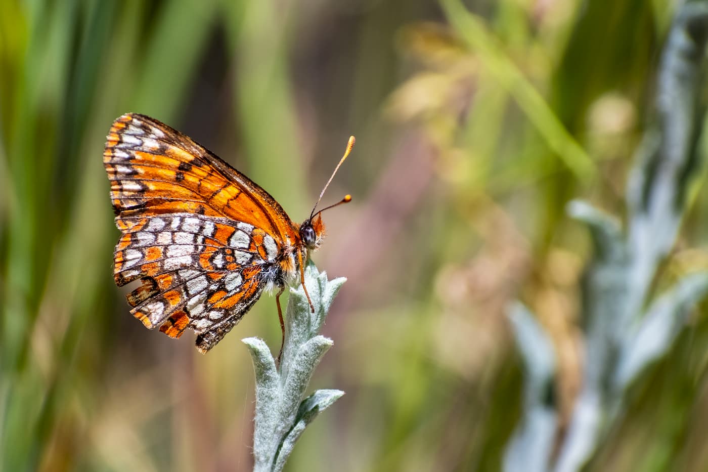
Plus, the Owens River Headwaters Wilderness is home to a wide diversity of butterflies, which some visitors are lucky enough to see on their travels. Other wildlife in the area includes mule deer, Sierra Nevada bighorn sheep, black bear, and pine marten. The area is also a very popular fly fishing location, thanks to its large population of rainbow and brown trout.
The area around the Owens River Headwaters and the Owens River Valley has been home to humans for nearly ten thousand years. Both the Paiute and the Shoshone consider the river and the surrounding area to be part of their ancestral homelands. In fact, Glass Creek, a tributary to the Owens, was a very important source of obsidian - a glass-like black volcanic rock - for the native people of the region.
Eventually, the native peoples of the Owens River region were pushed off their land after the arrival of European-Americans. Some of the first non-native people to visit the region arrived as part of John Charles Frémont’s 1844 expedition. This expedition also included famous guide Kit Carson and Richard Owens, from whom the lake, river, and valley all got their English language names.
Over time, the region surrounding the river was slowly settled by white Americans who came for the ranching opportunities. Additionally, the Owens River was the focal point of a substantial political conflict in the late 19th century.
During the “California Water Wars,” the city of Los Angeles wanted to build an aqueduct from the Owens Valley to supply the growing metropolis with drinking water. This angered the farmers and ranchers of the region who knew that this would negatively affect their livelihoods.
Eventually, the city succeeded in their quest and built an aqueduct, which was completed in 1913 and stands to this day. The construction of this aqueduct and the diversion of the water from the Owens River Valley is, to this day, blamed for the destruction of the region’s economy and its ecosystems.
The headwaters of the Owens River were formally protected after President Obama signed the Omnibus Public Land Management Act of 2009 into law. This law protected millions of acres of land in the United States and established the National Landscape Conservation System.
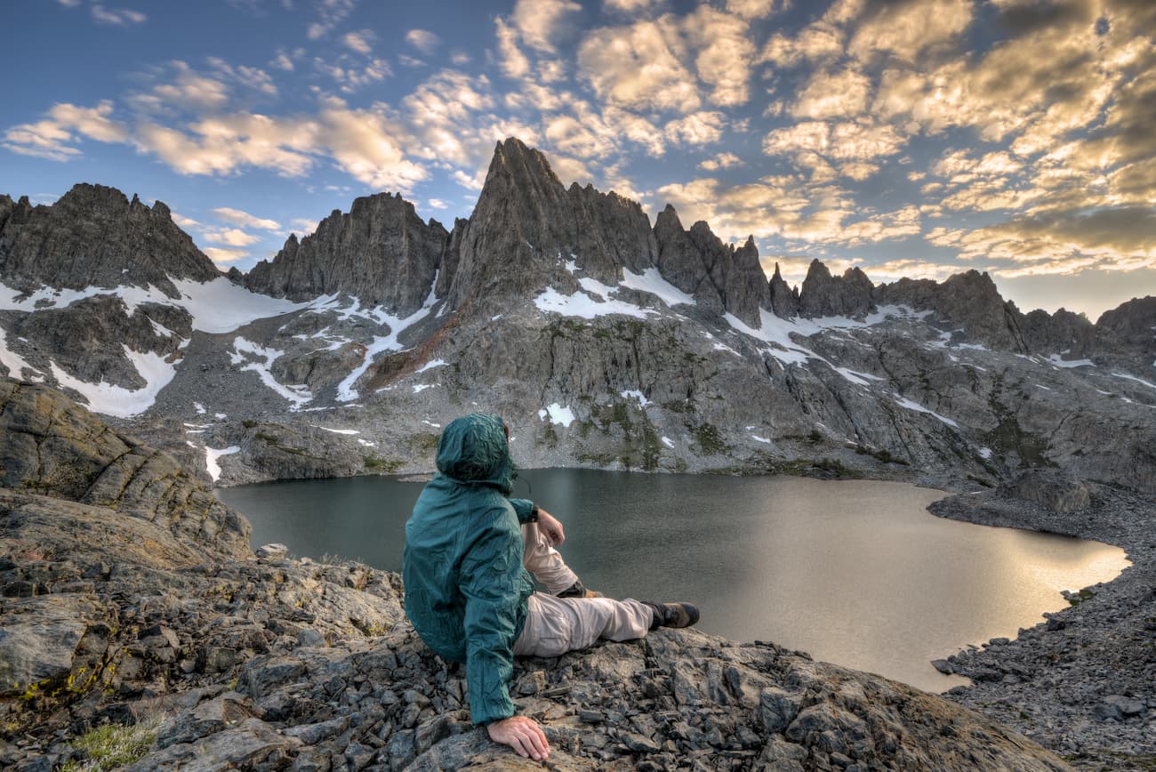
Although the Wilderness was designated to protect the headwaters of the Owens River, it also protects the region’s abundance of red firs, subalpine meadows, and natural springs. It remains a highly popular destination for hiking, fly fishing, bird watching, and snow sports.
Here are some of the best places to hike in the Owens River Headwaters Wilderness:
Glass Creek Meadow is one of the most popular destinations in the Owens River Headwaters Wilderness and for good reason. As the largest subalpine meadows in the Eastern Sierra, Glass Creek Meadows is home to a wide diversity of butterflies and other endangered wildlife species.
The meadow sits at the base of June Mountain and is reachable by a trail that leaves from a trailhead off of Highway 395 near the Hartley Springs Campground. The trail runs the lake of Glass Creek and features some rolling terrain that’s suitable for most hikers.
The Yoast Creek Trail is a 4.5 mile out and back hike with great opportunities to see wildflowers and some stunning scenery. The trail leaves from the Yoast Lake Trailhead and also offers the chance to take a side trip to Fern Lake. This trail starts in the Owens River Headwater Wilderness and crosses into the Ansel Adams Wilderness near the lakes.
Looking for a place to stay near the Owens River Headwaters Wilderness? Here are some options:
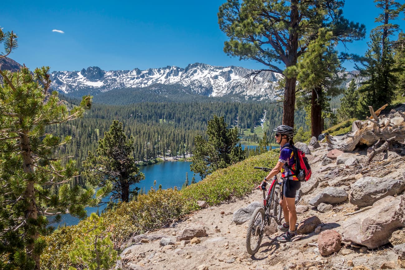
The town of Mammoth Lakes California is located just 30 minutes from the Wilderness. It is home to over 8,000 people and is the only incorporated community in Mono County. Mammoth Lakes is located just east of Mammoth Mountain, which is a popular ski resort. The town also has a small airport that receives regular passenger service to Los Angeles.
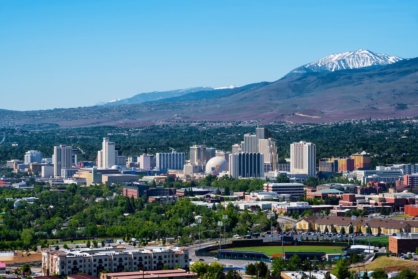
Reno is the second-largest city in the state of Nevada with a population of over 225,000 people. The city is just over 3 hours from the Owens River Headwaters Wilderness but is the best place to fly into if you’re coming from further afield. Reno has plenty of shops, restaurants, and hotels, as well as a major international airport.


western-state-climbers
sierra-club-sierra-peaks-section
sierra-sampler
vagmarken-sierra-crest
western-state-climbers
sierra-club-sierra-peaks-section
sierra-sampler
vagmarken-sierra-crest


