Get PeakVisor App
Sign In
Search by GPS coordinates
- Latitude
- ° ' ''
- Longitude
- ° ' ''
- Units of Length

Yes
Cancel
❤ Wishlist ×
Choose
Delete
Lake Tahoe Nevada State Park is a unit of state-managed land within the US state of Nevada. The park comprises some 22.34 square miles (57.86 sq. km) of land and is home to two named mountains, the highest and most prominent of which is Herlan Peak (8,839ft/2,694m).
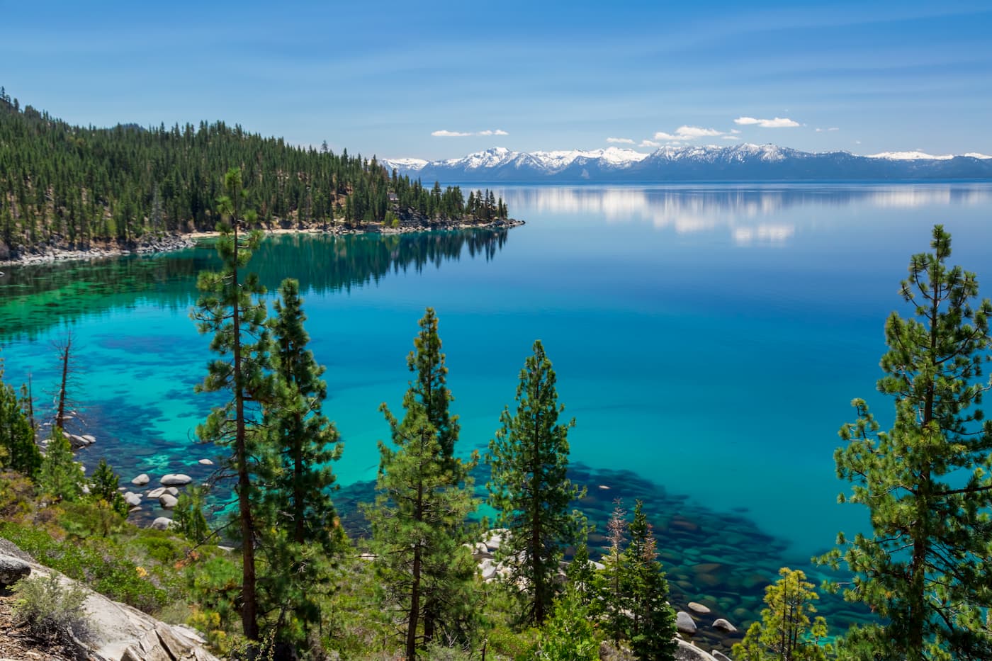
Lake Tahoe Nevada State Park is located along the northeastern shores of Lake Tahoe, which straddles the border between Nevada and California in Washoe County. It is also located just west of both Carson City and Washoe Lake.
The park is just south of the city of Reno, the Humboldt-Toiyabe National Forest, and the Mount Rose Wilderness. To the west of the park, just past Lake Tahoe, much of the public land in the region is part of the Tahoe National Forest, including the Granite Chief Wilderness.
Geologically, the two peaks in Lake Tahoe Nevada State Park - Herlan Peak and Marlette Peak - are part of the Carson Range, which is a subsection of the Sierra Nevada. Most of the bedrock in the region was formed as a result of the Sierra Batholith, which is a massive collection of plutons spanning much of the crest of California.
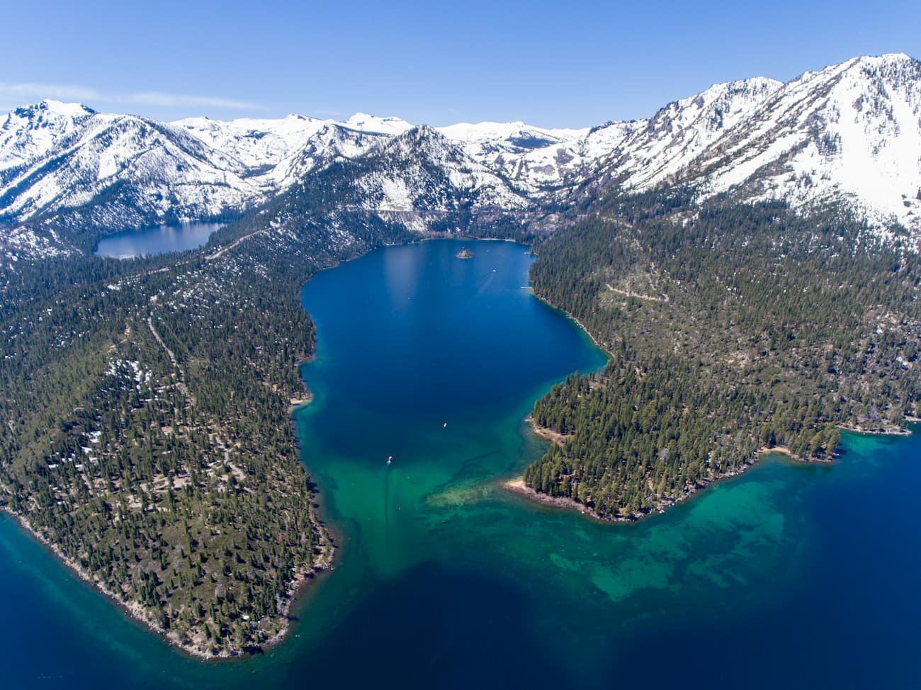
The mountains started to take their shape during the Nevadan orogeny, which took place during the Middle Jurassic and Early Cretaceous periods. This mountain-building event uplifted the bedrock, however, the shape of the mountains themselves is thanks to the extensive glaciers that covered the region during the Pleistocene glaciation.
Lake Tahoe was created by vertical faulting. This formation occurred when blocks of crust were uplifted to create the Carson Range to the east and the Sierra Nevada to the west. In between, tilting blocks (also known as half-grabens) created the Lake Tahoe Basin. Interestingly, some of the highest peaks in the region, including Freel Peak, Pyramid Peak, Mount Rose, Relay Peak, and Mount Tallac, were all created during this period of uplifting.
Lake Tahoe Nevada State Park and the rest of the Carson Range are known for its fantastic collection of birdlife. Some of the species, such as the pygmy nuthatch and the mountain quail, are rarely found elsewhere in Nevada.

Meanwhile, other bird species in the region are considered species of special concern. This includes the calliope hummingbird and the Wilson’s warbler. Other wildlife in the park includes black bears, coyotes, marmots, and pikas.
The Lake Tahoe Basin has been inhabited by humans for at least the last 6,000 years. The Washoe (Wašišiw) people consider the area to be their ancestral homelands, though they were forced off their territory upon the arrival of European-Americans in the 1800s.
Some of the first European-Americans to reach the region include the 1844 Frémont Expedition, led by John Charles Frémont. The expedition became the first non-native people to see Lake Tahoe when Frémont and his cartographer climbed to the summit of Red Lake Peak.
The Lake Tahoe Basin became a very important region during the California Gold Rush, particularly after the discovery of silver in the Comstock Lode of the Virginia Range and of gold in the South Fork of the American River. Lake Tahoe was considered a transportation hub for the region, as boats were used to deliver mail to communities around the lake in the late 1800s.
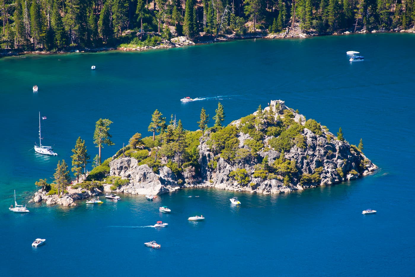
By the end of the mining era, Lake Tahoe started to become an important area for tourism, particularly after World War II and the later hosting of the 1960 Winter Olympics at Squaw Valley. These days, much of the land around Lake Tahoe is publicly owned, either as National Forest or State Parks.
Lake Tahoe Nevada State Park was established in 1958, primarily as a place for enjoying the pristine waters of the lake. The park is currently split up into different management units, each with its own unique outdoor recreation opportunities.
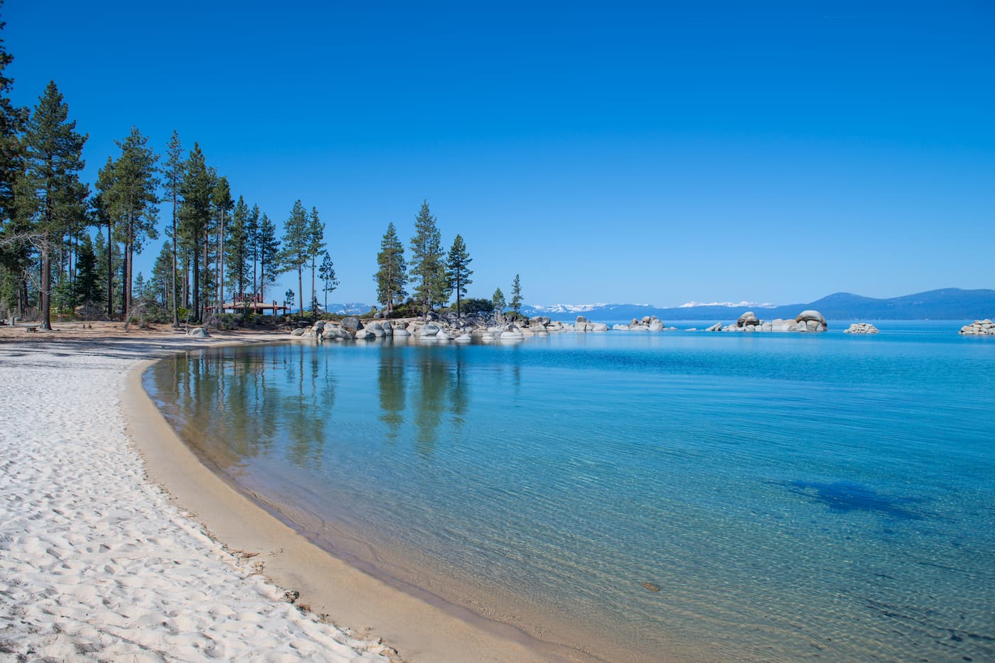
The Sand Harbor unit comprises some 55 acres (22 ha) of land along the shoreline of Lake Tahoe. It has a large picnic area, a sizable sandy beach, nature trails, a visitor center, and a boat launch. However, it is best known as the site of the Lake Tahoe Shakespeare Festival, which is held every year.
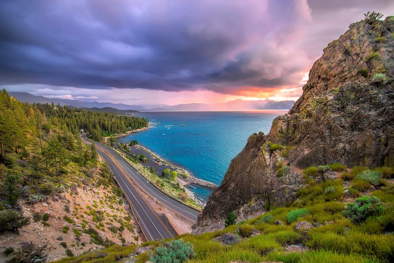
Cave Rock is located along US Highway 50 and is primarily a day-use area covering some 3 acres (1.2 ha) of land. The unit has a sandy beach with a boat launch, as well as some picnic areas. It is situated just below the famous Cave Rock formation (Washo Language: De ek Wadapush), which is a sacred place to the Washoe People.
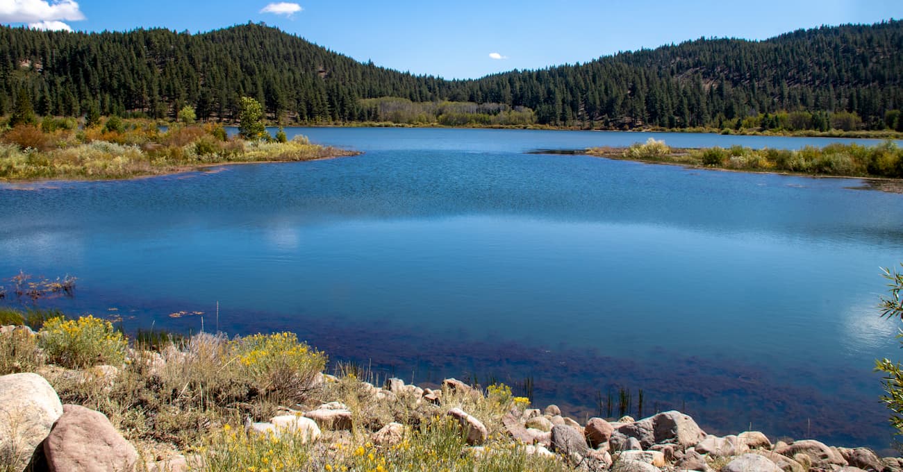
The Spooner Lake unit covers some 1,140 acres (460 ha) of land near the intersection of US Highway 50 and State Route 28. The unit is a good place to access many of the trails in the Marlette/Hobart Backcountry and the surrounding region. It also has good opportunities for picnicking, wildlife viewing, and fishing, in addition to hiking.
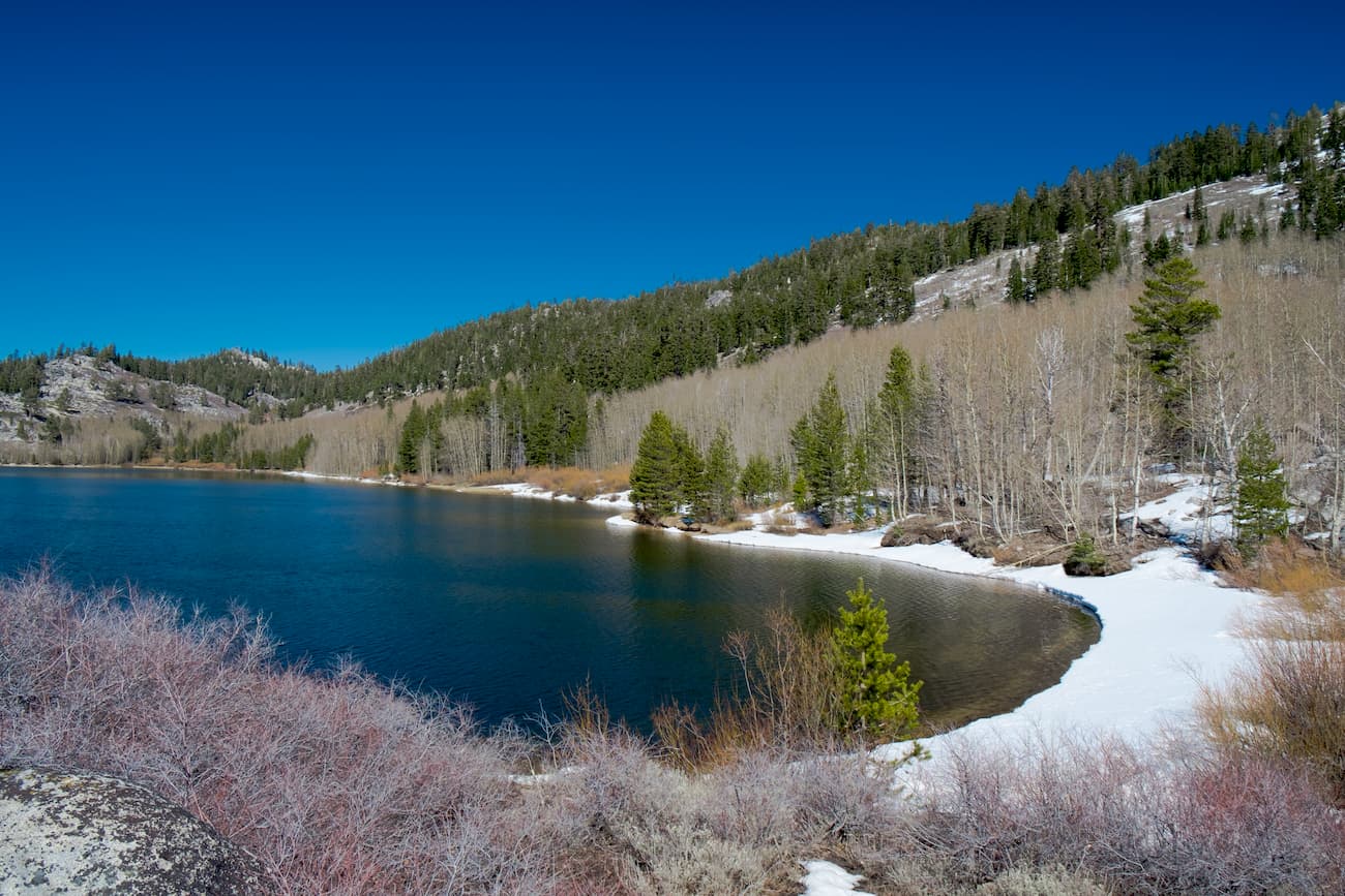
The Marlette/Hobart Backcountry is the largest section of Lake Tahoe Nevada State Park as it includes 12,183 acres (4,930ha) of land in the Carson Range. The unit includes the Marlette Lake Water System, which was created to supply water to the region during the mining era. Within the unit, there are good opportunities for backpacking, as well as two rustic cabins that can be rented for the night.
Lake Tahoe Nevada State Park and, in particular, the Marlette/Hobart Backcountry, is home to about 50 miles (80.5km) of hiking trails. Here are some of the most popular options:
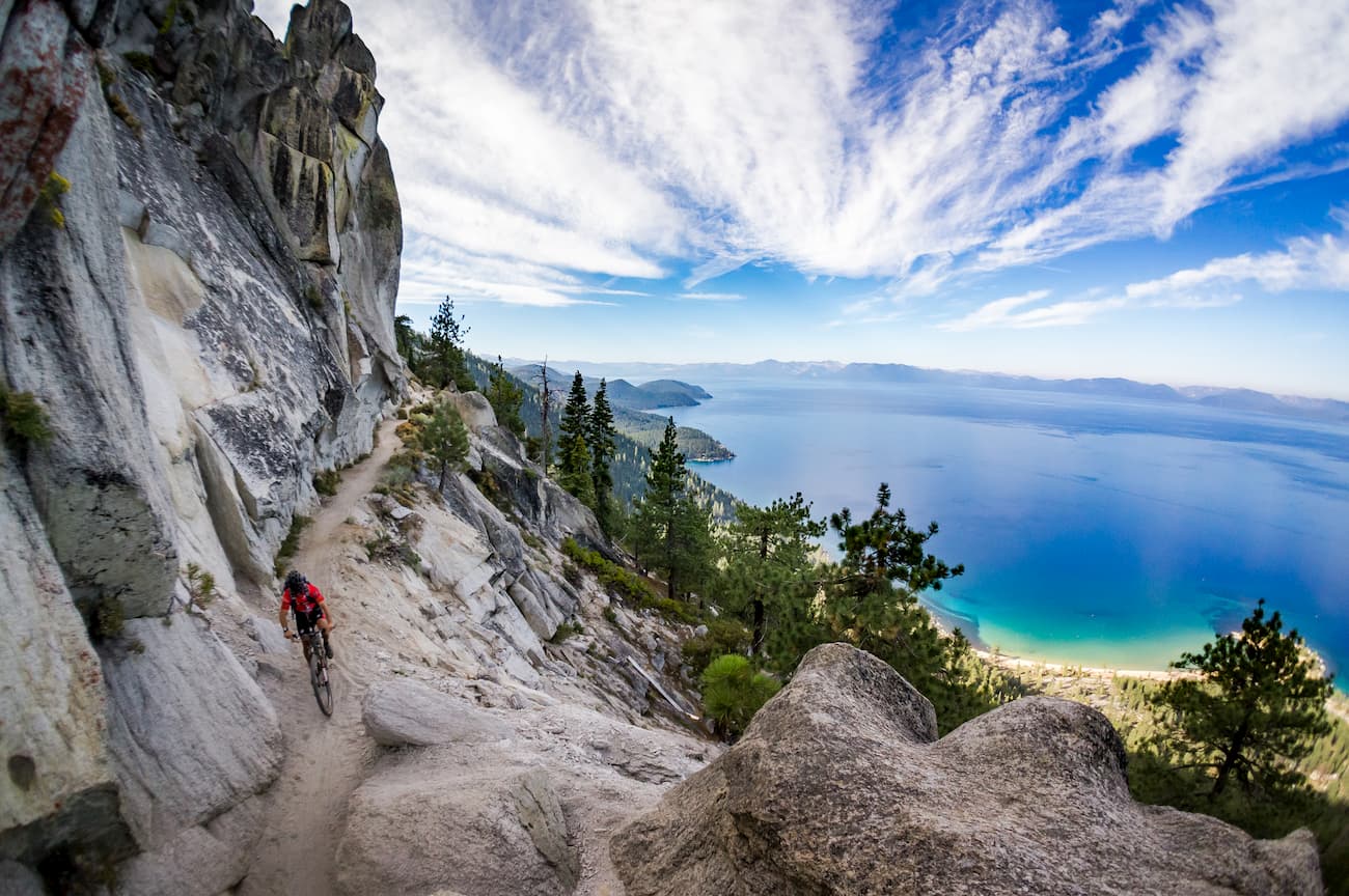
The Flume Trail is often described as one of the best hiking and mountain biking trails in the Lake Tahoe region. It is located near Incline Village and follows a winding path along a steep granite spire that overlooks the lake.
The entire hiking portion of the Flume Trail is about 20 miles (32km) roundtrip. But, if you just want to get some good views and cover less mileage, you can hike the 4.4-mile (7.1km) descent from Lake Marlette to Tunnel Creek Road.
The Tahoe Rim Trail circumnavigates Lake Tahoe and passes through Lake Tahoe Nevada State Park. In fact, this section of the trail is one of the most photographed areas because of its amazing views.
After departing Tahoe Meadows to the north, the trail travels through rolling wooded terrain until it reaches steeper terrain within the state park. It offers great views of both Lake Tahoe and Marlette Lakes, and climbs near the summits of Marlette Peak and Snow Valley Peak before descending down toward Spooner Lake.
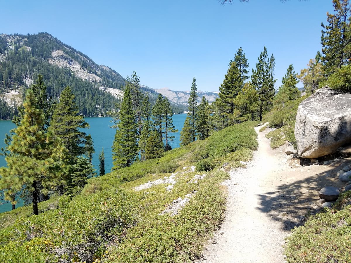
Looking for a good place to stay near Lake Tahoe Nevada State Park? Here are some nearby cities:
Carson City has a population of over 55,000 people and is located to the east of Lake Tahoe Nevada State Park. The city is just a 30-minute drive from the park and has plenty of great restaurants and hotels to accommodate you during your stay. Although the city doesn’t have a large airport, it is just a 30-minute drive to the Reno-Tahoe International Airport.
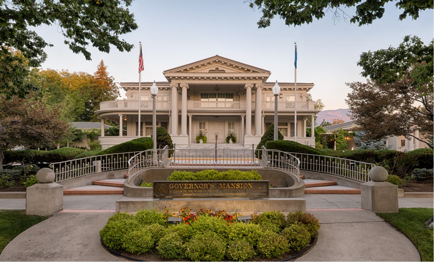
Reno is the second-largest city in the state of Nevada with a population of over 225,000 people. It is located an hour north of Lake Tahoe Nevada State Park, so it’s within driving distance for a day trip into the mountains. The city is well connected by road, rail, and air, thanks to its international airport.
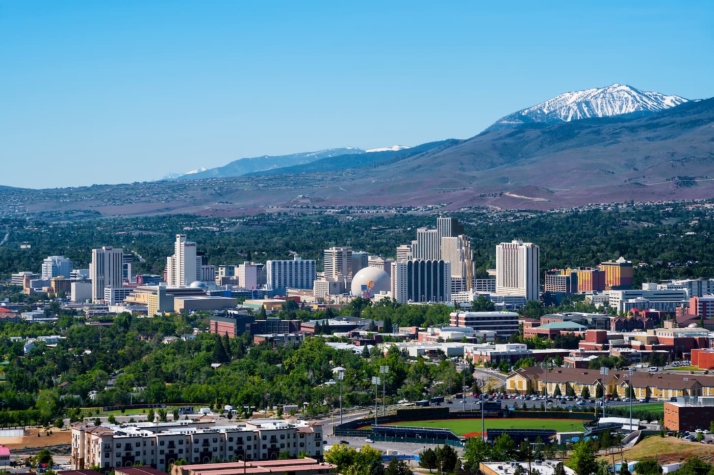
Incline Village is a town of nearly 9,000 people that’s located on the shores of Lake Tahoe, near the state park. It is the location of the main campus of Sierra Nevada University and is known for having some of the most expensive real estate in the country because it’s known as a tax haven for wealthy individuals from California. The town does not have an airport, but it is well connected to Reno, which is just 45 minutes away.
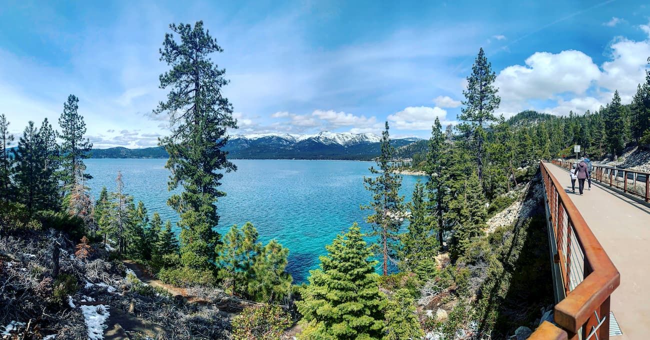
Explore Lake Tahoe Nevada State Park with the PeakVisor 3D Map and identify its summits.


