Get PeakVisor App
Sign In
Search by GPS coordinates
- Latitude
- ° ' ''
- Longitude
- ° ' ''
- Units of Length

Yes
Cancel
❤ Wishlist ×
Choose
Delete
Encompassing some of the highest elevation terrain in northwestern India, the Karakoram (Nubra Shyok) Wildlife Sanctuary is a federally-protected area that’s known for its spectacular biodiversity. The wildlife sanctuary contains 60 named mountains, the highest of which is Saltoro Kangri (7,742m/25,400ft), and the most prominent of which is Saser Kangri I (7,627m/7,566ft).
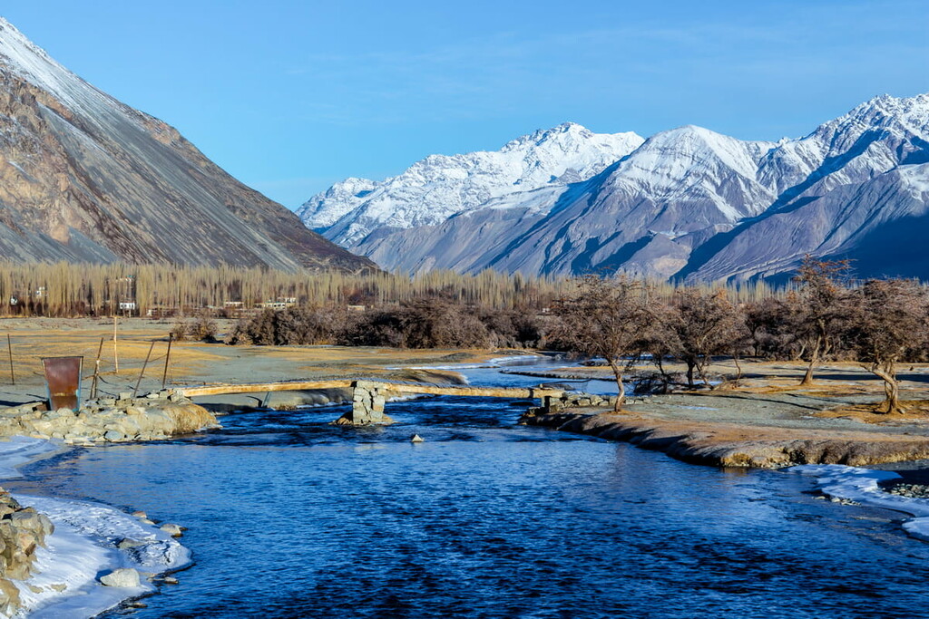
The Karakoram (Nubra Shyok) WLS is a federally-managed wildlife sanctuary located in the union territory of Ladakh in northwestern India along the territory’s border with Jammu and Kashmir. However, as of 2021, control of the region is disputed by neighboring Pakistan and China (Tibet) as part of the larger Kashmir region.
Karakoram Wildlife Sanctuary includes an area of about 5,000 square kilometers (1,930 square miles), making it one of the largest reserves in the region.
Due to the sanctuary’s location within a highly mountainous region of India, it is surrounded by other protected regions. Indeed, it is located within a relatively close distance to a number of other wildlife sanctuaries and some national parks.
In particular, Karakoram Wildlife Sanctuary is situated just to the north of Hemis National Park and to the east of Deosai National Park. It is also located to the northwest of the Changthang WLS.
Due to the high elevation and underdeveloped nature of the wildlife sanctuary, there is talk of elevating its status to that of a national park or a UNESCO World Heritage Site. However, no formal application has been made to change the status of the wildlife sanctuary as of the time of writing.
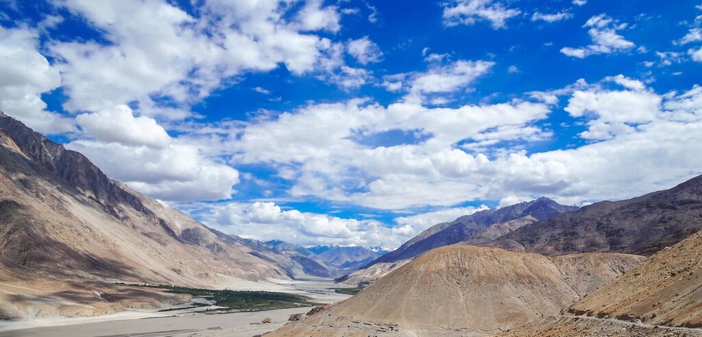
As its name suggests, the Karakoram Wildlife Sanctuary is home to some of the southernmost peaks in the Karakoram Range. Often considered to be the second-highest range in the world, after the nearby Himalaya to the east, the Karakoram are home to some of the planet’s highest and most difficult summits.
In fact, there are a number of 8,000 meter peaks located just to the west of the park in Pakistan, including K2 (کے ٹو ), Broad Peak (بروڈ پیک), Gasherbrum I (گاشر برم -1), and Gasherbrum II (2-گاشر برم ). The stunning Muztagh Tower (موز تاغ ٹاور) is also located just to the east of the park. While Muztagh Tower is not an 8,000 meter peak, it was captured in a famous image by the legendary Italian photographer and mountaineer Vittorio Sella during the 1909 Italian K2 Expedition.
Within the park, the lofty peaks of the Karakoram reign supreme. Like the Himalaya, the Karakoram formed as a result of convergence between the Indian plate and the Eurasian plate.
Many people consider the Karakoram to be a subrange of the Himalaya and, due to the ranges’ shared geologic history, this is a reasonable conclusion. Nevertheless, the ranges have their own unique cultural histories that continue to this day that makes them better categorized as separate mountain ranges within a larger system of peaks.
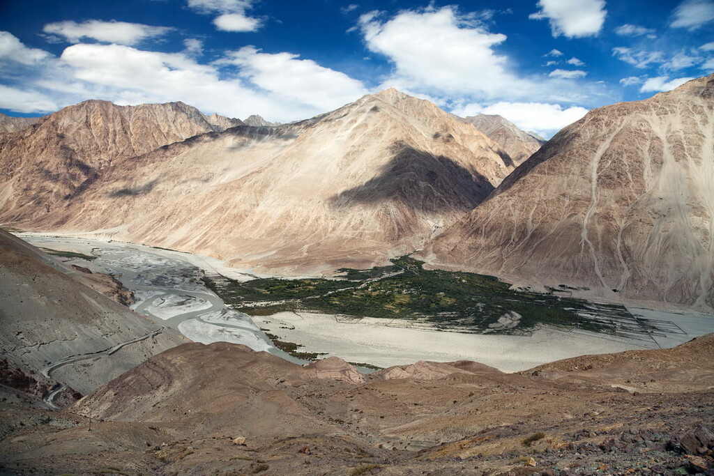
Major peaks within Karakoram Wildlife Sanctuary include Saltoro Kangri, Saser Kangri I, Mamostong Kangri, Saser Kangri II, Teram Kangri I, and K12.
As a wildlife sanctuary, it should come as no surprise that the Karakoram Wildlife Sanctuary is home to an abundance of unique flora and fauna species.
The park’s high elevation, however, means that only the heartiest of species can survive within its borders. In fact, it is considered to be a place of significant botanical importance due to the uniquely adapted species that thrive in the region.
Much of the Ladakh region, including the wildlife sanctuary, is technically a cold, high-altitude desert. Nevertheless, there are a number of amazing animals that live in the sanctuary, including the ural, the argali, Tibetan gazelle, Siberian ibex, the bharal (blue sheep), and the snow leopard.
Another notable species that lives in the park is the Tibetan antelope (chiru). The chiru is an elusive antelope that lies throughout the Tibetan Plateau but that also migrates to select places in India, including the Karakoram Wildlife Sanctuary.
There are fewer than 150,000 individual chiru left in the wild, as a result of years of hunting for their extremely valuable underfur called shahtoosh. Chiru are now highly protected, but they are still at risk from illegal poaching.
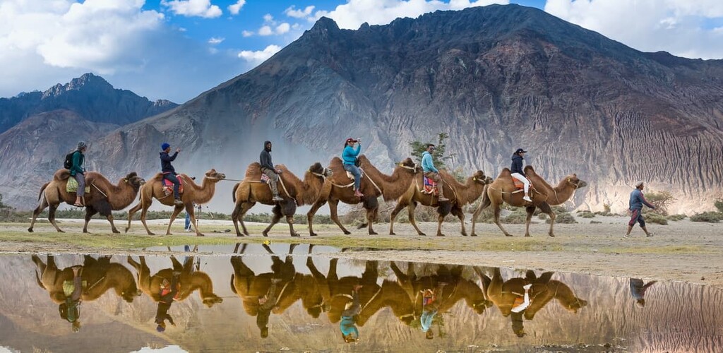
Furthermore, the sanctuary is home to the Bactrian camel (Camelus bactrianus). Also known as the Mongolian camel, this camel has two humps and it is known for its superb cold tolerance. It is believed that the heartiness of this camel was essential for the success of caravans on the Silk Road.
The region that is now part of the Karakoram Wildlife Sanctuary has long been home to humans.
In particular, the town of Leh just to the south of the sanctuary was one of the region’s most important stopping points along the regional trade route that followed the Indus River Valley. During the early Middle Ages, the region traded hands many times. At various points, it was ruled by dynasties from China and by the Nawab of Kashmir.
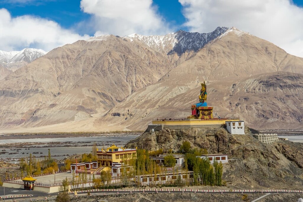
Meanwhile, the Diskit Monastery, which is one of the most important monasteries within the sanctuary, was founded during the fourteenth century. Not long after the establishment of the monastery, the region came under control of the King Sengge Namgyal of Ladakh, who commissioned the palace at Leh.
During the British Raj, the region that is now part of the sanctuary was controlled by the British. However, after the partition of India in 1947 and the formation of the nation of Pakistan, the region around Ladakh, as well as Jammu and Kashmir, became a source of much controversy.
These days, there is quite a bit of dispute territorial claims in the region so many of the international boundaries that you see on maps may not be internationally recognized by the global community.
That being said, the sanctuary itself was established in 1987 as a way to protect the spectacular biodiversity of the region. As we’ve mentioned, there is talk of nominating it for designation as a UNESCO World Heritage Site, but nothing has been finalized yet.
Regardless of its status, though, the Karakoram Wildlife Sanctuary remains one of the most popular trekking destinations in Ladakh. It is a superb place to visit if you’re looking to venture into the Karakorams on a true mountain adventure.
Karakoram Wildlife Sanctuary is one of the most remote parts of northwestern India. The entire Ladakh region is home to rugged terrain, towering peaks, and snowy high-elevation locales that can make passage difficult for the unprepared.
When compared to world-famous trekking areas, like the Solukhumbu around Mount Everest or the Annapurna Conservation Area in Nepal, the Karakoram Wildlife Sanctuary is relatively infrequently traveled by non-locals. As a result, it’s highly recommended that trekkers hire a local guide service to help with logistics and permits in the region.
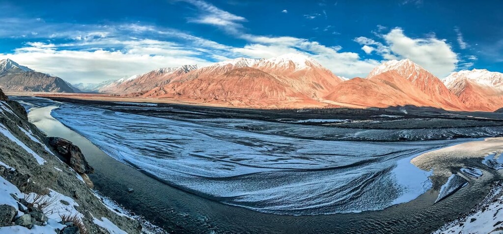
That being said, there are many different trekking routes to enjoy within the wildlife sanctuary. One of the most popular options is a two week-long trek into the Nubra Valley, which offers a chance to travel to more or less the furthest north than hikers can reach on foot in India.
The majority of treks to the region start in Leh and many offer a chance to visit Khardung La. Khardung La, which sits at an elevation of 5,602 m (18,379 ft), was considered to be the highest motorable road in the world until it was surpassed by the construction of a road up Umling La at 5,793 m (19,005 ft).
Looking for a place to stay near the Karakoram Wildlife Sanctuary? Here are some of the best towns and communities to check out:
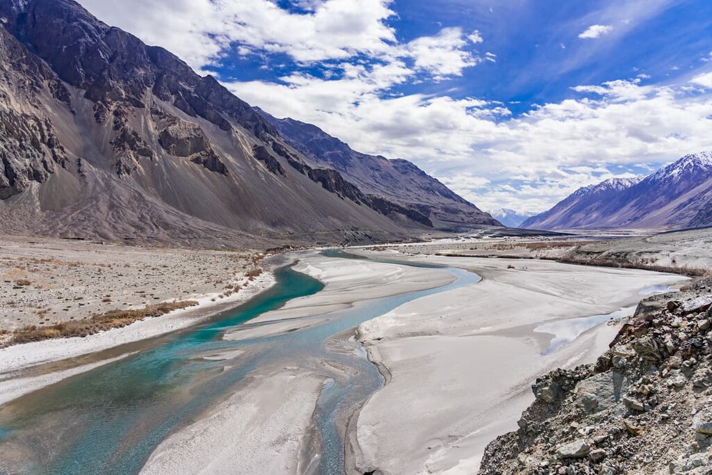
The community of Diskit is located in the heart of the Karakoram Wildlife Sanctuary. Diskit is home to around 2,000 residents and it is located along the Shyok River, which is the main tributary of the Indus that flows through the sanctuary.
As one of the largest communities in the sanctuary and in the Nubra region of Ladak, Diskit is one of the major tourist destinations in the area. It offers many tea houses and other accommodations for trekkers to enjoy as well as some superb dining options where visitors can sample the local cuisine.
Additionally, the famed Diskit Monastery (Diskit Gompa) is located just outside the community of Diskit. It dates back to the fourteenth century and it hosts a festival in February each year that is a major event for the greater Nubra region community.
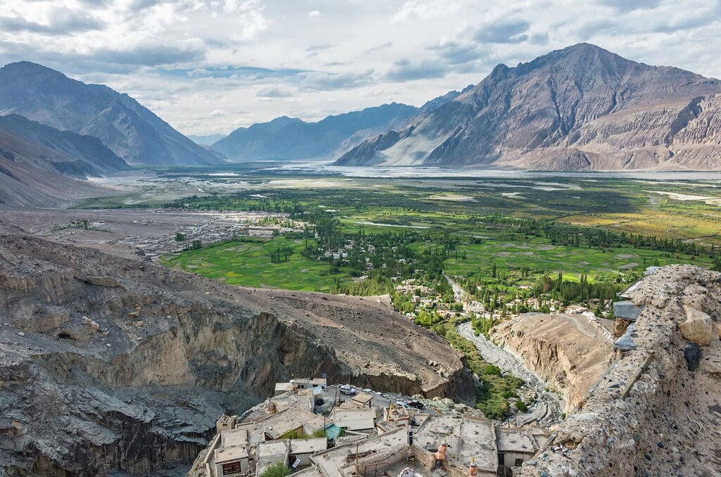
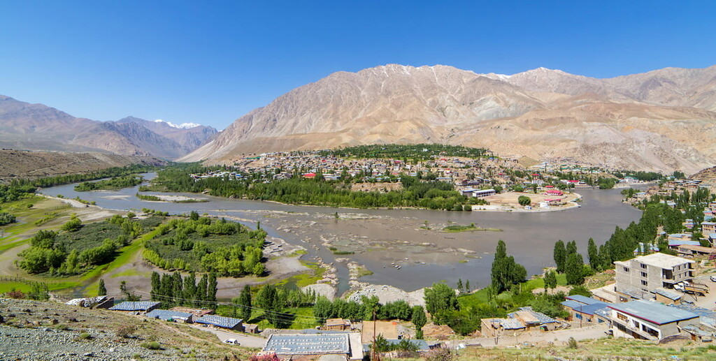
Home to approximately 17,000 residents, Kargil is one of Ladakh’s two capital cities. Kargil is situated to the west of Karakoram Wildlife Sanctuary within the Suru River Valley.
The town of Kargil has long been a cultural center for the region. It is technically linked to the city of Skardu in Pakistan via the all-weather Skardu-Kargil Road. However, as a result of the ongoing Kashmir conflict, the road has not been fully operational since the late 1940s.
Nevertheless, Kargil is one of Ladakh’s main tourist destinations. It is located near many famous Buddhist monasteries, including Mulbekh Gompa, Shargol Math, and Stongde Monastery.
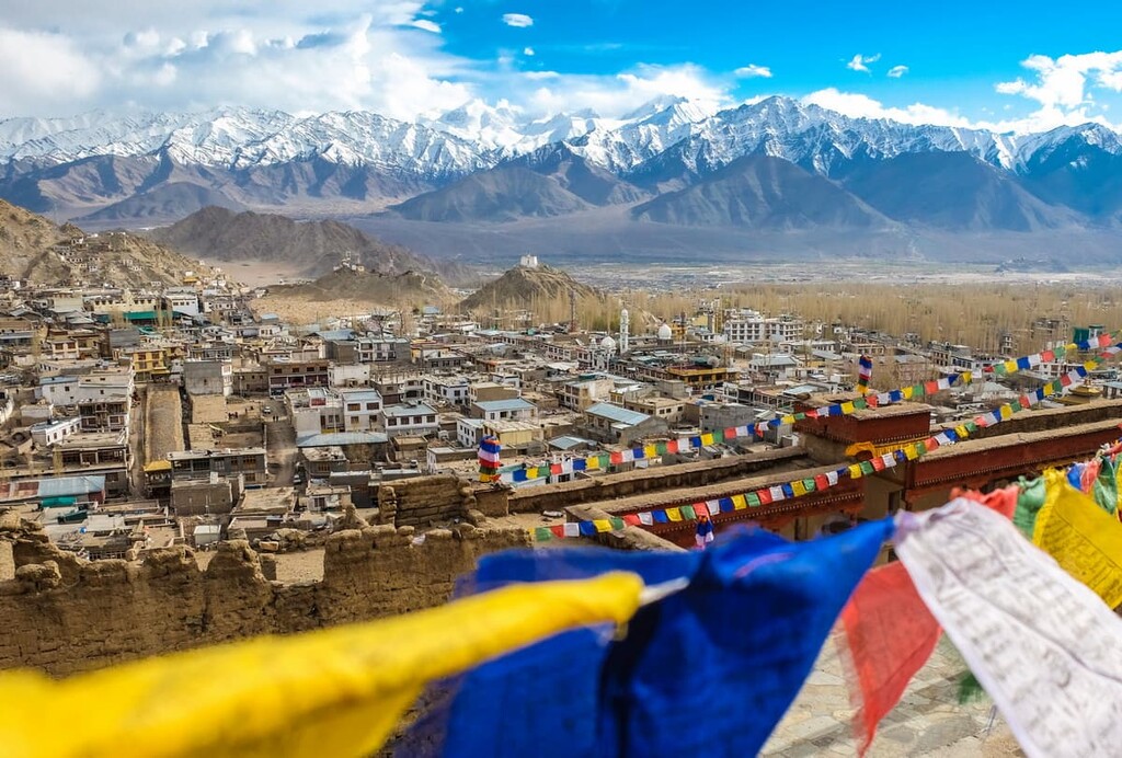
The second of Ladakh’s two capitals, the town of Leh is located just to the south of the Karakoram Wildlife Sanctuary boundaries in the Indus Valley along National Highway 1. It is home to about 30,000 residents, which makes it the largest community in the territory.
Leh was once the home of the royal family of Ladakh, which was based out of Leh Palace. It was also one of the most important stopping points along the major trade routes that followed the Indus Valley.
Furthermore, Leh is home to one of the most important airports in Ladakh (Kushok Bakula Rimpochee Airport). The airport offers regular flights to Delhi and other major cities in northern India, so it is an essential transportation link for the region.
Explore Karakoram (Nubra Shyok) WLS with the PeakVisor 3D Map and identify its summits.


