Get PeakVisor App
Sign In
Search by GPS coordinates
- Latitude
- ° ' ''
- Longitude
- ° ' ''
- Units of Length

Yes
Cancel
❤ Wishlist ×
Choose
Delete
Changthang Wildlife Sanctuary (Changthang Cold Desert Wildlife Sanctuary) is a stunning outdoor recreation destination known for its mountainous landscape that’s located in the Ladakh region of northern India. The park contains 89 named mountains, the tallest of which is Gya (6,794 m / 22,290 ft) and the most prominent of which is Kangju Kangri (6,725 m / 22,064 ft).
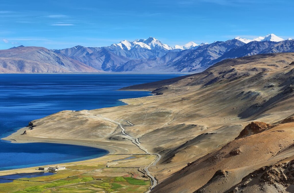
Changthang Wildlife Sanctuary is situated in northern India in the union territory of Ladakh. The sanctuary lies on the Ladakhi Changthang Plateau where the lowest elevation is about 4,260 m (14,000 ft).
The park spans 1,600 sq km (618 sq mi) of land across Ladakh. It is one of the largest wildlife reserves in the world, alongside Northeast Greenland National Park in Greenland. Changthang Wildlife Sanctuary is home to 11 lakes and 10 marshes. The Indus River runs throughout the protected region, separating the land into two distinct sections.
One of the most iconic features of the sanctuary is the lake known as Tso Moriri (Mountain Lake). The lake sits at an elevation of 4,522 m (14,836 ft), making it one of the highest elevation lakes in the entire world. Other lakes are scattered throughout the Changthang Wildlife Sanctuary including Pangong Tso and Tso Kar.
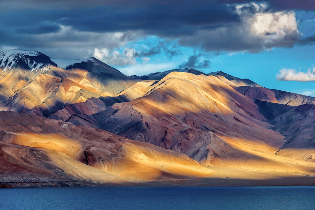
Deep gorgers and vast plateaus are found throughout the sanctuary, amidst the rugged peaks of the Himalaya that tower above. The vast plateaus allow for the wildlife of the region to thrive in this often inhospitable landscape.
Additionally, Changthang Wildlife Sanctuary is surrounded by other popular outdoor recreation areas. In particular, the Karakoram (Nubra Shyok) Wildlife Sanctuary lies to the north, Hemis National Park, Kishtwar National Park, and Thajwas- Baltal Wildlife Sanctuary to the west, and the Sech Tuan Nala Wildlife Sanctuary to the southwest.
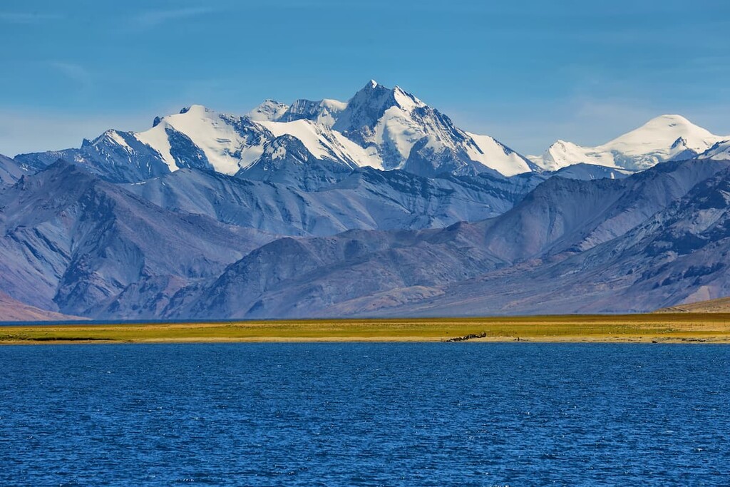
The mountains in the Changthang Wildlife Sanctuary are part of the Himalaya proper, similar to other parks in the region. The Himalaya started to form during the Late Cretaceous when the Eurasian plate and the Indian plate collided. Indeed, the Himalaya, including the peaks in the sanctuary, are a relatively young mountain range, despite their rich geologic history.
This collision of these plates gave rise to many of the tallest peaks in the world, whose snow-capped peaks can be seen from the wildlife sanctuary. Common rocks found in the sanctuary include dolomite, limestone, phyllite, quartzite, and slate.
Though the mountains in the range appear to be stagnant, the Indian plate is still moving northward into the Tibetan Plateau at a rate of about 67 mm (2.6 in) per year. As a result, the Himalaya continue to rise around 5 mm (0.2 in) each year.
Major peaks within the park include Gya, Kangju Kangri, Lungser Kangri, Chakula, and Chamser Kangri.
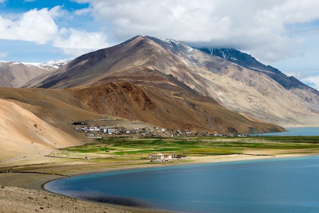
The Changthang Wildlife Sanctuary is home to a vast array of fauna. Similar to other parts of the region, such as the Hemis National Park, the wildlife sanctuary is home to the elusive snow leopard. The remote location and landscape allows for a small population to live throughout the park.
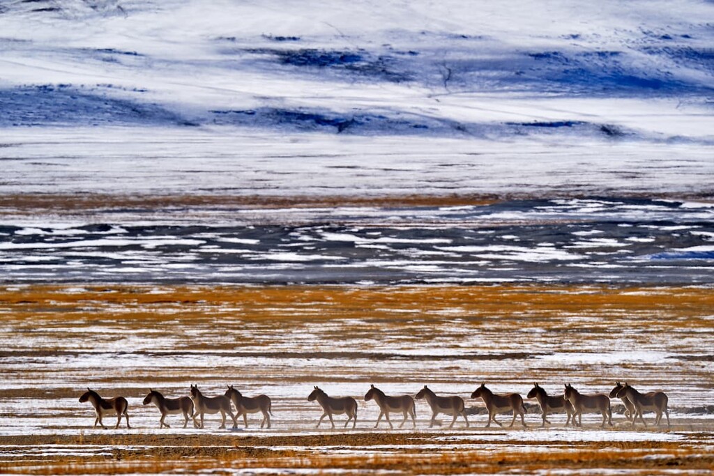
The wildlife sanctuary is also one of the few locations in India that is home to the kiang (Tibertan wild ass), and the dark-necked crane. Other animals in the sanctuary include the Tibetan wolf, brown bear, bharal, wild yak, and dozens of species of waterfowl.
Because the park is located at such a high elevation, there are minimal amounts of flora. Rare and endangered plants can be found throughout the park, along with the occasional small patch of native grasses and shrubs.
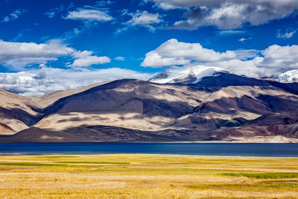
Humans have inhabited the region that surrounds the Changthang Wildlife Sanctuary for thousands of years. Nearby rock carvings dating back at least 12,000 years. During the first century, the Ladakh region was part of the Kushan Empire.
The Ladakh region was under rule from various empires and countries over the following centuries. Nearly 400 years ago, the monastery located on the northeastern boundary of the park was established. This Buddhist monastery is still in use today and parts of it can be visited by tourists.
During the partition of India in 1947, the region was signed over to India. Within the sanctuary boundaries lies the village of Karzok. Located at an elevation of 4,595 m (15,075 ft) it is one of the highest villages in the world. Including the Drukpa Buddhist Korzok Monastery, there are around 1,300 people who inhabit the village.
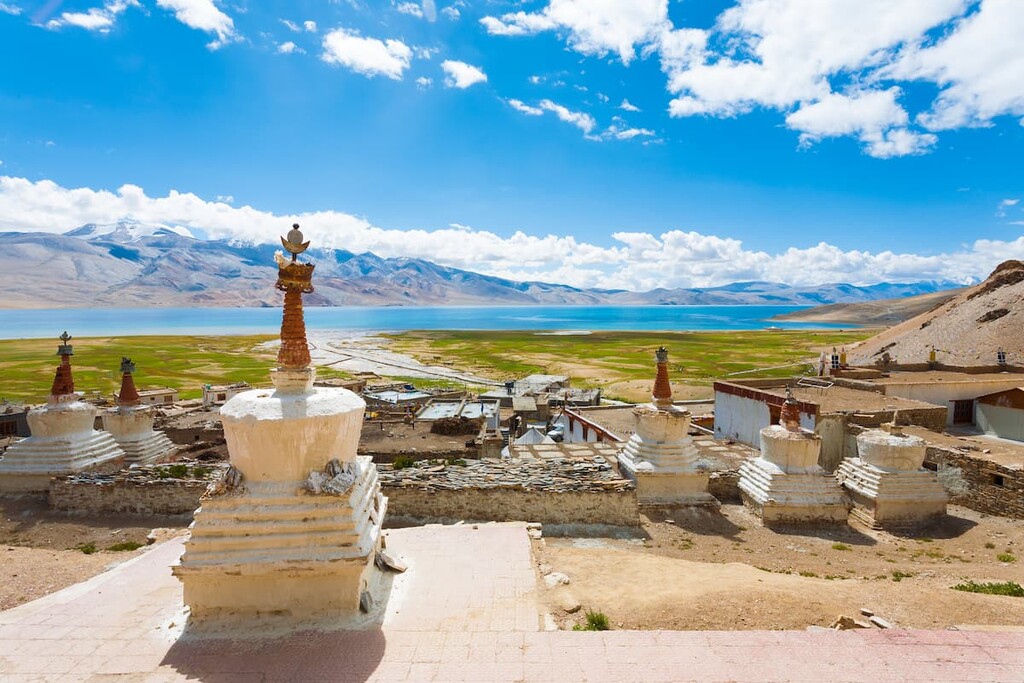
The Changthang Wildlife Sanctuary was eventually established in 1987 in order to protect the unique landscape, flora, and fauna. The sanctuary acts as an important landscape for the Tibetan wildass and the endangered bar-headed geese.
Tourists and visitors couldn’t visit the sanctuary until 1994, since it marks the border leading into China. Today tourists can visit the regions surrounding Pangong Tso and Tso Morari lakes.
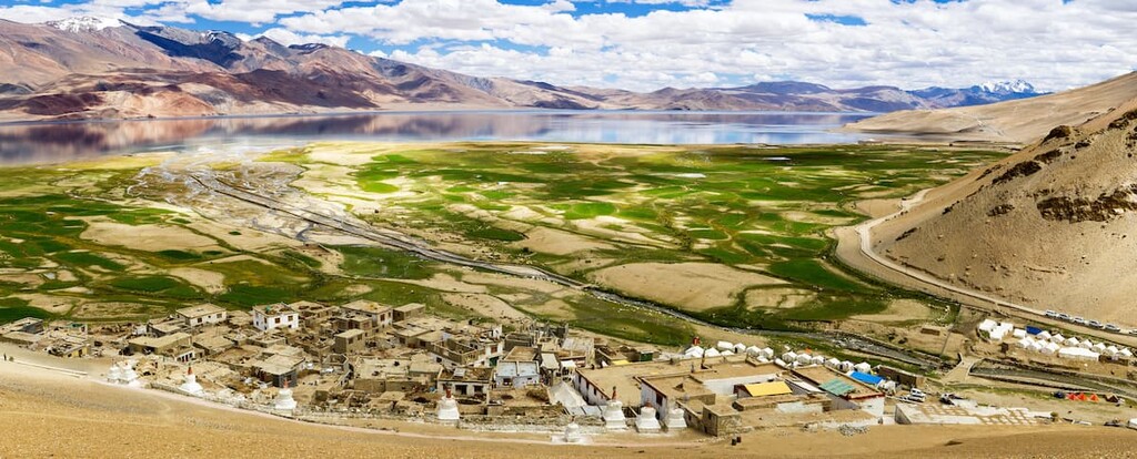
Changthang Wildlife Sanctuary is home to numerous trails. Here are some of the top hiking areas to visit in the park:
Located on the western edge of Tso Miori lies the Tso Miori Trail. The trail totals 25.3 km (15.7 miles) point to point and has 743 m (2,440 ft) of elevation gain. The rugged trail offers impeccable views of the towering mountains above along with the lakes spanning out to the east.
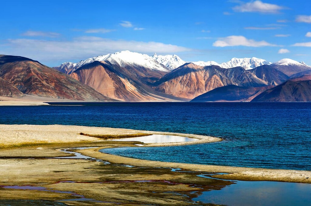
The Rumtse 2 Tso Kar trail is a 38.6 km (24 mi) trail with 1,146 m (3,763 ft) of elevation gain. The point-to-point trail starts in the northwestern region of the park, and heads southeast before ending on the outskirts of Tso Kar.
Starting at Two Kar, where the previous trail ends, the Tso Kar 2 Karzok leads to the village of Karzok. The route toals 58.9 (36.6 miles) and has 1,831 m (6,010 ft) elevation gain. The city of Karzok is situated on Tsomoriri. From there the trail continues along to Tsomoriri but hikers can also choose to catch a car back to villages nearby.
Looking for a place to stay near Changthang Wildlife Sanctuary? Here are some of the best cities and villages to check out in the region:
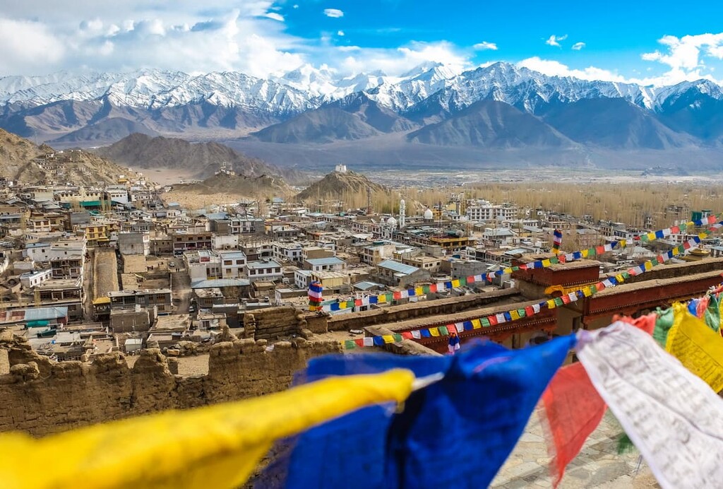
The nearest city to Changthang Wildlife Sanctuary, besides the small community of Karzok locating in the the protected area, is the city of Leh, which lies to the northwest of the park.
As both the capital and the largest city in the union territory of Ladakh, Leh has a population of around 31,000 residents.
Leh’s large size, compared to surrounding commutes, allows for it to act as a transportation hub for the region. Buddhism and Hinduism are prevalent within the city and the surrounding community. The region is home to the once historic “Silk Road” and has been inhabited since the eighth century.
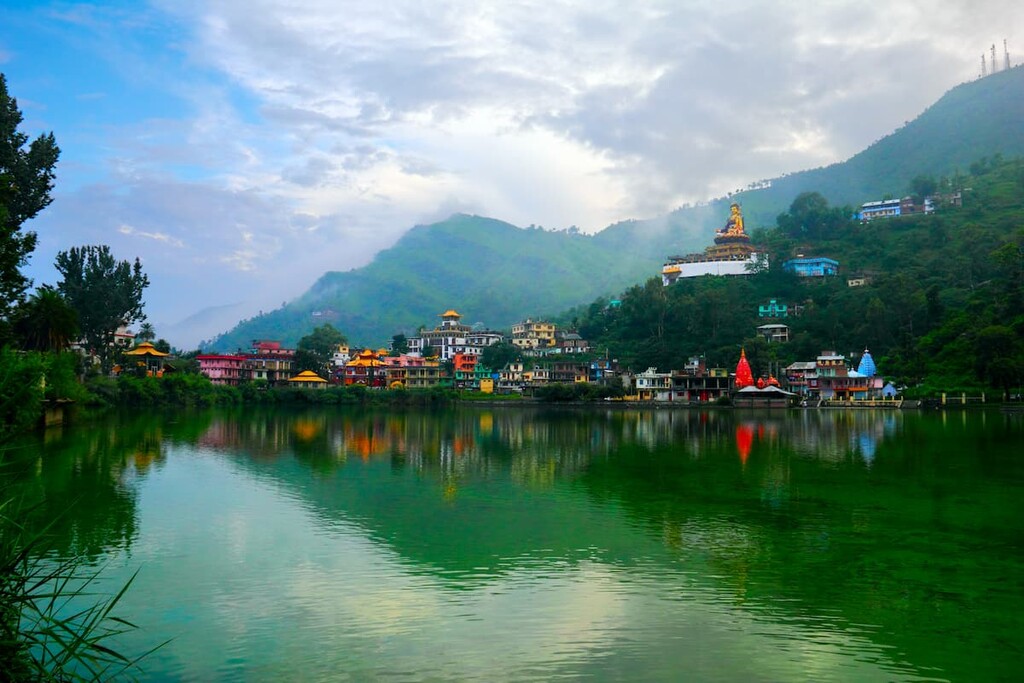
The city of Srinagar lies an eleven hour drive to the west of Changthang Wildlife Sanctuary. Srinagar has a population of 1.3 million people, making it the nearest major city to the sanctuary. The city also has an airport that regularly flies to Leh, allowing for easier access to the region.
Srinagar lies in the Kashmir valley and sits along the bank of the Jhelum River. Due to the high density of houseboats on Dal Lake, the city is sometimes called “Venice of the East.” Other lakes that surround the city include Nigeen Lake, Wular Lake, and Manasbal Lake. Houseboats along the Mughal gardens, and the Sher Garhi Palace, make Srinagar a tourist destination of the region.
Explore Changthang Wildlife Sanctuary with the PeakVisor 3D Map and identify its summits.


