Get PeakVisor App
Sign In
Search by GPS coordinates
- Latitude
- ° ' ''
- Longitude
- ° ' ''
- Units of Length

Yes
Cancel
❤ Wishlist ×
Choose
Delete
Northeast Greenland National Park is the largest and northernmost national park in the world, encompassing 972,000 square kilometers (375,000 square miles) of northeast Greenland. There are 126 named peaks in the park which are found along the coast, the tallest of which is Winston Bjerg which is 2,002 m (6,568 ft) tall.
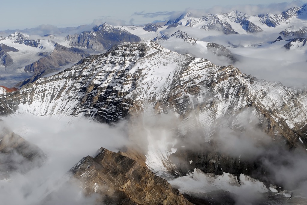
The northeast quarter of Greenland is home to the world’s largest national park, Northeast Greenland National Park, known as Kalaallit Nunaanni nuna eqqissisimatitaq in Greenlandic and Grønlands Nationalpark in Danish. The park was the first national park created by the Kingdom of Denmark and it is the only national park in Greenland.
The park is mostly covered by the Greenland ice sheet; however, there are large ice-free areas along the coast. Peary Land, King Frederick VIII Land, and King Christian X Land are geographical areas that are part of the park.
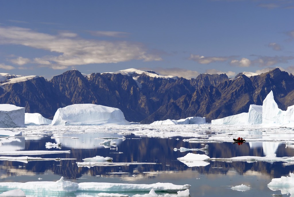
There are 126 named peaks in Northeast Greenland National Park, all of which are found relatively close to the coast. Winston Bjerg (2,002 m/6,568 ft) is the tallest peak in the park and Nunatâmeporten (1,593 m/5,226 ft) is the most prominent peak, with a breathtaking 1,534 m (5,033 ft) of prominence, which makes it an ultra-prominent peak.
There is no permanent human population in the park; however, there are about 400 sites that have regular use during the summertime. The park is home to weather stations, research stations, and military outposts that host people during the winter.
Most of the people that spend winters in Northeast Greenland National Park are military personnel and are usually associated with the Sirius Patrol. The Sirius Dog Sled Patrol is an elite Danish naval unit tasked with patrolling the park and enforcing Danish sovereignty on eastern Greenland.
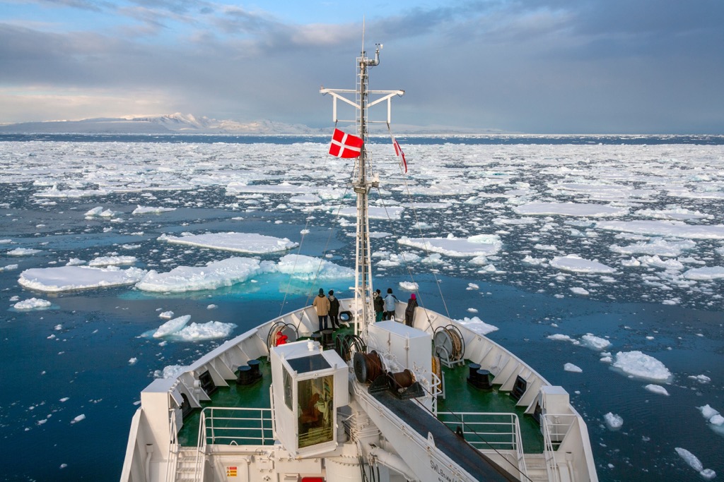
Visiting the park requires writing an application to and receiving permission from the Danish Polar Centre. Some visitors sail around the coast of the park as part of a cruise; however, most visitors are chartered from Ittoqqortoormiit, which is the most isolated community in Greenland and the closest to the park.
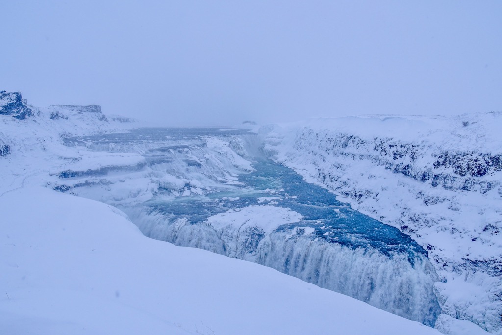
While politically Greenland is part of Europe it is geologically part of North America. The island is part of the same Precambrian continent of Laurentia that is known as the Canadian Shield, in Canada. Due to the remote location, the geological formations of Northeast Greenland National Park are relatively unexplored.
In general, the ice-free coastline is formed from sediments formed in the Precambrian that have been metamorphosed. There are remnants of flood basalts across the island, which accounts for the metamorphosis of some of the Precambrian sedimentary layers.
It is suspected that some of the folds in the exposed layers of rock on eastern Greenland date to the Caledonian orogeny which occurred between 490 and 390 million years ago. The Caledonian orogeny is one of the many orogenic events that created the supercontinent of Pangea.
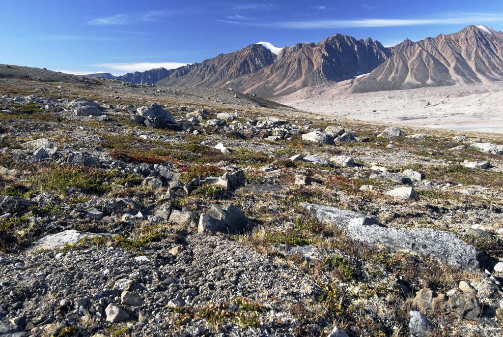
The Caledonian orogeny is recorded in the geology of the British Isles, Scandinavian Mountains, Svalbard, eastern Greenland, and parts of north-central Europe. Starting about 490 million years ago, the ocean between Greenland and northern Europe closed. Pangea formed as the ancient continents came together, creating mountain ranges along the edges of the colliding continents.
The geology of the southern end of Greenland is known much better than the north end. A geological highlight of southern Greenland includes examples of greenlandite that were formed 3.8 billion years ago which were discovered east of the community of Nuuk. These are among the world’s oldest known rocks, with other comparable and older examples only being found in northern Canada.
Northeast Greenland National Park is ecologically part of the Kalaallit Nunaat high arctic tundra ecoregion. The inland areas are either barren rock or covered by ice while about one-third of the coastal area is covered by lichens and mosses and only about 3% of the area is covered with herbaceous vegetation and shrubs.
In all of Greenland, there are only about 500 species of complex plant life which includes flowering plants, horsetails, and ferns. There are nearly 700 species of fungi and about 950 distinct species of lichen. Mosses and other bryophytes are also found across Greenland. Some of the most diverse flora in Greenland is found around hot springs.
There are few native land mammals in Greenland; however, all terrestrial mammals inhabit Northeast Greenland National Park. The mammals that inhabit Greenland include polar bears, arctic foxes, arctic hares, musk oxen, collared lemmings, ermines, arctic wolves, and reindeer which were introduced by Europeans. The other land animals are believed to have originally migrated from Canada.

The most common birds that are seen in the park include the great northern diver, barnacle goose, pink-footed goose, common eider, king eider, gyrfalcon, snowy owl, sanderling, ptarmigan and raven. While the land mammals are believed to have originally migrated from North America, it is believed that the local bird species of Greenland originally came from Europe.
The waters adjacent to the park contain an abundance of wildlife. The coastal areas are home to populations and migrating groups of ringed seals, bearded seals, harp seals, hooded seals, narwhals, beluga whales, and walruses.
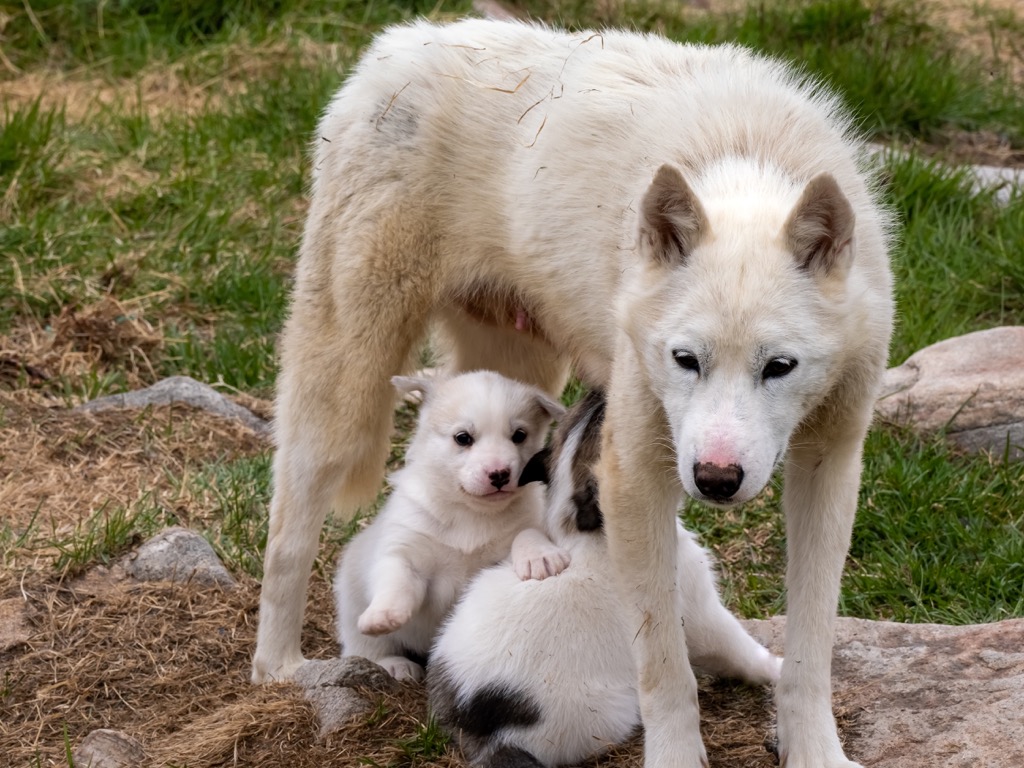
One of the most important animals found in Northeast Greenland National Park is the Greenland dog. The Greenland dog was introduced by the Inuit as a sled dog, and the breed is used exclusively by the Sirius Patrol during their reconnaissance missions across Greenland. During their five years of service, a dog in the Sirius Patrol will have pulled sledges for more than 20,000 km (12,427 mi).
The oldest known cultures that have been discovered to have lived in Greenland are the Saqqaq and Independence I cultures. The two cultures appear to have both settled in Greenland around 2500 BCE with the Saqqaq inhabiting the south of Greenland while the Independence I culture was discovered in the north upon Peary Land.
The Independence I culture lasted for about 600 years as a hunter-gatherer culture in the harsh climate of northern Greenland. It has been proposed that the changing environmental conditions and the sensitivity of the northern ecology to overhunting led to the extinction of the Independence I culture.
After the disappearance of the Independence I culture in northern Greenland, it would be centuries before the north was inhabited again. It wasn’t until about 700 BCE that the Independence II culture emerged in the north, as the second known habitation of Peary Land and other sites in northern Greenland.
Some of the other people that reached Greenland in prehistoric times were part of the Pre-Dorset culture, which is a catch-all term for groups of ancient paleo-Eskimo cultures that defy a better definition. The Pre-Dorset culture existed in the Canadian arctic and predated the Dorset culture which inhabited parts of the Arctic between 500 BCE and about 1500 CE.
The population of the Independence II culture is believed to have been only a small collection of four to six families. Therefore, it is believed that to have existed for nearly 800 years as a culture that they had contact with other groups in the arctic, such as Dorset communities on Ellesmere Island.
It is further speculated that Independence II may have been part of contemporary Dorset culture, as there appears to be no material differences between the two cultures. The culture in northern Greenland lasted until about 80 CE while the southern Dorset culture persisted until at least 800 CE.
The Dorset culture, which had existed across the Arctic for thousands of years, was gradually supplanted by the Thule. The Tule, like all the arctic cultures before them, are believed to have migrated across the Bering land bridge from Asia to inhabit the areas of modern Alaska and northern Canada.
While the changing climatic conditions may have been part of the ultimate downfall of the Dorset culture, the warmer conditions opened the north to the Thule. The Thule are the ancestors of all modern Inuit across the arctic.
Capable of hunting large animals, and their use of boats and sled dogs allowed the Thule to quickly disperse across and inhabit the arctic and sustain large populations. By 1300 CE, the Thule had supplanted the Dorset culture in northern Greenland and then moved to the south within a couple hundred years.
Europeans only discovered Greenland in the tenth century after Gunnbjörn Ulfsson sighted the island after he was blown off course on his way to Iceland. It was during the 980s that Erik the Red traveled to Greenland and created the first European settlements.
For thousands of years the area the park now encompasses was inhabited by many arctic cultures, and ultimately the Inuit had established settlements along the coast. There are no longer permanent inhabitants of the park; however, there are over 400 camp locations throughout the park, mainly along the coast.
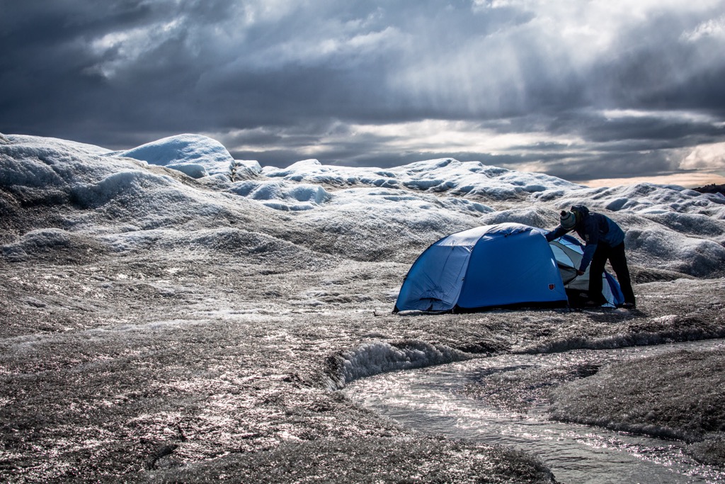
Most of the camps are only inhabited during the summer except for some military and scientific research stations. Within the park, Summit Camp is a year-round station that was established upon the ice sheet. The members of the Sirius Patrol are among the few that live in and travel across the park year-round.
The Sirius Patrol is an elite Danish military unit that patrols 16,000 km (10,000 mi) of the Greenland coast. In the summer, they patrol the coast by boats and in winter they patrol using dog sleds. The Sirius Patrol is the result of a conflict of sovereignty over northeast Greenland between Norway and Denmark in the 1930s.
The International Court of Justice ruled that Denmark had sovereignty over the region so long as it could maintain a patrol of the area. The units patrol the coastline of northeast Greenland as six teams of two and reconnoiter the entire coast of northeast Greenland every three to four years.
There are no official trails nor are there any tourist facilities in Northeast Greenland National Park. To even visit the park, visitors must write a letter to and receive permission from the Danish Polar Centre.
The warmer weather of the summer months is more conducive to exploring the national park; however, the winter months offer experiences and sights that few have had or seen. The journey to and through Northeast Greenland National Park is difficult and expensive but the experiences and sights of the park are worth the effort and expense.
The following are the major attractions of the park:
Located upon the Greenland Ice sheet, 3210 m (10,500 ft) above sea level, Summit Camp sits upon the highest point of the ice sheet and higher than any of the mountains in the park. The year-round research facility is managed by an American company and has as few as five occupants during the winter to upwards of 50 during the summer. Visits to the station require permission from the Danish Polar Center and the Home Rule of Greenland.
The island is known for its incredible views of the surrounding region. Visitors to the island can hike one of the paths to the summit to take in the scenic vista and spot the nearby wildlife. Polar bears may be seen along the shore and you may view some of the passing whales during your visit. In 1971 a meteorite was discovered on the island.

Of the many stunning areas in Northeast Greenland National Park, Kaiser Franz Joseph Fjord is sure to delight all who visit. The location is a great place for hiking as visitors immerse themselves in the landscape of tundra and spectacular mountains.
The area is frequented by wildlife such as musk oxen, arctic foxes, and eider ducks. Visitors can camp between the stunning blue water and the red-hued mountains.
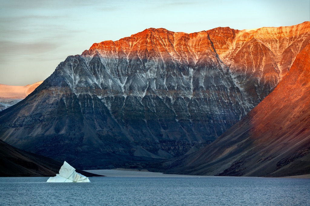
Located near the town of Ittoqqortoormiit, Scoresby Sund is the largest fjord in the world. Visitors will likely be graced with the sight of walruses, puffins, seals, and other animals. During the summer there is a delightful burst of color from the wildflowers and berry shrubs that make the most of their short growing season.
The surrounding shoreline and mountains make for great places to hike and sightsee, and excursions can be arranged with local guides and tour operators. One of the main attractions are the icebergs floating in the fjord. Combined with the midnight sun, the fjord makes a spectacular sight and a wonderful destination in the park.
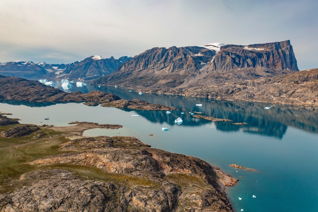
Northeast Greenland National Park is the largest and northernmost national park in the world. The park is remote and getting to it is difficult. After receiving permission from the government to visit the park, most visitors arrive at the park through Ittoqqortoormiit.
Located adjacent to Northeast Greenland National Park, Ittoqqortoormiit is the closest community to the park. The community of fewer than 500 people is located on Liverpool Land and along the shores of Kangertittivaq fjord.
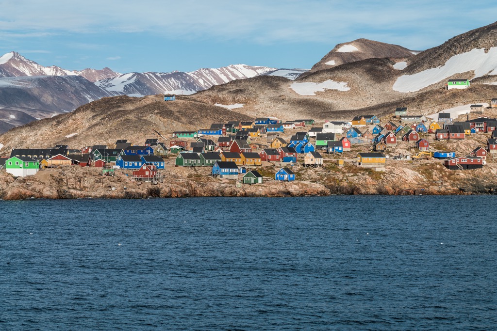
The community was established with about 80 Inuit settlers in 1925, when Denmark was trying to establish sovereignty over northeast Greenland. The area was historically occupied by Inuit and the rich hunting grounds allowed the residents to prosper. The economy is still driven by hunting and fishing; however, the tourism industry is starting to grow.
Ittoqqortoormiit is one of the most remote towns in Greenland and it is also one of the closest towns to Iceland. The town is where most expeditions to Northeast Greenland National Park originate for tourists and researchers. Chartered transportation and tour guides for the park can be hired from Ittoqqortoormiit.
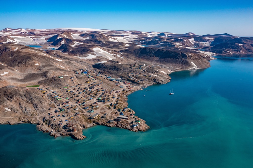
The town has a guest house which offers single and double rooms and there is an in-house kitchen that provides meals. The hotel is considered one of the most remote hotels in the world.
Visiting with locals of Ittoqqortoormiit is a fantastic way to discover more about the local culture, as is visiting the museum. Other popular activities in the hamlet include hiking, hunting, fishing, boat tours, and kayaking.
Explore Northeast Greenland National Park with the PeakVisor 3D Map and identify its summits.


