Get PeakVisor App
Sign In
Search by GPS coordinates
- Latitude
- ° ' ''
- Longitude
- ° ' ''
- Units of Length

Yes
Cancel
❤ Wishlist ×
Choose
Delete
The Central Karoo District Municipality is located in the Western Cape province of South Africa. It’s defined by its arid, semi-desert landscape and vast plains interspersed with relatively large mountains. The district has 775 named mountains, the highest and most prominent of which is Seweweekspoortpiek, measuring 2,325 meters (7,628 ft).
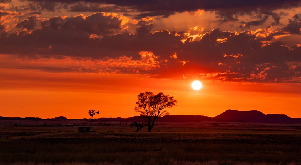
The Central Karoo District Municipality is the largest district by area in the Western Cape, covering approximately 3,885,300 hectares (9,600,785 ac). The district includes the local municipalities of Beaufort West, Laingsburg, and Prince Albert.
Geographically, the Central Karoo District is centrally positioned within the Western Cape province and borders several other districts and provinces. To the north, it is bordered by the Northern Cape province, and it touches the Eastern Cape province to the east. The district is bordered to the south and southwest by the Garden Route and Cape Winelands District Municipalities, respectively, and to the west, it meets the West Coast District Municipality.
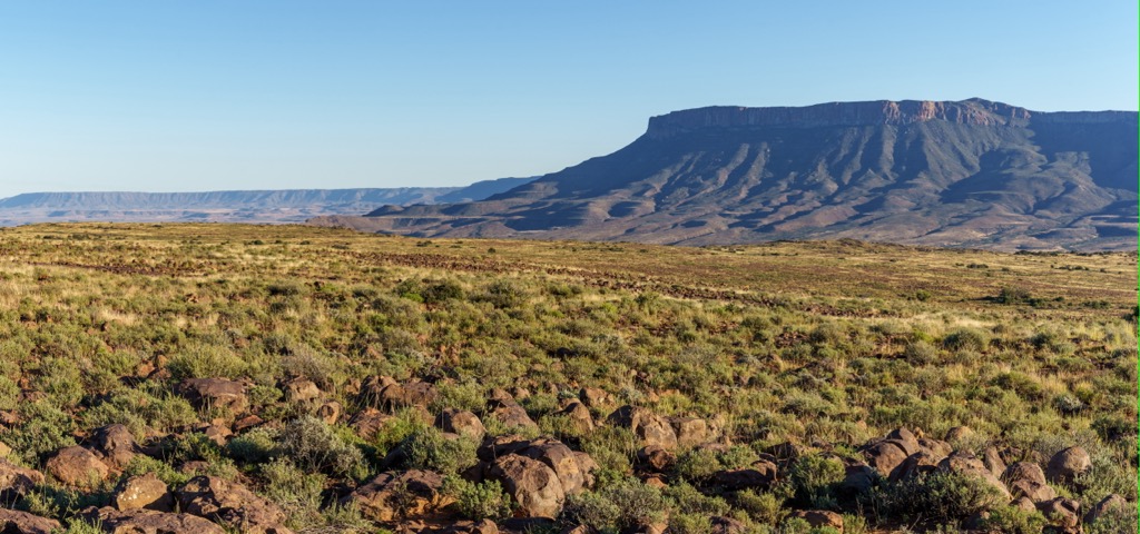
The Central Karoo is characterized by semi-desert landscapes featuring vast plains, rugged mountains, and valleys. The generally flat to gently undulating terrain is interspersed with occasional hills and isolated mountain ranges, such as the Swartberg Mountains to the south and the Nuweveld Mountains to the north. These mountain ranges significantly influence the local climate and hydrology relative to the lowlands.
The climate in the Central Karoo is arid to semi-arid, with annual rainfall ranging from 100 to 300 mm (4 to 12 in). The region experiences extreme temperature variations, with hot summers exceeding 40°C (104°F) and cold winters that can drop below freezing (32°F), especially at night. The dry climate and low humidity contribute to frequent droughts, which have contributed to the low density of human habitation both historically and today.
Water resources are scarce in the Central Karoo. Intermittent rivers and streams mark the district's hydrology. The Gouritz River and its tributaries provide limited but essential water for agriculture and human use. Groundwater, accessed through boreholes, is a crucial regional water source.
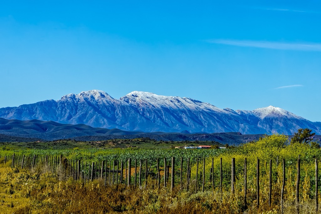
The geology of the Central Karoo is predominantly defined by sedimentary rock formations dating from the late Carboniferous to the early Jurassic periods, approximately 300 to 180 million years ago. These formations are part of the Karoo Supergroup, which is divided into several subgroups and formations that reflect different depositional environments and geological periods. The oldest rocks in the sequence belong to the Dwyka Group, characterized by glacial deposits indicating an ancient ice sheet that once covered the region during the late Carboniferous to early Permian glaciation.

South Africa is a bastion of biodiversity, and the Central Karoo District Municipality is no exception. Despite the arid conditions, the district supports a surprisingly wide variety of plant species, including succulents, shrubs, and grasses. The district is expansive and encompasses a diversity of ecosystems, further increasing its biodiversity. Species like spekboom (Portulacaria afra) and various types of aloe are common. The unique adaptations of these plants, such as water-storing succulent leaves and deep root systems, enable them to survive in this environment.
The Central Karoo's wildlife is adapted to the region's arid conditions. Species include antelopes like the springbok and gemsbok, smaller mammals like meerkats and Cape foxes, and various reptiles and birds. Many species have developed strategies to cope with limited water availability and extreme temperatures.
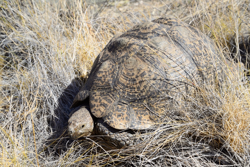
The earliest inhabitants of the Central Karoo District Municipality were San hunter-gatherers, who lived in the region for thousands of years, leaving behind rock art that still exists today as a testament to their presence.
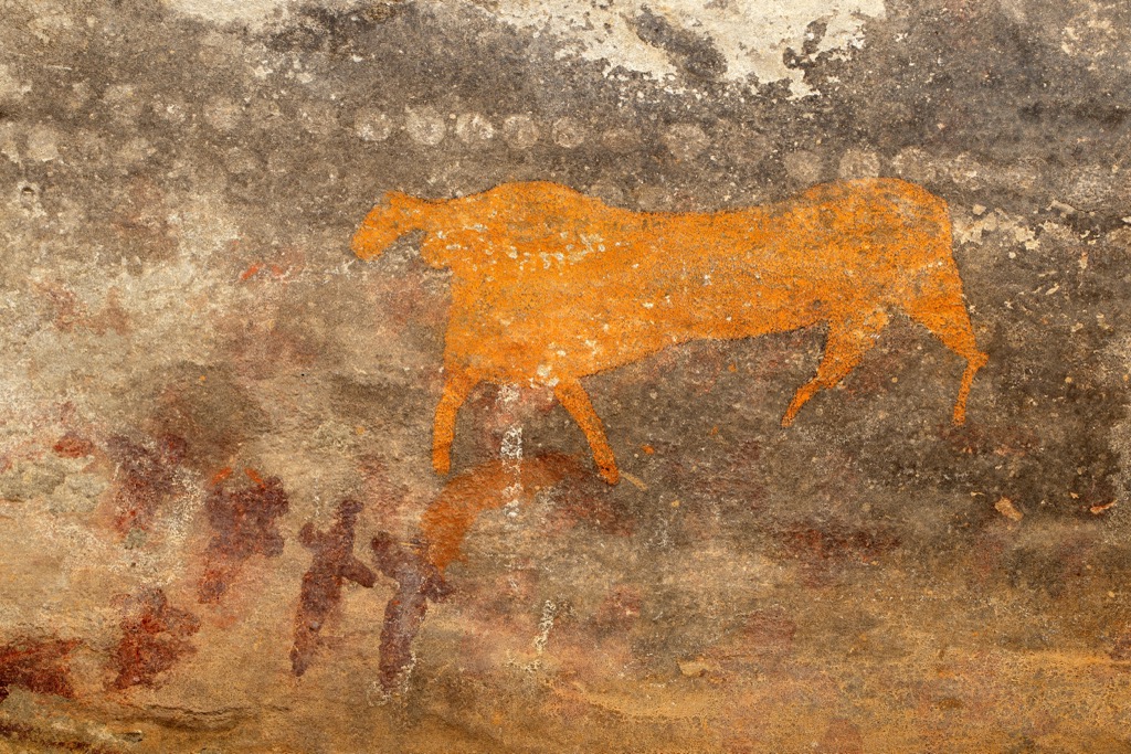
The area began to attract European explorers and settlers in the 17th century. Dutch and later British settlers arrived in search of grazing land for their livestock, which led to conflicts with the indigenous Khoi herders who also inhabited the area.
During the 18th and 19th centuries, the Central Karoo saw significant expansion and development, particularly with the establishment of farms and towns. Agriculture, particularly sheep farming, became a major economic activity, shaping the landscape and communities of the region.

The Central Karoo played a significant role in the late 19th and early 20th century Anglo-Boer Wars. Battles were waged, and the region experienced the hardships of war, including the concentration camps that held Boer women and children.
Like the rest of South Africa, the Central Karoo was deeply affected by the policies of apartheid, which enforced racial segregation and discrimination. Towns and communities were divided along racial lines, and black residents faced systematic oppression and disenfranchisement.
With the end of apartheid in the early 1990s, South Africa entered a new era of democracy and reconciliation. The Central Karoo, like the rest of the country, began the process of dismantling apartheid-era policies and working towards greater social and economic equality.
Like the rest of South Africa, the region faces continued economic hardship in the face of government corruption and youth enemployment. The Karoo is also remote, sparsely populated, and lacking natural resources. Tourism and agriculture are the mainstays of the fragile present-day economy.
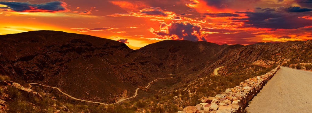
The Swartberg Nature Reserve is located between the Swartberg and Langeberg Mountains and offers a range of hiking trails. The 12 km (7 mi) Tierberg Hiking Trail leads to Tierberg, the highest peak in the reserve, and provides mountain vistas of Perdekop, Plooiberg, and the Outeniqua Mountains on clear days. The De Hoek Day Trail spans 17 km (10 mi) over two days and features views of the Swartberg Mountains along with diverse vegetation and wildlife. Additionally, the 22 km (14 mi) Albertberg Hiking Trail crosses the Swartberg Pass, while the 30 km (19 mi) Donkey Trail follows a historic trading route once used by farmers.
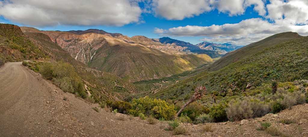
The Swartberg Hiking Trail offers a 16 km (10 mi) trek through the scenic Swartberg Mountain Range near Oudtshoorn. Hikers will traverse several significant historical and cultural sites throughout the journey, including the renowned Swartberg Pass, Cango Caves, and the remote Gamkaskloof Valley. Historical landmarks like the 1800s toll house and ancient San rock art provide cultural insights, while wildlife sightings include Cape mountain zebras and various bird species. Though the trail doesn't involve summiting any peaks, hikers will be surrounded by a constant backdrop of mountains, including Platberg, Albertberg, and Gousberg.
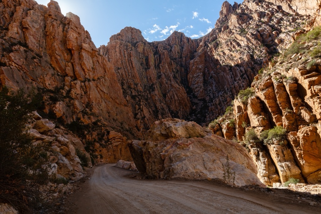
Tankwa Karoo National Park, situated in one of South Africa's driest areas, presents distinctive terrain for hikers. The Elandsberg Trail is approximately 7 km (4 mi) long, with an elevation gain of 201 meters (659 ft), and winds through the Elandsberg hills. Mountain bikers can explore the Buitekring MTB Trail, which extends 50 km (31 mi) and has an elevation gain of 634 meters (2,080 ft). This trail features gravel roads with sharp and often loose gravel. For a more extensive adventure, the Tankwa Camino offers a 256 km (159 mi) pilgrimage-like journey through the greater Tankwa Karoo region.
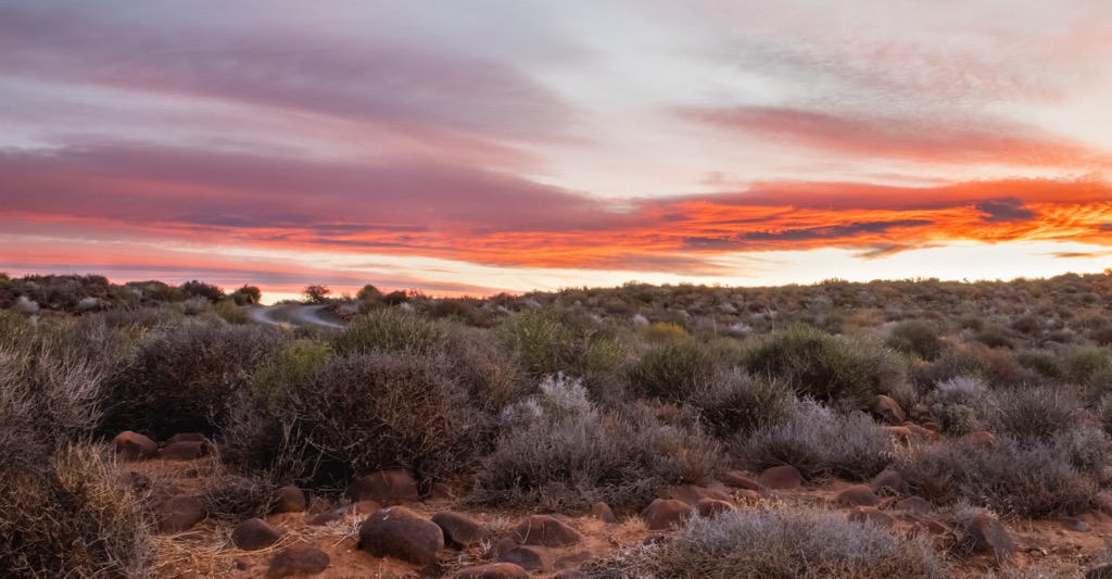
Karoo National Park offers a variety of hiking trails that showcase the area's distinctive semi-desert terrain and abundant flora and fauna. Among these trails are the Bossie Trail, an easy 2 km (1 mi) walk offering educational insights into the local environment, and the Fossil Trail, a short but enriching 400-meter (1,312 ft) path featuring displays of ancient fossils and information about prehistoric life forms. The Klipspringerpas Road trail extends about 6 km (4 mi) with an elevation gain of 226 meters (741 ft), while the more challenging Potlekkertjie Trail features an elevation gain of 1,183 meters (3,881 ft) and offers vistas of the surrounding peaks of Bilthouters Bank, Nuweveldberg, and Die Skoen.
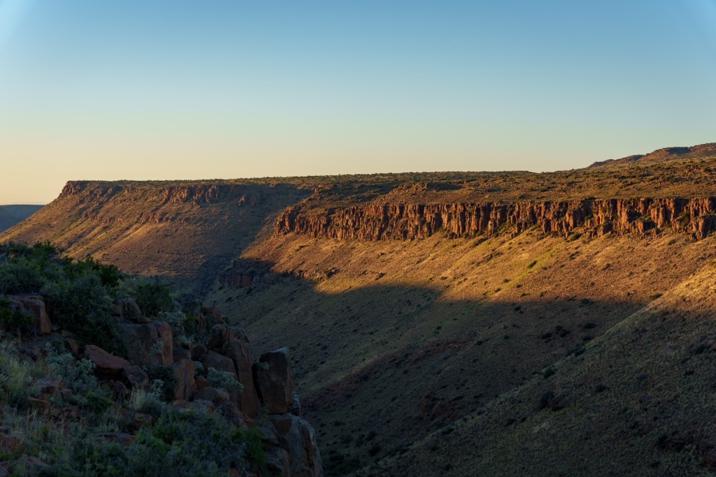
Prince Albert, situated at the foothill of the Swartberg Pass in the Great Karoo, boasts a rich historical background. The town features a collection of well-preserved buildings in Victorian, Karoo, and Cape Dutch architectural styles.
The area surrounding Prince Albert is renowned for its olive production. Visitors can taste locally produced olive oils, tapenades, and other gourmet products at the town's olive farms and tasting rooms.
Due to its secluded location and minimal light pollution, Prince Albert provides excellent conditions for stargazing. Whether at the local observatory or simply finding a quiet spot outside of town, visitors can marvel at the spectacular sight of the Milky Way and countless stars in the night sky.
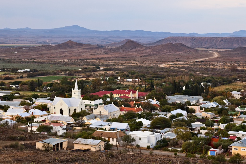
Oudtshoorn is often called the Ostrich Capital of the World, and for good reason. Numerous ostrich farms in the area offer guided tours to learn about these fascinating birds, see them up close, and feed them.
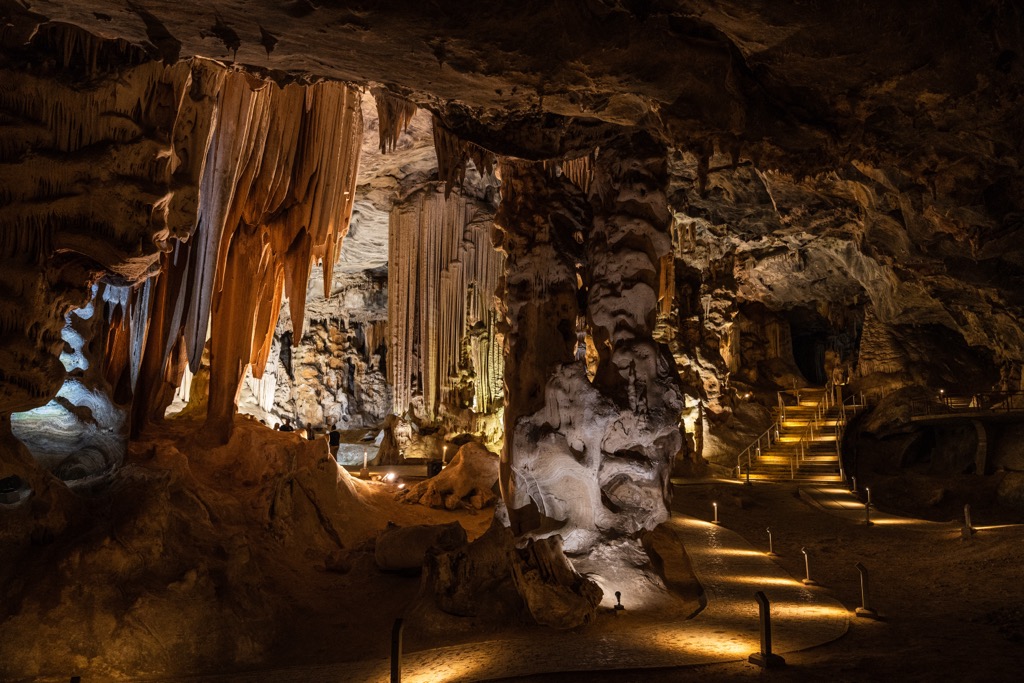
A prominent feature of Oudtshoorn is the Cango Caves, ancient limestone formations that attract numerous visitors. Guided cave tours allow exploration of their intricate formations and caverns while providing insights into their geological significance and historical relevance.
Visitors can also embark on wildlife safaris in the Klein Karoo region. These safaris, conducted in 4x4 vehicles, offer a chance to delve into the semi-arid landscape and encounter a variety of wildlife, including antelope and zebra.
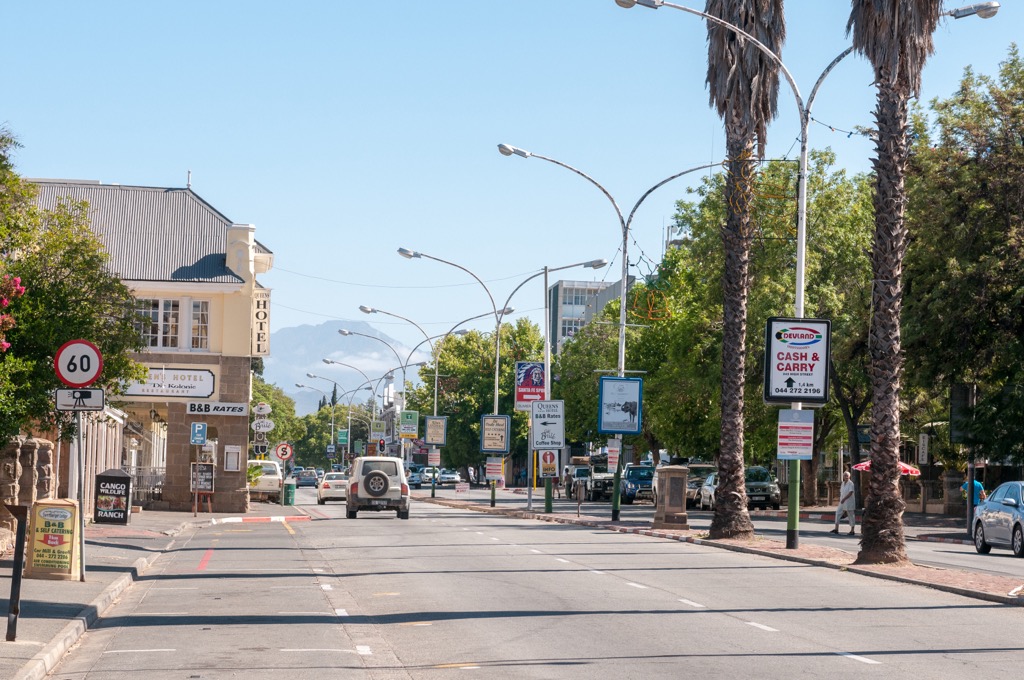
Explore Central Karoo District Municipality with the PeakVisor 3D Map and identify its summits.


