Get PeakVisor App
Sign In
Search by GPS coordinates
- Latitude
- ° ' ''
- Longitude
- ° ' ''
- Units of Length

Yes
Cancel
❤ Wishlist ×
Choose
Delete
The Northern Cape is the largest and most sparsely populated province in South Africa. Desert ecosystems define the province; it covers a significant portion of the Kalahari Desert and is home to the Karoo region, characterized by semi-desert terrain and unique vegetation. The rock strata is rich in minerals, and Kimberley is famous for its historic diamond mines, which have produced some of the largest diamonds ever discovered. The Northern Cape is also home to natural attractions like the Augrabies Falls National Park, known for its dramatic waterfalls, and the Kgalagadi Transfrontier Park. There are 3840 named mountains in the Northern Cape. Oppermanskop is the highest point and measures 2,098 meters (6,883 ft). The most prominent mountain is Rooiberg, at 1,705 meters (5,594 ft).
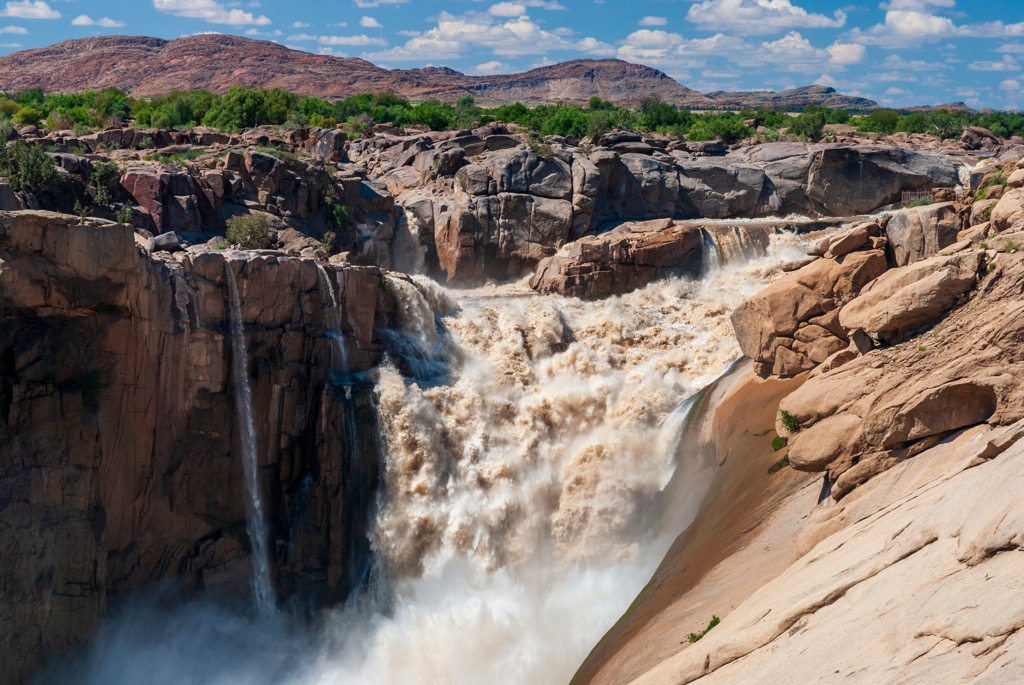
The Northern Cape spans about 37,288,900 ha (92,142,878 ac), covering nearly a third of South Africa's land area. Located in the country's northwest, it borders the Atlantic Ocean to the west, Namibia and Botswana to the north, and the South African provinces of North West, Free State, and Western Cape to the east and south.
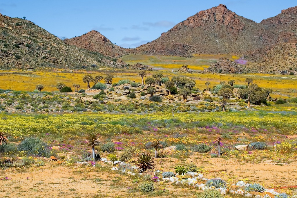
Key geographical features include the Kalahari Desert in the northeast, famous for its red sand dunes, sparse vegetation, and adapted wildlife. Along the west coast, Namaqualand is renowned for its wildflower displays after winter rains.
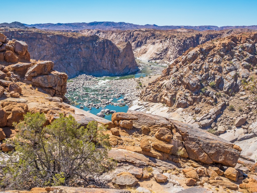
The province also has notable mountain ranges. The Roggeveld and Nuweveld Mountains in the south are part of the Karoo landscape. The Richtersveld in the northwest features rugged terrain and unique biodiversity and has become a UNESCO World Heritage site.
Despite the province’s arid nature, significant rivers cut through the landscape. The Orange River, South Africa’s longest, forms the northern boundary with Namibia. As the Orange River’s largest tributary, the Vaal River is also critical for the Northern Cape’s ecology and agriculture.
The Northern Cape’s Atlantic coastline is short, with cold, nutrient-rich waters supporting fishing industries and diamond mining activities. The province’s climate varies from arid in the Kalahari to Mediterranean along the coast. Weather conditions are generally extreme, with blisteringly hot summers, cold winter nights, and low rainfall. Most rainfall occurs in brief but intense thunderstorms; flash flooding is common but highly localized.
Minerals such as diamonds, copper, and iron ore are found in this resource-rich province. Kimberley, also known as the Diamond City, is historically significant for diamond mining, and the Sishen mine in Kathu is one of the world’s most extensive open-pit iron ore operations.
The Northern Cape’s geology is dominated by some of the oldest rocks on Earth, with a history that dates back to the Precambrian era.
The Northern Cape forms part of the Kaapvaal Craton, one of the oldest and most stable geological formations. This ancient block of continental crust dates back over 2.5 billion years and is composed of granites, greenstones, and ancient sediments. It underpins much of southern Africa.
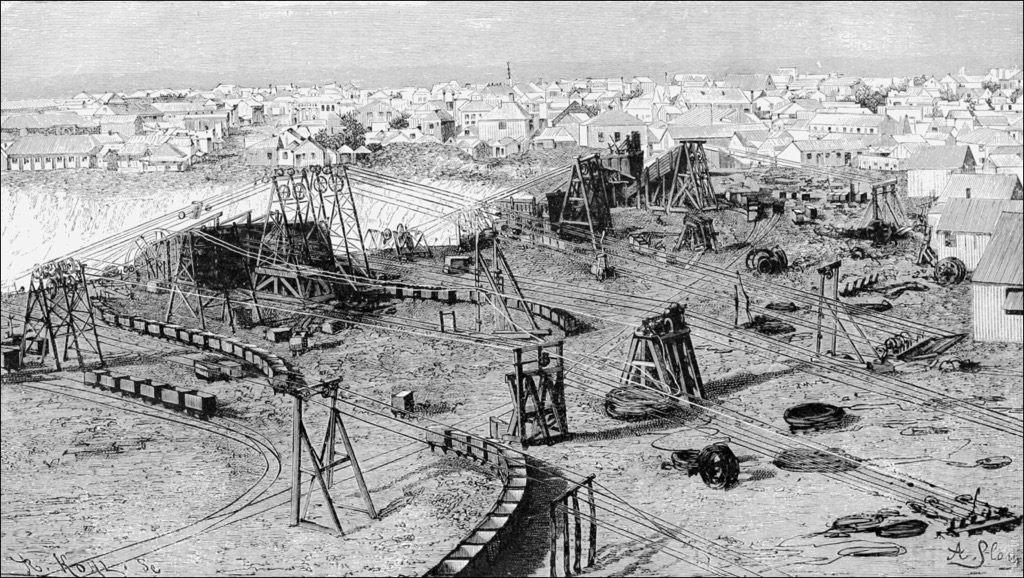
The Northern Cape is famous for its kimberlite pipes, which are volcanic rock formations that bring diamonds from deep within the Earth's mantle to the upper crust. The city of Kimberley is built around one of the most famous kimberlite pipes. The Big Hole, one of the largest hand-dug excavations, is a result of diamond mining in the 19th and 20th centuries.
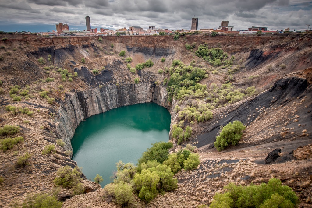
Besides diamonds, the Northern Cape is rich in other minerals, including manganese, copper, zinc, lead, and iron ore. The Aggeneys mining district is known for its zinc and lead deposits, while the Sishen mine near Kathu is one of the world's largest open-pit iron ore mines. Additionally, The Griqualand West Basin, part of the broader Kalahari Basin, is rich in iron and manganese deposits; the Kalahari Manganese Field contains some of the world's largest high-grade manganese ore deposits.
In the northern reaches, the geology is dominated by the Kalahari Desert, with vast sand dunes comprising uniquely red sands blown in from the interior. These sands cover much of the underlying bedrock but are relatively young in geological terms, having been deposited in the last few million years.
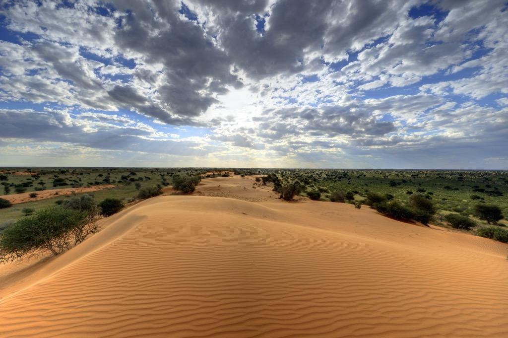
The Northern Cape’s arid climate of extreme temperatures and low rainfall shapes its ecological landscape. Key biomes in the province include the Nama Karoo, which has dwarf shrubs and succulents supporting mammals like springbok and gemsbok.
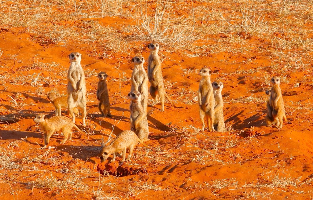
The Succulent Karoo is known for its rich succulent diversity and hosts unique species like the Namaqua chameleon. The semi-arid Savanna biome, with grasslands and scattered trees, supports elephants, giraffes, lions, and leopards. The Kalahari Desert features sparse vegetation and red dunes, home to the Kalahari lion and meerkat.
The Orange River is a vital water source; rare wetlands support migratory birds. Significant ecological sites include the Richtersveld, a UNESCO World Heritage Site, and the Kgalagadi Transfrontier Park.
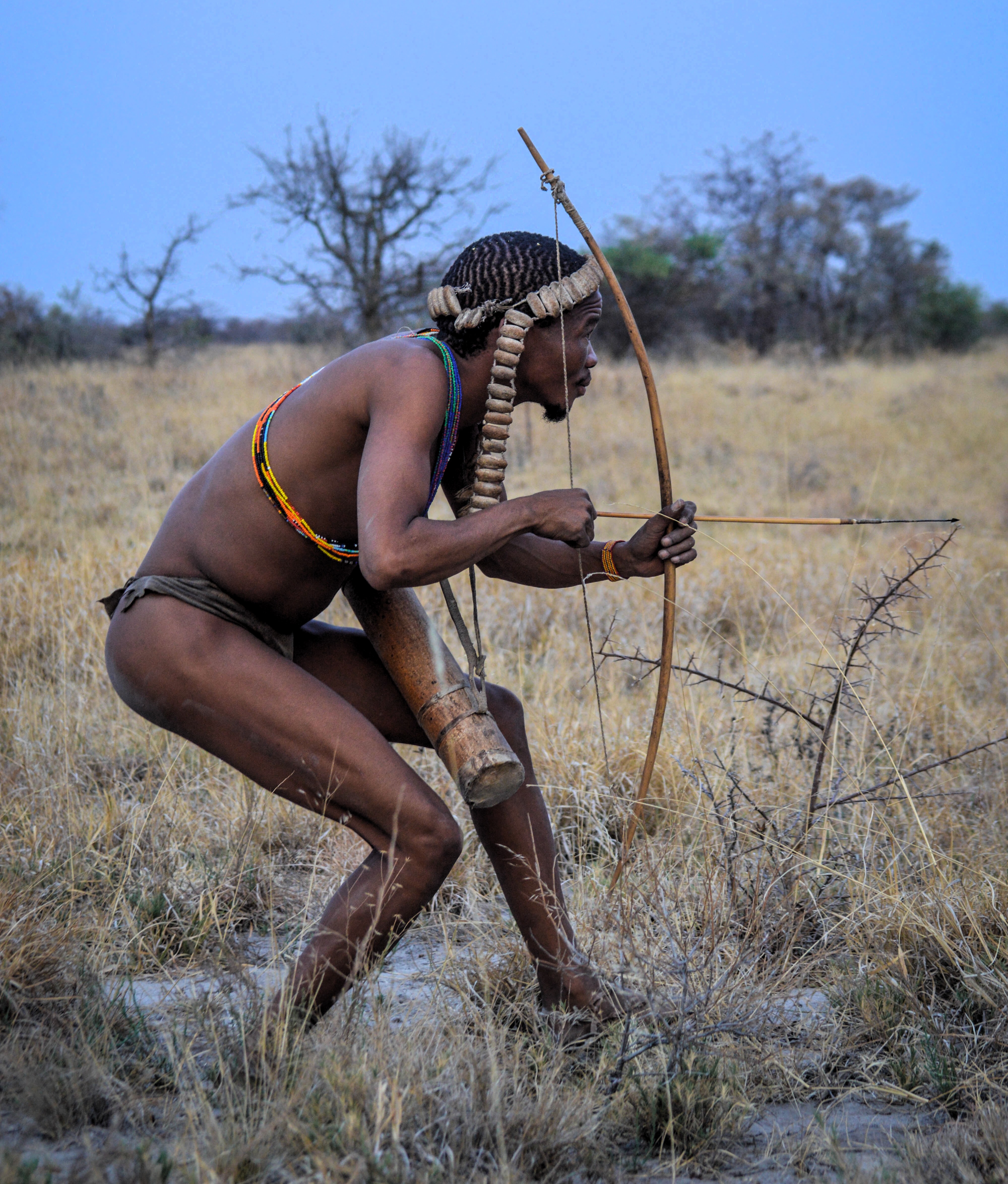
The first inhabitants of the Northern Cape were the Khoisan peoples, including the San bushmen and the Khoikhoi pastoralists. Archaeological sites like Wonderwerk Cave and the Wildebeest Kuil Rock Art Centre offer a glimpse at their history.
The 17th century saw the arrival of Europeans. In 1652, the Dutch East India Company launched a station at Cape Town and gradually expanded into the interior, leading to increased conflict with the Khoisan over resources.
The discovery of diamonds in the 1860s brought global attention. The diamond rush led to rapid urbanization and economic development, particularly near Kimberley. The formation of De Beers Consolidated Mines in 1888 marked the beginning of large-scale mining operations.
In 1910, the Northern Cape became part of the Union of South Africa and ruled as a British constitutional monarchy. Compared to the rest of the country, the region remained largely rural and underdeveloped, although mining continued to drive economic activities. Under apartheid, the Northern Cape experienced racial segregation and marginalization, with forced removals and relocations.
After the end of apartheid in 1994, the Northern Cape became one of South Africa's nine provinces. Today, mining, agriculture, and tourism drive the Northern Cape's economy.
The province is still by far the most rural in South Africa; the population density is 3.65 / ㎢. The second-least densely populated province, Free State, stands at 22.8 / ㎢, while Gauteng (the most dense province) is 831 / ㎢. The rural, undisturbed nature of the land makes it possible for the remaining San hunter-gatherers to thrive here.
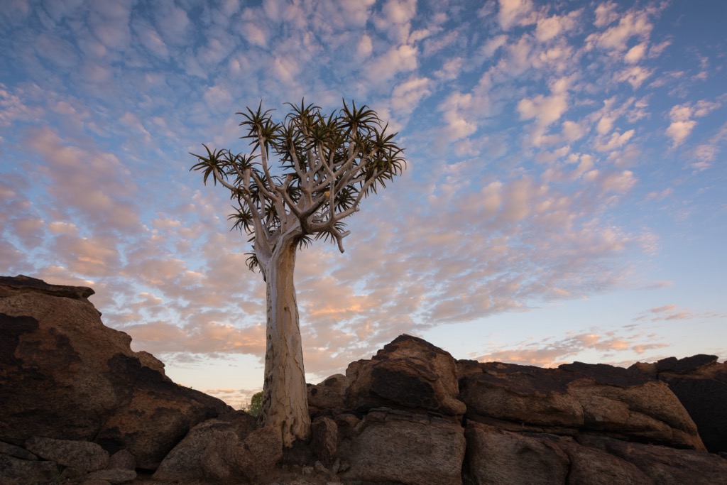
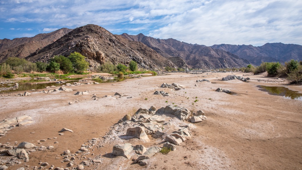
The ǀAi-ǀAis/Richtersveld Transfrontier Park offers rugged and diverse hiking trails around the border between South Africa and Namibia. The park is known for its desert flora, including quiver trees and halfmens succulents, and is home to over 200 bird species.
Many of the trails here are of the multi-day variety, allowing visitors to truly experience the park’s wilderness. The highlight is the Fish River Canyon Hike, an 85 km (53 mi) trail showcasing one of the world's largest canyons.
The most challenging hike is the four-day Vensterval Trail, open from April to September. It requires a qualified guide and takes hikers through quartzite gorges, botterboom succulents, and the Tswaies Mountains. For a shorter hike, the Kodaspiek Trail offers a two-day trek with panoramic views of Kodaspiek Mountain. Meanwhile, the three-day Lelieshoek-Oemsberg Trail provides an assortment of desert flora with possible sightings of leopard activity.
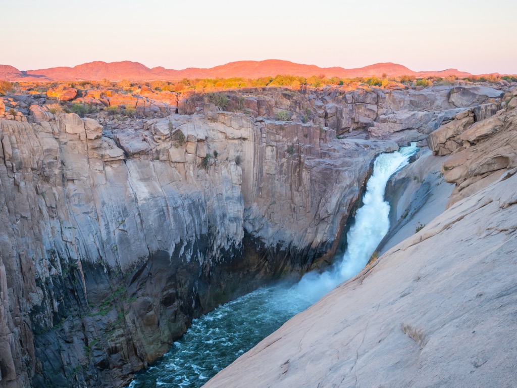
Augrabies Falls National Park, situated on the Orange River, features one of Africa’s largest waterfalls and rocky canyons. The 5.5 km (3.4 mi) Dassie Trail offers views of Augrabies Falls and the surrounding gorge, showcasing the park's landscapes, including the gneiss dome of Moon Rock and Swartrante's layered rocks. For more seasoned hikers, the 36 km (22 mi) Klipspringer Hiking Trail is a challenging multi-day trek through mountains, gorges, and arid plains, with wildlife sightings of klipspringers and baboons and opportunities for stargazing.
The shorter 2.8 km (1.7 mi) Ebony Trail is ideal for families. It offers a shorter walk along the Orange River with excellent birdwatching. The 2 km (1.2 mi) Twin Fall Trail provides a moderate hike with steep sections and rocky terrain, with prominent views of Twin Falls and the Orange River.
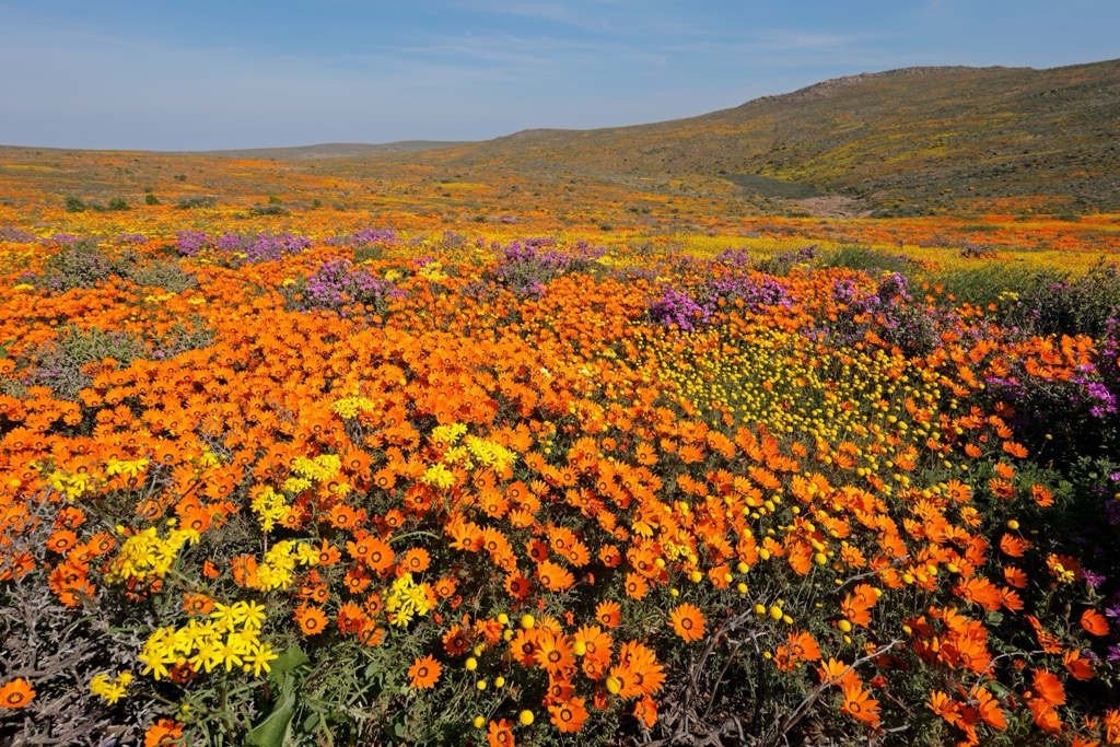
Namaqua National Park is renowned for its semi-arid coastal landscape and wildflower displays, particularly during August and September. The park offers trails suitable for various fitness levels and interests. The 5 km (3 mi) Skilpad Walking Trail is popular during flower season and showcases colorful daisies, lilies, and succulents. The 3 km (1.8 mi) Korhaan Walking Trail meanders through bushy areas, providing a different perspective on the park’s flora and opportunities to spot small wildlife of dassies, tortoises, and korhaans.
For a coastal trek, the 6.5 km (4 mi) Heaviside Hiking Trail, which begins at the Abjoel viewing deck, features a mix of rocky sections and long white beaches, with chances to see Heaviside dolphins, humpback whales, and various seabirds. Those seeking a comprehensive experience of the Namaqua landscape can drive the 188 km (117 mi) 4x4 Caracal Eco Trail from the coast to the inland mountains, with possible sightings of the park's caracals.
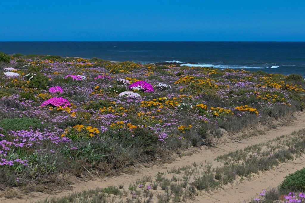
Tankwa Karoo National Park, located in the semi-desert Greater Karoo, is a biodiversity hotspot within the Succulent Karoo biome. The park is home to several hiking trails. The Tankwa Camino is a 100 km (60 mi) trek that traverses open plains, rugged mountains, and seasonal riverbeds. For a moderate challenge, the Elandsberg Trail is 7.4 km (4.6 mi) long and has a 201 meter (659 ft) elevation gain climbing Elandsberg. It features flat and gentle inclines and provides panoramic views of the surrounding landscape.
The park also offers the Buitekring MTB Trail, which covers 50.7 km (31.5 mi) with a 634 m (2,080 ft) elevation gain. Although designed for mountain biking, this trail is also suitable for experienced hikers.
The Fossil Trail is the most accessible option. It spans 400 meters (0.25 mi), with an accessible paved path, and features displays of fossils and petrified wood.
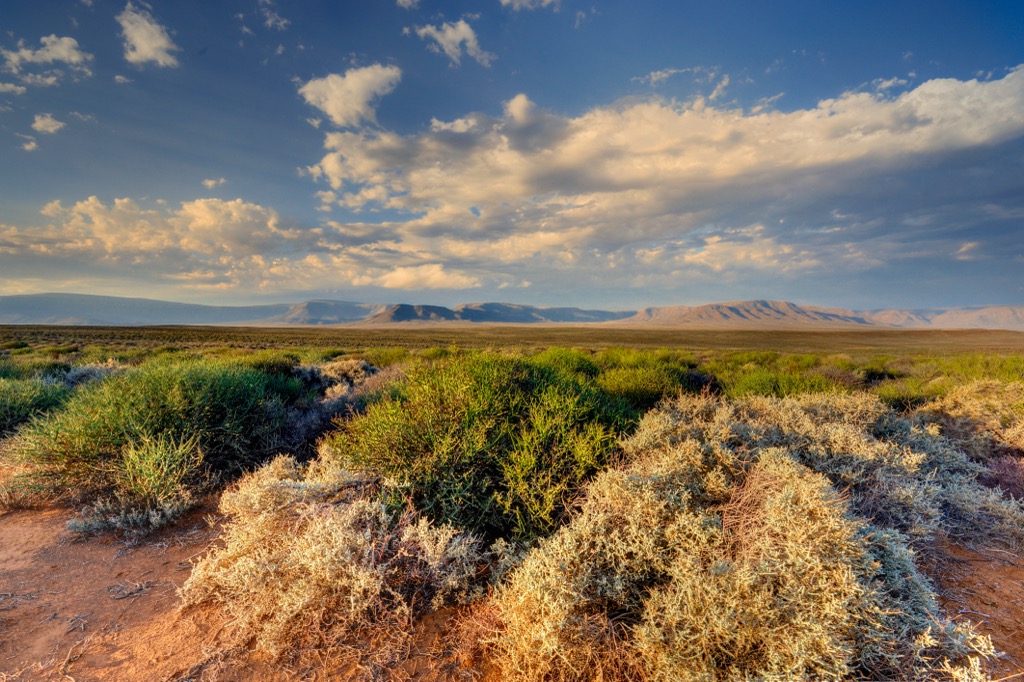
Kimberley is a historic city famous for its diamond mining past. Founded in the late 19th century after diamonds were discovered on the De Beers brothers' farm, Kimberley quickly became a bustling mining town. Today, it's the capital of the Northern Cape and its largest city.
The Big Hole, the world’s largest hand-dug excavation, is one of Kimberley's key attractions. The nearby Kimberley Mine Museum offers a look into diamond mining history and the miners' lives. The museum has a recreation of the diamond rush era featuring authentic buildings, mining equipment, and informative exhibits.
Approximately 80 km (50 mi) southwest of Kimberley, Mokala National Park supports diverse wildlife, including endangered species like the black rhino. The park offers game drives, guided walks, and bird-watching. Meanwhile, just outside Kimberley, the Wildebeest Kuil Rock Art Centre showcases ancient San rock engravings, some thousands of years old.
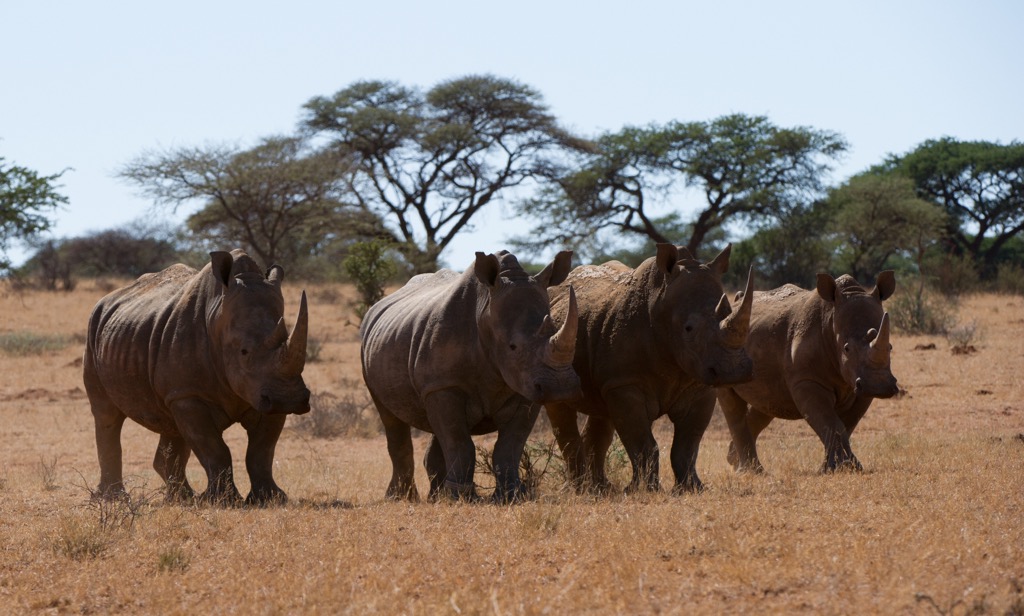
Upington is a town located along the banks of the Orange River. The semi-desert town was founded in 1873 as a mission station and has grown into an agricultural hub due to its river proximity and irrigation.
Upington is well-known for its wine production, especially from the Orange River Wine Cellars, one of the largest cooperative wine cellars in the world. Here, you can buy the region's famed Chenin Blanc and Colombard. Meanwhile, wineries like Bezalel Wine and Brandy Estate offer tours detailing the winemaking process and tastings of local wines, including Chenin Blanc, Colombard, and Pinotage.
The Orange River is another highlight. Visitors can take river cruises or go canoeing and kayaking for wildlife spotting of fish eagles, kingfishers, and otters.
Kgalagadi Transfrontier Park is located near Uptington. The vast wilderness is famous for its landscapes and wildlife, including the rare black-maned Kalahari lion. The park features remote bush camps and excellent wildlife viewing at waterholes.
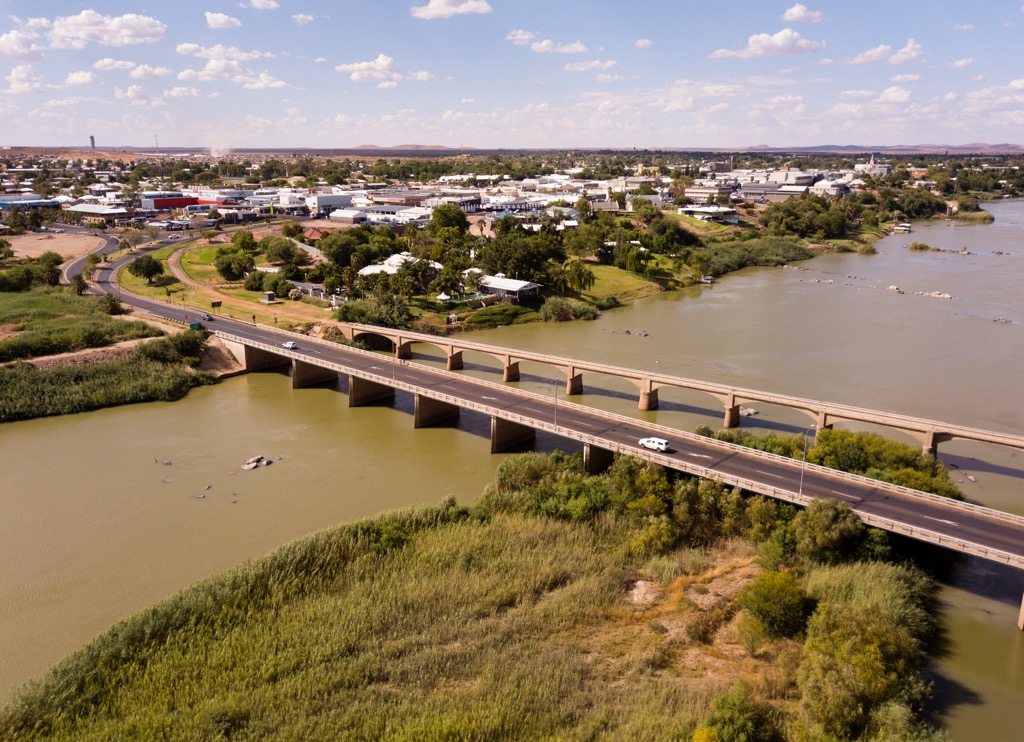
Explore Northern Cape with the PeakVisor 3D Map and identify its summits.


