
Scan the QR code and open PeakVisor on your phone
Botswana is home to 356 named mountains. The highest is Monalanong Hill at 1,494 m.
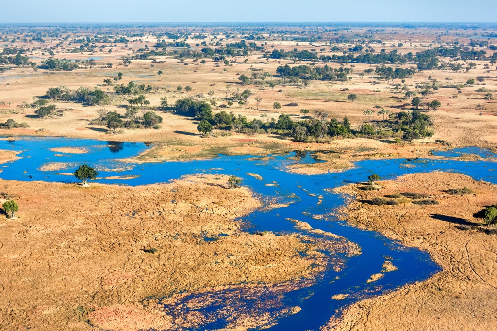
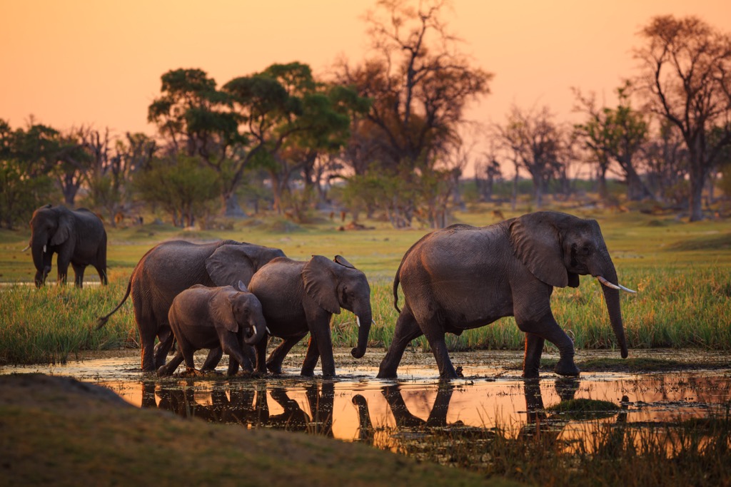
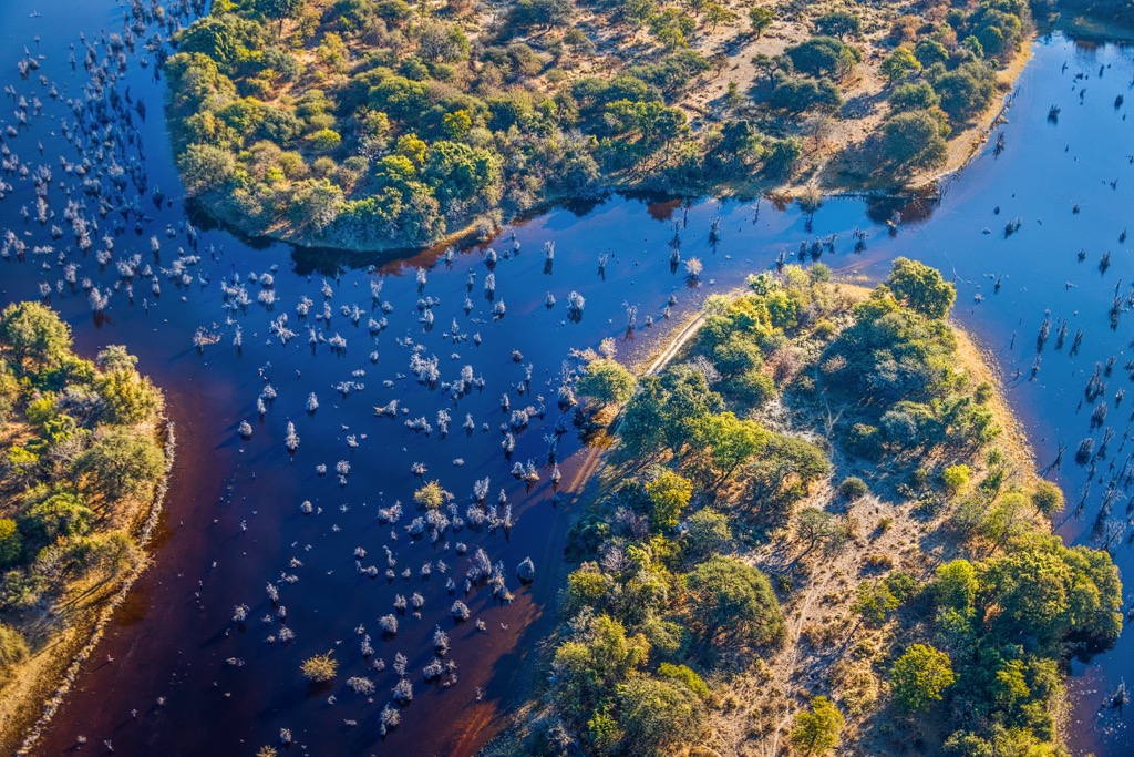
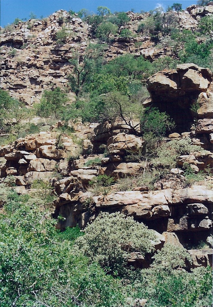
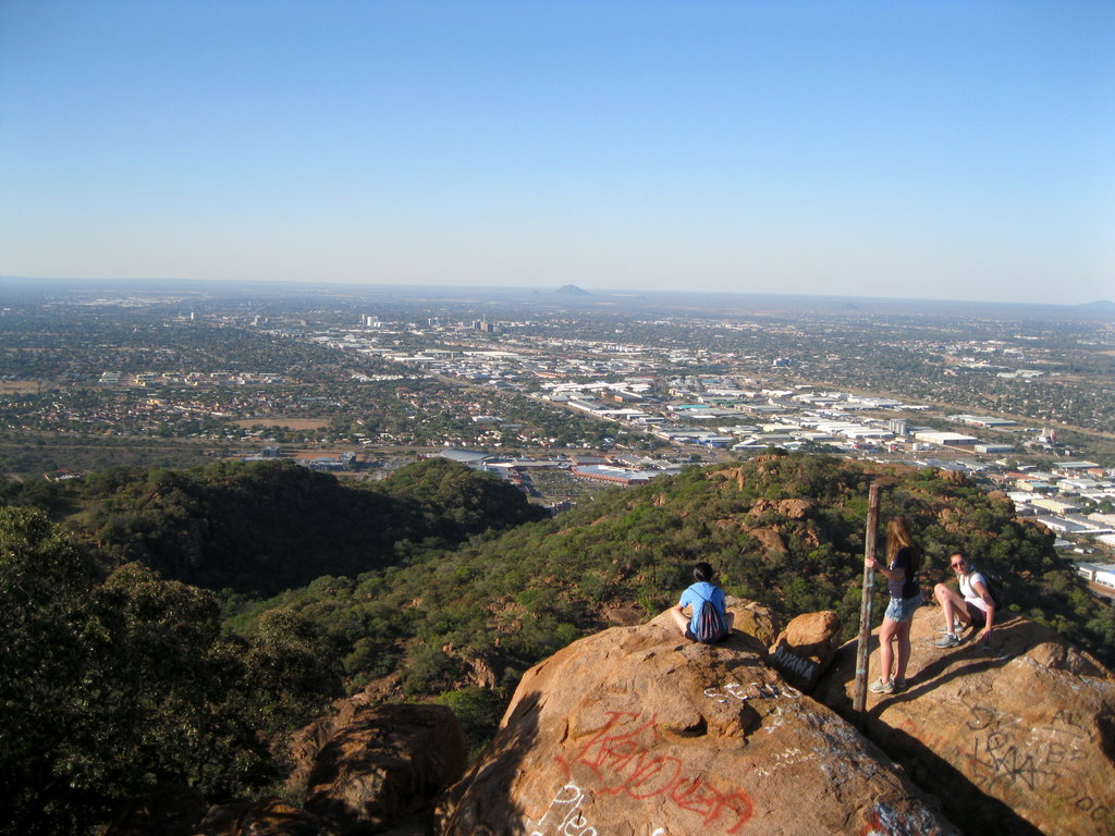
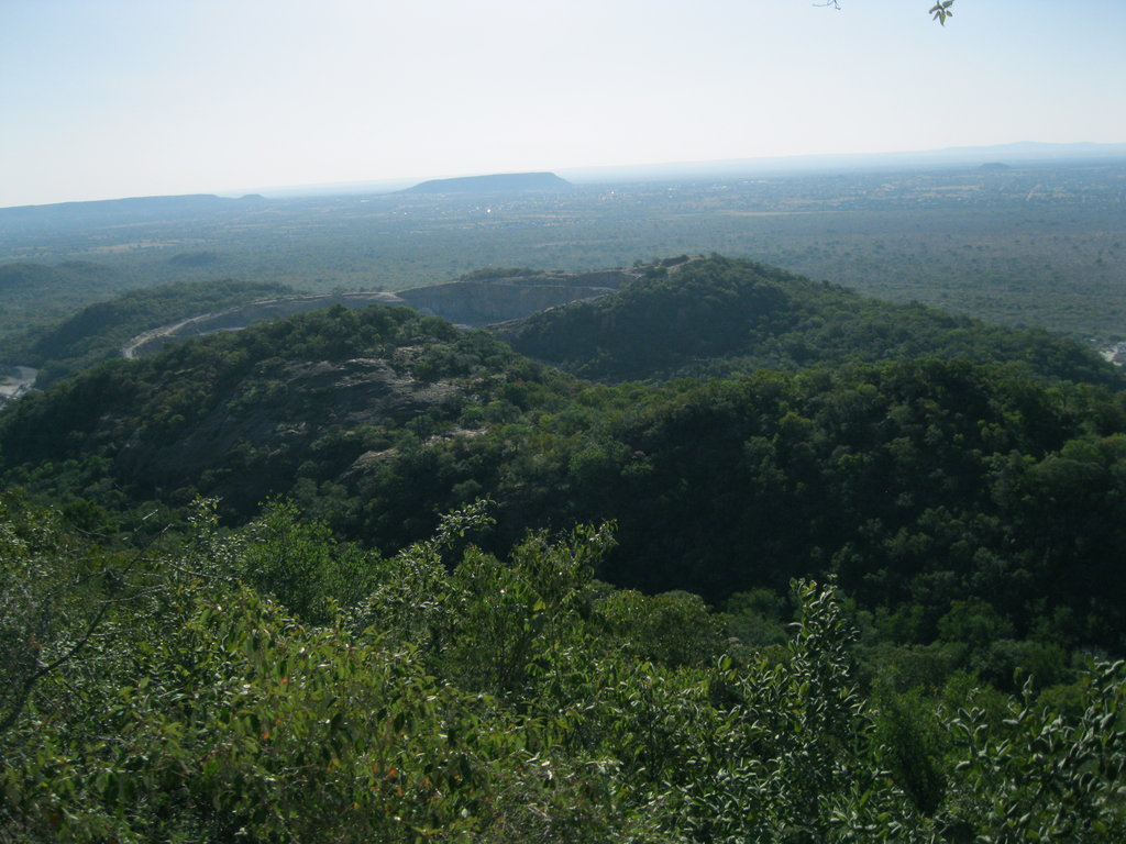
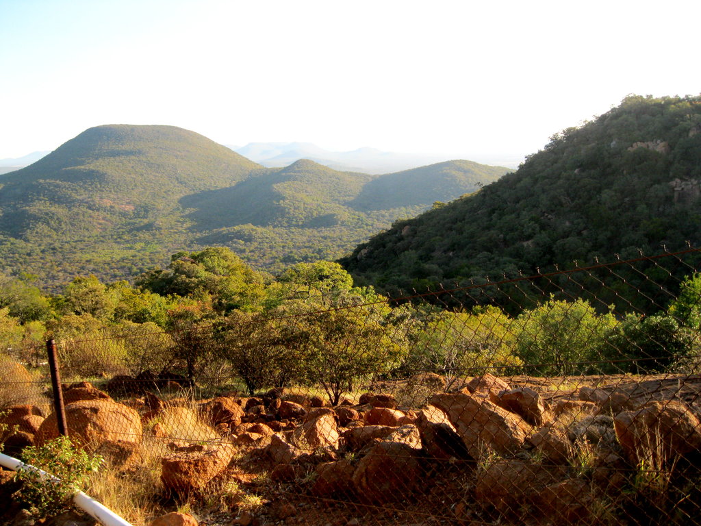
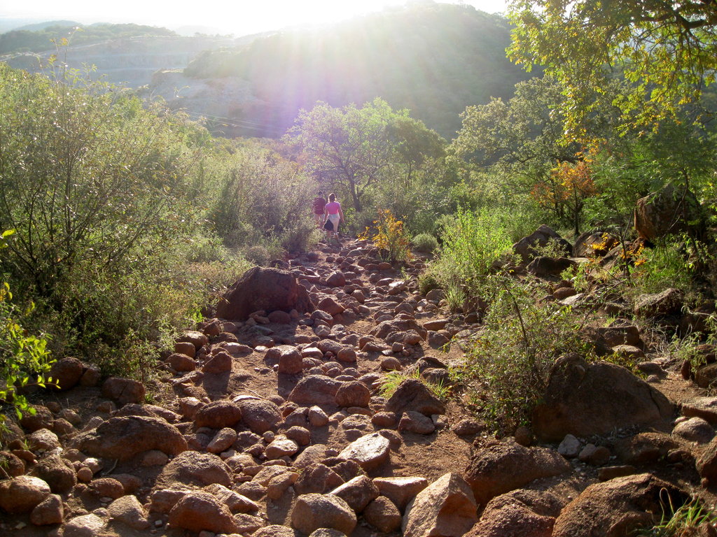
Botswana is a large country in the central part of Southern Africa. The country's main natural feature is the Kalahari Desert, a large semi-arid sandy savanna covering up to 70% of its area. It is home to many famous African animals from zebras to giraffes, as well as many unique trees and plants. Botswana mountains are located mostly on the eastern borders of the country with an average elevation of 1,013 m (3,323 ft), which despite its predominantly flat landscape, makes it one of the mountainous states in the world by this by this measure, higher than the world average (840 m / 2,756 ft). In total there are 356 named mountains in Botswana. Monalanong Hill (1,494 m / 4,901 ft) is the highest point. The most prominent mountain is Male Hill (1,390 m / 4,560 ft).

Yes. Botswana has 356 named mountains. The highest is Monalanong Hill at 1,494 m.
The highest mountain in Botswana is Monalanong Hill, at 1,494 m.
Botswana has 356 named mountains.


