Get PeakVisor App
Sign In
Search by GPS coordinates
- Latitude
- ° ' ''
- Longitude
- ° ' ''
- Units of Length

Yes
Cancel
❤ Wishlist ×
Choose
Delete
Mokala National Park, located in the Northern Cape province of South Africa, encompasses savannah, bushveld, and rugged hills and is known for its wildlife viewing opportunities. There are three named mountains in Mokala National Park; the highest and the most prominent is Bakenskop.
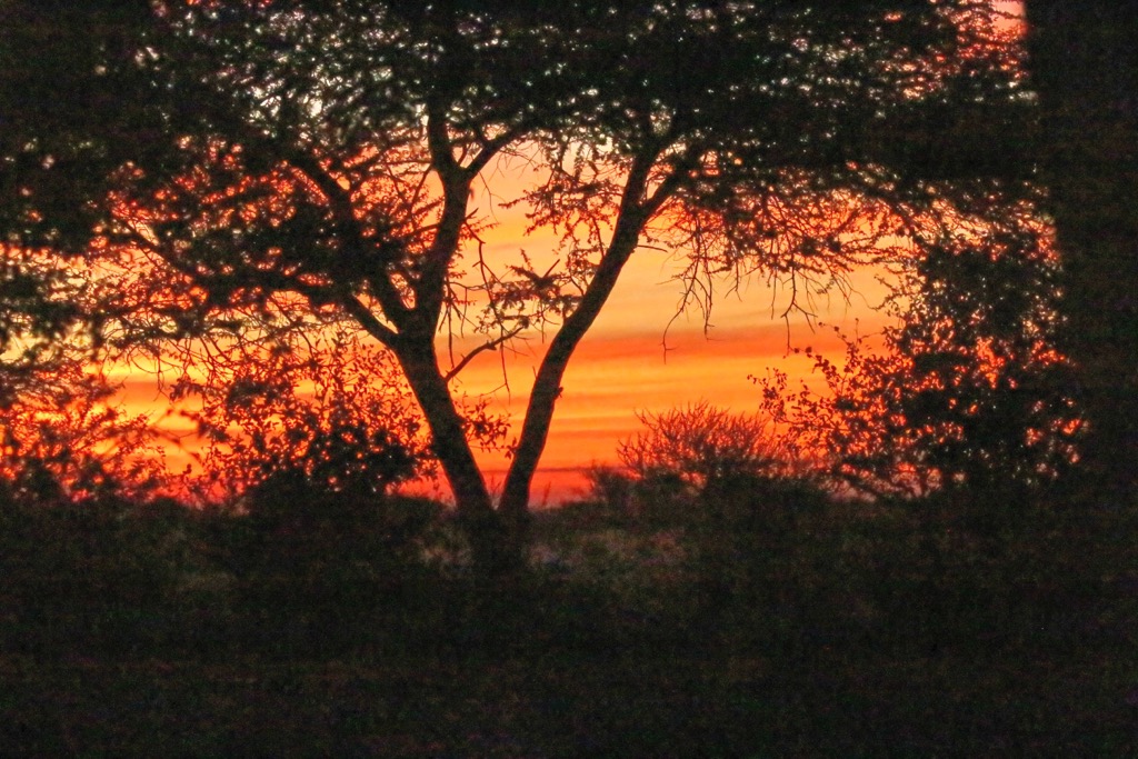
Mokala National Park is about 80 km (50 miles) southwest of Kimberley, the capital city of the Northern Cape. It lies within the transition zone between the arid Kalahari Desert to the north and the more temperate grasslands and shrublands to the south.
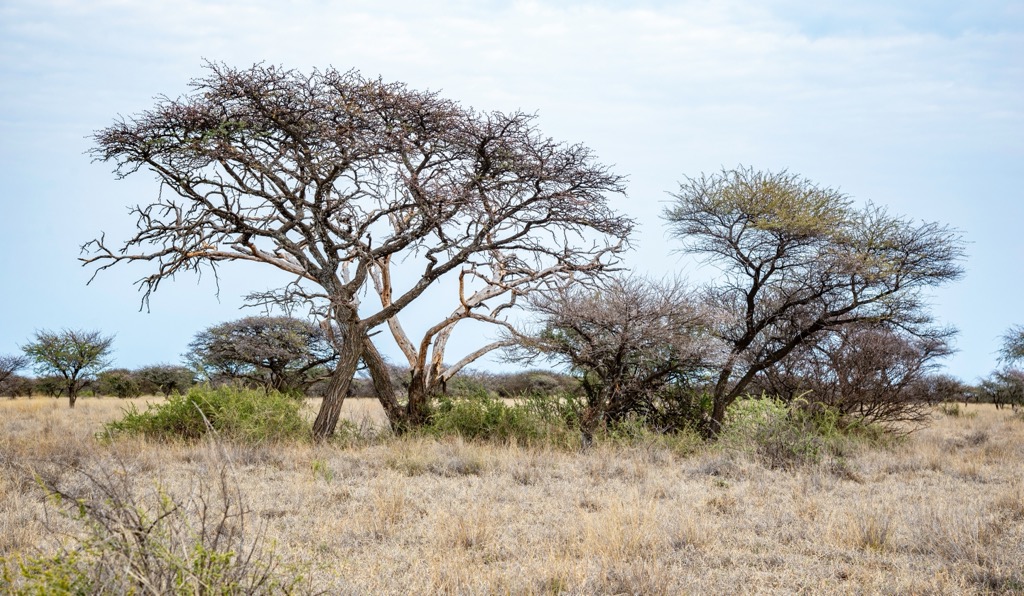
The park is a relatively new reserve that covers an expansive area of 26,485 ha (65,445 ac). The name Mokala originates from the Setswana word for the camel thorn tree, which is abundant within the park and characteristic of South Africa’s arid western interior.
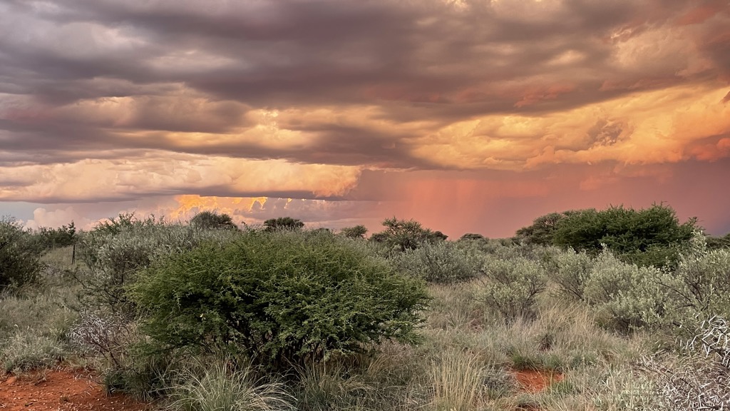
The landscape within Mokala National Park varies between rolling hills, known as koppieveld, and vast plains adorned with isolated dolerite hills. Several dry riverbeds intersect the landscape, and intermittent streams flow during the rainy season. The diverse topography creates a variety of habitats, many of which are conducive to viewing large mammals, including the Big Five (lion, leopard, rhinoceros, elephant, and African buffalo).
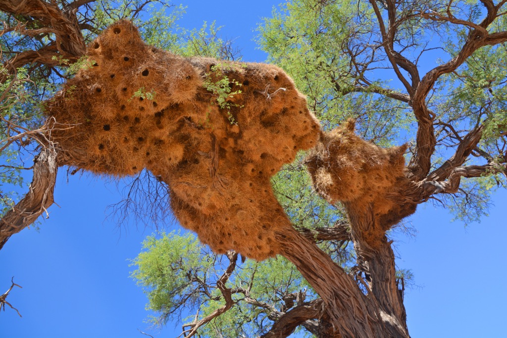
Mokala National Park lies at the interface between the savanna biome (including the Kalahari and Nama Karoo) and the Nama Karoo biome. The savanna biome features flat, sandy terrain dotted with camel thorns, umbrella thorns, and sociable weaver nests. Rocky lava outcrops, calcrete, and shales characterize the Nama Karoo biome.
The Northern Cape experiences a dry climate with fluctuating temperatures. Summers are scorching, with temperatures ranging between 33°C and 36°C (91°F to 97°F). Occasionally, temperatures can soar above 40°C (104°F). Winters bring milder day temperatures of 22°C (72°F), but nights can be chilly, often dropping below 0°C (32°F).
Rainfall is sparse, averaging 300 mm to 500 mm (12 in to 20 in) annually, and evaporation rates exceed precipitation. Nearly all precipitation occurs during the rainy season, from October to April. The winter months, while cooler, are also drier and experience little measurable rainfall.
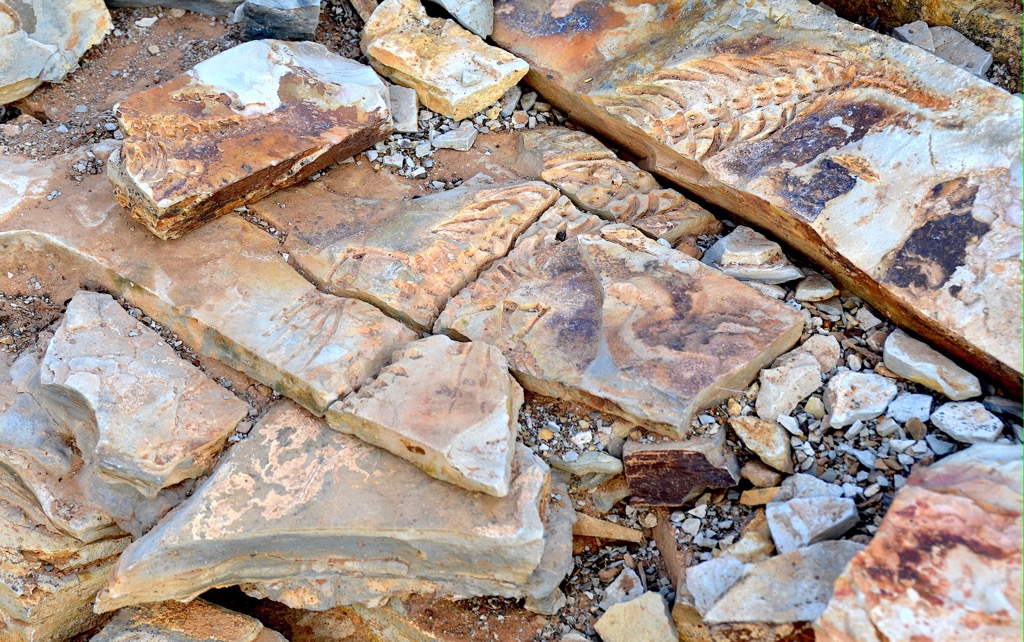
Mokala National Park lies within the broader geological context of the Karoo Supergroup, which dates back to the late Carboniferous period, approximately 300 million years ago. This geological formation is renowned for its rich fossil record, providing insights into ancient ecosystems and life forms.
The park’s landscape is shaped by various formations, including andesitic lavas, which form isolated rocky hills, and dolerite intrusions in the form of dykes. The park also features tillite from the Dwyka Formation and shale from the Prince Albert Formation. The majority of the park is covered by aeolian sand, which overlays the Dwyka tillite. The soil types vary, from deep red and yellow sands to shallow and stony areas.
The vegetation of Mokala National Park is predominantly dry savannah and thornveld, with species such as camel thorn, shepherd's tree, and various grasses dominating the landscape. Along the riverbanks and drainage lines, lush vegetation, such as riverine forest and dense shrubbery, provides important habitats for many species of birds and mammals.
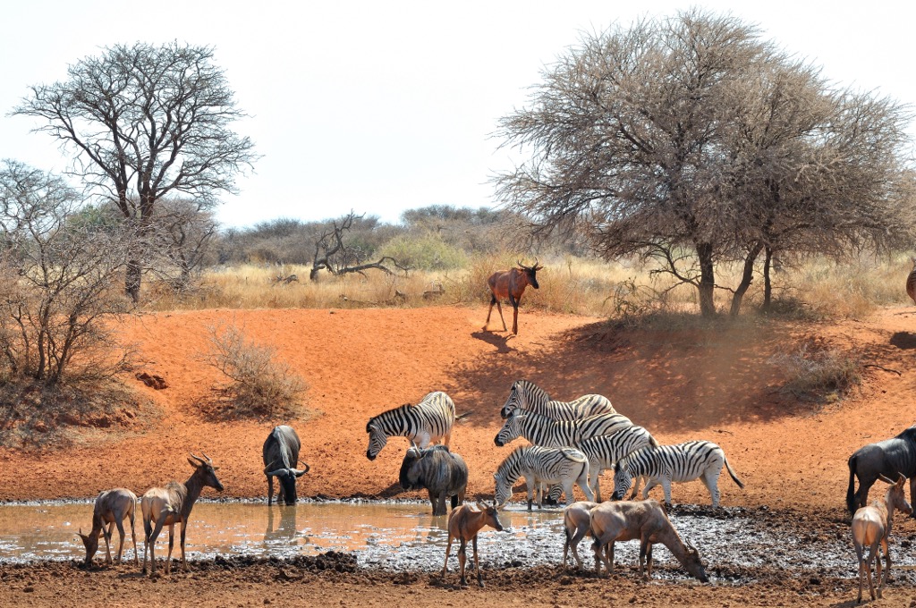
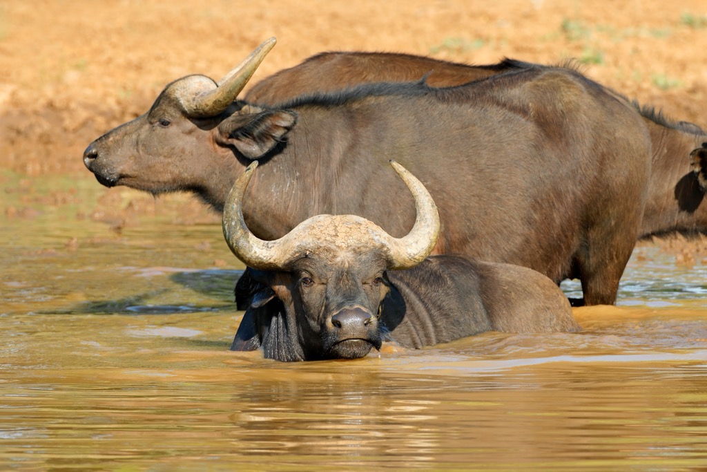
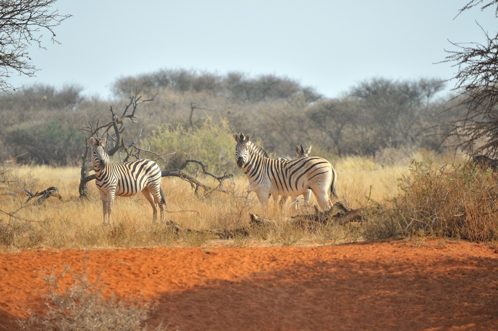
Mokala National Park is home to a wide array of wildlife, including several species endemic to the region. Large mammal species in the park include herds of black and white rhinoceros, Cape buffalo, giraffe, red hartebeest, and springbok. The park also includes predators such as leopards, cheetahs, brown hyenas, and smaller carnivores like black-backed jackals and African wildcats.
The park is a haven for birdwatchers, with over 200 bird species recorded within its boundaries. Species commonly spotted include various eagles, vultures, owls, hornbills, rollers, weavers, and migratory birds during certain times of the year.
Humans have inhabited the area around Mokala National Park for millennia. Archaeological evidence suggests that Stone Age peoples lived in the region, leaving behind tools, rock art, and other artifacts. These early inhabitants would have relied on the area's rich biodiversity for sustenance, hunting game, and gathering plants.
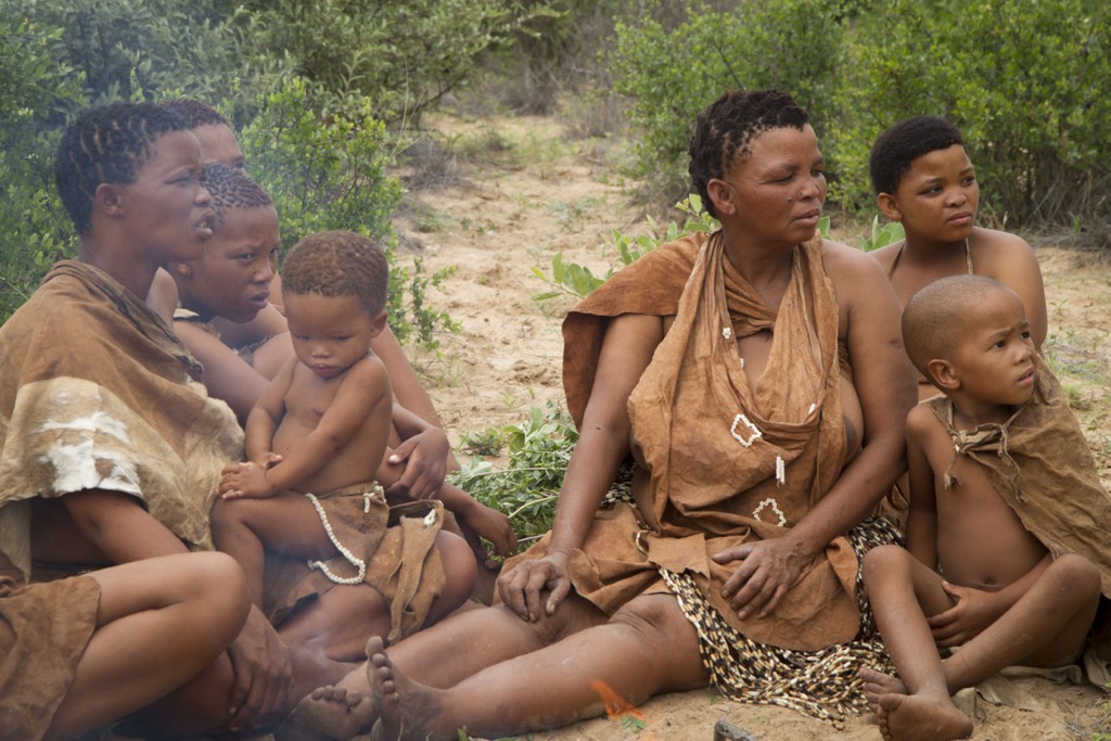
The San people, also known as Bushmen, are believed to have inhabited the area around Mokala National Park for thousands of years. These hunter-gatherers were skilled survivalists who adapted to the challenges of their environment. Evidence of their presence can be found in rock art sites within the park.
Like much of South Africa, the land around Mokala National Park has a colonial history. With the arrival of European settlers, particularly in the 19th century, the landscape underwent significant changes. The establishment of farms and ranches altered the natural habitats, and conflicts between settlers and indigenous peoples further shaped the region's history.
Mokala National Park was established in 2007 to conserve the region's unique biodiversity.
The Haak-en-Steek Camp Trail in Mokala spans 5 to 10 km (3 to 6 mi) and is easy to moderate in difficulty. It winds through hills and plains, offering views of Bakenskop, the bushveld, and grassy expanses. Hikers may spot antelope, giraffes, and birds grazing on the plains and at the nearby waterhole.
The Lilydale Rest Camp Trail spans 7 km (4 mi) of easy walkable terrain. Beginning at the Lilydale Rest Camp, the trail guides hikers through a variety of ecosystems within the park, from riverine forests to dense acacia groves and grasslands, all featuring abundant wildlife. En route, walkers pass the Riet River and can observe the nearby hills of Kook Fontein, Die Krans, and Marokskop.
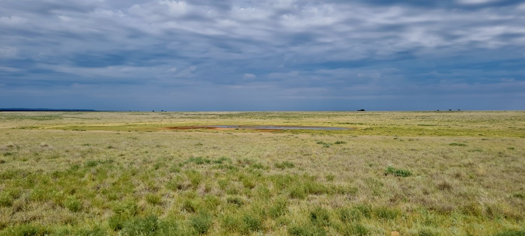
The Mellifera Trail is a double track that, along with the Merakeng Trail, departs from main roads for a more immersive experience in the park's landscape. It covers 7 km (4 mi) and requires visitors to receive a permit prior to exploration. The trail winds through the koppieveld hills and expansive open plains. The sparse dolerite hills contrast with the vast open sandy plains prevalent in the northern and western regions of the park.
Kimberley is located in South Africa’s Northern Cape province and is a city steeped in history and natural beauty. The city gained prominence during the late 19th century due to the diamond rush that swept through the region.
The discovery of diamonds in Kimberley sparked a surge of fortune seekers, making Kimberley one of the world’s wealthiest cities at the time. Today, remnants of its diamond mining past can be explored through museums and historic sites.
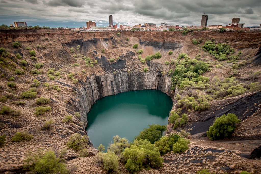
The iconic Big Hole in Kimberley is the world’s largest hand-made excavation (rather than machinery). It was once the richest diamond-producing mine globally and is visible from space. Visitors can explore the Kimberley Mine Museum to learn more about its history. History enthusiasts can also visit the Magersfontein Battlefield, which played a significant role in the Anglo-Boer War.
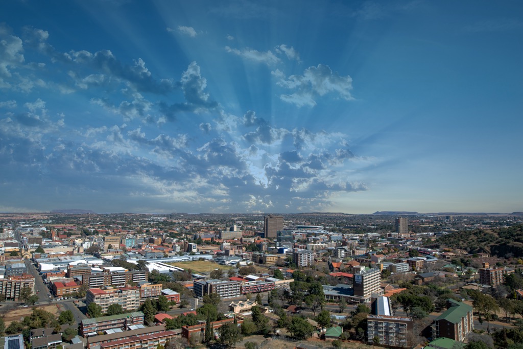
Bloemfontein, affectionately known as the City of Roses, is the judicial capital of South Africa and the provincial capital of the Free State province.
Bloemfontein's surroundings offer ample outdoor adventures, including hiking, mountain biking, and picnicking in nearby nature reserves, such as the Soetdoring Nature Reserve and the Soetdoring Dam Nature Reserve.
Meanwhile, the Naval Hill Planetarium is a fascinating attraction for space enthusiasts. Visitors can learn about human activities related to launching artificial satellites into space.
Finally, visitors can delve into South Africa's history at the Anglo-Boer War Museum. The exhibits include artifacts, photographs, and documents from the war period between the British Empire and the Boer Republic of the time.
Explore Mokala National Park with the PeakVisor 3D Map and identify its summits.


