Get PeakVisor App
Sign In
Search by GPS coordinates
- Latitude
- ° ' ''
- Longitude
- ° ' ''
- Units of Length

Yes
Cancel
❤ Wishlist ×
Choose
Delete
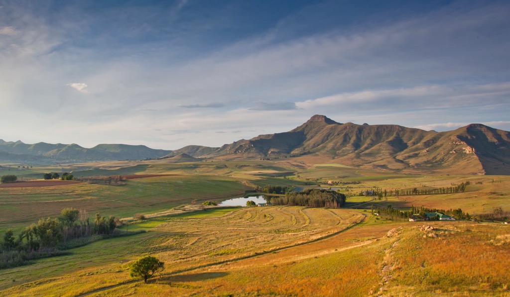
The Free State province in central South Africa is known for its vast landscapes and agricultural productivity. Free State's geography is defined by open plains, with the Maluti Mountains to the east containing nearly all of the state’s named peaks. There are 1159 named mountains in the Free State. Namahadi Peak is the highest point, measuring 3,292 meters (10,801 ft). The most prominent mountain is Ntabazwe, at 2,398 meters (7,867 ft).
The Free State is bordered by six other provinces with Gauteng to the north, Mpumalanga to the northeast, KwaZulu-Natal to the east, Eastern Cape to the south, Northern Cape to the west, and North West to the northwest. It also shares an international border with Lesotho to the southeast, home to the Maloti Mountains.
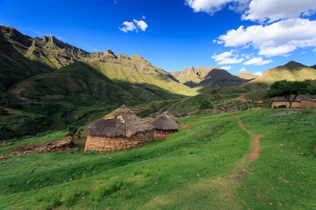
The province’s topography is predominantly characterized by a high plateau, part of the larger interior plateau of South Africa. The elevation ranges from approximately 1,200 meters (3,937 ft) to 2,000 meters (6,562 ft). The Drakensberg and Maloti mountain ranges form a natural boundary along the southeastern edge, contrasting with the plains that dominate the province.
The Free State has a continental climate with warm to hot summers and cold, dry winters. Average summer temperatures reach 30°C (86°F), while winter temperatures drop to -5°C (23°F). Rainfall is relatively sparse, averaging between 500 and 700 mm (20 and 27.5 in) annually, with most rain occurring in summer.
Several major rivers flow through the Free State, including the Vaal River to the north and the Orange River to the south. These rivers are crucial for irrigation; without them, the Free State could not support nearly as much agriculture.
The province's natural vegetation is mostly grassland, with some savanna in the west. Although much of the original wildlife has been displaced by farming, game reserves and parks like the Golden Gate Highlands National Park preserve a fraction of the region's natural habitat and wildlife.
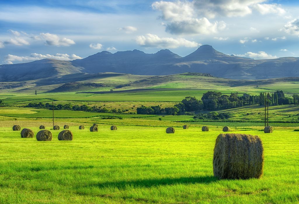
Agriculture is the backbone of the Free State’s economy, with extensive fields of maize, wheat, and sunflowers, as well as livestock production. The province's fertile soils, particularly in the central and eastern regions, make it one of South Africa’s bread baskets. Mining, especially for gold and coal, is also a significant contributor to the regional economy.
The Free State has a diverse geological landscape that has been formed over billions of years.
The Karoo Supergroup originated 300 to 180 million years ago and comprises rocks like shale, sandstone, and coal beds. Much of South Africa’s coal mining is the result of this geologic feature.
Below the Karoo Supergroup is the Ventersdorp Supergroup from 2.7 billion years ago, with volcanic rocks that helped shape the gold-rich Witwatersrand Basin. The province also has the Free State Goldfields and diamond-bearing kimberlite pipes near Koffiefontein, as well as the Vredefort Dome, a 2-billion-year-old meteorite impact crater.
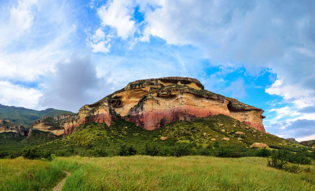
The dominant vegetation in the Free State is grassland. Red grass, acacia, and euphorbia trees thrive in the Highveld's semi-arid conditions. The landscape shifts to bushveld, thicket, and Marula trees in the northeastern regions.
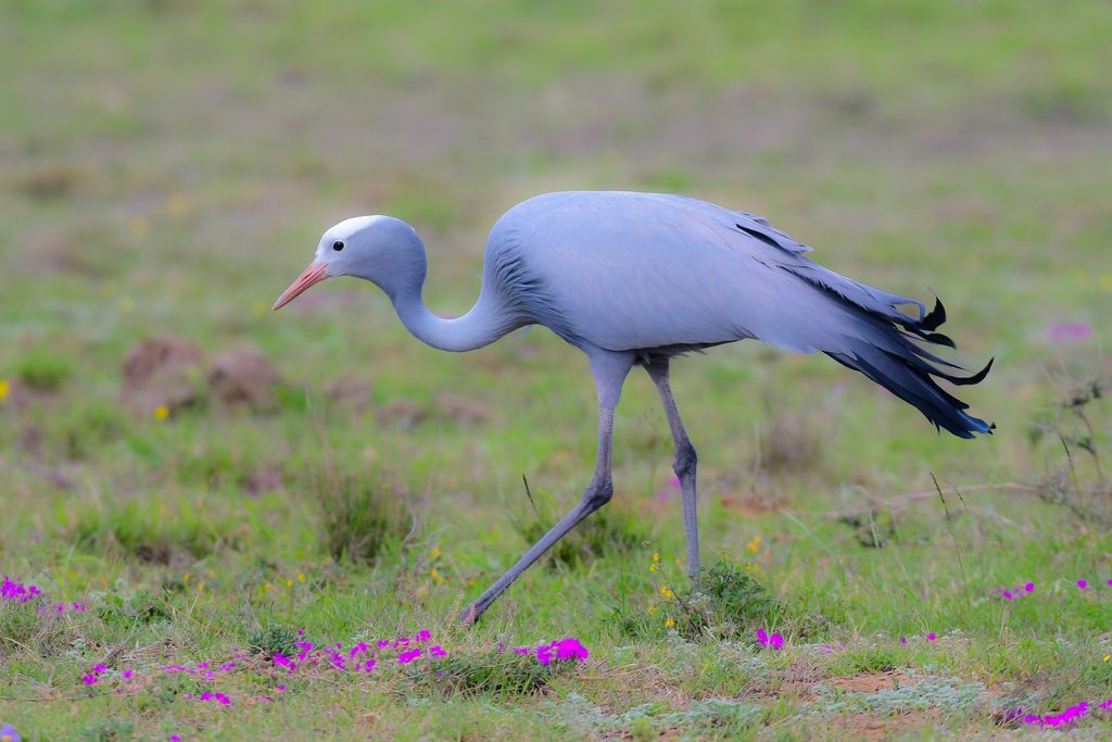
Fauna in the Free State includes large herbivores such as zebras, wildebeests, and antelope, as well as predators like cheetahs and jackals. Bird species include the Blue Crane, South Africa’s national bird. The Blue Crane is listed as vulnerable by the IUCN, mainly because its habitat is highly restricted to upland grassy plains along the southern tip of Africa.
Like all of South Africa, the Free State Province has a history shaped by indigenous cultures, colonization, and political changes.
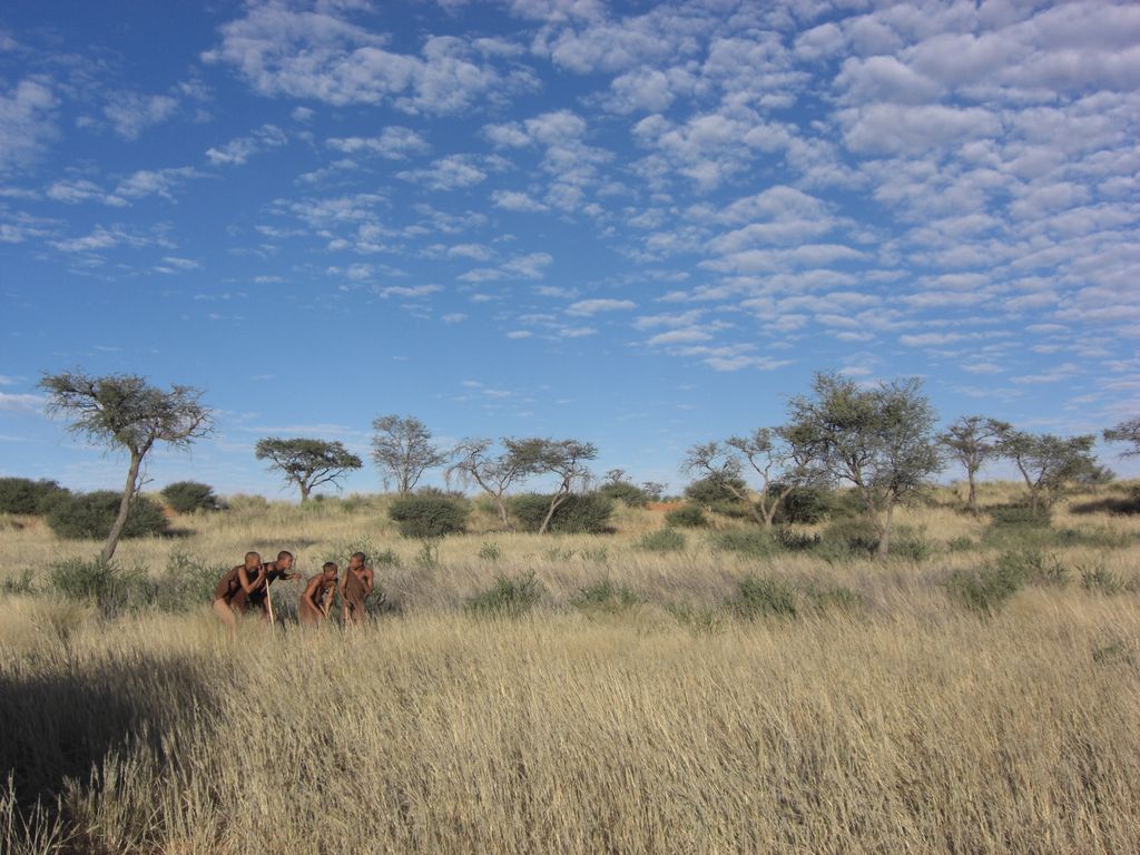
The San and Khoikhoi people, hunter-gatherers who historically inhabited vast tracts of Southern Africa, established early trade and cultural practices.
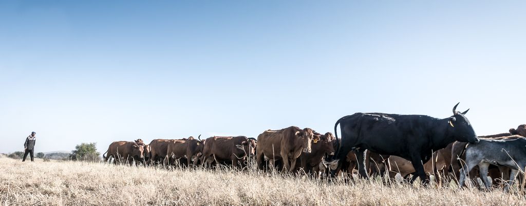
European involvement began in the 17th century with Dutch settlers, followed by British and Boer colonists in the 19th century. The Great Trek led the Boers to establish the Orange Free State in 1854 as an independent republic with an agricultural economy.
Conflicts like the Anglo-Zulu War and Anglo-Boer Wars followed. After the Second Anglo-Boer War, the Orange Free State became a British colony.
In 1910, the Free State joined the Union of South Africa, which gained sovereignty in 1961. During apartheid from 1948 to 1994, the province faced racial segregation. After apartheid ended in 1994, the Free State became one of South Africa’s nine provinces.
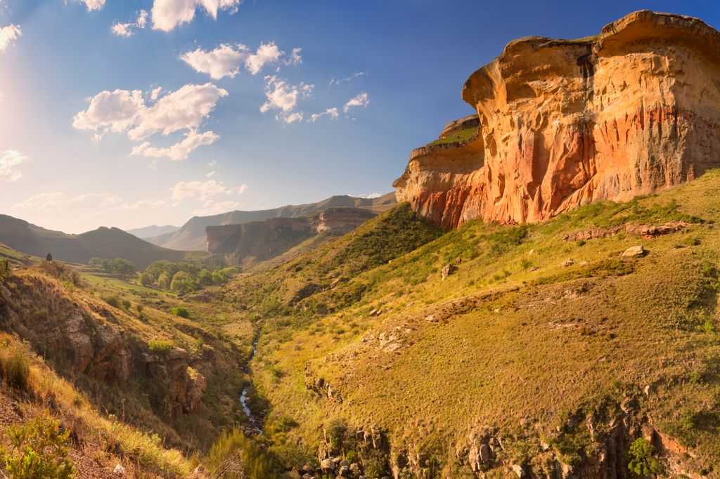
Golden Gate Highlands National Park features fabulous golden sandstone cliffs and hiking trails.
The Ribbok Hiking Trail is a challenging 28 km (17 mi) route with opportunities to see wildlife like black wildebeest, zebra, and springbok, along with rare birds like the bearded vulture and black eagle. Hikers ascend the park’s highest peak, Ribbokkop, for prime views of the craggy outcrops and rugged escarpment.
The less-demanding 9 km (5.5 mi) Wodehouse Peak Trail passes Mushroom Rock and Brandwag Buttress formations before leading up to Wodehouse Kop. Hikers with climbing experience can check out the 2.4 km (1.2 mi) Brandwag Buttress Trail, which features a steep ascent with chain assistance to the summit of Brandwag Buttress.
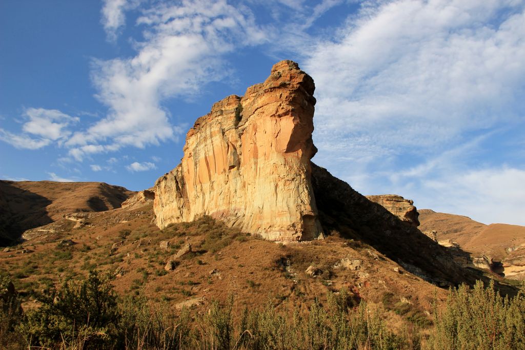
The Clarens Village Conservancy, located near the Golden Gate Highlands National Park, offers various hiking trails with easy access from Clarens. Options range from the easy 3.5 km (2 mi) Kloof and Dam Walk to the challenging 5 km (3 mi) Sandstone Contour Trail with steep climbs and views of the Maloti Mountains.
The moderate trails of the Caracal Encounter (5 km/3 mi), Route 2030 (1 km / 0.6 mi), and Sky Contour (3.5 km / 2 mi) offer the best views of the village. The 2.4 km (1.5 mi) Spruit Walk is mostly shady and traces the summer stream to Lake Clarens, the 2 km (1.2 mi) Titanic Trail climbs a larger boulder for panoramic views, and the 2.4 km (1.5 mi) Scilla Walk is best known for its blue scilla flowers in late September.
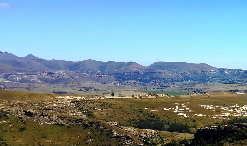
The Mafube Mountain Retreat in the eastern Free State is a private nature reserve offering a range of hiking trails. The reserve is set against colorful sandstone cliffs with views of waterfalls, rocky scrambles, and riverine vegetation. It also features authentic dinosaur footprints, clocking in at about 190 million years old.
Featuring a range of nature walks, the highlight is the 4 km (2.4 mi) Waterfall and Dinosaur Footprints Trail, which has a 288-meter (944 ft) elevation gain. Wildlife includes antelope and Serval cats.
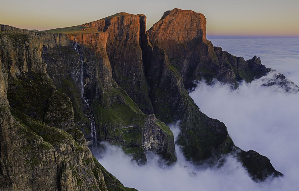
Sentinel Peak, part of the northern section of the uKhahlamba-Drakensberg, is located on the border between the Free State and KwaZulu-Natal. The 12 km (7.5 mi) hike offers some of the most dramatic scenery in South Africa, including the Amphitheatre, Devil’s Tooth, and the Inner Tower, and culminates at the top of Tugela Falls, the second-highest waterfall in the world, which plunges 948 meters (3,110 ft) into the valley below. The hike is challenging, with steep sections and chain ladders, but the vistas at the top are unparalleled.
Bloemfontein is the Free State province's capital city and one of South Africa's three capitals. The city serves as the seat of the Supreme Court of Appeal, making it the judicial capital of South Africa.
Situated within the city, Naval Hill offers panoramic views of Bloemfontein. It is home to the Franklin Game Reserve, with grazing ildlife of zebras, ostriches, and various antelope species. The area is also known for its large statue of Nelson Mandela and the digital planetarium located at the foot of the hill.
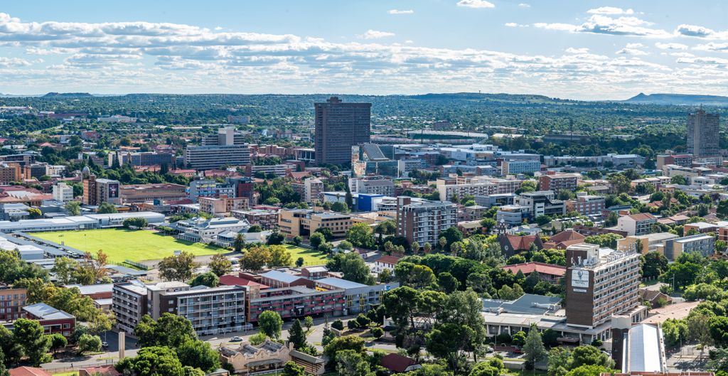
Bloemfontein is known as the City of Roses and is famous for its rose gardens. One of the prime places to view these flowers is Kings Park, which hosts the annual Bloemfontein Rose Festival.
Free State National Botanical Garden showcases the diverse plant life of the Free State province. The 28 ha (70ac) garden features walking trails and areas dedicated to indigenous flora, including a variety of aloes and other succulents.
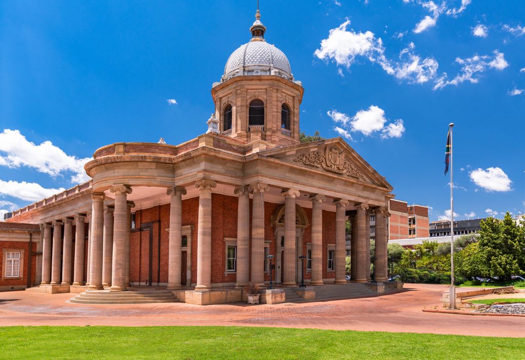
Clarens is a town at the foothills of the Maloti Mountains. It is located near the Golden Gate Highlands National Park and the Lesotho border, which makes it a popular gateway destination for visitors.
A highlight of Clarens is the Clarens Brewery, one of South Africa's first brewpubs. It offers craft beers, ciders, and gin made on-site, along with tastings and brewery tours in a relaxed outdoor seating area with mountain views.
Clarens is known as an art hub, home to various art galleries, like Blou Donki Gallery and Addy & Hoyle Art Gallery, located around the town’s center, The Square.
While not in Clarens, the Afriski Mountain Resort in Lesotho is about a two-hour drive away. It is one of only two ski resorts in Southern Africa (the other being Tiffindell in South Africa).
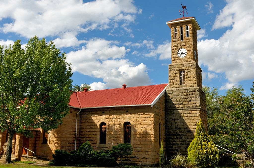
Explore Free State with the PeakVisor 3D Map and identify its summits.

