Scan the QR code and open PeakVisor on your phone
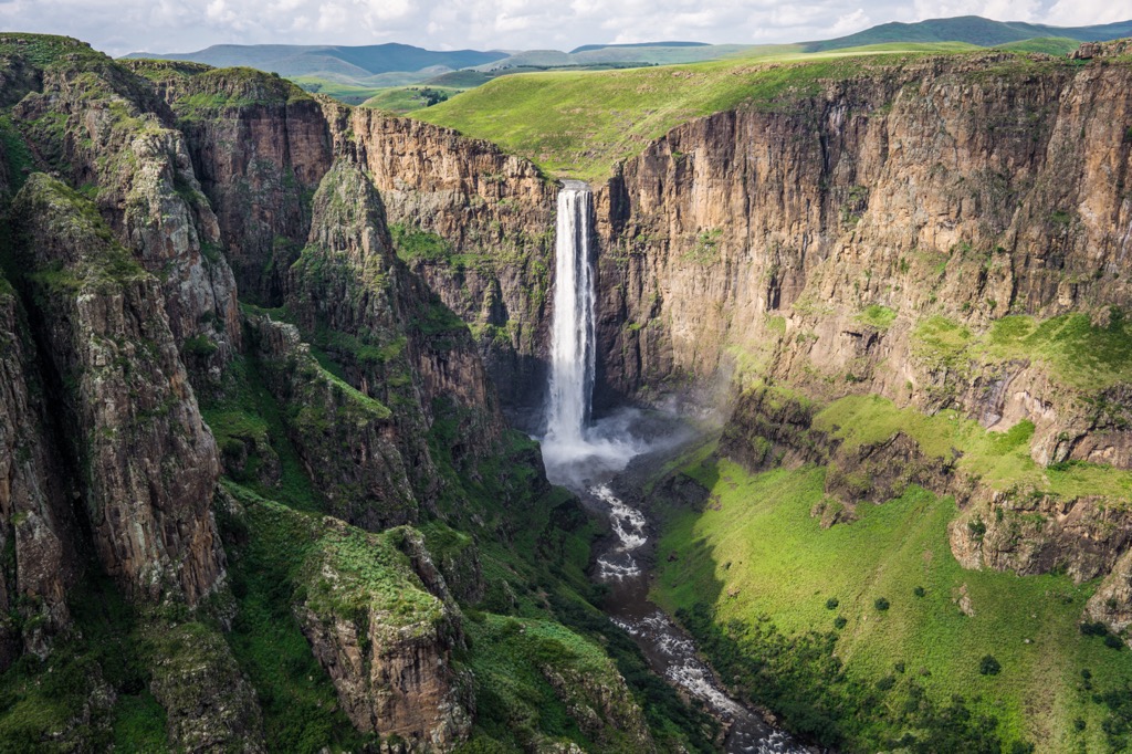
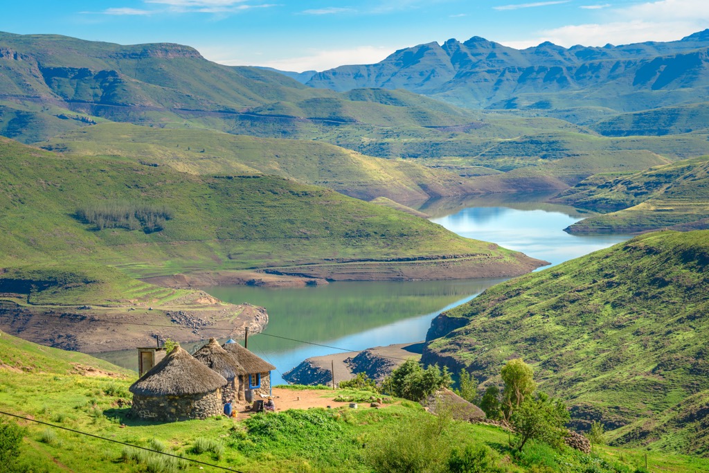
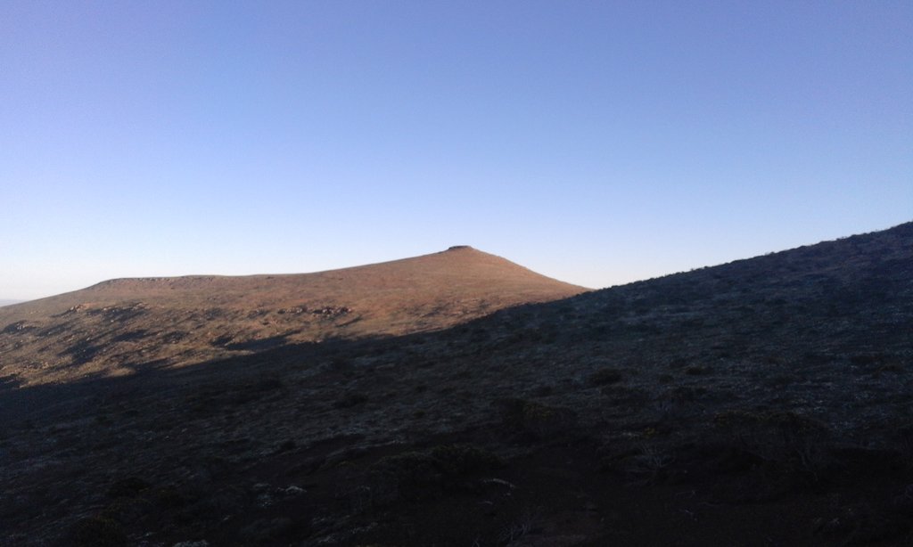
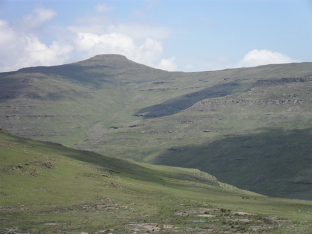
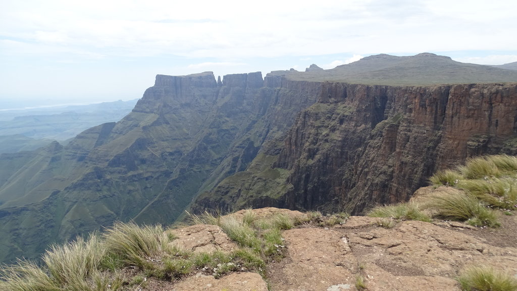
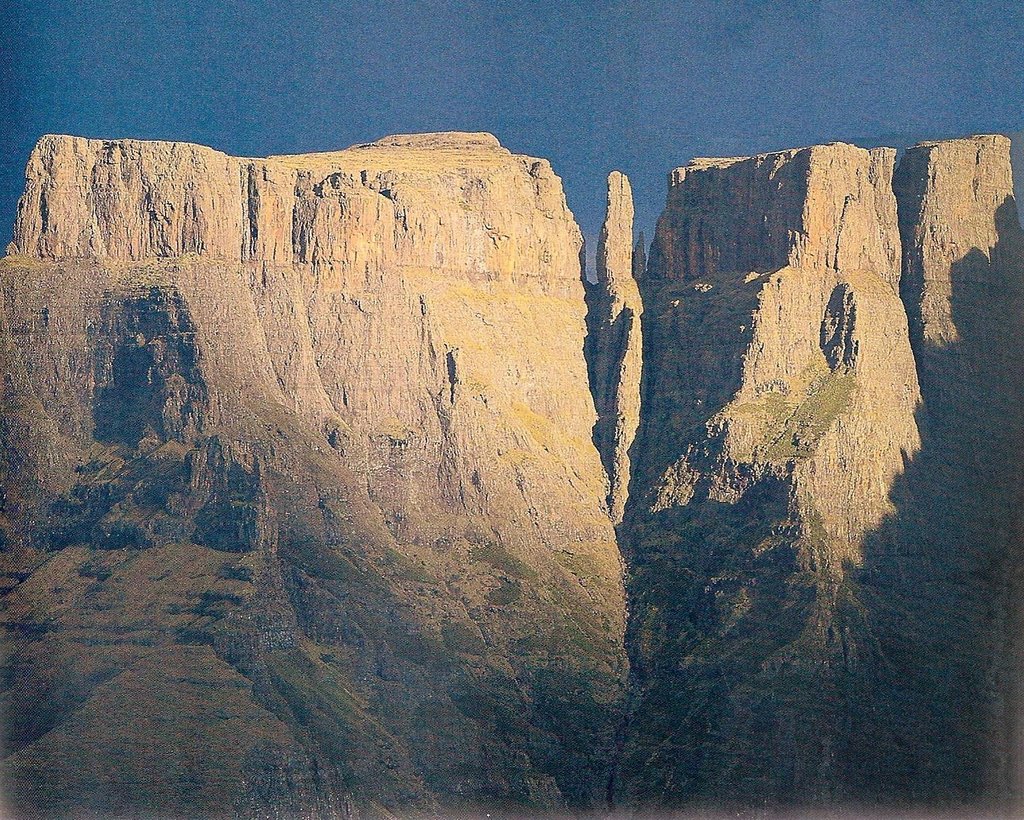
Lesotho is a small enclave country located entirely within the Republic of South Africa in the south of the continent. The main feature of Lesotho mountains is the Drakensberg Range, which covers its territory but also the eastern part of South Africa. This puts Lesotho in the top 10 most mountainous countries in the world both in terms of average altitude (5th place, 2,161 m / 7,090 ft) and percentage of its territory covered by mountains (4th place, 90.5%). In addition, the highest and the most prominent mountain of Lesotho, Thabana Ntlenyana (3,482 m / 11,423 ft), is also the highest peak in all of southern Africa. In total there are 338 named mountains in Lesotho.