Get PeakVisor App
Sign In
Search by GPS coordinates
- Latitude
- ° ' ''
- Longitude
- ° ' ''
- Units of Length

Yes
Cancel
❤ Wishlist ×
Choose
Delete
The Eastern Cape is one of South Africa’s nine provinces, known for its coastal plains, rugged mountains, and fertile inland valleys. There are 2032 named mountains in the Eastern Cape, the highest of which is Eastern Cape High Point, measuring 3,026 meters (9,928 ft). The most prominent mountain is Cockscomb, at 1,768 meters (5,801 ft).
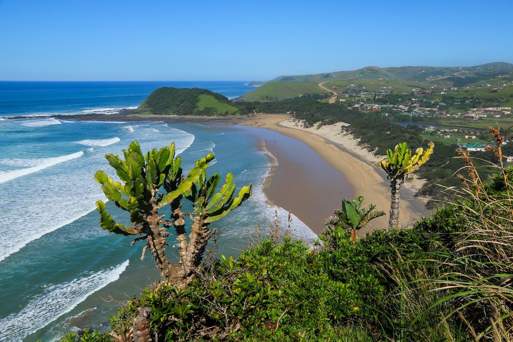
The Western Cape borders the Eastern Cape to the west, the Northern Cape to the northwest, the Free State and Lesotho to the north, KwaZulu-Natal to the northeast, and the Indian Ocean to the southeast and south. The Eastern Cape stretches approximately 800 km (497 mi) along the southeastern coast, and its defining features include beaches, cliffs, estuaries, and protected bays.
The province is predominantly mountainous, including the southern spur of the Drakensberg. It descends southward from the Highveld plateau of southern Africa to form a relatively narrow coastal plain along the Indian Ocean.
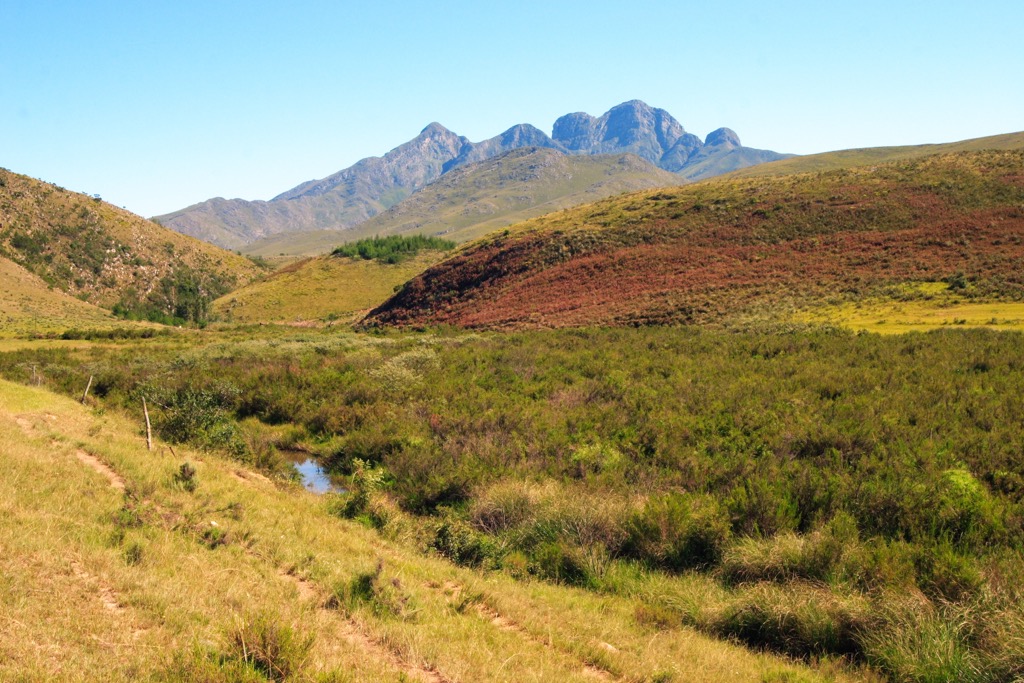
The Eastern Cape is intersected by major rivers such as the Great Fish River, Sundays River, and Gamtoos River. These rivers play vital roles in agriculture and provide water for urban centers and rural communities throughout the province.
The climate in the Eastern Cape varies significantly by location. Swaths of subtropical rainforest exist along the coast, although most of the province consists of semi-arid Karoo. Summers are hot throughout the region, although mountainous areas in the north are milder, with the highest elevations receiving occasional winter snowfall. Annual precipitation ranges from 350 mm (14 in) near Graaff-Reinet in the west to more than 900 mm (35 in) along the coastal areas near East London in the east.
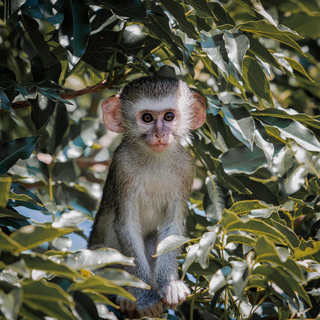
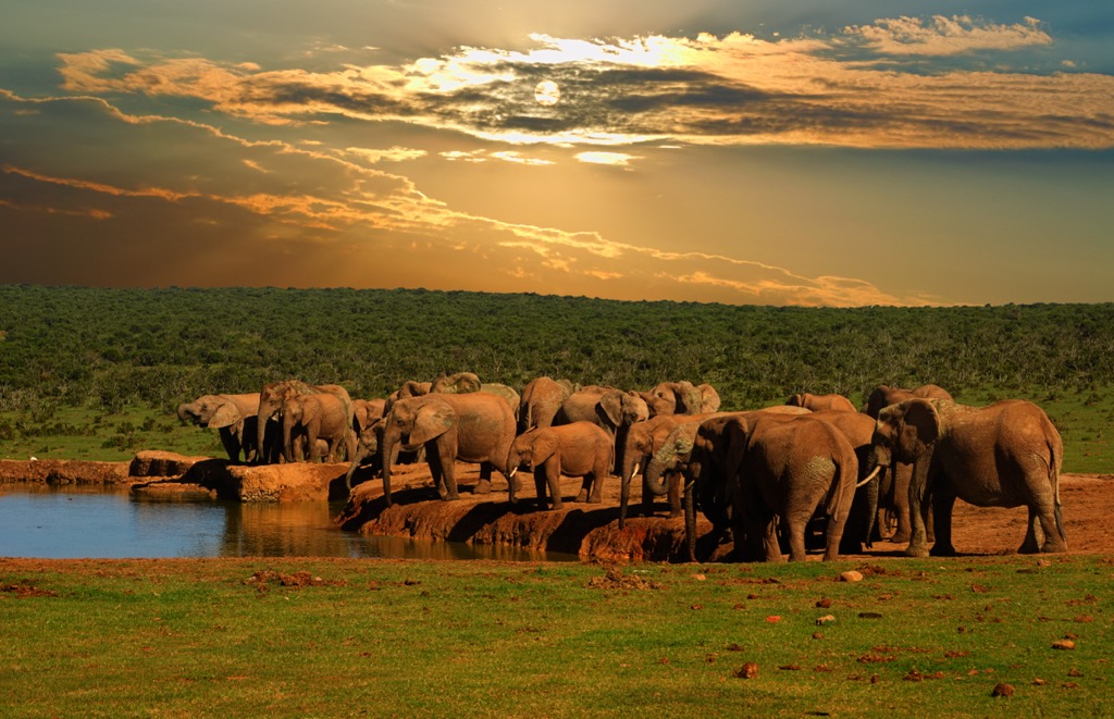
The Eastern Cape features several national parks, including Addo Elephant National Park, Tsitsikamma National Park, and the Baviaanskloof Mega Reserve. These parks protect forests, grasslands, and wetlands, as well as many endangered megafauna.
Beyond its natural attractions, the Eastern Cape is of significant cultural and historical importance to South Africa. It is the birthplace of many prominent political figures, such as Nelson Mandela and Steve Biko, two crucial figures in the fight against apartheid.
Geomorphologically, the Eastern Cape ranges from rugged mountains to rolling hills and plains influenced by rivers.
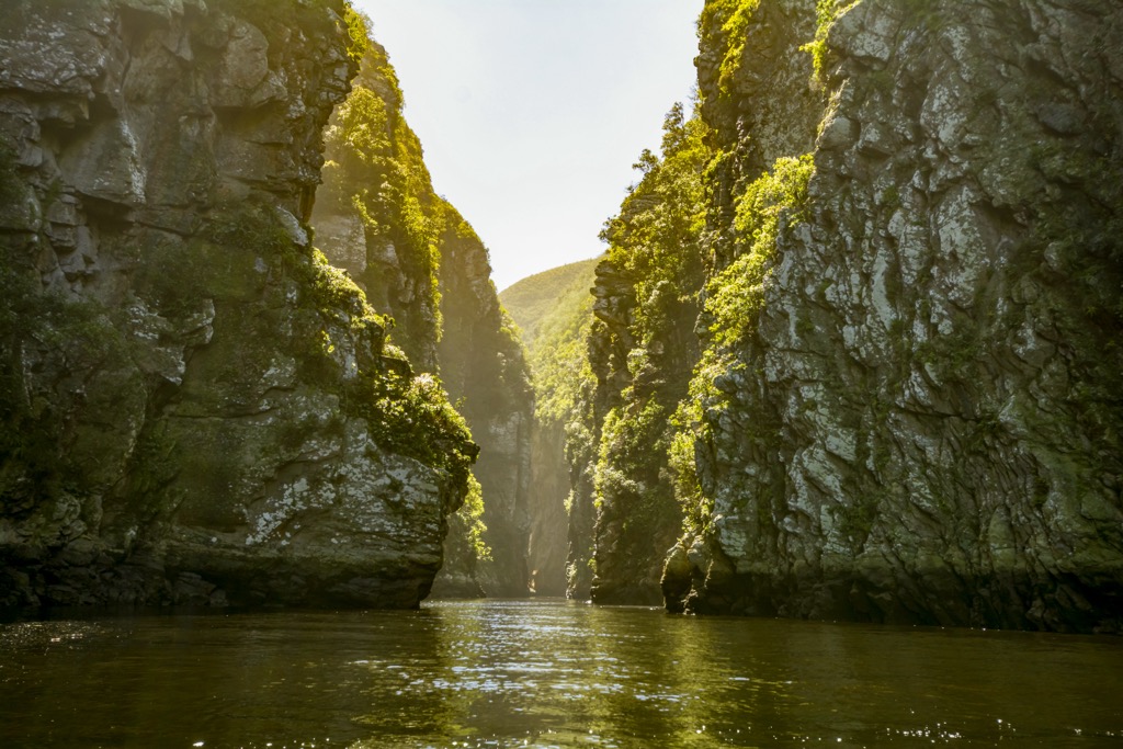
The province features a diverse geological history shaped by various rock formations. Key formations include the Karoo Supergroup, particularly the Cradock Series, which comprises sedimentary rocks like sandstones, shales, and conglomerates known for coal deposits. In the east, the Table Mountain Group comprises sandstones, siltstones, and shales.
The region holds some of South Africa's oldest rocks from the Paleoproterozoic era and shows evidence of tectonic events that formed the Cape Fold Belt and created its distinctive landscapes.
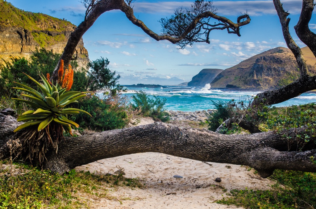
Coastal areas feature dunes, estuaries, and rocky shores shaped by marine processes.
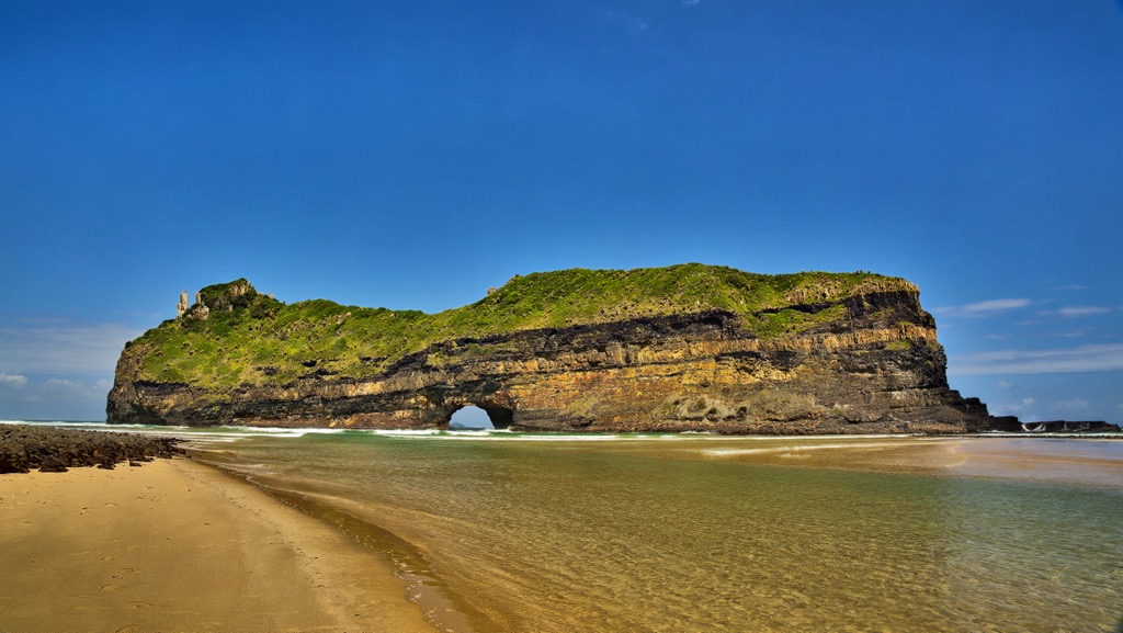
The Eastern Cape's coastal plains, mountains, and savannahs support diverse flora and fauna. Fynbos dominates the southern coast with its hard-leaved shrubs like proteas and ericas. Indigenous forests in wetter areas host towering trees, while inland savannahs support large ungulate populations, such as giraffes and zebra. The region is home to the “Big Five,” referring to the most challenging animals to hunt in historical times. These animals are the lion, leopard, rhinoceros, elephant, and African buffalo.
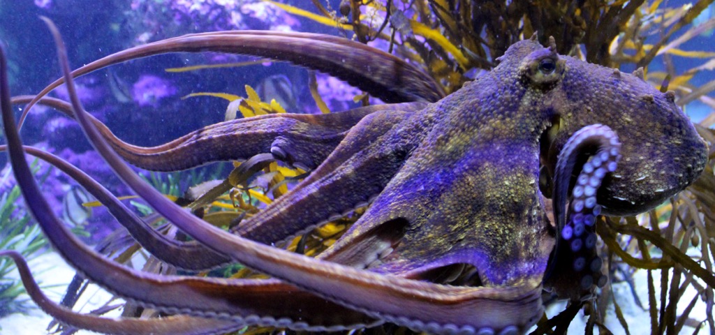
Coastal dune vegetation stabilizes dunes and supports wildlife, including 600 bird species. Inter-tidal zones are host to diverse marine life, such as octopi. Conservation efforts are crucial to protect habitats from threats like poaching, ensuring the region remains a significant destination for wildlife enthusiasts and conservationists.
The Eastern Cape's history is defined by millennia of indigenous habitation, starting with the Khoisan and later influenced by Bantu migrations around 2,000 years ago. European settlement began in the 17th century, leading to conflicts like the Frontier Wars with the Xhosa and other indigenous groups resisting European expansion. These conflicts were pivotal in shaping the region's political landscape and later resistance against apartheid.
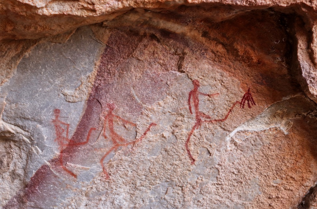
During the 19th century, the Eastern Cape was a focal point of the Xhosa Wars, including significant conflicts such as the Sixth Xhosa War (1834-1836) and the Ninth Xhosa War (1877-1879). These wars left lasting impacts on the region, influencing subsequent resistance movements against apartheid. In the 20th century, apartheid policies exacerbated social and economic disparities in the Eastern Cape, contributing to widespread unrest.
The end of apartheid in the early 1990s marked a transformative period for the Eastern Cape and South Africa, ushering in a new era of democracy. Today, the Eastern Cape remains a vibrant tapestry of cultural diversity, reflecting its rich heritage shaped by indigenous traditions, Bantu migrations, colonial history, and the struggle for equality and justice.
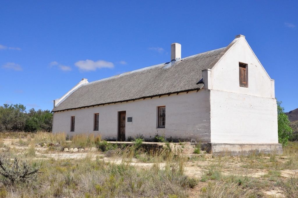
The Amathole Hiking Trail is a 100 km (62 mi) route, considered one of South Africa’s most arduous hikes. The trail starts in the village of Maden Dam, near King William’s Town, weaving through the lush, rugged landscapes of the Amathole Mountains, and ends in Hogsback, renowned for its scenic beauty and mystical atmosphere. The Amathole Hiking Trail typically takes six days to complete, with hikers covering a distance of 15 to 20 km (9 to 12 mi) per day.
The trail meanders through thick indigenous forests, home to ancient yellowwood trees, towering ferns, and a rich diversity of plant species. Hikers encounter several waterfalls, including the spectacular Madonna and Child Falls and the Kettlespout Falls. The trail offers views from high-elevation points from Cata and The Hogsback, showcasing the vast expanse of the Amathole Mountains and the surrounding valleys.
Hikers sleep in designated mountain huts instead of tents. If you plan on undertaking this hike, you must book in advance to reserve a spot in the huts. Huts include showers but not food, so you’ll still need to carry a fairly hefty pack with cooking gear and food for the six days. For more information, check out this detailed blog post on the trail.
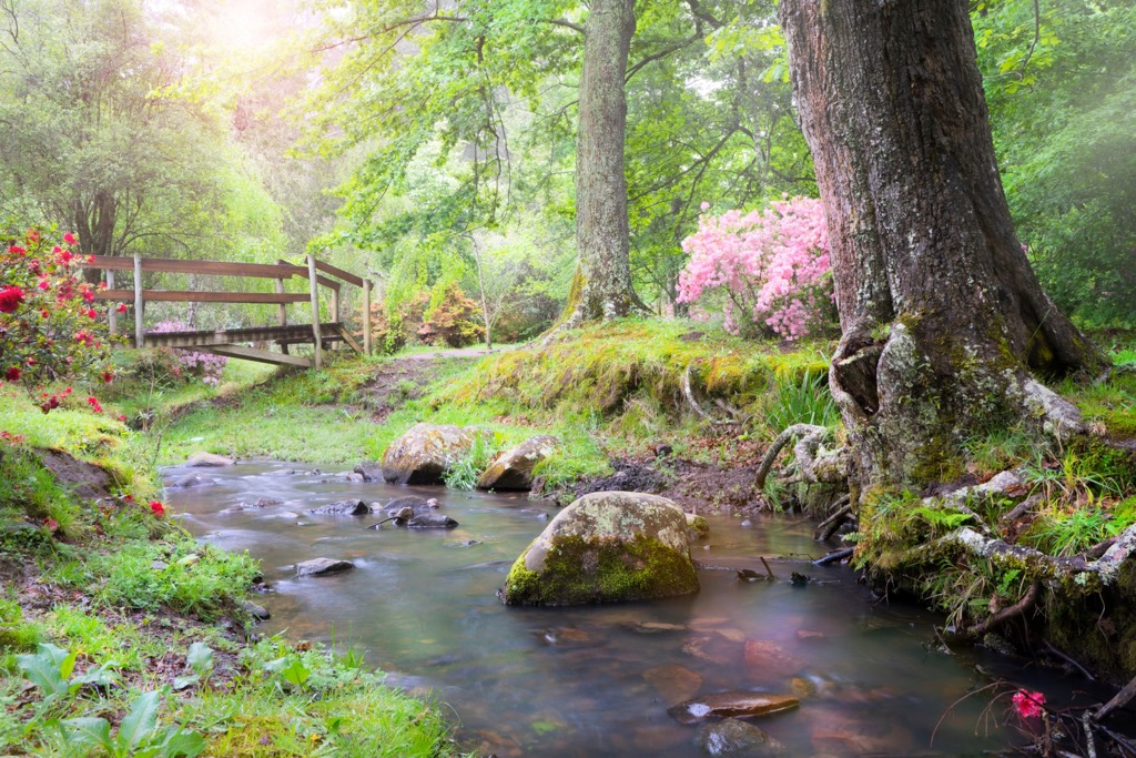
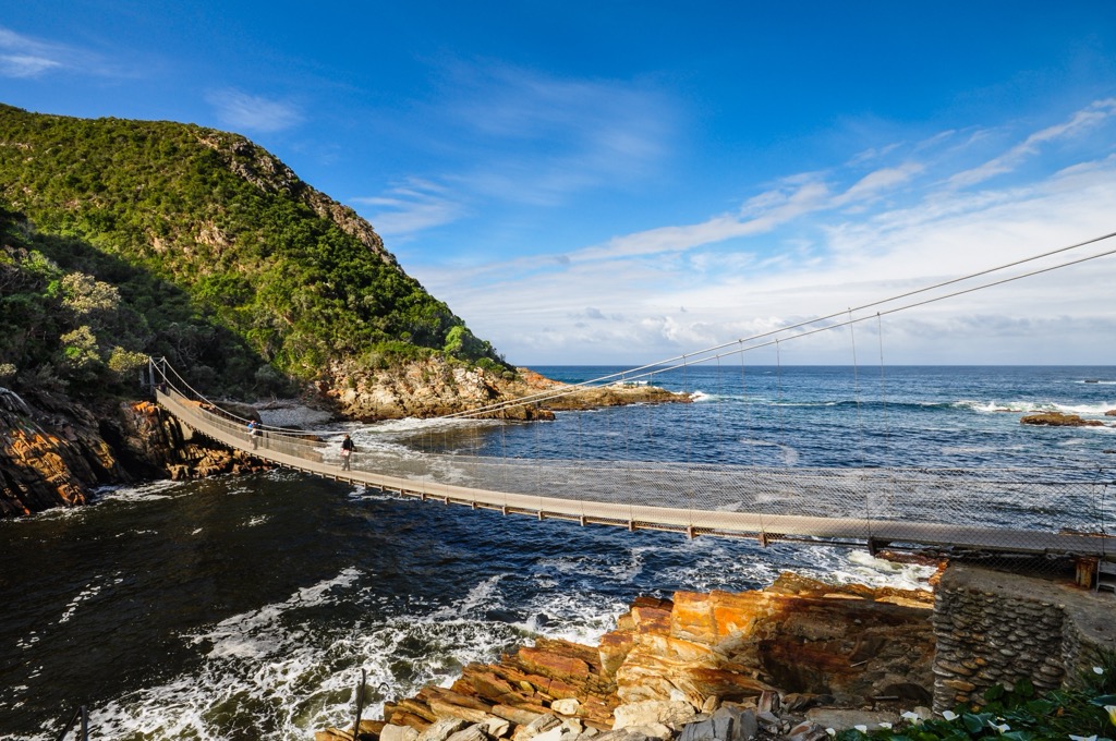
The Otter Trail is a 45 km (28 mi) trek along South Africa's southeastern coast in the Garden Route National Park. The trail begins at Storms River Mouth and ends at Nature's Valley. Along the way, hikers have spectacular coastal views, white-sand beaches, dramatic cliffs, and lush forests.
The trail is rated easy to moderate. There are steep inclines and declines, but short daily distances allow ample rest time to appreciate and explore the surrounding nature. Well-marked paths guide hikers through river crossings, and four overnight huts provide accommodations.
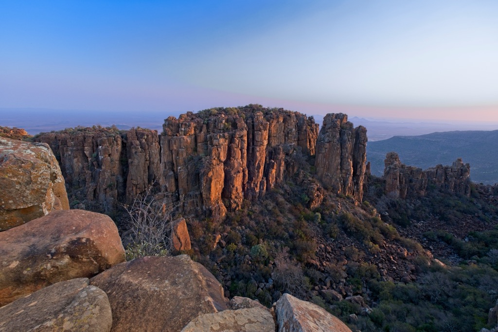
The Valley of Desolation in Camdeboo National Park near Graaff-Reinet offers hiking trails amidst unique geological formations. The main Valley of Desolation Trail is a 7 km (4 mi) round trip, starting from the park's entrance and leading through Karoo vegetation to dramatic dolerite columns. This moderate hike culminates at a viewpoint with expansive vistas of the valley. For more adventurous hikers, the Klipspringer Pass Trail extends a 13 km (8 mi) round trip, with challenging ascents and additional viewpoints.
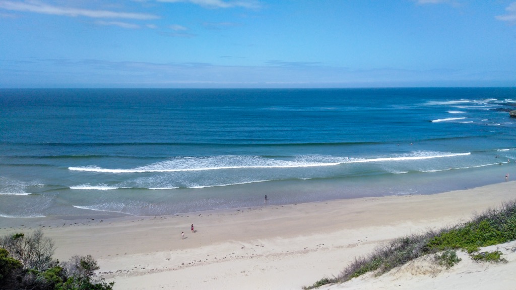
The Strandloper Trail spans 57 km (35 mi) along the Indian Ocean coastline. Starting from Cape Morgan in Kei Mouth and finishing at Gonubie in East London, this hiking route traverses coastal forests, wetlands, estuaries, and dune systems, each supporting a variety of flora and fauna. Hikers experience views of rugged cliffs, sandy beaches, and rocky shores. The terrain varies from easy beach walking to more strenuous sections over rocky outcrops and dense vegetation.
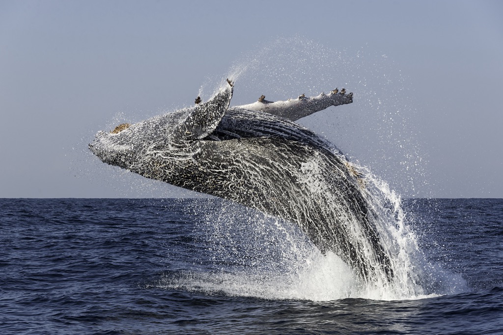
Wildlife sightings are common, including seals, dolphins, numerous bird species, and, during seasonal migrations, Southern Right and Humpback whales.
Port Elizabeth, often called PE, is a coastal city in the Eastern Cape. Situated on Nelson Mandela Bay, it benefits from a temperate coastal climate of mild winters and warm summers.
One of Port Elizabeth's notable features is its variety of stunning beaches. Hobie Beach, Kings Beach, and Sardinia Bay are ideal for water sports, surfing, and relaxation.
Nearby, Addo Elephant National Park is famous for its diverse wildlife and namesake elephants. Visitors can view elephants, lions, and rhinos on game drives and guided walks. Kragga Kamma Game Park, closer to the city, offers an intimate safari experience with giraffes, cheetahs, and other indigenous species.
Outdoor enthusiasts can enjoy hiking in Baakens Valley and Groendal Wilderness Area, offering scenic trails and breathtaking views. Nelson Mandela Bay is perfect for water sports like sailing, snorkeling, and scuba diving.
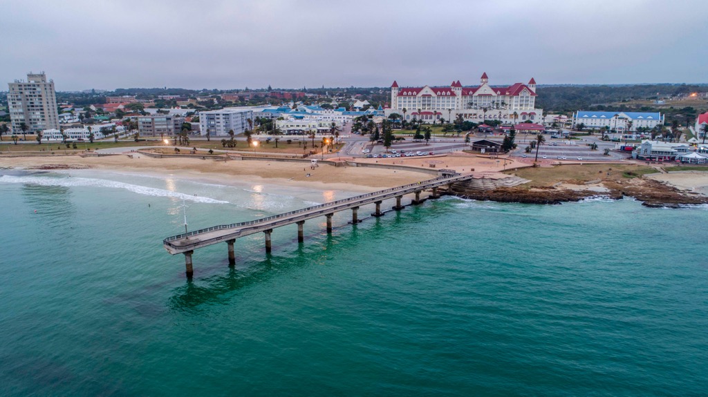
East London, also known as eMonti, is a city on South Africa's southeastern coast. It stretches along the Indian Ocean coast between the Buffalo and Nahoon rivers. Notably, it hosts South Africa’s only river port.
The beaches in East London are a major highlight, with Nahoon Reef and Gonubie Beach being popular for surfing, kayaking, and canoeing.
Nature enthusiasts can explore the East London Coast Nature Reserve, which features mangroves, dunes, and estuaries ideal for birdwatching and nature walks. The Nahoon Estuary Nature Reserve offers walking trails through coastal forests and along the Nahoon River. Hiking opportunities abound with trails like those at Emerald Vale Brewery and Nahoon Point Nature Reserve.
Explore Eastern Cape with the PeakVisor 3D Map and identify its summits.

