Get PeakVisor App
Sign In
Search by GPS coordinates
- Latitude
- ° ' ''
- Longitude
- ° ' ''
- Units of Length

Yes
Cancel
❤ Wishlist ×
Choose
Delete
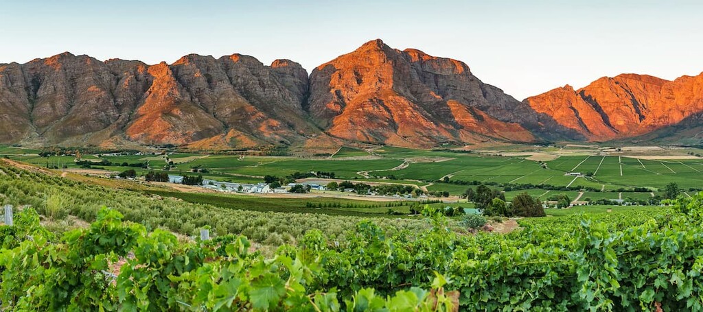
The Western Cape is one of South Africa's nine provinces, renowned for its diverse landscapes and rich biodiversity. There are 2918 named mountains in the Western Cape. Seweweekspoortpiek (2,325 m / 7,628 ft) is the highest peak, while Dutoitspiek is the most prominent.
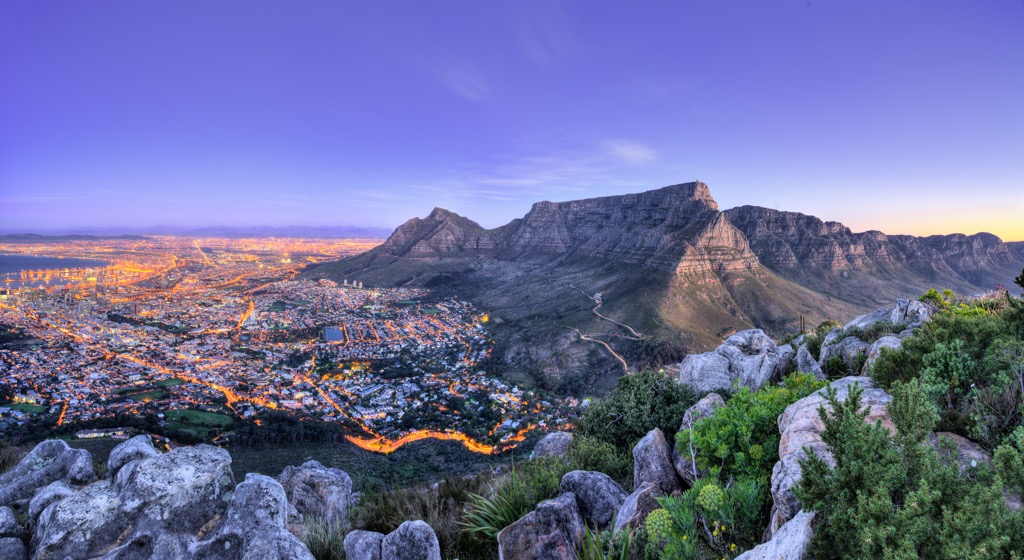
The Western Cape, located on South Africa's southwestern coast, stretches approximately 400 km (250 mi) northward along the Atlantic Ocean and 500 km (300 mi) eastward along the Southern Indian Ocean. It shares borders with the Northern Cape to the north and the Eastern Cape to the east. Cape Town serves as both the provincial capital and the legislative capital of the country. Other significant cities in the province include Stellenbosch, George, and Paarl.
The topography features mountain ranges like the Cape Fold Mountains, with notable peaks such as Table Mountain and the semi-arid Great Karoo in the northeast. Coastal plains, including the fertile Cape Flats, extend inland from the Atlantic and Indian Ocean shorelines. The province's coastline is split between the rugged Atlantic Ocean to the west and the warmer waters of the Indian Ocean to the south and southeast.
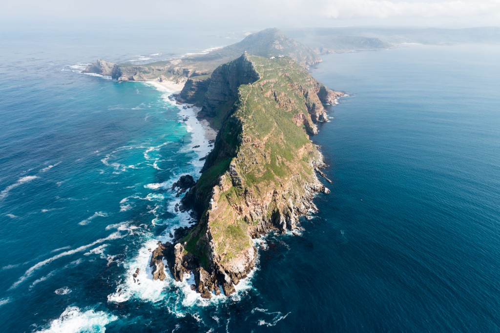
Geographic highlights include the Cape Peninsula, home to Table Mountain and Cape Point, and the Garden Route, a scenic area with forests and beaches. The Boland and Cape Winelands regions are famous for vineyards and historic towns like Stellenbosch and Franschhoek.
The Western Cape experiences a Mediterranean climate with wet winters and dry summers. Coastal areas, like Cape Town and the Garden Route, experience mild, wet winters with highs of 18°C (64°F) and warm, dry summers of 27°C (81°F). Conversely, the interior, including the Karoo, is more arid with significant temperature variations.
As part of the Cape Floristic Region, the Western Cape is renowned for its biodiversity, boasting unique vegetation types. Fynbos is predominant, with over 9,000 plant species, complemented by renosterveld and the Succulent Karoo.
The Western Cape features a diverse geological landscape shaped over millions of years. Its geological history spans back to the Precambrian era, forming rocks like the metamorphosed Malmesbury Group. During the Paleozoic era, the Cape Fold Belt arose from tectonic collisions, folding sedimentary layers into prominent mountain ranges like Table Mountain, composed of resilient Table Mountain Sandstone. The region also boasts ancient metamorphic rocks from the Malmesbury Group and significant granite intrusions like Paarl Rock and Stellenbosch Granite.
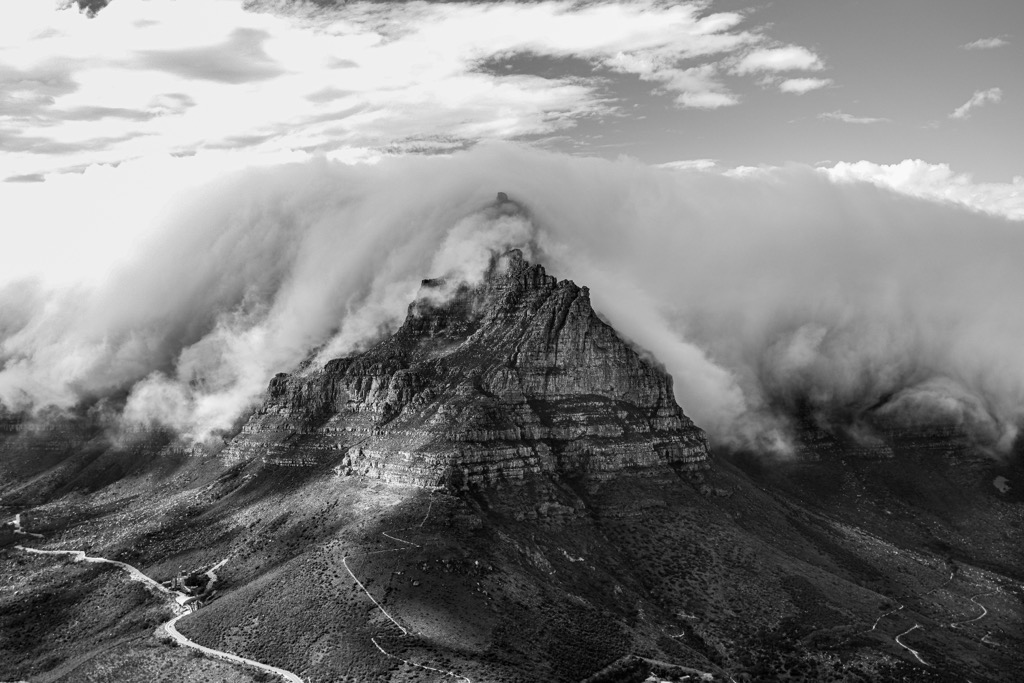
Although the Western Cape's mineral resources are modest, including clay and limestone, its coastline showcases varied features such as rugged cliffs and sandy beaches.
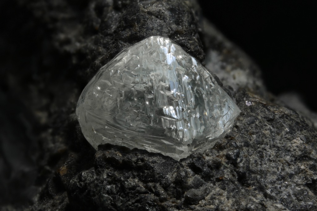
Paleontologically, the Karoo Supergroup preserves fossils of early terrestrial life, offering insights into evolutionary history. It was deposited over the Cape Supergroup about 310 million years ago and consists mainly of shale, sandstone, and carbon deposits like coal. Some of these deposits have become extremely compacted over time, creating the diamonds that are one of South Africa’s economic engines.
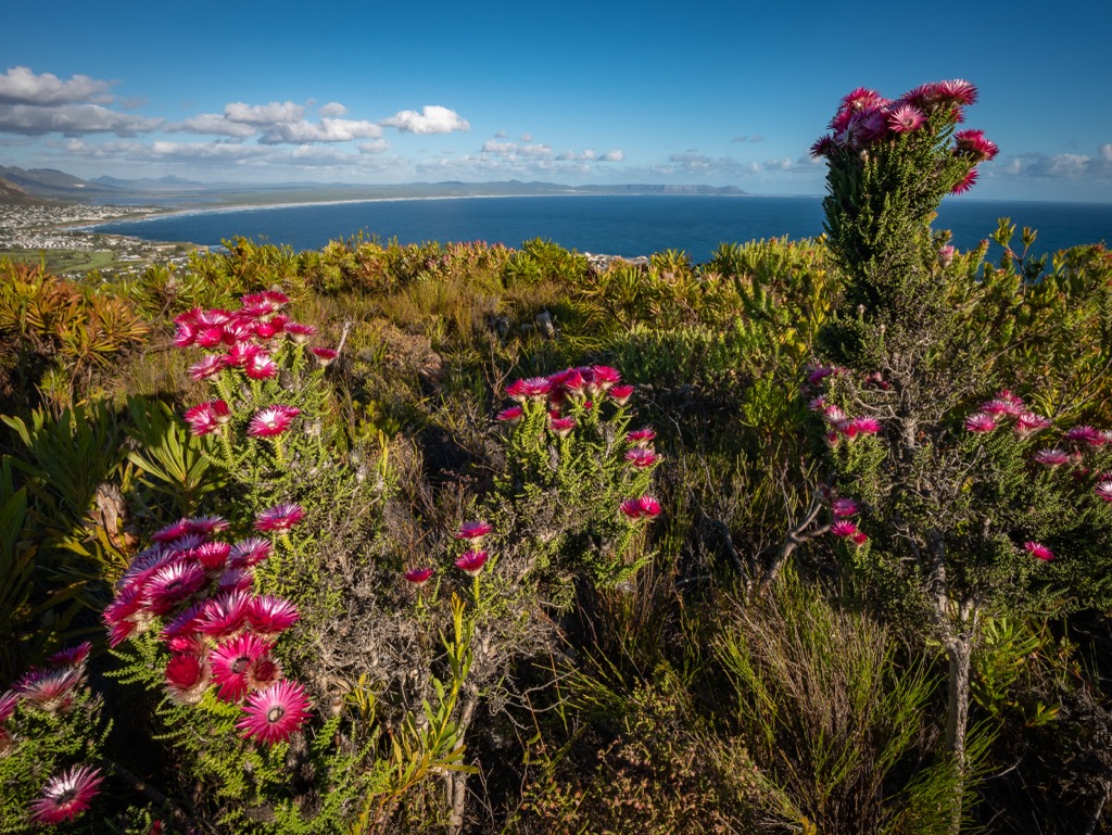
One of the world’s foremost biodiversity hotspots is the Fynbos ecoregion, which translates as ‘fine bush,’ an intricate mix of shrubs, grasses, and flowering plants. The Fynbos ecoregion, part of the Cape Floral Kingdom, is specific to South Africa, particularly the Western Cape. A prominent species in the park is the 2-meter (6.5 ft) tall Erica canaliculata that displays charming pink flowers. This biome features shrublands, heathlands, and proteas adapted to periodic fires.
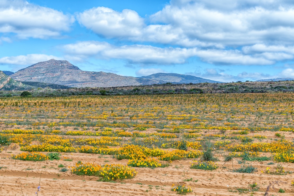
The Succulent Karoo biome, located in the northwestern parts, is dominated by succulent plants and seasonal wildflowers. Scattered pockets of forests and thickets, primarily along the southern coast, feature evergreen forests with rich flora and fauna, including several endemic species.
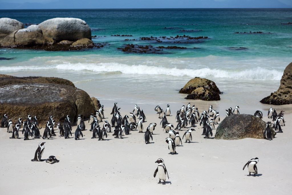
Marine and coastal ecosystems in the Western Cape are equally diverse. Sandy beaches, rocky shores, and estuaries are home to a wealth of marine life, including fish, marine mammals, and seabirds.
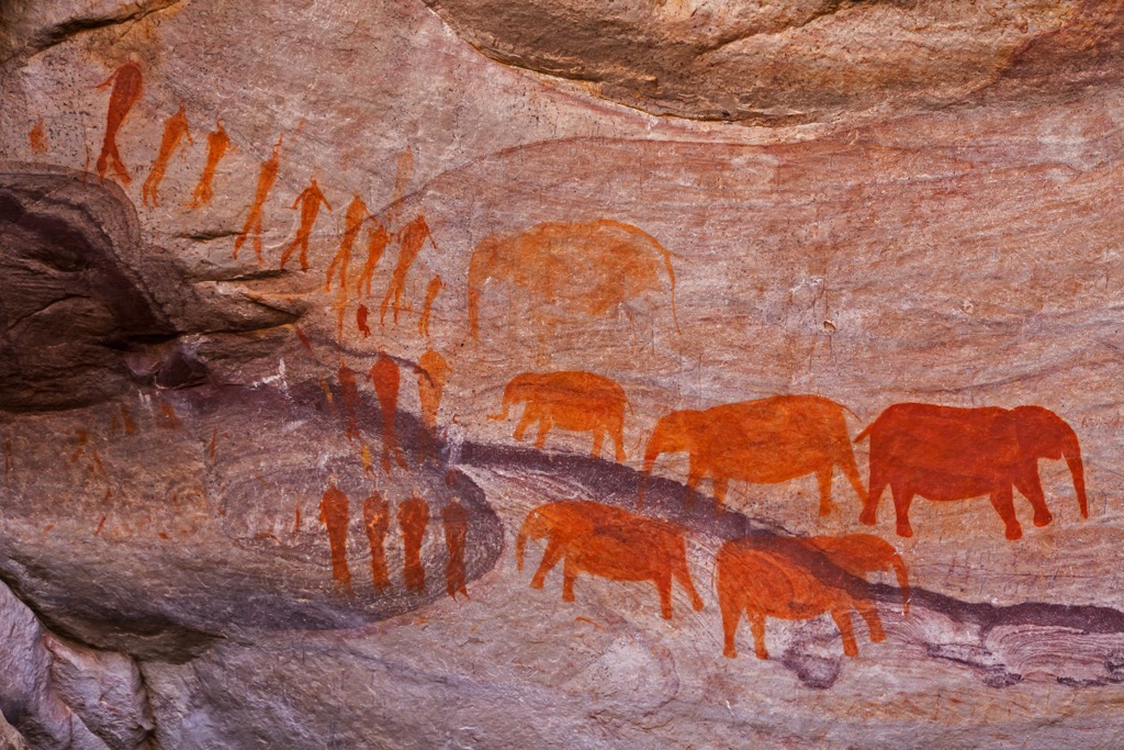
The Western Cape has a diverse human history marked by indigenous cultures, European colonization, and social transformation. The San and Khoikhoi were the earliest known inhabitants, with archaeological evidence like rock art and stone tools indicating their presence for thousands of years.
Portuguese explorer Bartolomeu Dias arrived in the region in 1488, and in 1652, the Dutch East India Company, led by Jan van Riebeeck, established a settlement at the Cape of Good Hope. This marked the beginning of European colonization, which displaced indigenous communities and introduced new crops, livestock, and enslaved people.
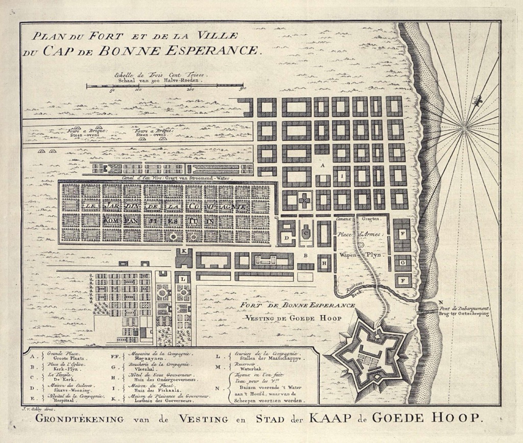
The British took control of the Cape Colony in 1795. British rule brought significant changes, including the abolition of slavery in 1834. The discovery of diamonds and gold in South Africa spurred economic development, and Cape Town grew as a central port. Segregation policies laid the groundwork for apartheid, formalized in 1948, leading to racial discrimination and disenfranchisement.
Under apartheid, racial segregation laws forced non-white communities out of designated white areas. The Western Cape became a center for anti-apartheid activism. The end of apartheid in 1994 brought democratic governance and efforts to address social and economic disparities, leading to reconciliation and reconstruction.
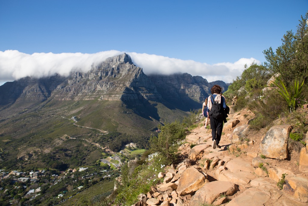
Lion’s Head is part of Table Mountain National Park and lies between Signal Hill and Table Mountain. The trail begins at Kloof Nek, only a few minutes from the city center, and spans approximately 5 km (3 mi), with an elevation gain of 369 meters (1,211 ft). The hike comprises three distinctive sections: an initially steep gravel path, followed by wide steps transitioning from gravel to rocks, culminating in a challenging ascent featuring ladders, staples, and chains leading to the summit.
While Lion’s Head is generally considered a moderately strenuous hike, those not accustomed to regular exercise may find the initial uphill climb and rock scrambling demanding. The panoramic views from Lion’s Head overlook Camp’s Bay, Sea Point, the Cape Peninsula, and the hills of Table Mountain, Signal Hill, and the Twelve Apostles.
Located along South Africa's picturesque coastline, the Otter Trail traverses 43 km (27 mi) through dense forests, rugged cliffs, glorious sandy beaches, and rocky outcrops. It is revered as one of the world’s most scenic and challenging hiking trails and is a bucket list item for experienced hikers.
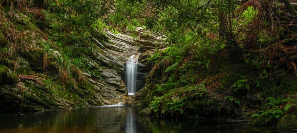
Breathtaking vistas, natural flora, and diverse wildlife adorn this five-day coastal route. From the starting point at Storms River Mouth, you’ll cross the suspension bridge into Tsitsikamma Forest, thriving with ancient trees and indigenous plant species. The route then meanders down the coast, crossing beautiful waterfalls like the multi-tiered Tsitsikamma Falls.
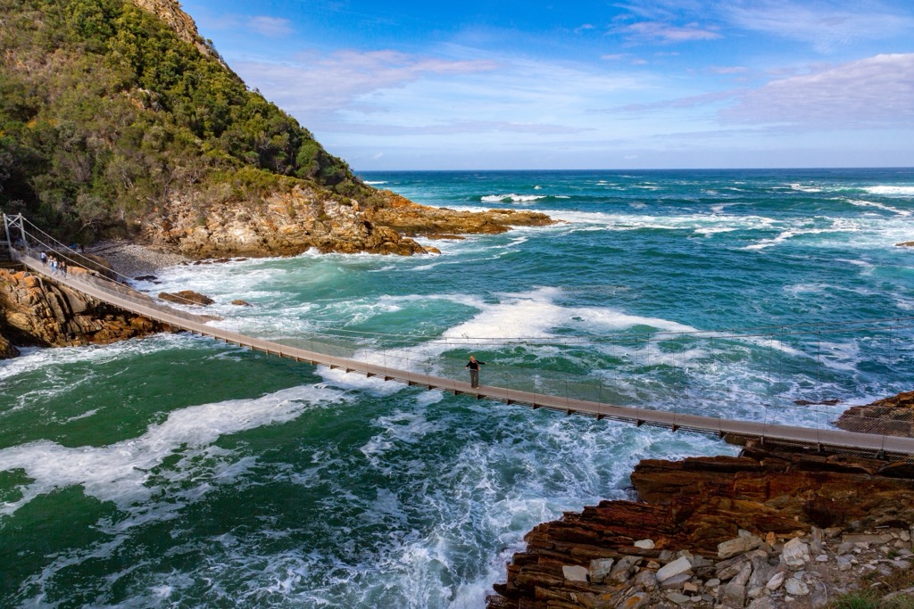
The second day of trekking involves scaling and descending steep quartz outcrops and crossing the waist-high Kleinbosh River. A similar journey awaits the next day as you climb and gently descend the rocky coastline and cross the wide Elandbos and Lottering rivers, passing untouched and delightfully secluded beaches. These swimming sessions provide rewards and motivation to continue onward.
The trail's longest and most strenuous section encompasses landscapes ranging from humid Afromontane forests to sublime coastlines teeming with rock pools, anemones, colorful fish, and rugged ridgelines showcasing dazzling Fynbos. With some luck and a keen eye, you may spot an octopus lurking in the tidal pools. Prepare for a final river crossing across the fierce Bloukrans River.
The final day of the hike leads you to one of the trail’s highest points, from where you’ll reflect on the previous days’ trekking and take in the stunning coastal views. Descend the coastal hills through misty forests before arriving at Nature’s Valley, the trail’s end.
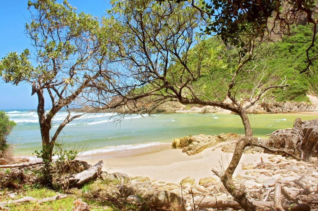
The Wolfberg Arch Trail in the Cederberg Wilderness Area is a 16 km (10 mi) hike with an elevation gain of about 800 meters (2,625 ft), typically taking 6 to 8 hours to complete. Renowned for its dramatic rock formations and ancient San rock art, the trail features the iconic Wolfberg Arch, a towering 15-meter (49 ft) high rock arch that offers stunning views. The arch is set against the red sandstone landscape and evokes an otherworldly terrain likened to Mars. This trail also includes passing through the Wolfberg Cracks, narrow rock fissures that require light scrambling.
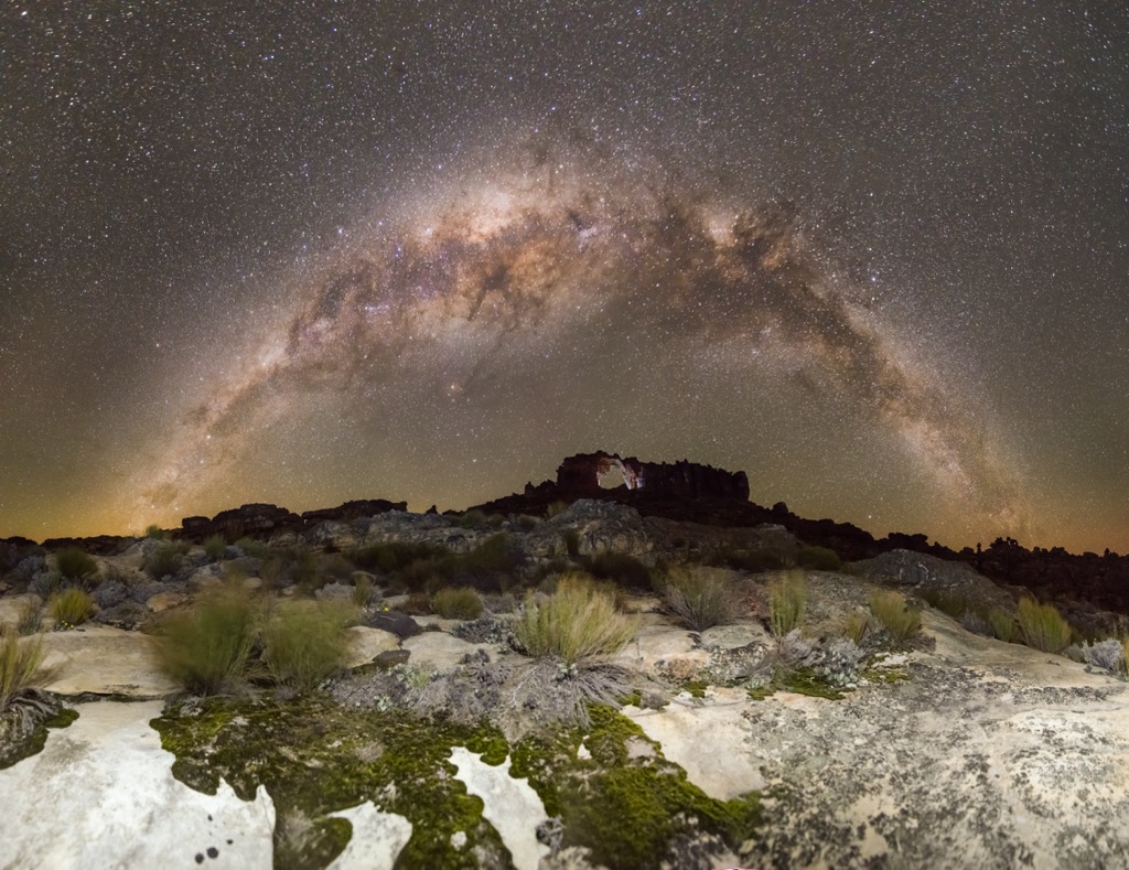
The Tierberg Hiking Trail in the Swartberg Nature Reserve spans approximately 12 km (7.4 miles). Starting at the Gamkaskloof campsite, the trail winds through diverse terrain, including rocky sections and loose gravel. While challenging, it rewards hikers with spectacular 360-degree views of the Klein Karoo’s valleys and peaks, such as Perdekop, Plooiberg, and Dorberg. Along the way, hikers will cross the Gamkaskloof River on wooden bridges. The trail culminates at the Tierberg summit, the highest peak within the reserve, where the coastal Outeniqua Mountains are visible on clear days.
Cape Town, South Africa's legislative capital, lies between Table Mountain and the Atlantic Ocean. This cosmopolitan hub is renowned for its diverse population, cuisine, and lively arts scene, as well as its abundant outdoor activities.
Cape Point, located within the Cape of Good Hope Nature Reserve, marks the southeastern edge of the Cape Peninsula. Though not the southernmost tip of Africa, it offers stunning scenery and a network of trails for exploration.
Kirstenbosch, situated on the eastern slopes of Table Mountain, is one of the world's foremost botanical gardens. Visitors can explore its diverse gardens and access several hiking trails, including one that leads to Table Mountain.
Boulders Beach is another popular Cape Town destination renowned for its African penguin colony. It provides a unique opportunity to view these charming birds in a protected seaside environment.

Established in 1679, Stellenbosch is one of South Africa's oldest towns, located in the Cape Winelands. Surrounded by mountains and fertile valleys, it is renowned for producing some of the country's finest wines.
Stellenbosch boasts over 150 wine estates, offering a wide range of wine-tasting experiences. Many estates have beautiful gardens and picturesque vineyards where visitors can enjoy guided tours and sample award-winning wines.
For outdoor enthusiasts, the surrounding mountains and nature reserves provide excellent hiking and nature walking opportunities. Jonkershoek Nature Reserve, known for its waterfalls, indigenous forests, and panoramic viewpoints, is a popular destination for exploration.
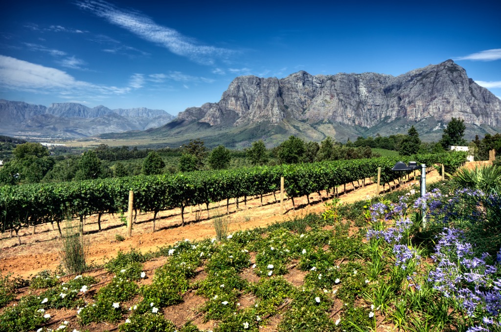
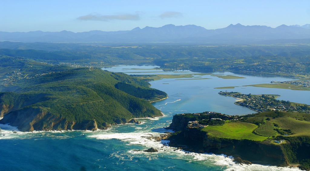
In the Western Cape province, Knysna is known for its lagoon, indigenous forests, and proximity to the Indian Ocean. The Knysna Heads' sandstone cliffs guard the lagoon entrance. Hiking in the surrounding temperate rainforest and viewpoints like The Heads Viewpoint are popular.
Surrounded by forests and reserves like Knysna Forest and Goukamma Nature Reserve, Knysna has diverse hiking trails showcasing ancient trees and birdlife.
Explore Western Cape with the PeakVisor 3D Map and identify its summits.

