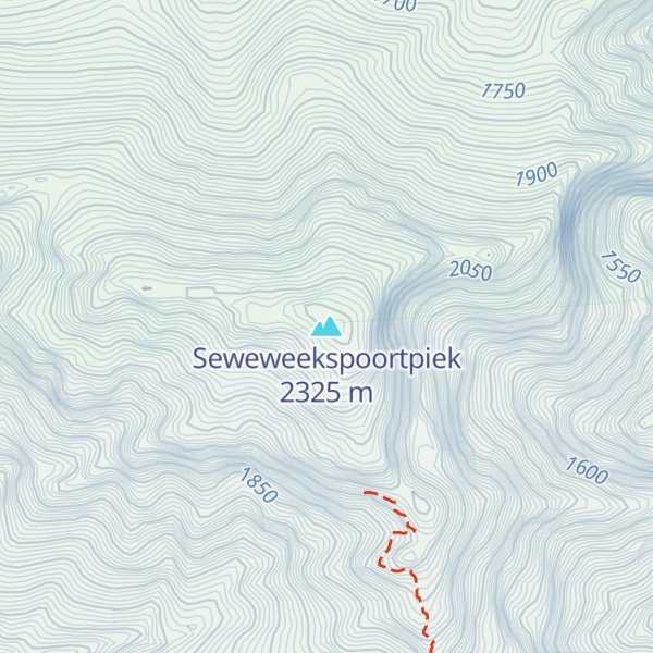
Seweweekspoortpiek (Afrikaans for ‘Seven Weeks Defile Peak’) is a peak in the Western Cape, South Africa. It is the highest mountain in the Cape Fold Belt and the highest point in the Western Cape province. Along with its western neighbour, Du Toits Peak, it qualifies as an Ultra and these are the only two in the country.
It is located in the Klein Swartberg range, close to the Seweweekspoort mountain pass.
By elevation Seweweekspoortpiek is
# 1 out of 9 in Towerkop Nature Reserve # 1 out of 567 in Garden Route District Municipality # 1 out of 775 in Central Karoo District Municipality # 1 out of 2908 in Western Cape
By prominence Seweweekspoortpiek is
# 1 out of 9 in Towerkop Nature Reserve # 1 out of 567 in Garden Route District Municipality # 1 out of 775 in Central Karoo District Municipality # 2 out of 2908 in Western Cape # 2 out of 14201 in South Africa
We use GPS information embedded into the photo when it is available.
3D mountains overlay
Adjust mountain panorama to perfectly match your photos because recorded by camera photo position might be imprecise.
Move tool
Rotate tool
Zoom
More customization
Choose which peak labels should make into the final photo and what photo title should be.
Next
Photo Location
Satellitte
Flat map
Relief map
Latitude
Longitude
Altitude
OR
Latitude
°'''
Longitude
°'''
Apply
Register Peak
Peak Name
Latitude
Longitude
Altitude
Register
Teleport
PeakVisor
This 3D model of Sagarmatha National Park in Nepal was made using the PeakVisor app topographic data. The mobile app features higher precision models worldwide, more topographic details, and works offline. Download PeakVisor maps today.
Download OBJ model
PeakVisor
The download should start shortly. If you find it useful please consider supporting the PeakVisor app.
PeakVisor for iOS and Android
Be a superhero of outdoor navigation with state-of-the-art 3D maps and mountain identification in the palm of your hand!