Get PeakVisor App
Sign In
Search by GPS coordinates
- Latitude
- ° ' ''
- Longitude
- ° ' ''
- Units of Length

Yes
Cancel
❤ Wishlist ×
Choose
Delete
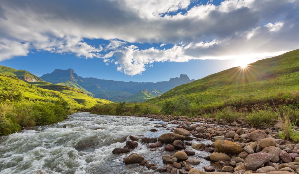
uKhahlamba / Drakensberg Park is a UNESCO World Heritage Site renowned for its stunning natural beauty, rich biodiversity, and unique cultural heritage. The Park, located in South Africa, straddles the eastern border of the enclave nation of Lesotho. There are 188 named mountains in uKhahlamba / Drakensberg Park. Mafadi is the highest point, measuring 3,450 meters (11,320 ft). The most prominent mountain is Devil's Knuckles.
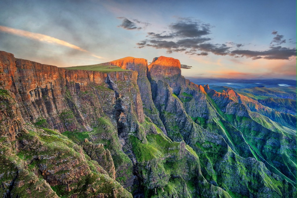
The uKhahlamba / Drakensberg Park is a protected area in the KwaZulu-Natal province, covering an extensive 2,428 km2 (938 sq mi). The park derives its name, uKhahlamba, from Zulu culture, where it symbolizes the "barrier of spears," depicting the area's rugged geological characteristics. The Drakensberg, which means "Dragon Mountains" in Afrikaans, similarly emphasizes the sheer and sharp landscape.
The park incorporates South Africa's longest mountain range, the Drakensberg. These mountains form a natural border between South Africa and the Kingdom of Lesotho and stretch for approximately 1,000 km (621 mi). This mountain corridor's summit elevations range from 2,000 to 3,450 meters (6,562 to 11,320 ft).
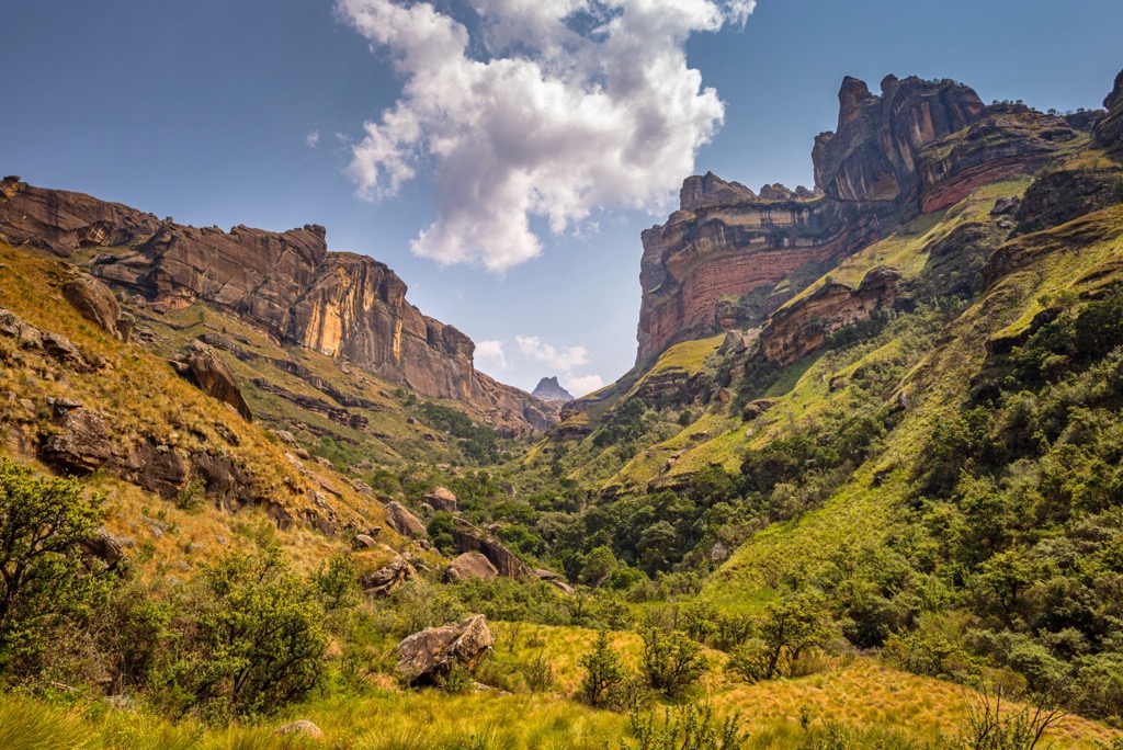
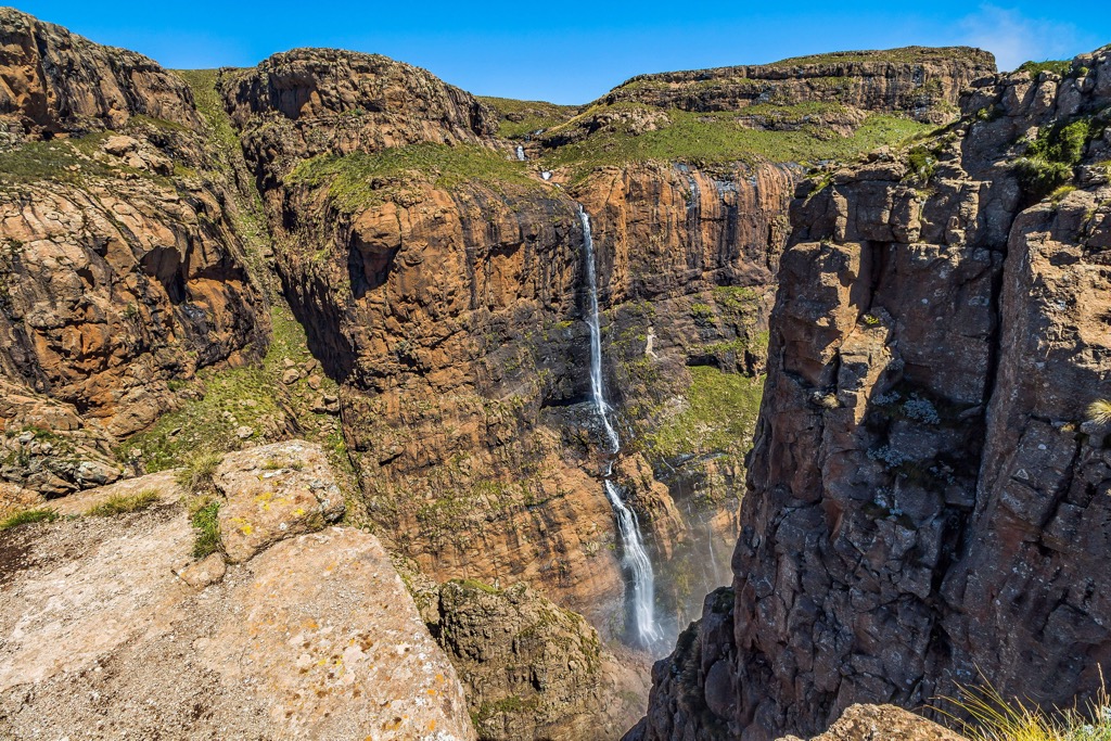
The park’s notable attractions include the Amphitheater, a 5 km (3 mi) long and 1,220 meters (4,003 ft) high rock wall; the Tugela Falls, the world's second-highest waterfall; and the challenging Sani Pass, a steep and winding mountain road that connects South Africa to Lesotho.
Due to its elevation and diverse topography, the park is subject to a range of climatic conditions. Summers are warm, while winters can be relatively cold, with snowfall at higher elevations. The climate variability contributes to the area's diverse plant and animal life.
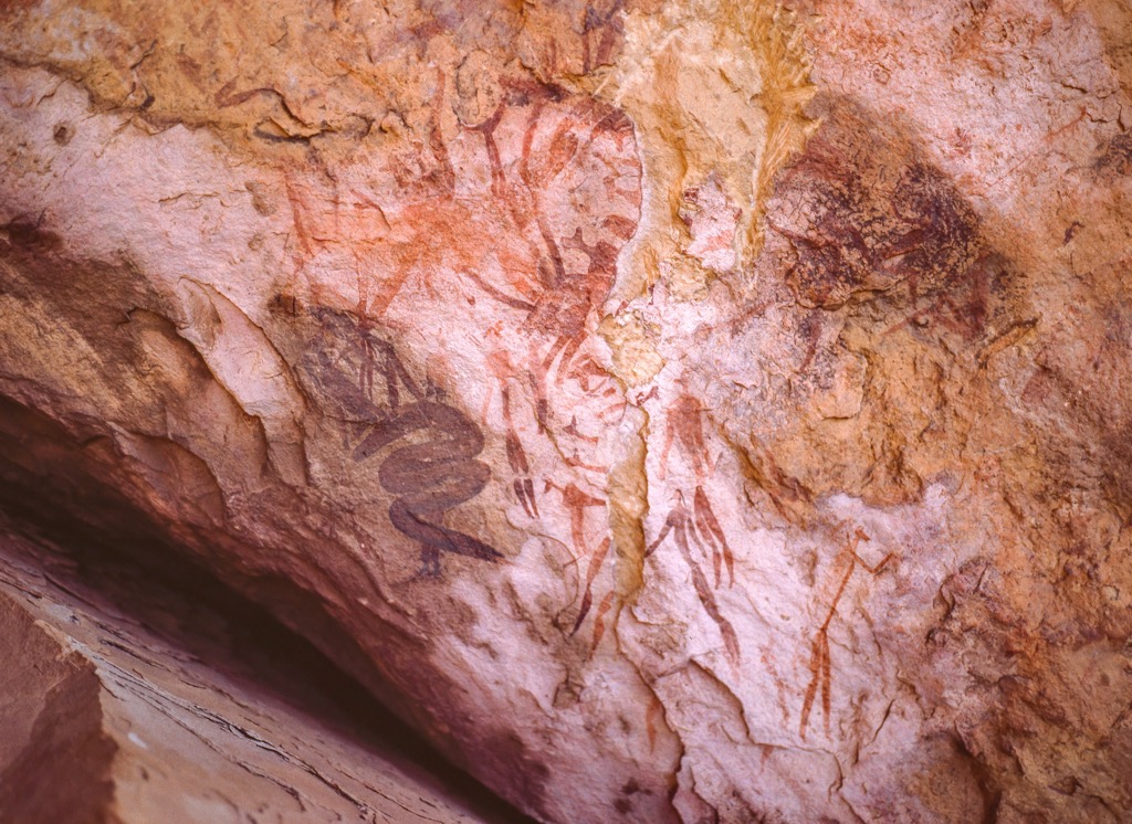
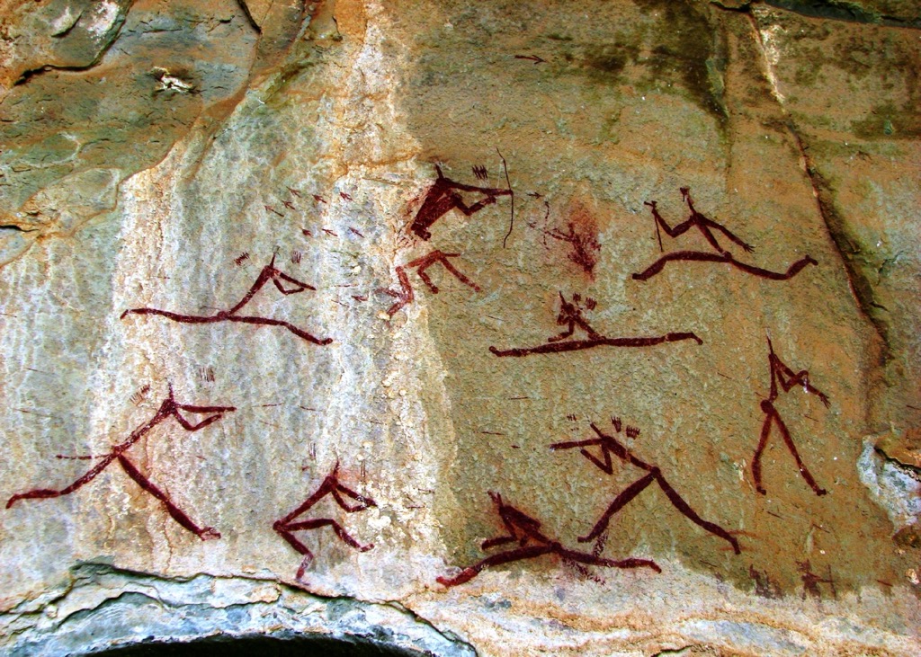
Within the uKhahlamba / Drakensberg Park, there’s a collection of caves featuring San rock art. Perhaps as an indication of the perennial draw of the mountains throughout human history, it’s the most extensive collection of ancient rock art in Africa south of the Sahara. Some of these artworks are believed to date back 40,000 to 100,000 years ago.
uKhahlamba / Drakensberg Park offers a wide range of activities for visitors. Hiking and trekking are particularly popular, with numerous well-marked trails catering to various skill levels.
The Drakensberg, South Africa's most extensive mountain range, exhibits a distinct contrast; basalt rock formations predominantly characterize higher elevations, while lower regions comprise sandstone. These rock types produce the jagged cliffs and spires that define the park’s character.
Beyond its geological significance, the park is vital in South Africa's hydrology. It’s the nation’s principal watershed, serving as the origin of numerous key rivers, including the Tugela.
The uKhahlamba / Drakensberg Park features impressive botanical diversity, with approximately 2,500 plant species. Among these, 350 are endemic to the region, and more than 500 are nearly endemic, such as the Spiral Aloe and the Drakensberg conebush.
A noteworthy botanical plant is the endangered Encephalartos ghellinckii, a cycad species threatened by illicit harvesting. The flora varies from grasslands and heathlands in low-lying areas to Afro-alpine and montane forests at higher elevations.
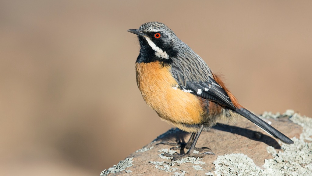
Various wildlife inhabits the park, including eland, baboons, rock hyraxes, and many species of birds. The uKhahlamba / Drakensberg Park harbors almost 40% of non-marine bird species in Southern Africa, with 299 recorded species. Endemic birds include the striking Drakensberg rockjumper, Drakensberg siskin, and mountain pipit. Threatened species like the Cape vulture and bearded vulture, or Lammergeier, also thrive here.
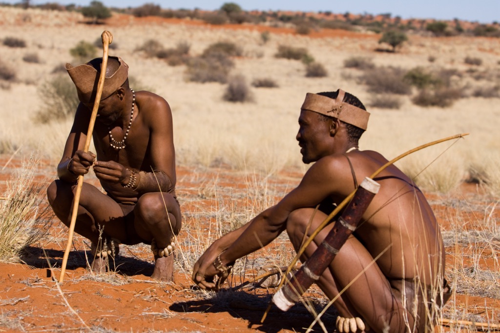
The history of human habitation in the uKhahlamba / Drakensberg Park region dates back tens of thousands of years. Archaeological evidence suggests that the San tribe was among the first to settle in the area. These early nomadic hunter-gatherers left a wealth of rock art in the park.
Over time, Bantu-speaking peoples migrated into the region, bringing agriculture and livestock farming. They settled in the fertile valleys of the Drakensberg Mountains and established villages and communities. The interactions between the San and Bantu peoples contributed to the area's cultural diversity.
During the colonial period, European settlers arrived in the region, leading to significant changes in the way of life for the indigenous people. Conflicts over land and resources arose, resulting in the displacement and marginalization of many local communities.
Today, the uKhahlamba / Drakensberg Park is not only a natural wonder but also a repository of cultural heritage. The descendants of the San and Bantu peoples still inhabit the area, and their traditions, languages, and customs continue to shape the region's cultural landscape.
In recognition of both its natural and cultural significance, uKhahlamba / Drakensberg Park was designated a UNESCO World Heritage Site in 2000. Conservation efforts have been made to protect the park's unique biodiversity, rock art, and archaeological sites.
As South Africa’s tallest point, the hike to Mafadi is demanding. There are three routes to South Africa’s highest peak, all involving steep climbing and river crossings.
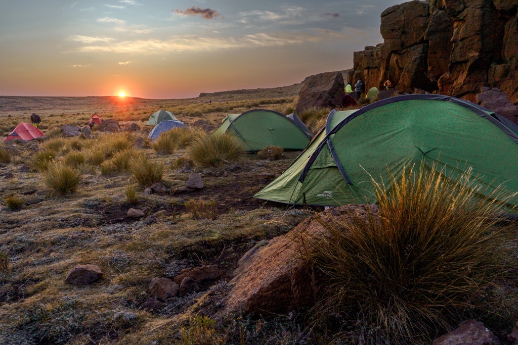
The most popular path is Corner-Leslie’s Loop, a four-day loop starting from Injisuthi Camp. Day one leads hikers through Injisuthi Valley and up a steep slope to Centerary Hut. Views of the Injisuthi Greater Buttress dominate from the hill.
Day two involves an arduous ascent via Corner Pass to Upper Injisuthi Cave. Perched at 3,289 meters (10,791 ft), it is the highest cave in the Drakensberg mountains.
Day three sees hikers summit Mafadi, where the peaks of Red Wall, Western Triplet, and Middle Triplet dominate the landscape. Hikers descend via Leslie's Pass, with a campsite at Marble Baths Cave. On day four, hikers return to Injisuthi Camp.
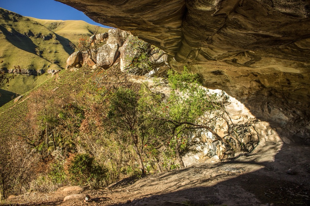
Leslie’s Pass is the reverse trail of Corner-Leslie’s Loop. Hikers first set off towards Marble Baths Cave before climbing Mafadi. From here, they’ll trek to Upper Injisuthi Cave and descend to Injisuthi Camp.
For a more challenging trek to Mafadi, the Judge Pass Route mirrors the first of Corner-Leslie’s Loop but ascends the steep and rocky Judge Pass on the second day. Expect rock scrambling and sheer slopes before reaching Upper Injisuthi Cave. The trail follows Corner-Leslie’s Loop to Mafadi and back to Injisuthi Camp.
This Northern Drakensberg trek is a favorite amongst hikers for its views of prominent peaks and the world's second-highest waterfall at 983 meters (3,225 ft).
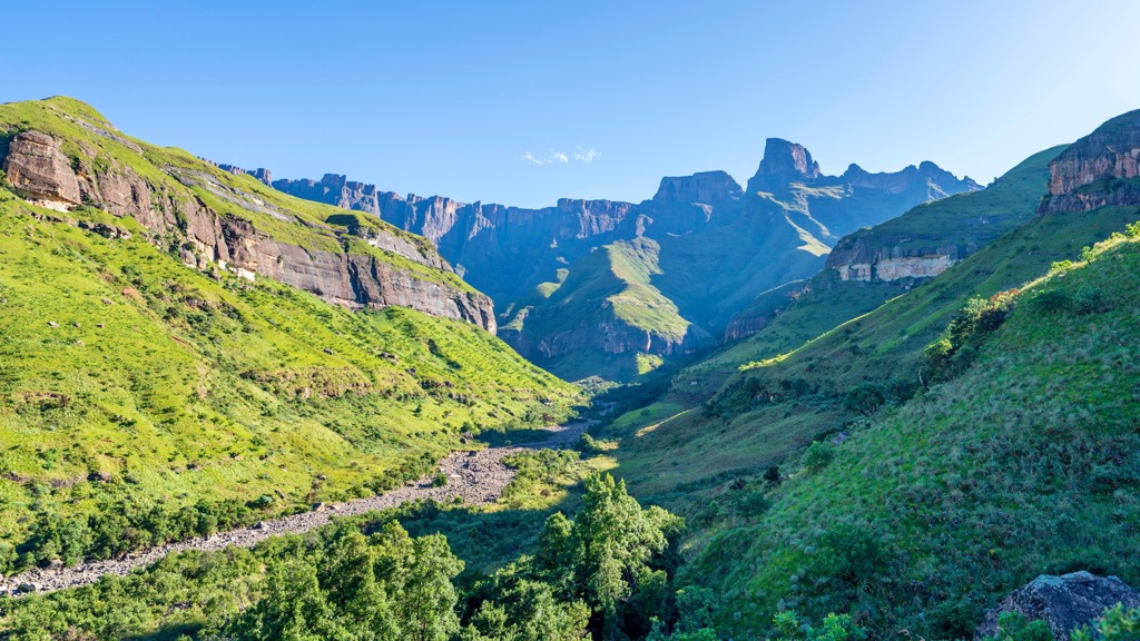
The 14.5 km (9 mi) out-and-back trail along the Tugela River Valley takes 4 to 6 hours, with 450 meters (1,476 ft) of elevation gain. From the Sentinel Car Park, hikers climb a winding path from where they’ll observe Beacon Buttress and Sentinel mountains.
After a leisurely start, the trail increases in difficulty with chain ladders leading to the Amphitheatre summit. Iconic Drakensberg mountains like Mont-Aux Sources, Crows Nest, and Devil’s Tooth dominate the horizon from the summit.
Sterkhorn, also known as Mount Memory, is a roundtrip 16 km (10 mi) day hike in the northern Drakensberg. It begins with a steep 3.4 km (2.1 mi) ascent to Crystal Falls, Sphinx, and Breakfast Stream, offering water refill opportunities.
Continuing for 2.5 km (1.5 mi) to Blind Man’s Corner, the path is relatively flat with scenic mountain views. Next, the most challenging part is a 2 km (1.2 mi) ascent to Sterkhorn at 2,973 meters (9,754 ft) elevation. This section is narrow, rocky, and involves some scrambling. At the summit, the view looks onto Cathkin Peak, Monk’s Cowl, Mhlawazini, and the Turret.
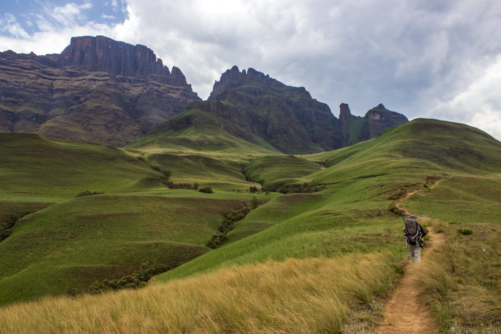
Lower Injisuthi Cave in South Africa's central Drakensberg is a well-known camping spot. It accommodates up to 12 people and features protected rock art. Located 8 km (5 mi) from Injisuthi Hutted Camp, it's accessible via a relatively easy hike, though river crossings can be difficult after heavy rain.
The cave overlooks the river and offers a downstream walk to Boundary Pool and Poacher's Stream. It also provides views of the high escarpment, featuring peaks like Monk's Cowl, Cathkin Peak, and Champagne Castle Buttress.
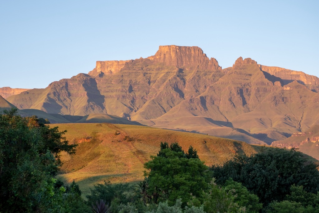
Bell Traverse in the central Drakensberg spans 42 km (26 mi) over three days. It commences and concludes at Cathedral Peak Hotel.
Day one ascends Organ Pipes Pass, reaching the 3,277 meter (10,751 ft) Cleft Peak for a panoramic view of Cathedral Peak. A steep descent through the Maloreng Valley leads to an undulating road to Twin Cave across the Kwakwatsi Valley.
On Day two, hikers encounter narrow, exposed paths and contour iconic peaks like the Mitre, Chessmen, Inner Horn, Outer Horn, and Bell. The scenery includes steep escarpments and formidable valleys.
Day three descends from the escarpment via the steep Bugger Gulch Gully to Orange Peel Gap. Hikers follow a marked route past Shermans Cave and Doreen Falls before reaching the Cathedral Peak Hotel.
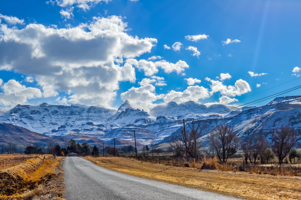
The Cathedral Peak Hiking Trail is a grueling hike in the central Drakensberg with an elevation gain of 1,600 meters (5,249 ft). The trail's namesake, Cathedral Peak, is a prominent mountain dominating the landscape.
The trailhead is easily accessible from the town of Winterton. The trail starts from the Cathedral Peak Hotel and follows a ridge up to Orange Peel Gap, where it joins the Bell Traverse, a scenic route that runs along the slopes of several peaks.
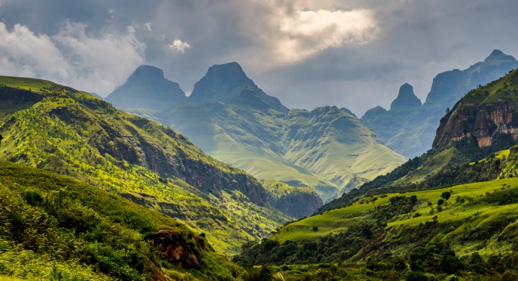
The trail then branches off to ascend Cathedral Peak, a spire-like mountain that offers views of the escarpment and the surrounding valleys. The hike is about 19 km (12 mi) round trip and involves rock scrambling and exposure in places.
Situated on South Africa’s east coast, Durban is most known for its year-round warm weather. Even during the winter season, with average highs of 23°C (73°F), it’s not uncommon for locals to visit the beach and swim in the warm Indian Ocean.
Durban is famous for its beautiful beaches. The Golden Mile, a stretch of beachfront promenade, is a popular spot for sunbathing, swimming, and water sports. The marine theme park and aquarium, uShaka Marine World, is one of Durban's top attractions. It offers a range of activities, including water slides, an aquarium, dolphin and seal shows, and a chance to interact with marine life.
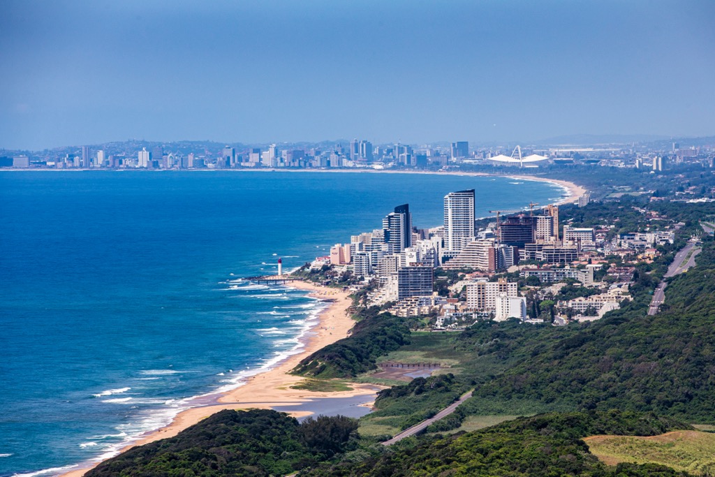
Situated near the beachfront, Moses Mabida Stadium is a hub for sporting events and concerts. It also offers city views from the SkyCar ride to the top.
The city is known for high crime, so it’s best to take basic precautions when traveling there, like not wandering alone at night and carrying relatively little money on your person.
Located 78 km (48 mi) west of Durban, this inland city is KwaZulu-Natal’s second-largest. Unlike Durban, Pietermaritzburg is not much of a holiday destination, but its proximity to the uKhahlamba / Drakensberg Park adds to its appeal.
The Nelson Mandela Capture Site is just outside Pietermaritzburg, a significant historical landmark. It's here that Nelson Mandela was arrested in 1962. The site features a sculpture and an informative museum.
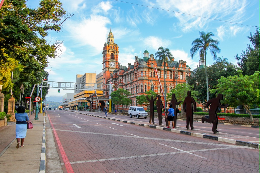
Pietermaritzburg is steeped in history, and a visit to the city center will showcase many historic buildings and sites. The Old Colonial Building, the Natal Museum, and the Voortrekker Museum provide insight into the city's past.
The Kwa-Zulu Natal Botanical Garden spans approximately 70 ha (173 ac). It houses a remarkable diversity of plant species, including a vast array of indigenous trees, shrubs, succulents, and other flora.
Explore Maloti Drakensberg Park with the PeakVisor 3D Map and identify its summits.


