Get PeakVisor App
Sign In
Search by GPS coordinates
- Latitude
- ° ' ''
- Longitude
- ° ' ''
- Units of Length

Yes
Cancel
❤ Wishlist ×
Choose
Delete
The West Coast District Municipality is situated in the Western Cape province of South Africa. It is defined by the coastal plain to the west and the Cederberg Mountains to the east. There are 695 named mountains in the West Coast District Municipality; Groot-Winterhoekpiek is the highest point at 2,077 meters (6,814 ft), while the most prominent mountain is Sebrakop, measuring 1,458 meters (4,783 ft).
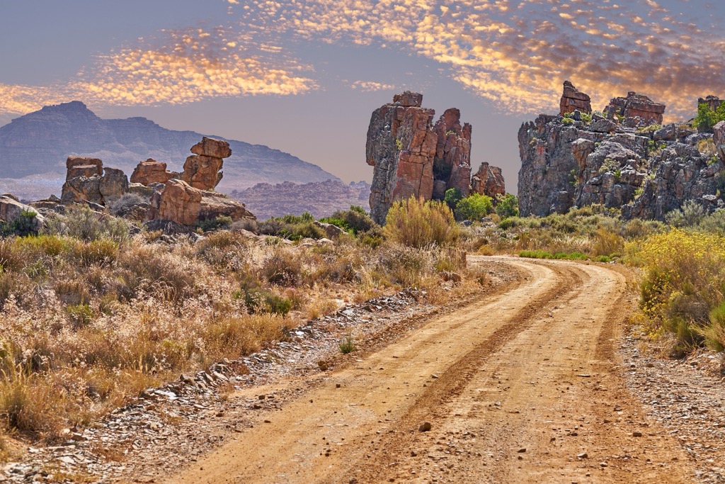
The West Coast District Municipality covers 3,111,900 ha (7,689,672 ac) and extends 350 km (217 mi) along the Atlantic coast. It borders the Namakwa District Municipality to the north, Cape Winelands District Municipality to the east, the City of Cape Town to the southeast, and the Atlantic Ocean to the west.
The district features coastal plains, sandy beaches, and rugged mountains, including the Cederberg Mountain Range along its eastern escarpment. The Berg River drains the southern part, while the Olifants River drains the Cederberg and northern areas. The Olifants River Valley is known for citrus farming, with the Cederberg mountains nearby.
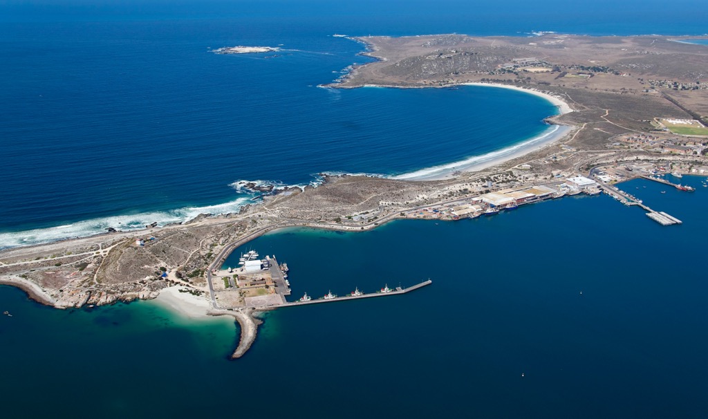
The Swartland region in the south is primarily agricultural, focusing on grain production. To the west, the Cape Columbine peninsula includes coastal resorts and the Saldanha Bay harbor. To the north, the Knersvlakte region is part of the arid Namaqualand.
The climate varies, with coastal areas having a rare and desirable Mediterranean climate and inland areas being more arid. The district is part of the Cape Floristic Region, known for its spring wildflowers and unique fynbos vegetation. Wildlife includes small antelope, baboons, numerous bird species, and marine life such as seals and whales.
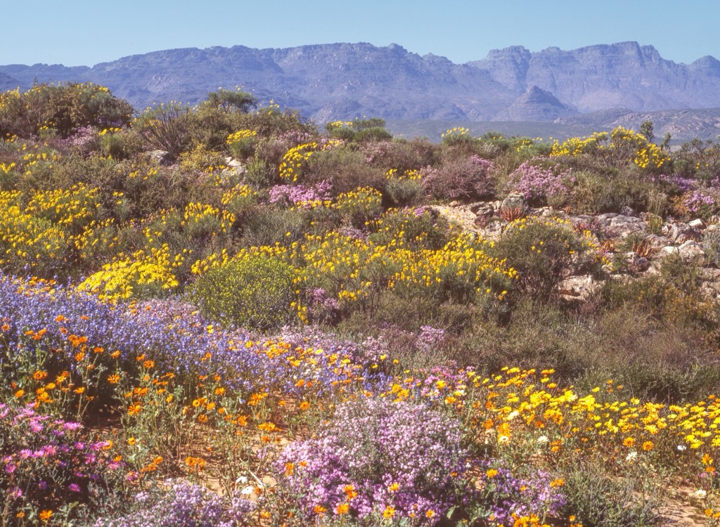
Key towns include the administrative center of Vredenburg, Saldanha Bay’s deep-water port, the historical Clanwilliam, and Langebaan.
The West Coast District Municipality geomorphology displays diverse topographical features, including rugged mountain ranges primarily composed of quartzitic sandstones from the Table Mountain Group, such as the Cederberg and Piketberg mountains. Coastal plains exhibit broad, flat terrain with younger sedimentary deposits and extensive dune systems. River valleys, like those shaped by the Berg River, create fertile alluvial plains supporting agriculture.
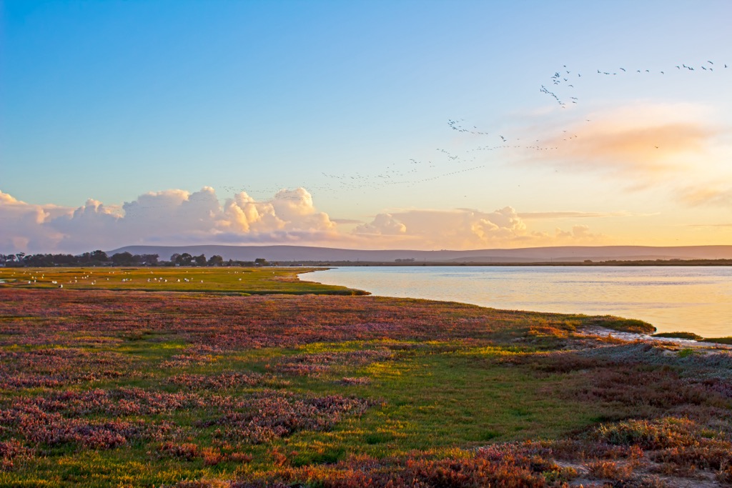
Diverse plant life thrives in the West Coast District Municipality, which is dominated by fynbos, especially in the Cederberg mountains. This vegetation is part of the Cape Floristic Region, a hotspot with over 9,000 plant species, many of which are endemic. The fynbos biome includes shrubs, heathlands, proteas, ericas, and restios. It transitions to the north and east into the Succulent Karoo biome, where stone plants and quiver trees have adapted to arid conditions.
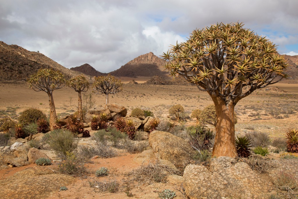
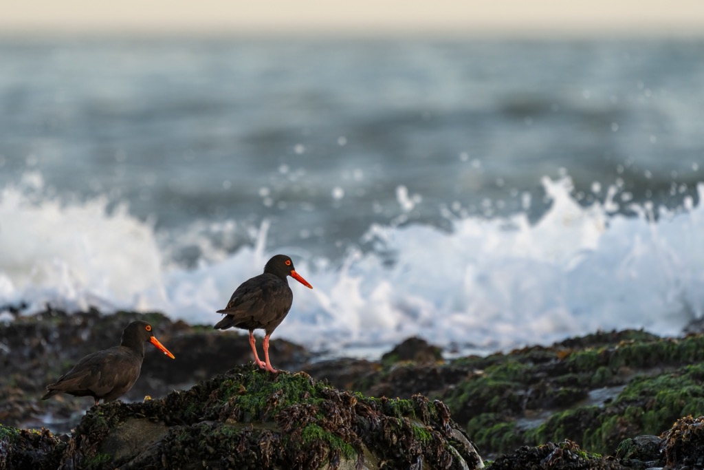
The West Coast features sandy beaches, rocky shores, and estuaries, supporting diverse marine life. The Benguela Current provides nutrient-rich waters sustaining various marine species, including fish, seabirds, and marine mammals. The region hosts numerous bird species, including the endangered African black oystercatcher and Cape gannet, along with mammals such as the Cape mountain zebra, klipspringer, and various small mammals. Wetlands and estuaries provide critical habitats for amphibians and reptiles.
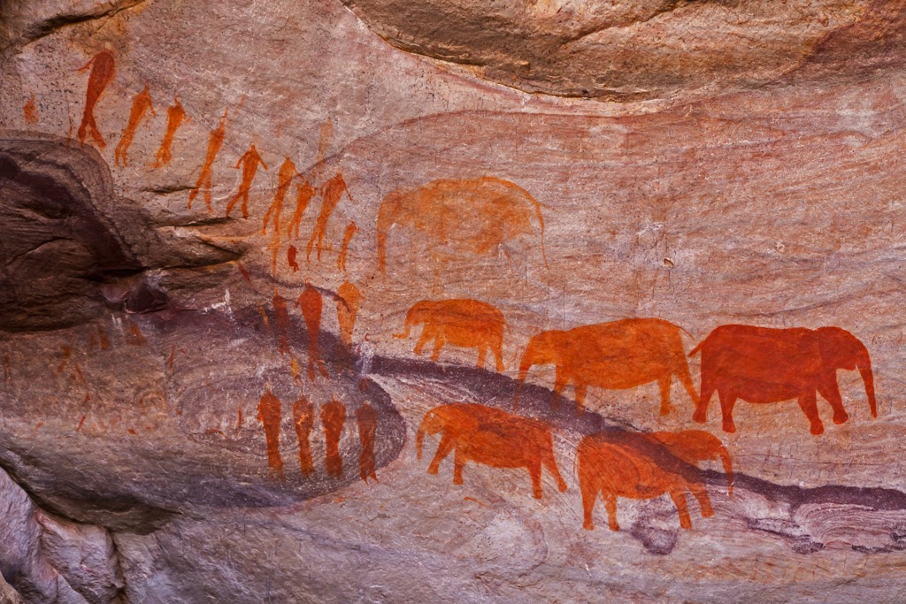
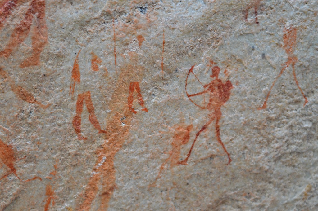
The West Coast District Municipality was originally inhabited by the San and Khoikhoi peoples, who were hunter-gatherers and pastoralists. The San are known for their rock art, some of which still exist today. The Khoikhoi were nomadic pastoralists, moving seasonally with their livestock.
Portuguese navigators first explored the West Coast in the late 15th century, but the Dutch settled the region in the 17th century, establishing an outpost in Cape Town in 1652. Dutch farmers, or Boers, began moving into the area, leading to the displacement of the Khoikhoi.
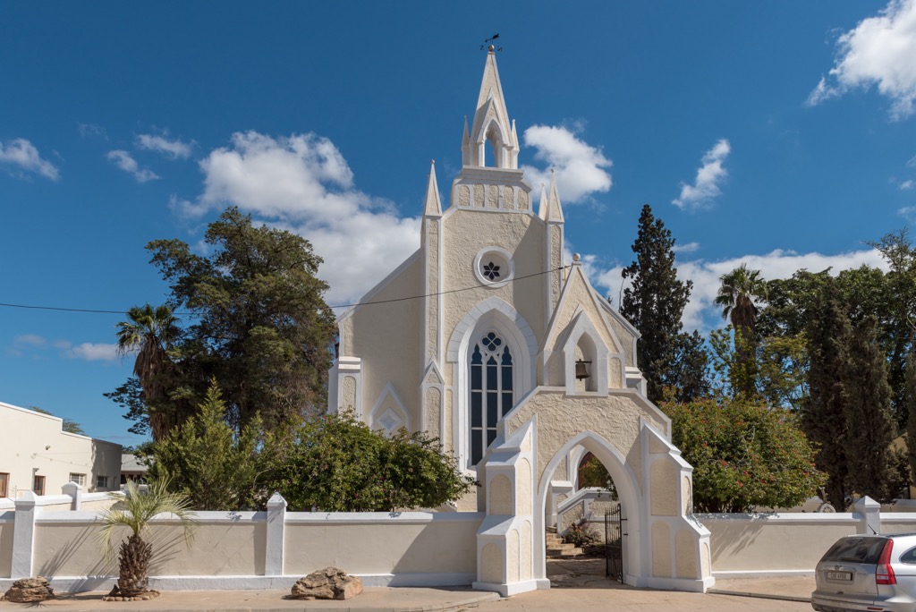
In 1795, the British took control of the Cape Colony, bringing significant changes, including the abolition of slavery in 1834. The 19th and early 20th centuries saw agricultural growth and infrastructure development, integrating the West Coast into the colonial economy.
During apartheid from 1948 to 1994, the West Coast, like the rest of South Africa, experienced racial segregation and discrimination. Since the end of apartheid in 1994, the region has worked to address past inequalities and promote economic development, although the work is far from over. Tourism has become a major industry, attracting visitors to its natural beauty and historical sites.
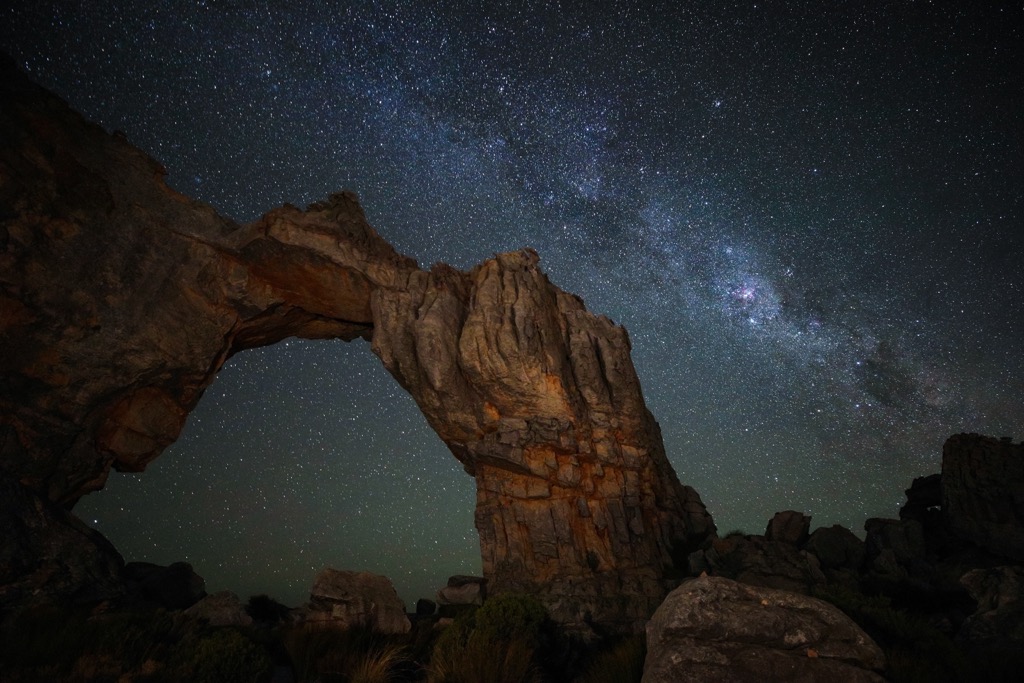
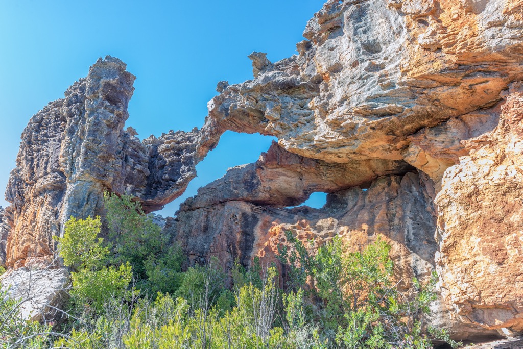
The Cederberg Wilderness Area offers many hiking trails for all levels of fitness. The Wolfberg Arch and Wolfberg Cracks Trail covers approximately 16 km (10 miles) and leads trekkers through rugged terrain. The highlight is the iconic Wolfberg Arch, a natural 15-meter (49 ft) high sandstone arch.
The Sevilla Rock Art Trail, about 5 km (3 mi), leads hikers through nine San rock art sites. The Maltese Cross Trail, approximately 7 km (4 mi) round-trip, features a unique rock formation resembling the eponymous Maltese cross symbol. For experienced hikers seeking a challenge, the 24 km (15 mi) Sneeuberg Hiking Trail offers a strenuous ascent to Sneeuberg, the highest peak in the Cederberg range. On clear days, hikers can locate Table Mountain in the distance.
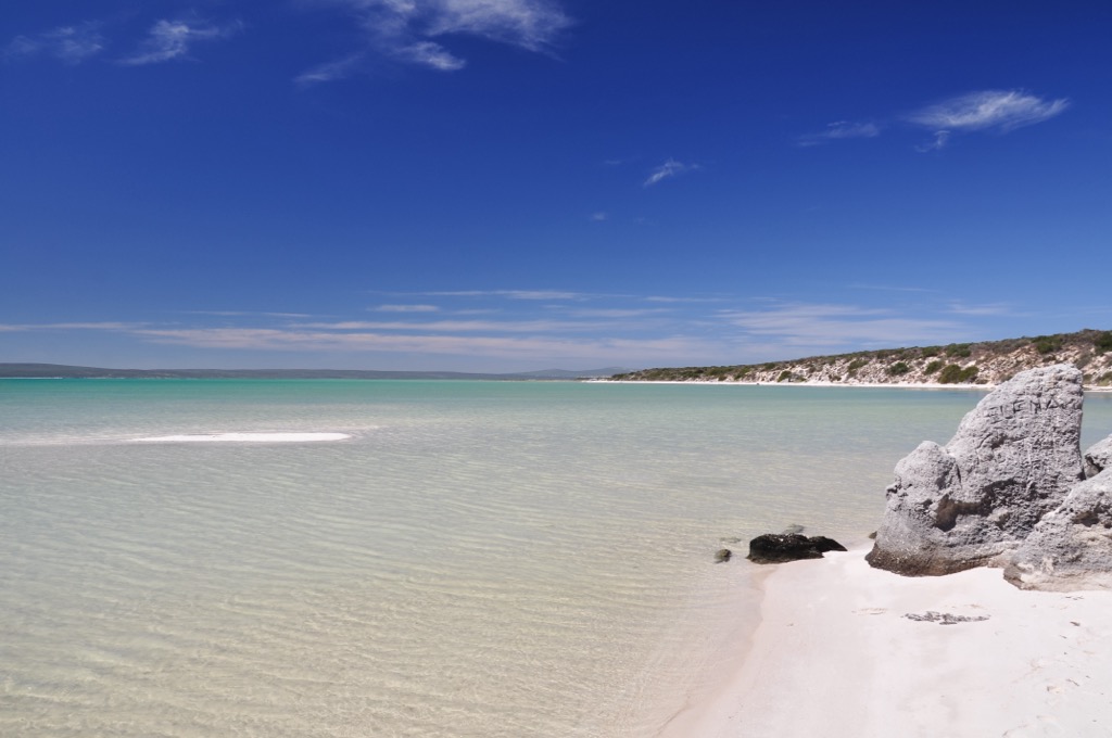
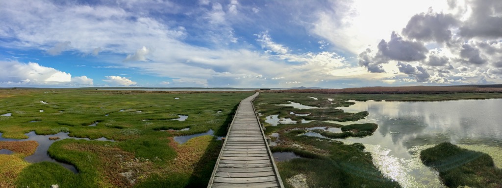
The West Coast National Park features a range of scenic hiking trails across wetlands, beaches, and salt marshes. The Strandveld Two-Day Hiking Trail consists of two 14 km (9 miles) long loops, showcasing coastal ecosystems and fynbos vegetation along the Sixteen Mile Beach. Another notable trail is the Postberg Hiking Trail, which extends 19 km (12 miles) across the park's natural beauty.
The Geelbek Short Day Walks offer 10 km (6 mi) and 7 km (4 mi) trails, traversing the Sixteen Mile Beacand dunes and fynbos without committing to a full-day hike.
The Groot Winterhoek Wilderness Area's rugged landscape offers several hiking trails amidst exceptional rock formations. Nine recognized day hikes, ranging from 5 km (3 mi) to 16 km (10 mi), are suitable for various fitness levels. The hikes offer views of Tierkop, Drosterberg, and Groot-Winterhoekpiek. Hikers can also explore hidden caves and rock formations on an 18 km (11 mi) overnight hike to Die Hel.
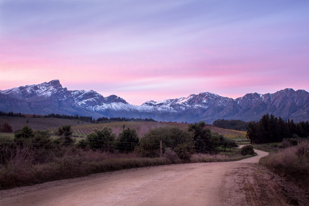
The Cape Columbine Nature Reserve on South Africa's west coast features diverse hiking trails suitable for all levels. The Tietiesbaai to Lighthouse Trail is an easy hike, offering ocean and coastline views. The Seekombuis to Tietiesbaai Loop is a moderate trail through fynbos-covered hills. The Vuurtoren Trail leads directly to Cape Columbine Lighthouse along the rugged coastline, offering panoramic ocean views. During spring, the Cape Columbine Spring Flower Loop showcases fields of blooming wildflowers and coastal outlooks.
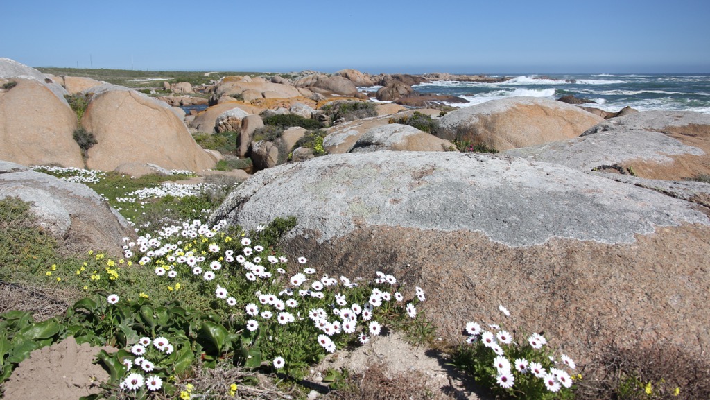
Langebaan is a town on South Africa's west coast, about 120 km (75 mi) north of Cape Town. It is part of the West Coast National Park, which includes the Langebaan Lagoon, a hub for wildlife viewing and watersports. The lagoon's consistent winds make it suitable for kiteboarding and windsurfing. The town's main beach, Langebaan Beach, is popular with locals and tourists for sunbathing, swimming, and beach walks.
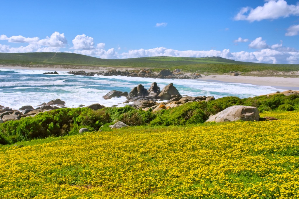
Saldanha Bay is located 140 km (87 mi) north of Cape Town and features one of Africa's largest natural harbors. Sailing and boating are also common activities in Saldanha Bay. Fishing, both recreational and commercial, is another significant attraction, with deep-sea fishing trips available.
Seasonal whale and dolphin watching tours are offered, with frequent sightings of Southern Right Whales and dolphins appealing to wildlife enthusiasts.
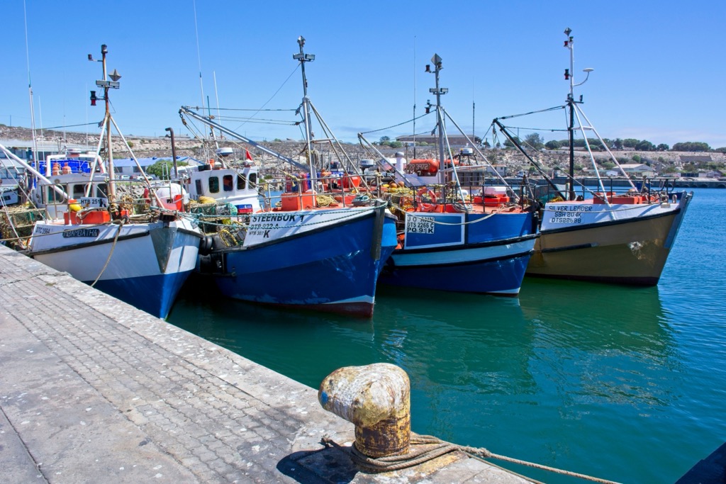
Clanwilliam is a small town in the Western Cape, located at the foot of the Cederberg Mountain Range and alongside the Olifants River. As the center of rooibos tea production, Clanwilliam opens its rooibos tea factory to visitors for tea tasting and learning about the cultivation, harvesting, and processing of this tea.
The region is also known for wine production. Visitors can explore the Cederberg Wine Route, which features several wineries offering tastings and tours. The unique terroir of the Cederberg produces distinctive wines.
Explore West Coast District Municipality with the PeakVisor 3D Map and identify its summits.


