Get PeakVisor App
Sign In
Search by GPS coordinates
- Latitude
- ° ' ''
- Longitude
- ° ' ''
- Units of Length

Yes
Cancel
❤ Wishlist ×
Choose
Delete
The Namakwa District Municipality is located in the Northern Cape province of South Africa, covering a large area with a sparse population due to its arid conditions. There are 1992 named mountains in Namakwa District Municipality. Bontberg is the highest point, at 1,922 meters (6,306 ft). The most prominent mountain is Rooiberg, measuring 1,705 meters (5,594 ft).
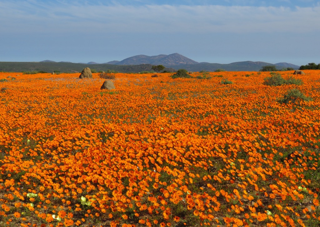
Namakwa District Municipality covers 12,683,600 ha (31,341,858 ac) and stretches from the Atlantic Ocean on the west to the Orange River in the north, which forms a natural border with Namibia. The landscape is dominated by desert and semi-desert terrain, including the famous Namaqualand, recognized for its spectacular seasonal wildflower displays. The Richtersveld in the north, a UNESCO World Heritage Site, is a mountainous desert with unique plant life and a history tied to the Nama people.
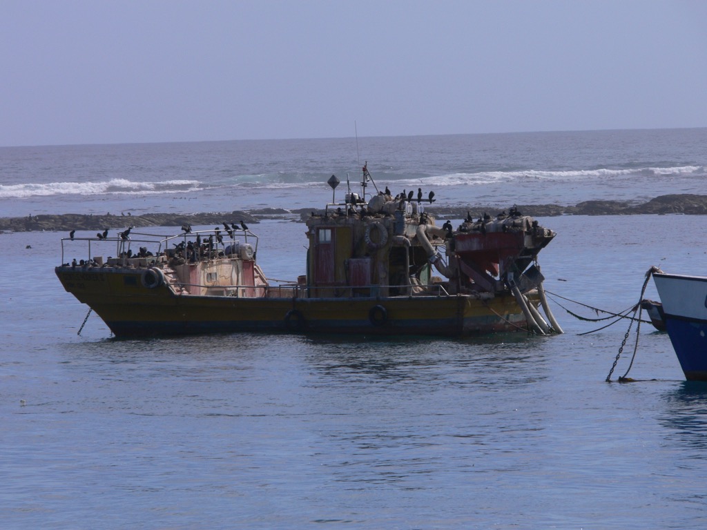
The Orange River supports limited irrigation, making some agriculture possible in this arid country. The district features the Kamiesberg and Namakwa Mountains, as well as a rugged Atlantic coastline known for diamond mining in areas like Alexander Bay and Port Nolloth.

Namakwa’s climate is characterized by hot summers, mild winters, and low rainfall, with cooler conditions along the coast due to the Benguela Current. Inland, temperatures fluctuate more dramatically, and rain is infrequent, usually falling in the winter.
Namakwa’s economy is based on mining and agriculture. Diamond, copper, and zinc mining is essential, especially along the coast and in the Richtersveld. Sheep and goat farming is common, but the dry land ultimately limits livestock production. Some grapes and other crops are grown along the Orange River using irrigation. Tourism is also a significant economic driver, especially during the wildflower season.
Namakwa District Municipality mainly comprises the Namaqua Metamorphic Province, which includes rocks like gneisses, schists, and granites formed by ancient tectonic activity over one billion years ago.
The northern Richtersveld region features volcanic and granitic rocks shaped by tectonic activity. At the same time, the Okiep Copper District near Springbok is known for copper deposits and other minerals like lead, zinc, tungsten, and diamonds. Alluvial diamonds are also found along the coast, having been carried by the Orange River. The region also has sedimentary rocks from the Nama Group that contain fossils of early life forms.
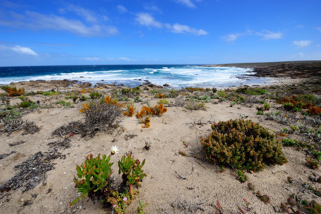
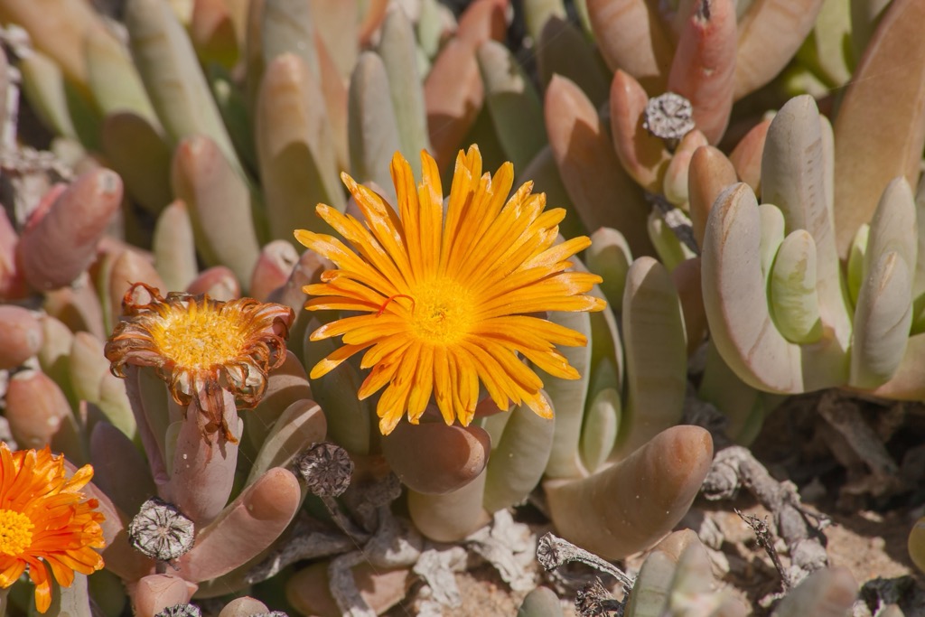
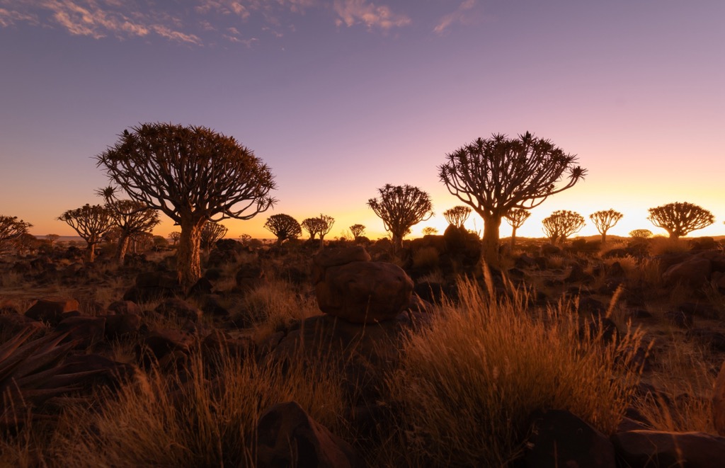
Namakwa District Municipality features arid coastal, desert, and semi-desert ecosystems. It lies within the Succulent Karoo biome, known for its endemic succulents and drought-tolerant plants like the Quiver tree, with some areas in the Nama Karoo biome consisting of shrublands and grasslands.
The area is home to animals like springbok, gemsbok, and jackals. Birds, including raptors and various migratory species, and reptiles like the Namaqua chameleon are also common. Along the Atlantic coast, the area has rich marine life supported by the cold Benguela Current. Wetlands and estuaries also provide important habitats for both birds and aquatic creatures.
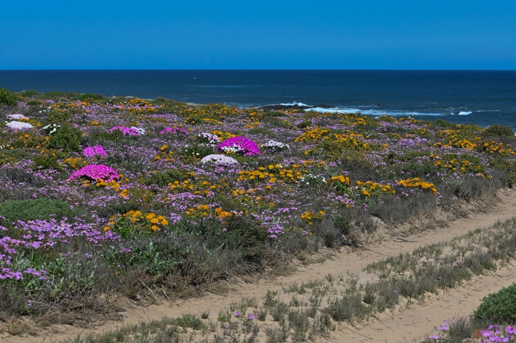
The Khoikhoi and San peoples first inhabited Namakwa District Municipality and lived as pastoralists and hunter-gatherers. The region contains many archaeological sites, including rock art.
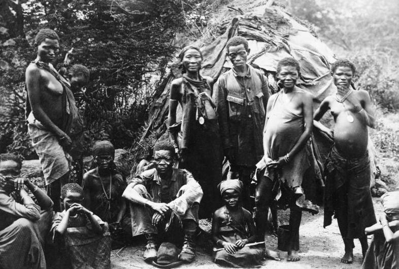
The district takes its name from the Nama People, the largest group of the Khoikhoi. The Nama once settled along a vast region across Namibia, Botswana, and South Africa; Namibia also takes its name from these peoples.
In the 17th century, Dutch settlers arrived, bringing agriculture, particularly sheep farming, to the district. The British took control in 1806, and the discovery of diamonds nearby in the late 19th century influenced the local economy.
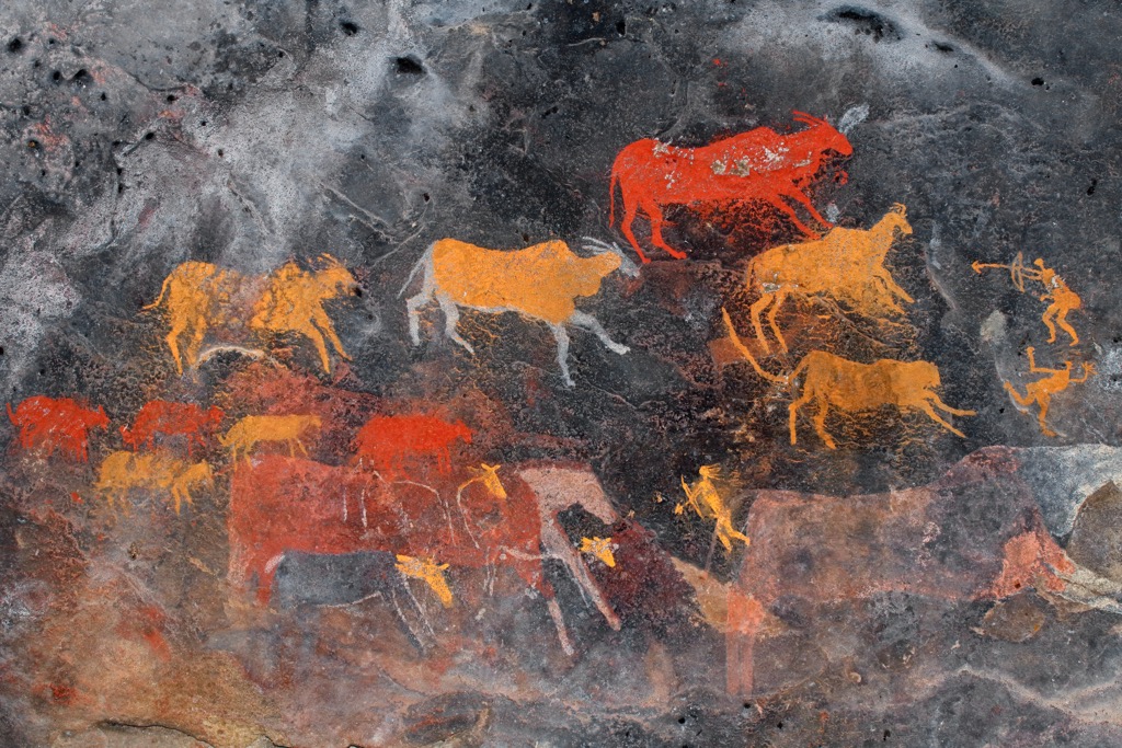
During apartheid, the Namakwa District, like many other areas in the country, was affected by forced removal and segregation. Indigenous and non-white communities were systematically marginalized and forced into rural reserves or towns with limited economic opportunities.
For decades, South Africa was a pariah state, an outcast in the international community. After the end of apartheid in 1994, South Africa transitioned to a democratic government, and the Namakwa District became part of the newly formed Northern Cape Province. South Africa has begun a slow but sure integration into the international community, led largely by ecotourism and ecological diversity like that in the Namakwa District Municipality.
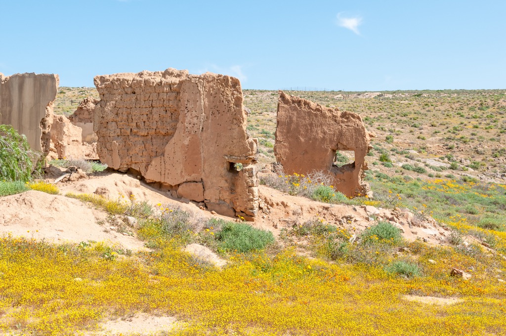
Namaqua National Park offers a variety of hiking trails that showcase its unique landscapes and biodiversity. The Skilpad Walking Trail, a 5 km (3 mi) circular route, is particularly popular during the spring flower season from August to September, when the landscape transforms into vibrant carpets of wildflowers. The trail also offers views of Osseberg, Brandberg, and Tafelberg and wildlife spotting of springbok, gemsbok, and klipspringers.
The Korhaan Walking Trail, a shorter 3 km (2 mi) route, meanders through bushy areas and open fields, offering a chance to see a diverse array of wildflowers and possibly spot some of the park’s resident wildlife. For a hike with coastal views, the 6 km (4 mi) Heaviside Hiking Trail starts at the Abjoel viewing deck, descends a dune, and follows a rocky coastal section before reaching a long white beach known for sightings of humpback whales, Heaviside dolphins, and seabirds.
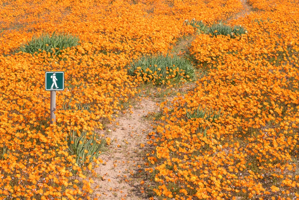
/Ai-/Ais Richtersveld Transfrontier Park features a range of hiking trails through its rugged desert terrain. The Vensterval Trail, a challenging 4-day hike open from April to September, leads hikers through dramatic landscapes with steep ascents and descents across Tswaies Mountain. A guide is required due to its difficulty. The Lelieshoek-Oemsberg Trail, spanning three days, offers views of the park’s unique flora and ancient rock art sites.
For hikers with less time, the 2-day Kodaspiek Trail showcases panoramic views of the surrounding mountains of Numeesberg, Paradysberg, and Koeroegab. Additionally, the Fish River Canyon Hike, primarily on the Namibian side, covers 85 km (53 mi) over 4 to 5 days, ending at the Ai-Ais hot springs and offers a challenging route through the world’s second-largest canyon.

The Namaqua Flower Hike covers 65 km (40 mi) over three days and is famous for its floral displays from August to September. Starting in Nabapeep, hikers follow daisy-lined paths into the Goegap Nature Reserve, home to over 600 plant species, including Namaqua daisies and the Schaap River Canyon. The second day offers expansive floral vistas and wildlife sightings, including springboks and gemsboks. The final leg from Okiep to Concordia takes participants through scenic, flower-draped valleys, concluding in the historic mining town of Concordia.
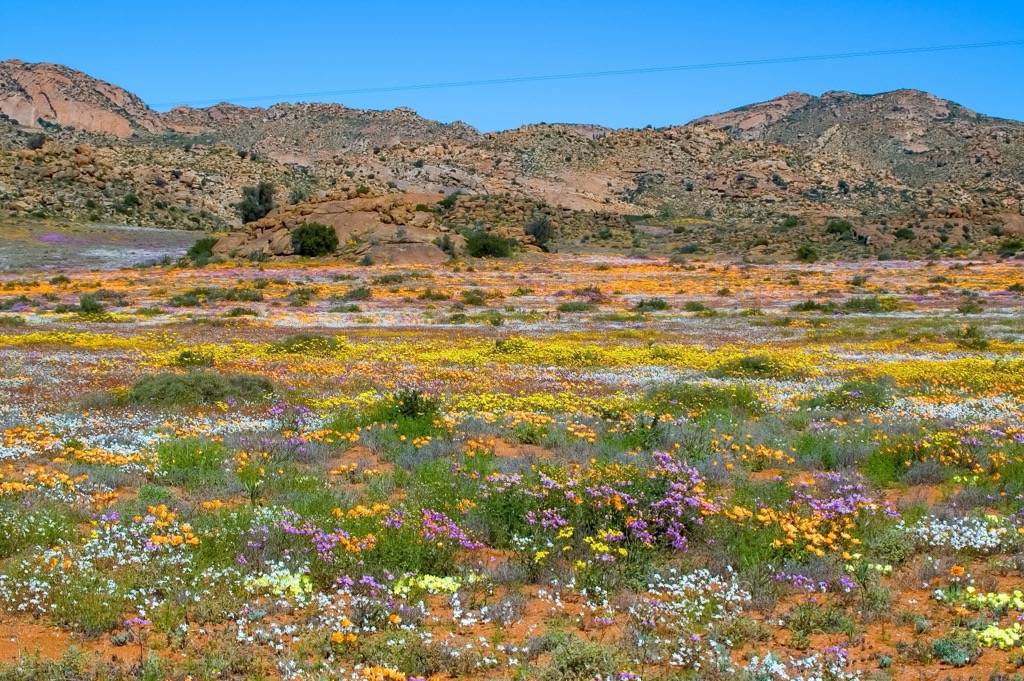
The Namaqua Camino is a 7-day, 140-km (87 mi) slack-pack walk in the Namaqualand region. The trek is timed to coincide with the annual wildflower season. The journey begins in the coastal village of Hondeklipbaai and covers a mix of inland and coastal routes, with daily distances ranging from 10 km to 27 km (6 mi to 17 mi). The walk is fully supported, with luggage and tents transported between campsites, allowing walkers to carry only a light daypack.
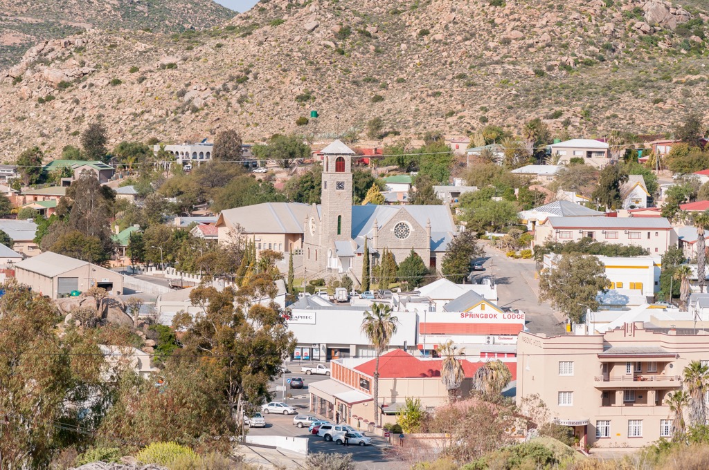
Springbok is the seat of the Namakwa District Municipality. The town is named after the medium-sized ungulate ubiquitous here and across southern Africa. Just outside town, Goegap Nature Reserve offers opportunities to enjoy the region's wildlife, including antelope, springbok, and over 40 bird species.
Nearby archaeological sites, like Blydeberg, showcase the area's long history with rock art, ancient stone tools, and remnants of early settlements.
A short distance from Springbok, the Kokerboom Forest, or Quiver Tree Forest, is home to a striking concentration of quiver trees. The forest is especially scenic at sunset when illuminated in the golden hour.
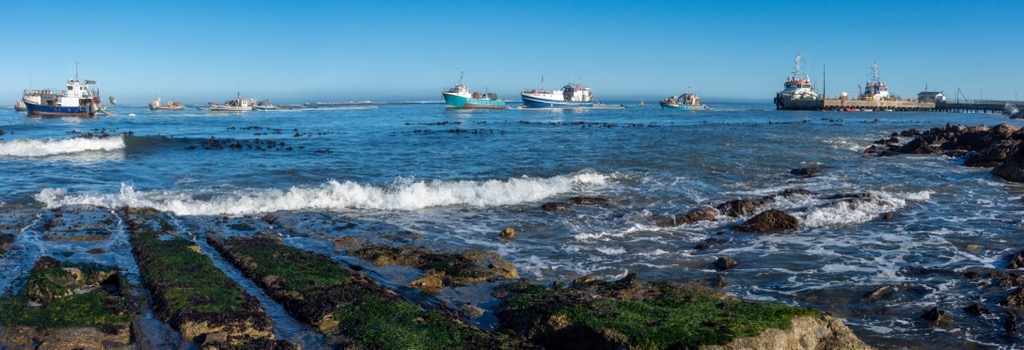
Port Nolloth is a small town on the Atlantic Ocean coastline. It lies approximately 600 km (370 mi) north of Cape Town, making it a remote destination. The area is home to marine life like dolphins, seals, and migrating whales; visitors can observe wildlife on boat tours and coastal walks.
Due to its remote location, Port Nolloth is far from the light pollution of big cities, making it an excellent place for stargazing. The clear, unpolluted skies allow visitors to view the stars, planets, and constellations with exceptional clarity, particularly on clear evenings.
Finally, Port Nolloth is connected to the diamond mining industry. Visitors can tour local diamond mines to see the process.
Explore Namakwa District Municipality with the PeakVisor 3D Map and identify its summits.


