
The first maps appeared many thousands of years ago. Since times immemorial, humans have been trying to convey the sense of a large space and improve navigation capabilities. Major topographic features like mountains, rivers, water bodies, and settlements, played a key role in map-making from the very beginning. That is why we are blessed with the abundance of ancient information about peaks and mountains that came unscathed through times.
Despite the huge accumulation of knowledge and advancing technologies to the level that seemed like magic not that long ago, we still oftentimes forget seemingly less important details. There are many mountains going into oblivion just to be rediscovered much later and be assigned new names. Oftentimes, they are located in remote regions whose times of prosperity belong to the long-forgotten past. Less and less indigenous people in those areas preserve that ancient knowledge.
For us, at PeakVisor it is crucial to keep track of all the mountains in the world. We have already sourced information on more than 1 million named peaks all over the world. And that’s just the beginning. There are many times more unknown or forgotten peaks out there. Even in very well mapped countries like the USA, there are peaks missing on contemporary digital maps. Take the biggest (and the wildest) state of Alaska for example. There are dozens, even hundreds of peaks which early explorers and native inhabitants used to know by name, yet, those names are unknown or do not ring a bell to modern hikers.
We are trying to do our best in the quest for organizing world mountains data. We have found captivating stories in personal blogs of real people (and their pets) adventures, we read books, we crunched over paper maps (especially old ones) to gather missing pieces of the puzzle. One of the most interesting blogs we have ever discovered is The (Mostly) True Adventures of Lupe.
While the importance of this work might not be obvious in well-informed societies like those in the US, Canada, and the EU, it becomes crucial in the new world destinations which quickly gain tourism momentum. Take the Caucasus region for example. Georgia, which is 50% larger than its Alpine counterpart Switzerland, has been getting greater traction from the US and the EU tourists. Georgia attracts them with the spectacular scenery of the Caucasus Mountains and off-the-beaten-track adventures.
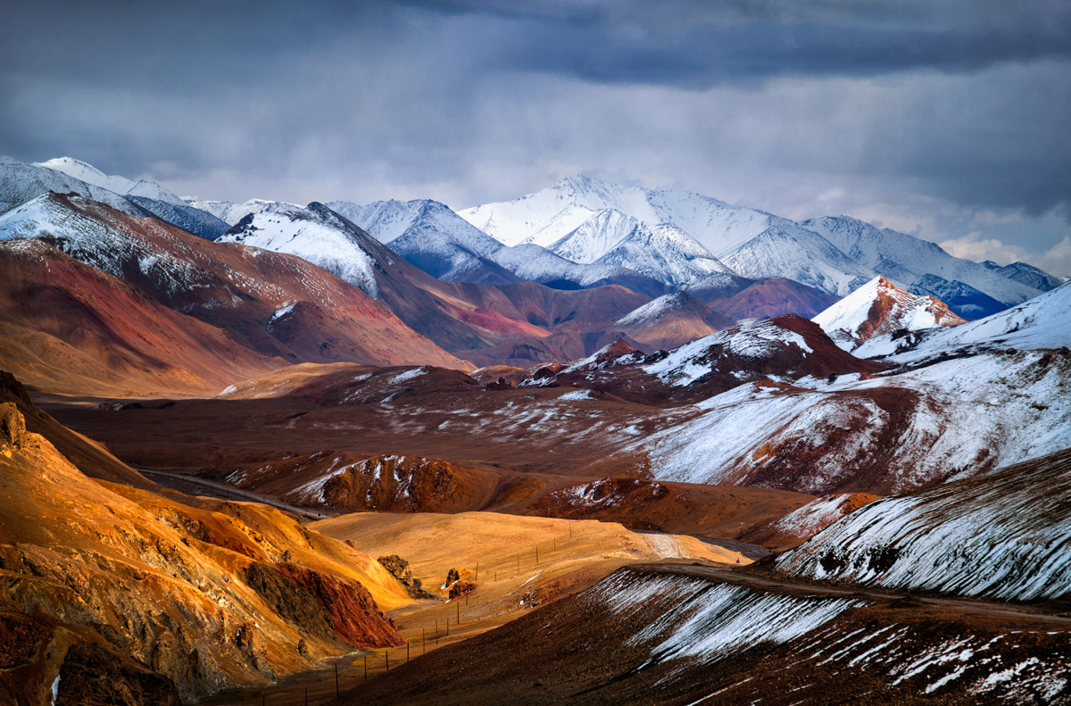
There is a massive influx of adventurous outdoor enthusiasts to a plethora of mountains in Asia. To keep them well-informed about the topography we have even introduced automatic localization feature allowing mountaineers at least to loosely pronounce mountain names in non-Latin-based languages spoken in Tajikistan, China, Japan.
What unites this vast and diverse part of the world is that old Soviet-era maps are almost the single reliable source of topographic data. Made by Soviet military men for wartime needs, those maps have been top secret for many decades. Unsurprisingly, Soviet cartographers presented mountain information with staggering far-sightedness. They indicated the range of vision for snipers/shooters and observers. That is why it is not a rare case to see such indications as “No-name Peak, visibility 20 km”. The great thing about the Soviet military maps is that not only they covered countries of the Soviet Block in great detail but many other places which were on the opposite side of political ideology. With the Soviet Union falling apart, those maps became available for a wider audience. The whole story about their appearance feels like a spy thriller. We suggest you read the Wired on this topic.

Not surprisingly, the Soviet maps are a treasure trove of topographic information for anyone interested in the mountains in that part of the world. In fact, for trekking in the countries like Georgia, Kyrgyzstan, Tajikistan, Mongolia these maps are indispensable. It is not a coincidence that the most prominent peaks of mountain ranges there have Russian connotations. Here are just a few notable examples:
- Lenin Peak (renamed to Ibn Sina (Avicenna) Peak in 2006) in the Pamir Mountains
- Pik Sovetskih Oficerov (Soviet Officers Peak) in the Pamir Mountains
- Pik Krasnih Komandirov (Red Commanders Peak) in the Pamir Mountains
- Pik Dankova in the Tian Shan
- Pik Sovetskoi Konstitucii (Soviet Constitution Peak) in the Tian Shan
- Pobeda Peak / Jengish Chokusu (Victory Peak) the highest in the Tian Shan
The trails information and human-activity-related development can be outdated but mountains, rivers, and passes are still relevant. Some toponyms didn’t survive political changes like the above-mentioned Lenin Peak. Yet, having this kind of information is crucial for any serious trek in that region because those remnants of the past still bear serious implications and can greatly enrich one’s trekking experience. The same applies to any trek in Russia, be it the one close to the developed areas in the Caucasus Mountains, mountains around Lake Baikal, or an ideal wilderness of Kamchatka or the Stanovoi Range.
This is the reason why researching many mountaineering reports in Russian language and reading old Soviet maps is an important activity for us which helps us to preserve the knowledge and digitize the vastness of old paper information. We make sure that PeakVisor provides all the available information even for the most remote regions in the world, so you could have the best data even for the smallest peaks no matter which mountains you are going to. We leave no stone unturned to ensure the validity of the information published.
If you like what we do and would like to see it growing, the best way to support us is to get the PeakVisor PRO subscription which is just a cup of coffee a month and help us spread the word about it.