Scan the QR code and open PeakVisor on your phone
The White Knob Mountains are a remote, scenic range in the US state of Idaho that’s home to 23 named mountains. The highest and most prominent peak in the range is Redbird Mountain at 11,263 ft (3,433 m) in elevation.
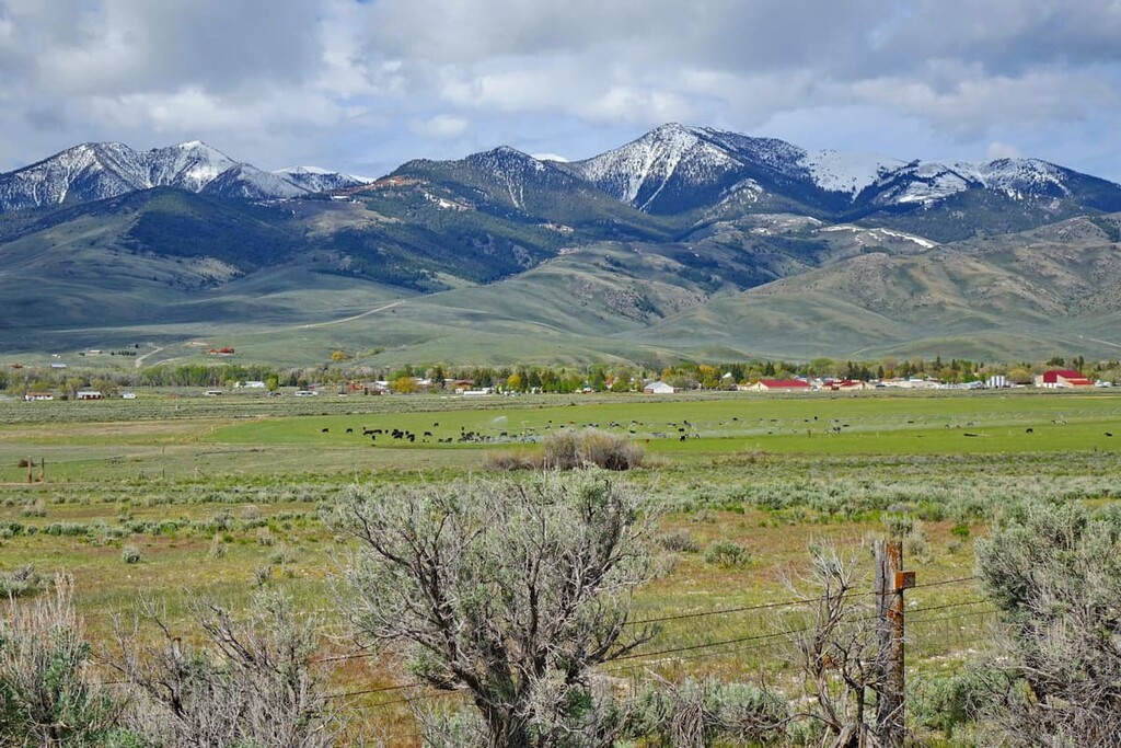
The White Knob Mountains are situated in south-central Idaho, to the west of the town of Mackay and US Route 93. The range is about 10 miles (16 km) wide and it runs 30 miles (50 km) from northwest to southeast. It is bordered by the Lost River Valley and the Copper Basin to the west.
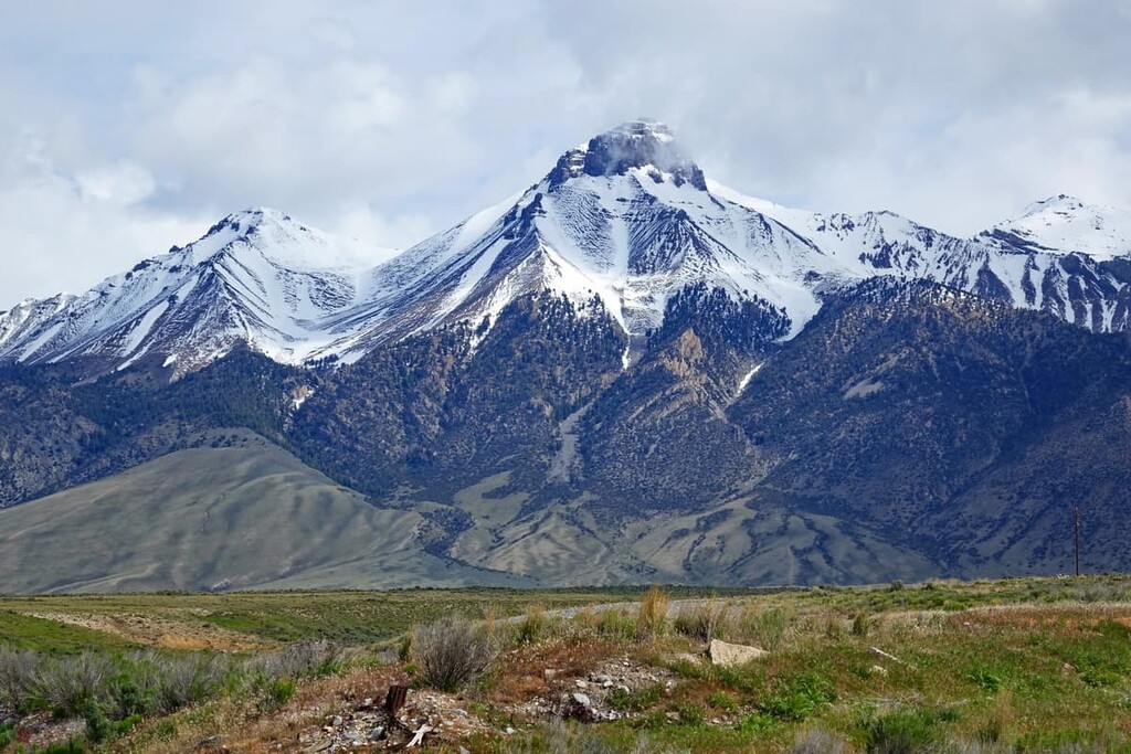
There are four peaks in the White Knob Mountains over 11,000 ft (3,353 m) in elevation: Redbird, Shelly, Lime, and Cabin mountains. These mountains form a single ridge at the core of the range. There are also several peaks above 9,000 ft (2,743 m) in the range.
Views from the high peaks of the White Knob Mountains are some of the best in all of Idaho. On a clear day, you can see up to seven other mountain ranges from the White Knob summits, including the Boulder, Pioneer, White Cloud, and the Bitterroot Mountains.
The range is located between two of Idaho’s highest and most visited ranges, the Pioneer Mountains and the Lost River Range. As such, the White Knob Mountains are frequently seen but rarely visited.
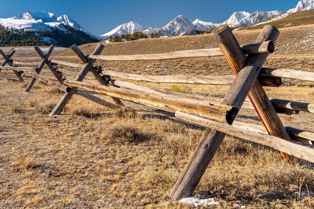
Accessing the White Knob Mountains can be challenging. Most of the trailheads lead off from Forest Service roads or old mining roads which require four-wheel-drive or at least high clearance. The range is located in part in the Salmon-Challis National Forest but some areas that are located closer to Route 93 are maintained by the Bureau of Land Management.
The mountains are popular with hikers, peak baggers, and rock climbers. Castle Rock and White Knob Domes are especially popular for climbing. There are plenty of other hiking opportunities located nearby, too, including the Salmon-Challis National Forest, Jim McClure-Jerry Peak Wilderness, and the Frank Church-River of No Return Wilderness.
The White Knob Mountains are geologically complex. They are also unique among mountain ranges in Idaho. The range is composed mostly of crumbling sedimentary rock, including limestone. It also features granite intrusions and other areas of volcanic rock, which date back to huge eruptions that took place about 50 million years ago.
Exposed granite plutons form near-vertical towers around the range, most famously on White Knob Mountain. The northern and southern ends of the range feature large piles of colorful Challis volcanic rhyolite.
Because of this geological complexity, the White Knob Mountains have abundant mineral resources. There have been several mines located here over the years, although none are active anymore.
The area of the White Knob Mountains is also seismically active. The White Knobs lie just west of the Lost River Fault, which produced the largest earthquake in Idaho’s history in 1983. The Mount Borah earthquake, which was centered just a few miles north of White Knobs, registered as a 6.9 on the moment magnitude scale. The earthquake caused the Lost River Valley to drop in elevation by about 8 ft (2.4 m) while nearby Borah Peak rose by about 1 ft (30 cm).
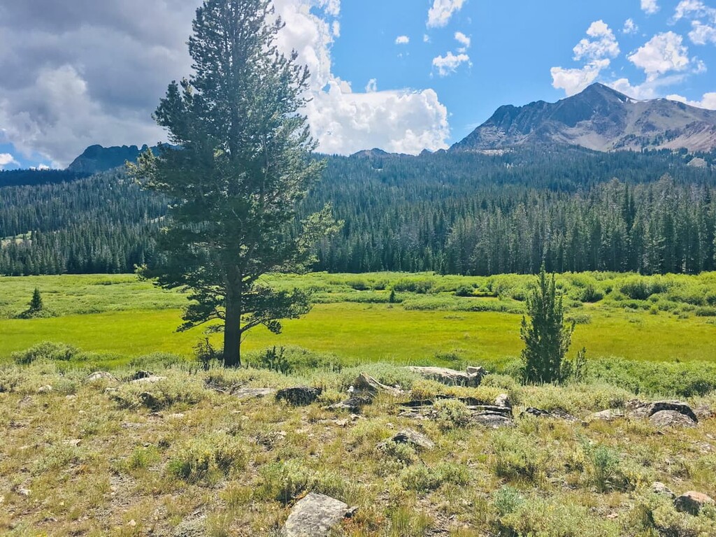
The White Knob Mountains lie in the rain shadow of the Pioneer Mountains, so they’re relatively dry and have limited forest cover. Due to these lower precipitation levels, the White Knobs usually have snowpack that melts earlier than other mountains in the area. Most of the peaks are above the treeline, offering broad 360-degree views.
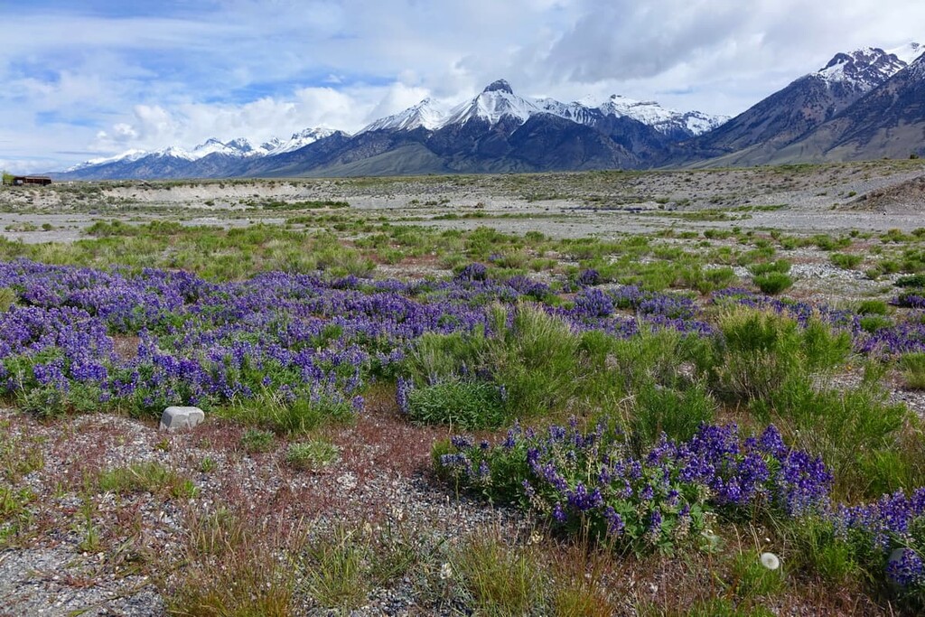
Sagebrush is the most common plant in the area. In the mountain valleys, there are stands of limber pine trees, interspersed with lodgepole pines and spruce trees. At the lower elevations, aspen and mountain mahogany are common.
The mountains are home to several species of large wildlife. The area is particularly important for deer and elk herds, which use it as a wintering area.
People have lived in the area of the White Knob Mountains for thousands of years. The most prominent tribal nation in the area before European contact was the Shoshone-Bannock. Archeological evidence for their presence, particularly that of the Lemhi Shoshone (Akaitikka/Agaidika) in the nearby Lemhi Valley dates back over 8,000 years.
The Shoshone-Bannock traditionally lived in semi-nomadic bands and spoke a language in the Numic branch of the Uto-Aztecan language family. The Shoshoni language is spoken by over a thousand people today, most commonly on the Duck Valley and Fort Hall reservations in Idaho.
When Europeans and Euro-Americans first began arriving in the area in the early 1800s, the Shoshone-Bannock initially had friendly relations with them and traded with fur trappers. As more and more settlers began to arrive in the region via the California and Oregon trails, there were increasing conflicts between settlers and Indigenous communities.
Most of the Shoshone-Bannock people in the area were forced to relocate to the Fort Hall Reservation, near Pocatello, Idaho in the late 1860s. Over 5,000 people live there today.
During the late 1800s, significant mineral deposits were found in the White Knob Mountains. Copper was first discovered here in the 1880s and the area was mined extensively. Hikers will likely spot old mining shafts and equipment throughout the area, especially around White Knob Mountain.
The first mine in the area was built on the eastern face of the mountain, eventually giving rise to the town of White Knob. Today, White Knob is now a ghost town that’s listed on the National Register of Historic Places.
The White Knob Mountains are a great destination if you’re looking to get away from higher-traffic areas like the Sawtooth or Pioneer Mountains. Here are a few good trails to check out:
This White Knob Range Traverse will take you over the four highest peaks in the range, offering challenging scrambles and stunning views all around.
The easiest route over the four peaks starts from Alder Creek Road in the Sawmill Canyon area, where you’ll begin by climbing Shelley Mountain. From Shelley Mountain, the route follows the ridgeline north to Redbird, Lime, and Cabin mountains.
When you reach the top of Cabin Mountain, you can extend the hike by continuing on to North Cabin Mountain, or descend from the saddle between Lime and Cabin Mountains to a lake where you can pick up the Stewart Canyon trail back to the parking lot.
If you’re looking to experience how quiet and isolated the White Knob Mountains can be, the Lake Creek Trail is a good choice. This trail starts off National Forest Road 138 at the southern end of the remote Copper Basin.
The loop trail leads up a canyon to the northern flank of Smiley Mountain. The trail is relatively moderate and there are a number of beautiful lakes along the way.
The Mackay Mine Loop is a moderate trail that takes you through one of the White Knob Mountains’ many historic mining sites. In addition to interesting historical sites, this trail offers beautiful views over the Lost River Valley towards Mount Borah and some of the highest peaks in Idaho.
The loop starts just outside the town of Mackay, so it’s much easier to access than many of the other remote trailheads in the White Knob Mountains. There are also options from this loop to continue up to Mackay Peak and White Knob Mountain, although taking this side trip adds a significant amount of elevation gain for this hike.
Looking for a place to stay during your trip to the White Knob Mountains? Here are some nearby cities and towns to check out:
The closest town to the White Knob Mountains is Mackay, a town of 500 people located at the foot of Mackay Peak in the Lost River Valley. The town provides excellent access to both the White Knob Mountains and the Lost River Range.
Mackay has plenty of attractions for visitors, including a golf course and free campground. There’s also a ghost town and historic mining operation that are both preserved as an open-air museum.
Situated about 100 miles (160 km) southeast of the range, Idaho Falls is one of the closest cities to the White Knob Mountains.
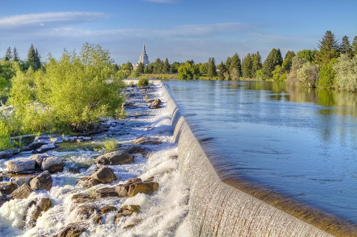
Idaho Falls is home to 60,000 people, but with its beautiful location on the Snake River not far from the Teton Mountains, it’s still a good destination for anyone looking to find some outdoor adventures. Within the city, there’s a thriving downtown area, a zoo, and a 5-mile (8.4 km) trail system that runs along the Snake River.
The town of Ketchum lies on the opposite side of the White Knob Mountains, to the west of the Pioneer Range. It’s about 100 miles away (160 km) from Mackay in the winter, although a shorter 50-mile (80 km) route is possible during the summer when a gravel road opens between Highway 93 and Ketchum.
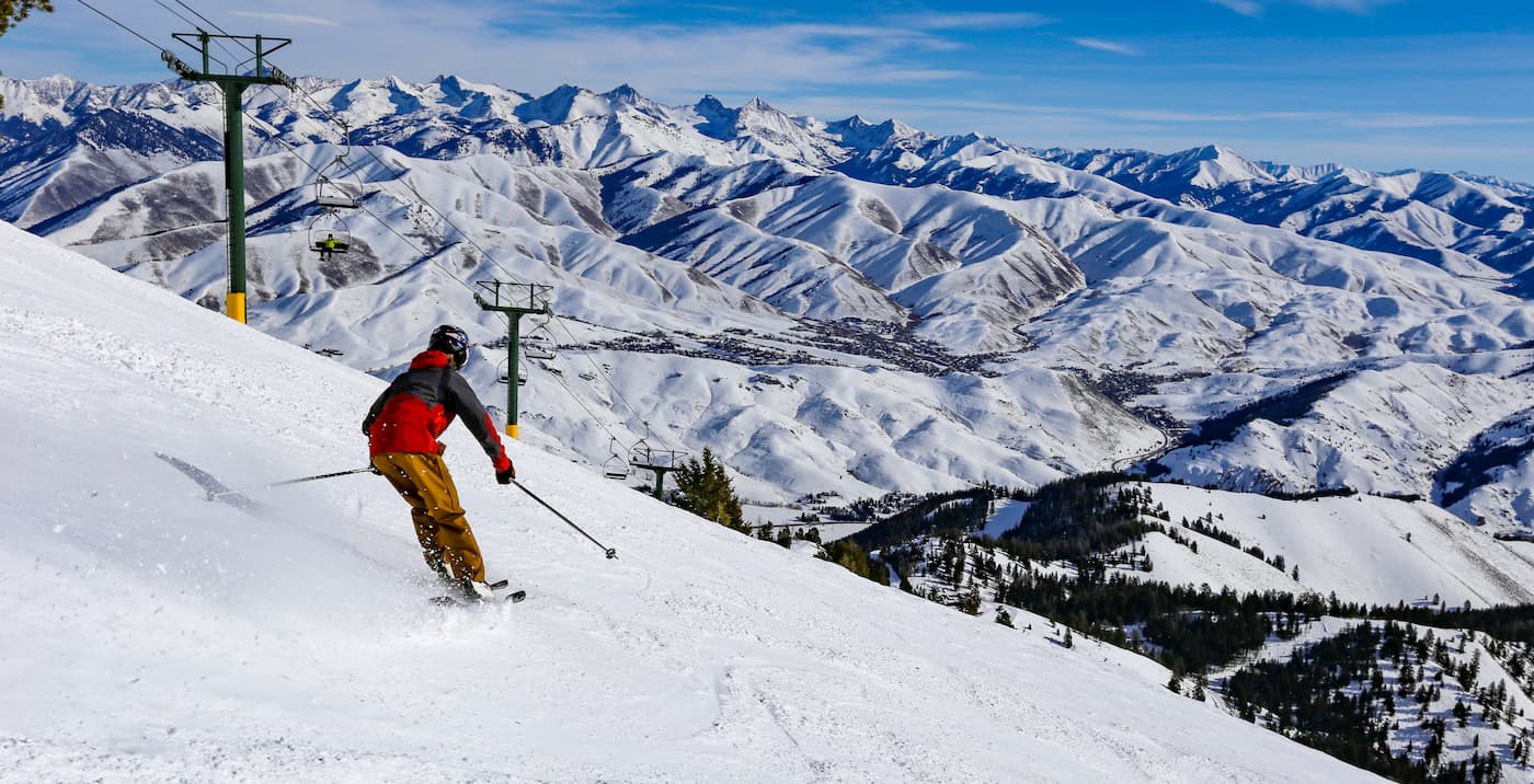
Ketchum and the nearby Sun Valley ski resort are major destinations, especially during the winter months. The area is surrounded by a half dozen mountain ranges and nearly endless hiking opportunities.