Scan the QR code and open PeakVisor on your phone
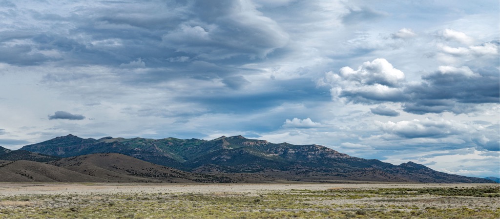
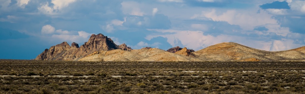
The Fish Creek Range is located in Eureka County in Nevada, USA. The small range is quintessential of the Great Basin Ranges in the state – a mountain chain separated from neighboring ranges by valleys. There are 29 named mountains in the range. With a height of 9,577 ft (2,919 m) and a prominence of 2,261 ft (689 m), Prospect Peak is both the tallest and most prominent.
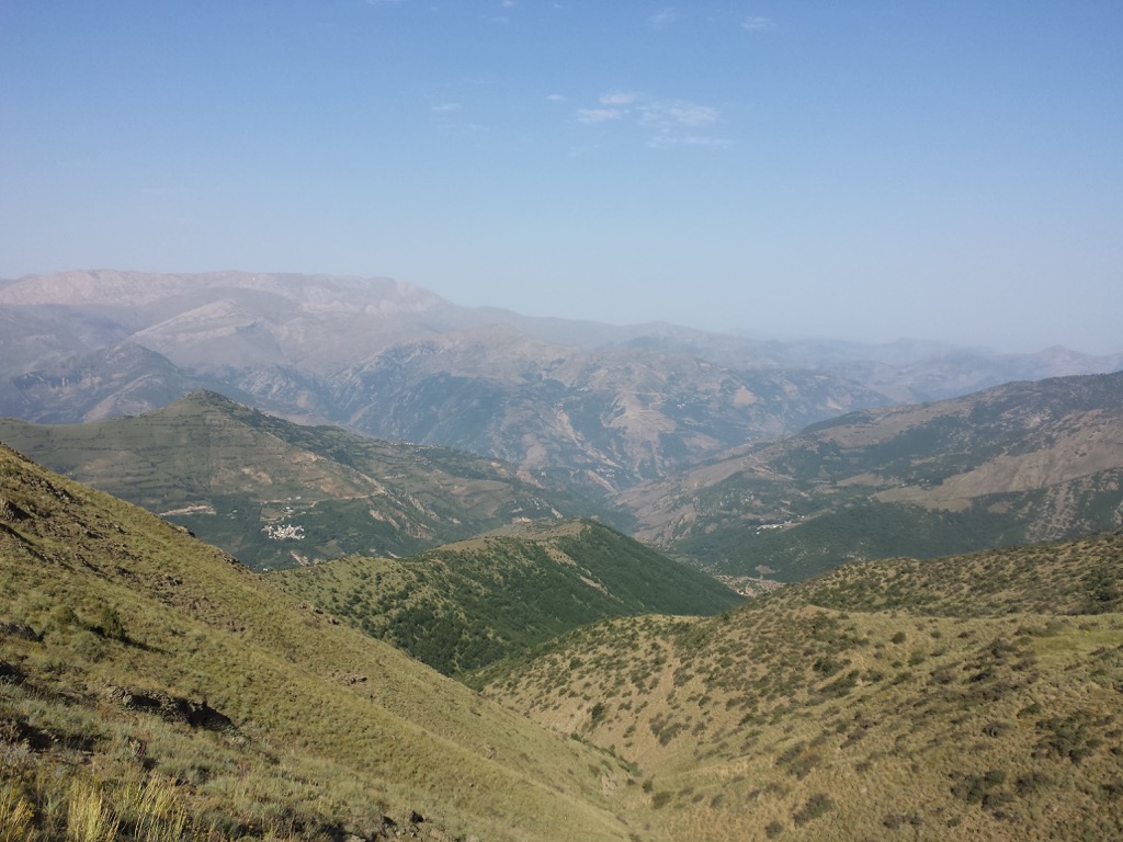
The Fish Creek Range of Eureka County in central Nevada is a small range neighbored by other small ranges and valleys. It lies closest to the Mahogany Hills, the Antelope Range, and the Antelope and Little Smokey Valleys. Other nearby natural points of interest include the Roberts Mountains, Diamond Mountains, and sections of the Humboldt-Toiyabe National Forest.
The range is partially monitored by the Fish Creek Herd Management Area. Wild horses that live in the region are mixed stock with genetics testing back to Old World Spanish breeds and quarter horses.
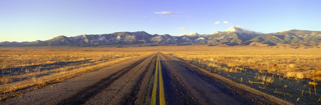
There are no major recreation areas carved out but much of the Fish Creek Mountains and nearby ranges and valleys are public lands and open to hunting, fishing, and hiking. Those passing along Highway 50, also known as the “Loneliest Road in America”, will have ample opportunity to pull off along a dirt road and explore.
The Fish Creek Range is part of the Great Basin Ranges. It formed as the Earth’s crust pulled apart, stretching and thinning. This process created north-south trending mountains with valleys between them and accounts for Nevada’s numerous ranges. Exposed rocks in these ranges span from the Precambrian to Cenozoic eras, as well as sedimentary rock layers from the Permian era.
The Fish Creek Range was one of the earliest sites for understanding the geology of the region. Some of the first studies were carried out in the 1880s on the Paleozoic stratigraphic section of the mountains.
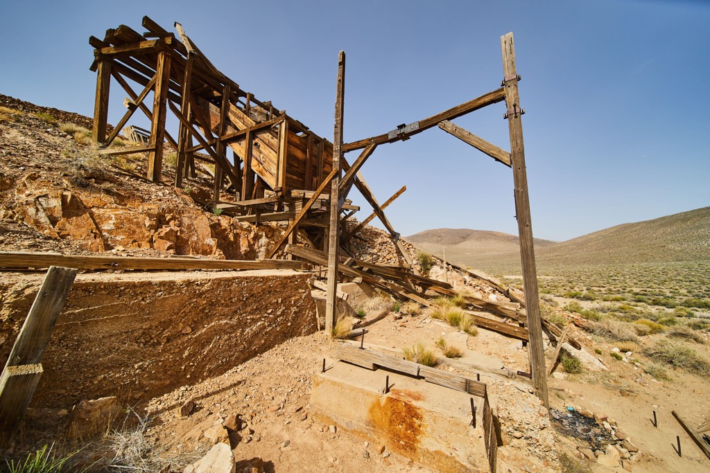
The range and surrounding area has been of mining interest since the discovery of silver-gold-lead ore at Ruby Hill north of the range in 1864. The region around Eureka grew into a major mining hub after the creation of smelters in 1869 allowed silver to be extracted from complex iron ores. Mining peaked in the late 1800s and continued its high through the early 1900s.
The region around the Fish Creek Range can experience extreme temperatures from summer to winter. Although it is generally arid, the area around Eureka can receive a moderate amount of snow and precipitation.
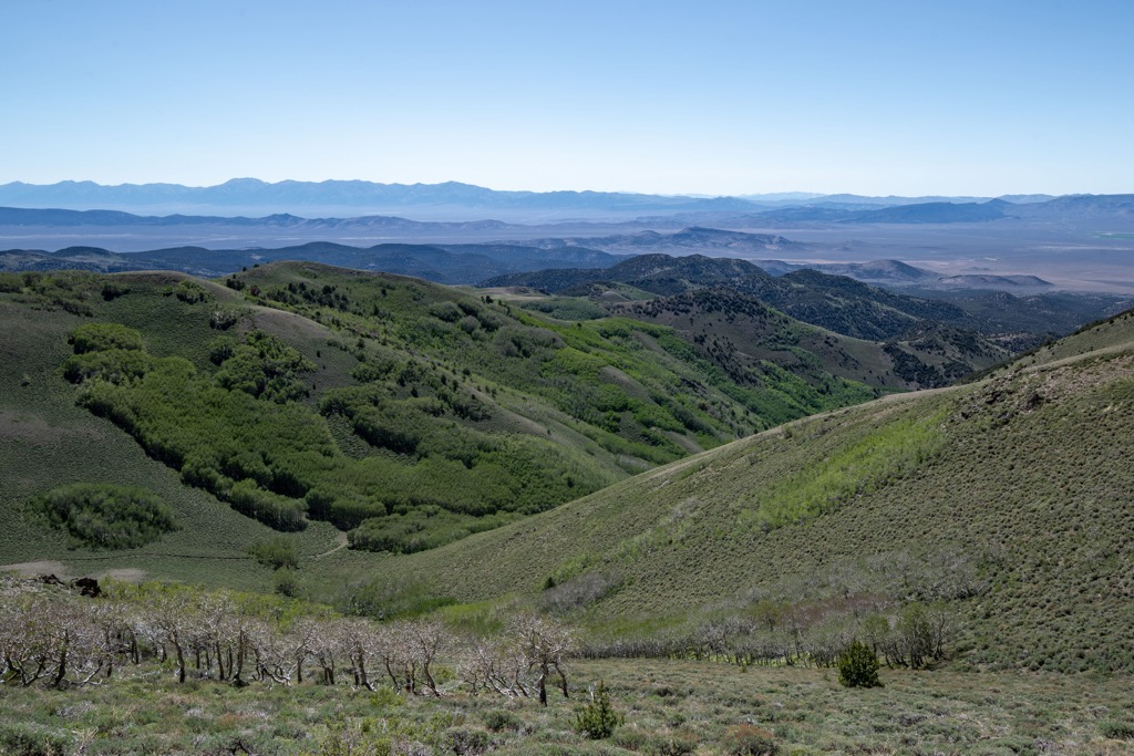
At higher elevations, typical vegetation cover includes juniper, pinyon pine, and mountain mahogany, although trees grow sparsely in general. Lower elevations and foothills support sagebrush, saltbush, rabbitbrush, greasewood, and a mix of grasses and wildflowers.
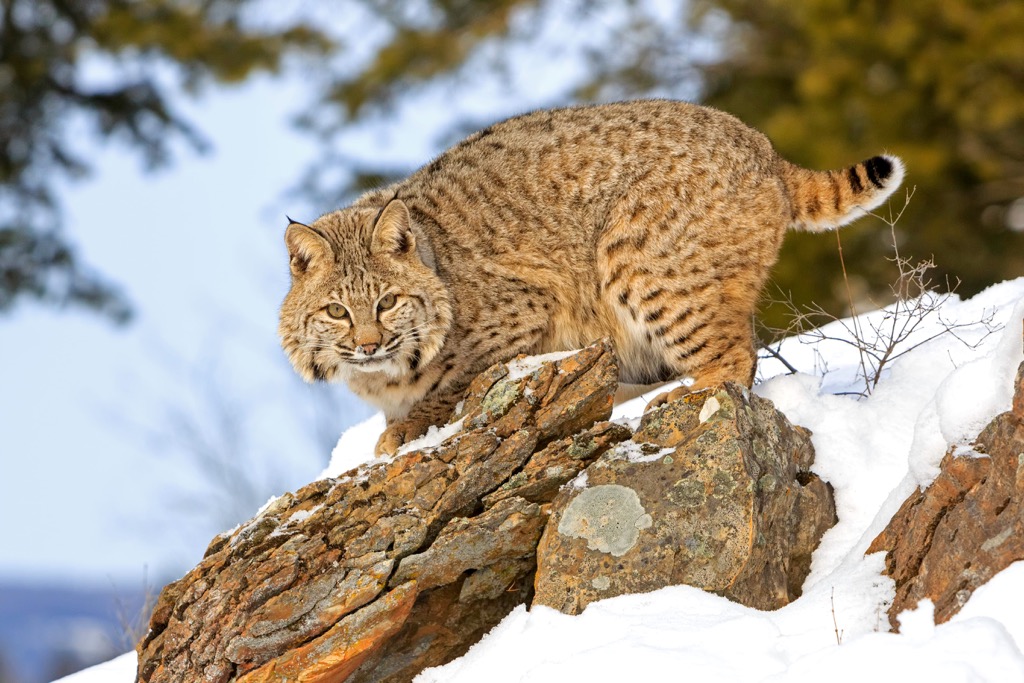
In addition to the wild horses that roam through the range, there is a fair amount of wildlife that calls the mountains home. There are deer, pronghorns, bobcats, coyotes, sage grouse, jackrabbits, cottontails, and a number of small rodents, reptiles, and birds.
The area around Fish Creek Range is part of the Western Shoshone Territory. The Shoshone were divided into several regional bands. The Western Shoshone tended to break into small units while shifting seasonally for hunting and gathering purposes.
Eureka became a major mining center starting with the discovery of silver in 1864. It took a few years to develop smelters to extract silver from the complex iron ores. Once this process was in place, the mining industry in the region took off and experienced its greatest success through the early 1900s.
The smelters required charcoal to operate. During the peak mining years, up to 5,000 acres of forest was cut down annually to satiate the demand for charcoal. Although trees have regrown in the area, this historical demand for fuel is the reason why old growth trees, pines in particular, may be few and far between surrounding the town.
Fish Creek Range is located just off Highway 50, nicknamed the “Loneliest Road in America”.
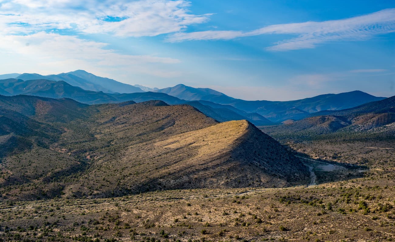
There is no elaborate trail system but most of the mountains are part of BLM land and open to the public. People head to the mountains for hiking, hunting, and fishing.
You’ll typically find access off of dirt roads. Keep an eye out for historical sites while wandering through the area – you might spot abandoned mine shafts and buildings.
There is a portion of the Basin and Range Trail that crosses from Austin to Eureka. It traverses several ranges including the Toquima and Monitor ranges before crossing the Antelope Valley, Mahogany Hills, and finally Fish Creek Range. From Fish Creek Range, the route drops down to Eureka.
Those wanting to do this hike should investigate online as there is not a single set trail. Past hikers can share their tips for navigating the route.
Located in central Nevada, the Fish Creek Range lies reasonably close to towns that offer amenities and outdoor recreation opportunities. Larger cities including Reno, Carson City, and Las Vegas in Nevada and Salt Lake City in Utah are a few hours away by car.
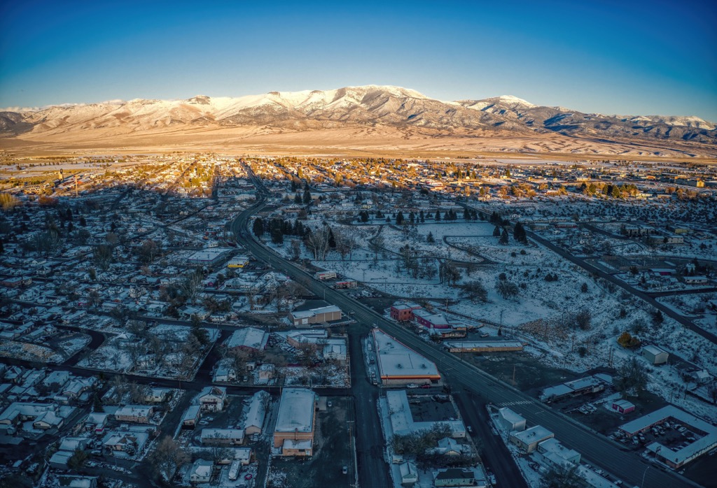
Ely has a population of 4,000 people and is situated off Highway 50 east of the mountains. The town was founded in the 1870s as a stagecoach stop and the area later became a major copper producer. The downtown is filled with local art and those interested in history should visit nearby ghost towns and the historic Nevada Northern Railway.
The town is a great stopover on your way to visit Great Basin National Park, Cave Lake State Park, Ward Charcoal Ovens State Park, and the Ward Mountain Recreation Area. It offers a number of American and Mexican restaurants as well as a smattering of variety of international cuisines. Accommodation in Ely includes hotels, casino resorts, B&Bs, campgrounds, and RV parks.
Elko has a population of 20,000 people and lies to the north of the Fish Creek Range. From Elko there is quick access to the Ruby Mountains and Lamoille Canyon. The town has an Old West feel with a number of saloons and its annual National Cowboy Poetry Gathering. It also has the National Basque Festival to celebrate the area’s unique cultural heritage.
Another way to learn more about the Basque influence in Elko is by sampling Basque cuisine at a local restaurant. Other dining options include familiar American eateries such as steakhouses, grilles, breweries, and cafes. Elko offers hotel-casinos, motels, throwback motor lodges, campgrounds, and RV parks as lodging options.